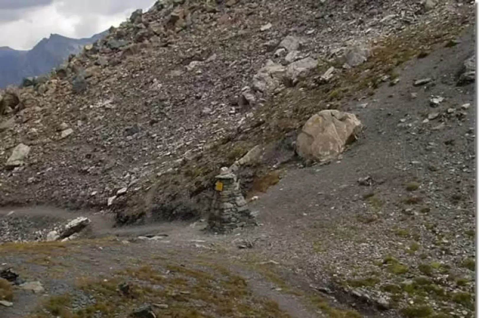
Col de Nannaz, from the Barmaz car park

Edited by:
Ivano Ruffoni
Updated at: 03/09/2024
Introduction
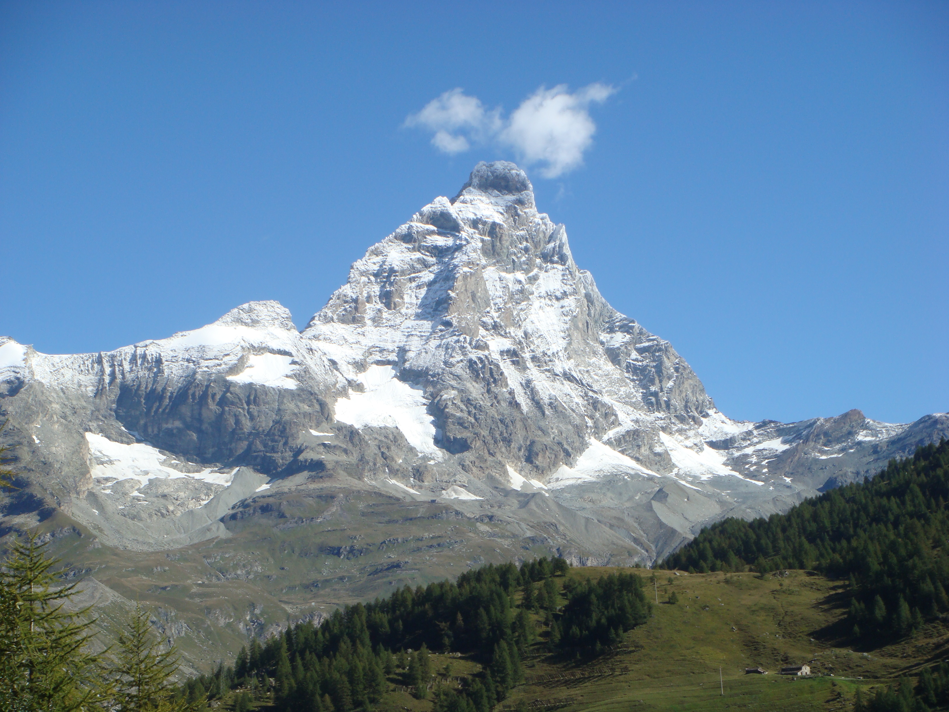
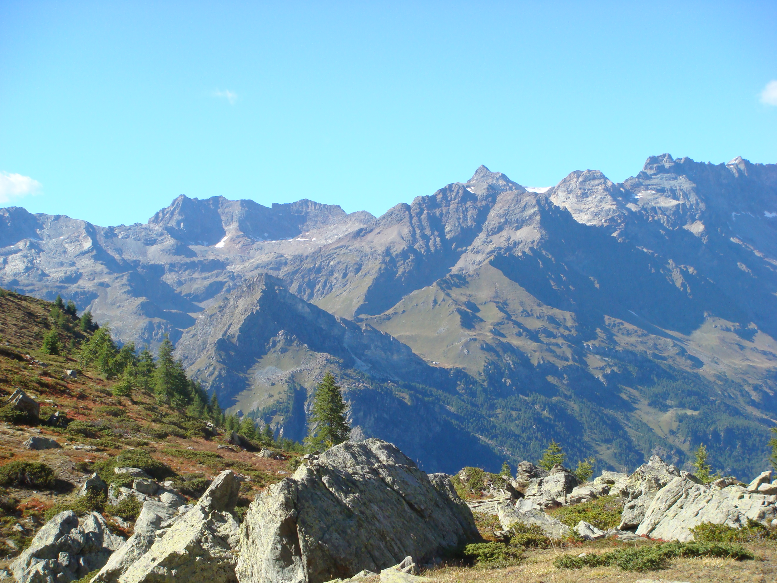
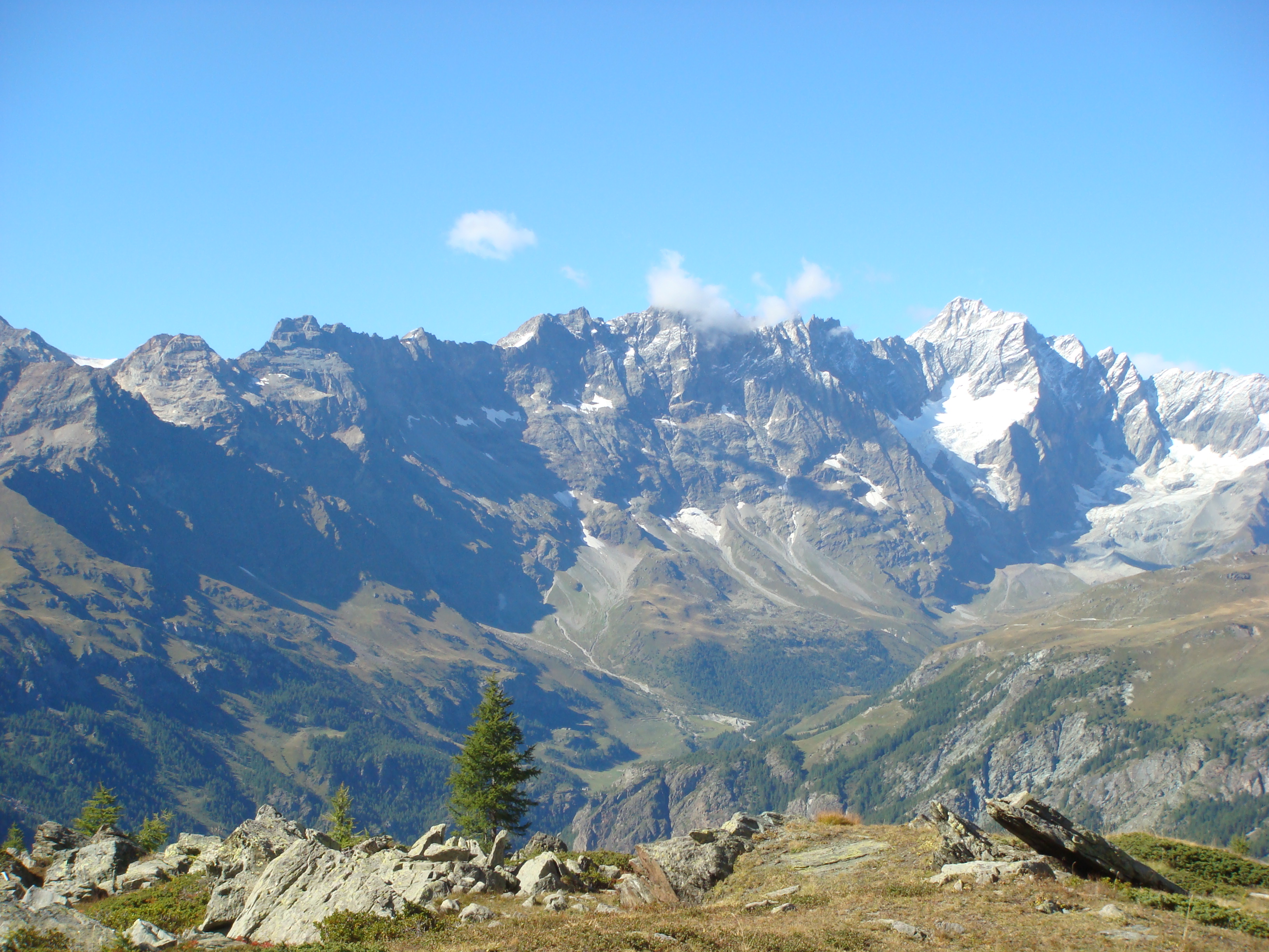
The Col de Nannaz is an ancient and much frequented pass between Valtournenche and the Ayas valley. It separates the Becca di Trecaré from the Bec de Nannaz. The pass can be reached from Saint-Jacques, from Chamois or from Cheneil. The ascent from Cheneil is certainly the least strenuous. The first part of the hike takes place in the beautiful basin of Cheneil, after which it passes through a larch forest, climbs up through pastures and then descends into the Vallone di Chamois. The last stretch before the pass is in a severe environment amidst scree. We recommend the return via the Clavalité Sanctuary, an incredible panoramic balcony over the Matterhorn and the Grandes Murailles.
Description
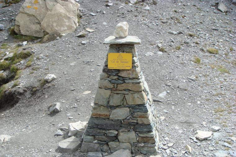
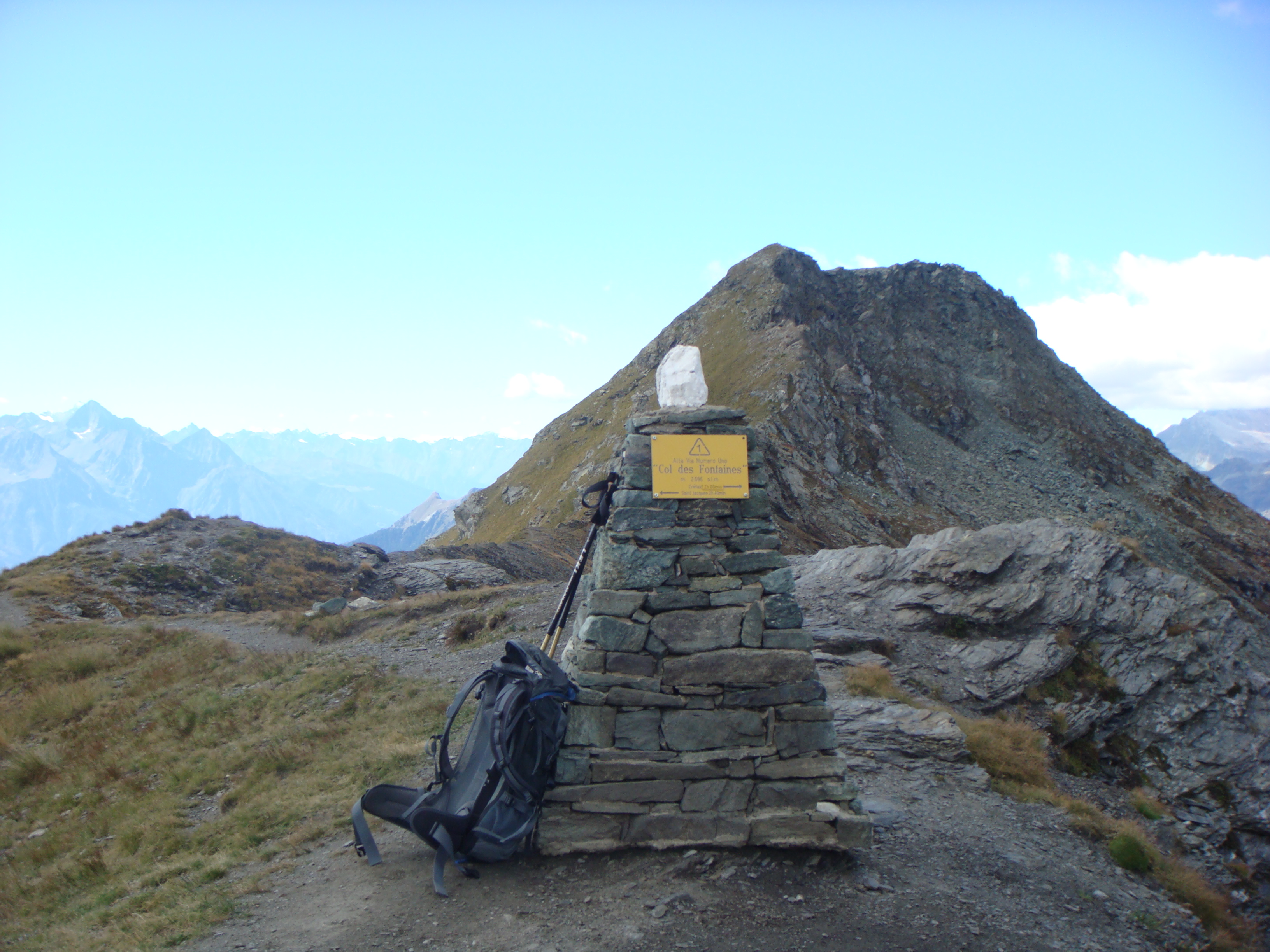
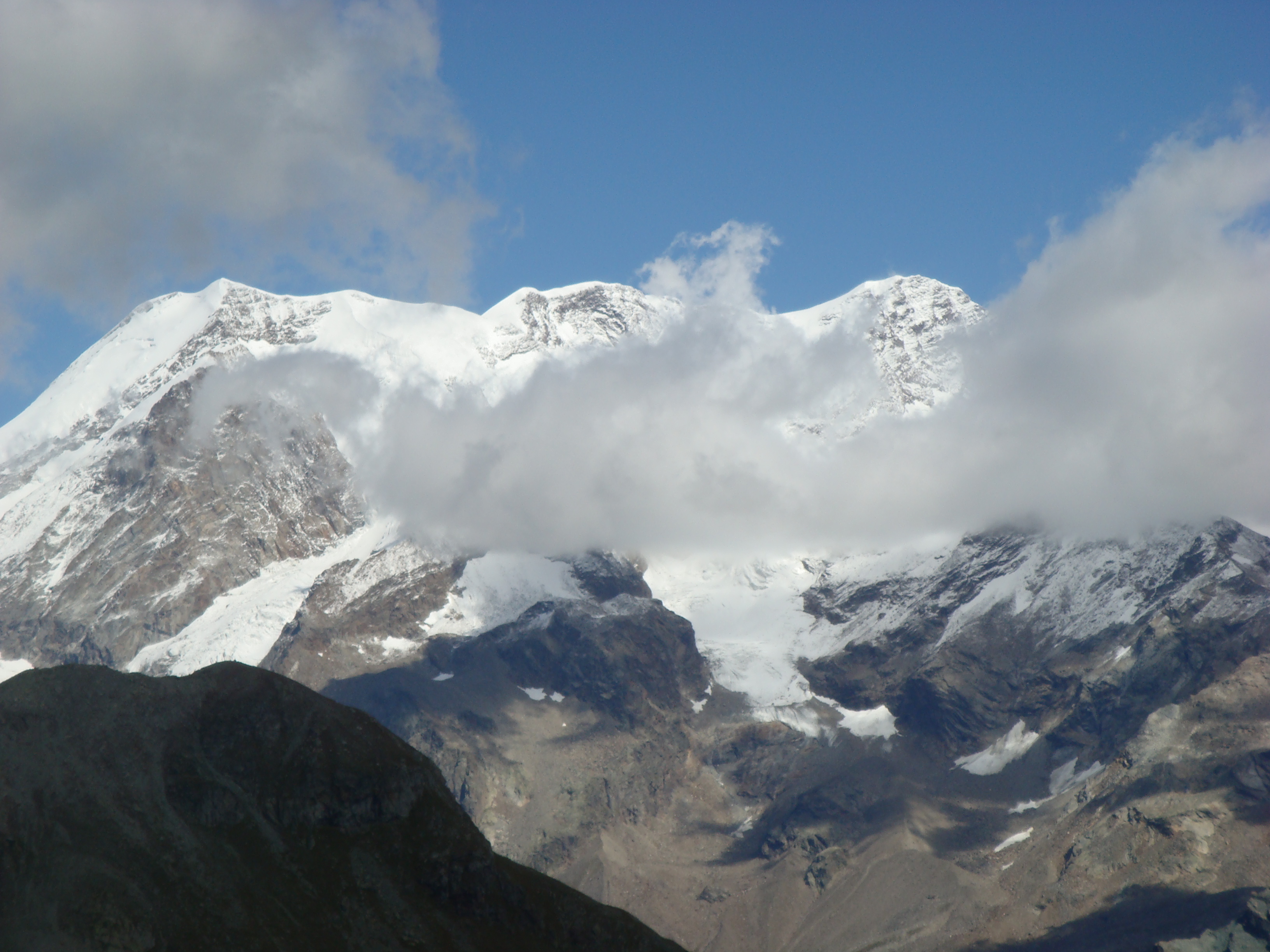
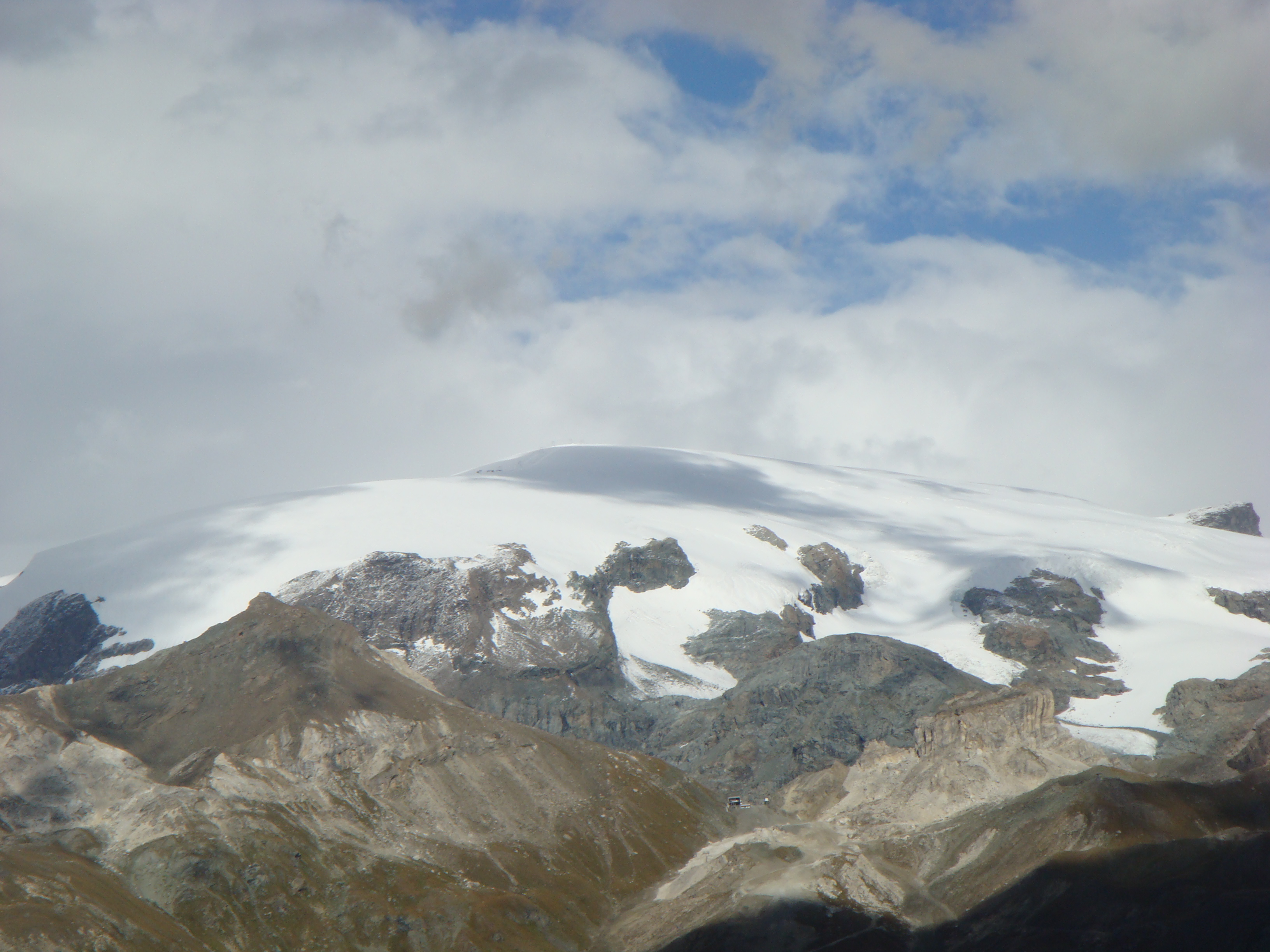
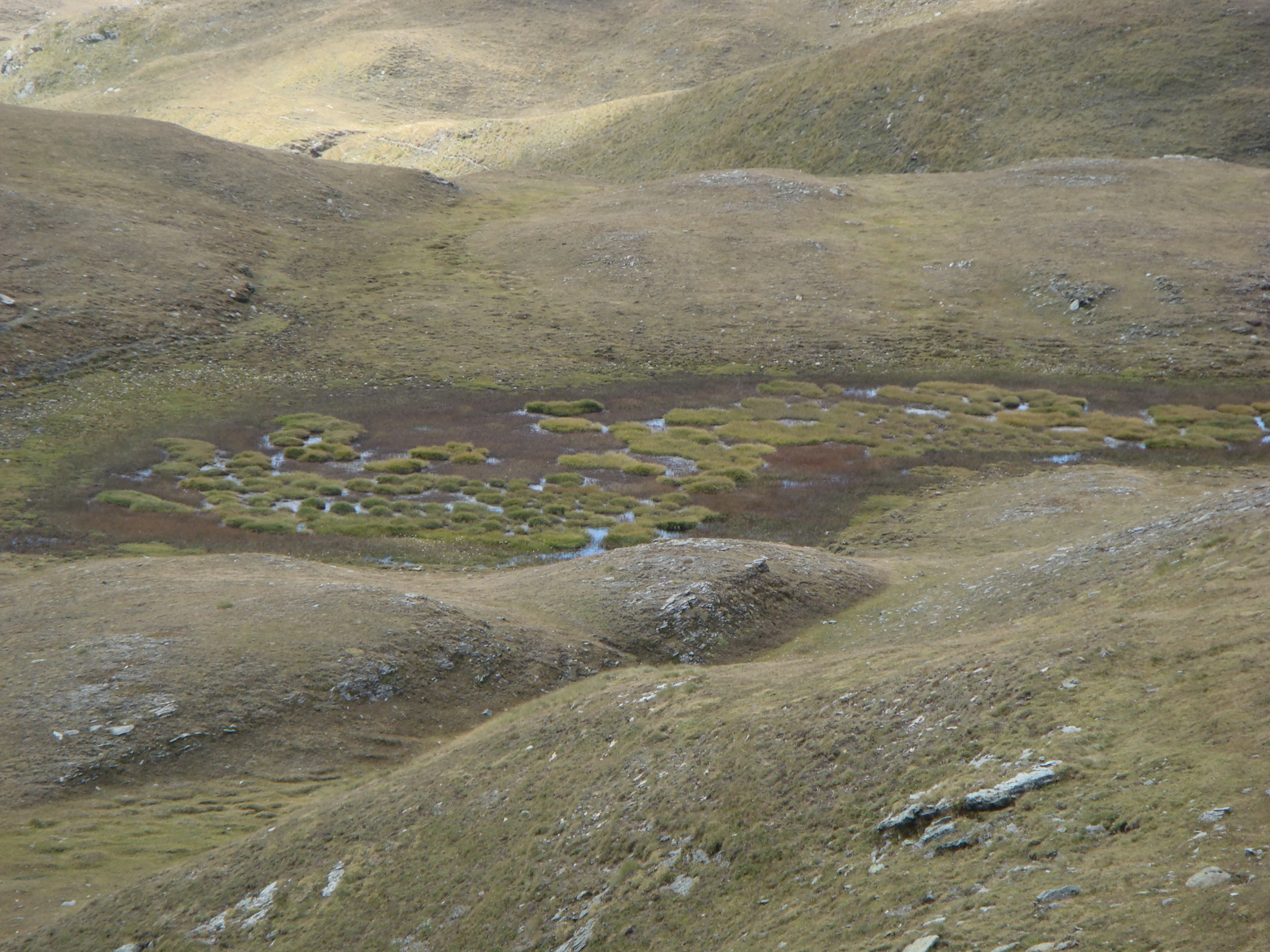
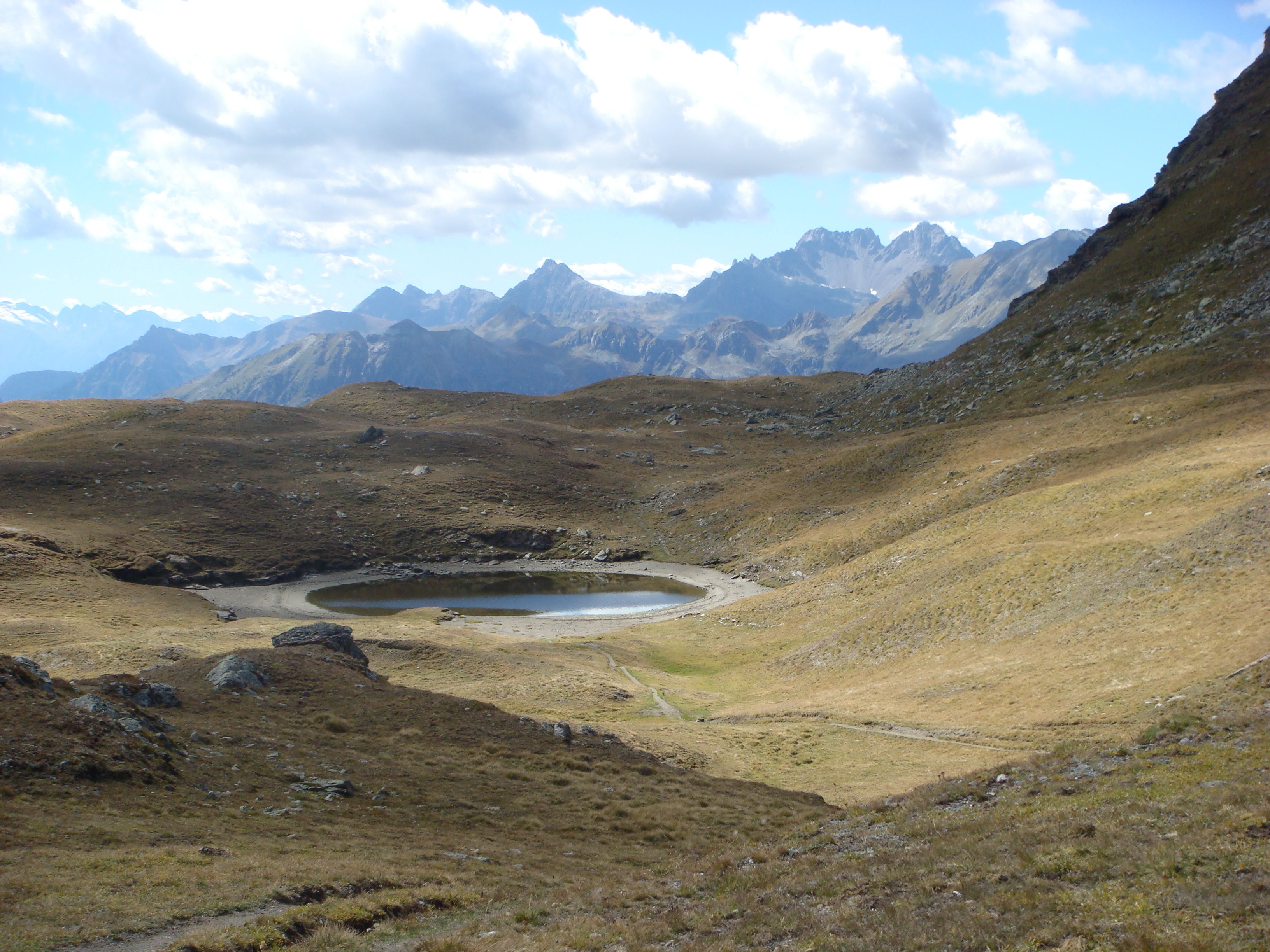
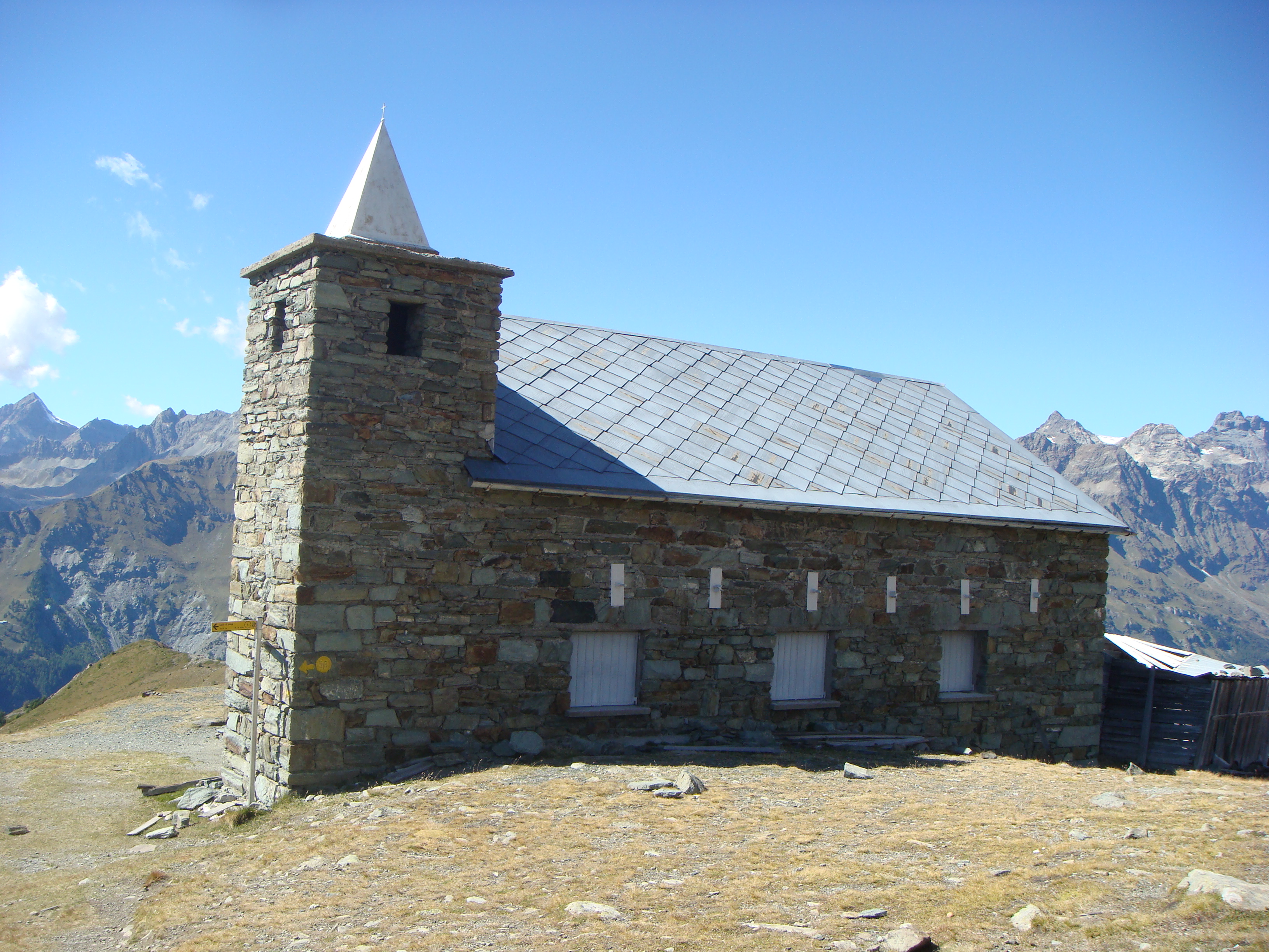
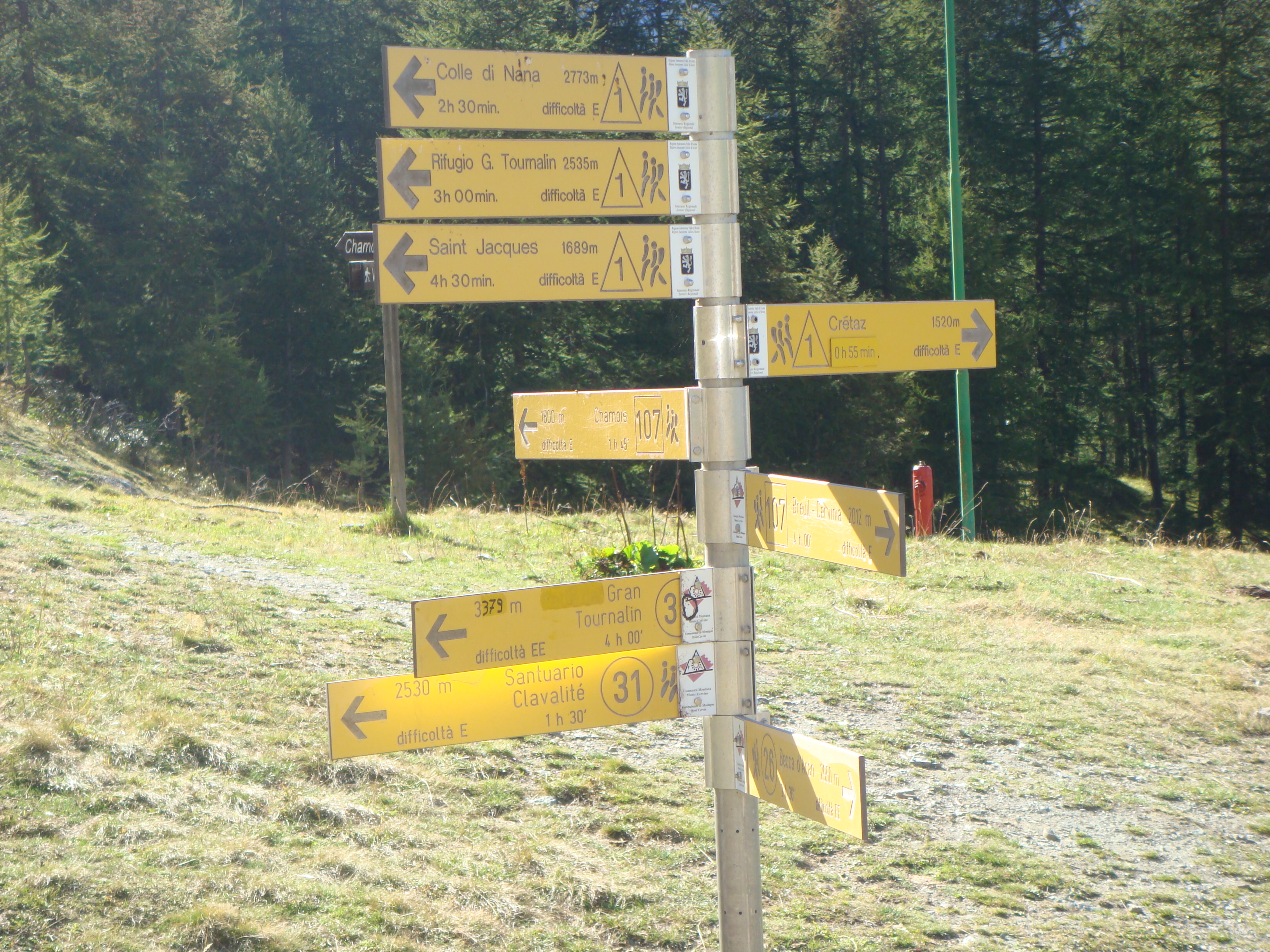
From the forecourt, pass to the right of the departure station of the small cable car that supplies Cheneil, cross a wooden bridge over the stream that collects the waters flowing down from the western slopes of the Grand and Petit Tournalin, and climb up a wide mule track, marker , next to the cable car and a waterfall, the step that precedes the Cheneil basin. At the beautiful plateau of Cheneil (2105m, 0h10'), move to the right to reach the marker post. Follow the path , and enter a sparse forest of larch and alder trees. After a few patches of blueberries and rhododendrons, you cross, on the right, the marker for the Clavalité Sanctuary. After another 7 to 8 minutes of walking through pastures, leave the / trail to the left for Monte Roisetta and the Grand Tournalin and climb up to the four aligned huts of Alpe Champ-Sec (2328m, 050'). In hairpin bends, below the northern slopes of the Punta Falinère, you ascend beautiful pastures, while, behind you, incredible views open up from the Matterhorn to Lake Cignana. One last stretch and you are at the Fontanette Pass (2697m, 1h45'), also called the Croux Pass or Col des Fontaines. You now descend with a long diagonal descent into the Chamois valley, losing forty to fifty metres in altitude, until you cross the trail marker (2) for Chamois. Shortly afterwards, the trail passes a small lake (approx. 2650m) and then turns left, climbing up the scree above the Col de Nannaz (2772m, 2h20'). To the north of the pass is the Becca di Trécare, to the south is the Bec de Nannaz and, beyond the pass, towards the Ayas valley, the Grand Tournalin hut is visible below. Near the pass, to the left, there is a large depression that can provide shelter on windy days. As an alternative to descending by the same route followed during the ascent, it is suggested that you descend to the small lake (approx. 2650m) and then take the / markings to the left. After a few minutes, follow marker to the right for the Clavalité Sanctuary. Climbing slightly over pastureland, with beautiful views of the valley below, you soon reach a second small lake. Again uphill, you round a spur of the Punta Falinère and after a long diagonal stretch slightly uphill, you reach the Clavalité Sanctuary (2530m, 1h00'). The view of the Matterhorn and the Grandes Murailles is superb. Now descend on the dirt track, go around a modest summit on which an anemometer is placed, and you will reach a widening. Here, turn right, marker , and by turns, amidst rhododendrons and bilberries, descend to rejoin the path taken during the ascent. When you reach Cheneil (2105m, 1h50'), walk across pastures to the arrival station of the cable car and descend along the wide mule track to the parking area below (2023m, 2h00').
We have been there

Edited by:
Anna Della Giovanna
Col de Nannaz
Alla fine del paese di Valtournenche si volta a destra per Cheneil/ Bringaz. Si segue la strada per qualche chilometro passando l’area pic nic Champleve finche’ si arriva alla fine della strada carrozzabile a Barmaz dove si puo’ parcheggiare.
Raggiunta l'uscita dell'autostrada Autostrada A5 di Châtillon attraversare il paese e risalire la strada della Valtournenche. Oltrepassato il centro di Valtournenche deviare, a destra, sulla strada per Cheneil. A svolte la strada tocca le frazioni di Chaloz, Chaperon e Brengaz, supera l'abitato di Chanlève e, dopo alcuni tornanti, termina in un grande piazzale (2023 m), in prossimità della stazione di partenza della teleferica che rifornisce Cheneil.
Alla fine del paese di Valtournenche si volta a destra per Cheneil/ Bringaz. Si segue la strada per qualche chilometro passando l’area pic nic Champleve finche’ si arriva alla fine della strada carrozzabile a Barmaz dove si puo’ parcheggiare. Dal parcheggio si seguono le indicazioni per Cheneil (15 mins) Il paese e’ una vera perla con grandi viste sul Cervino e sulle montagne circostanti. Si resta sulla destra, dove delle palline segnaletiche indicano il sentiero AV1 – Col de Nannaz 2.30hrs. Si sale tralasciando il sentiero nr 31 per il Santuario di Clavalite’ e si continua a salire abbandonando sulla sinistra i sentieri 29 e 30. Si passa Champsec e, dopo altri 300+m di dislivello si arriva finalmente a Col des Fontaines (2695m) da dove si inizia a scendere. Si passa di fanco ad un laghetto (2672m) dove il sentiero piega a sinistra e inzia la salita per il Col de Nannaz (2772m). Purtroppo quando siamo andati noi la valle d’Ayas era un po’ nuvolosa, quindi non abbiamo potuto godere della bella vista sul Monte Rosa. Si discende dalla stessa AV1 e, pcoco dopo il lagheto, si prende la deviazione sulla sinistra per i sentieri 1 e 2. Si attraversa un torrente e lo si fiancheggia sulla sinistra. Di li’ a poco il sentiero si divide e noi prendiamo il numero 1 sulla destra. Si guada un torrentello, si risale e si fiancheggia il monte in semipiano con gran vista sul ripiano paludoso di Clevia Bella. Si passa un laghetto completamente rotondo tenendo la destra e si risale dove il sentiero 1 e’ chiaramente segnato sopra un masso. Da li si prosegue su saliscedi fino al Santuario di Clavalite’. Si scende sulla strada dove arriva l’impianto di risalita da Chamois e si prosegue fino al Col de Fontana Freida dove si prende il sentiero nr 31 che scende a fino ad immettersi sull’Alta Via dell’andata. Si volta a sinistra e si prosegue fino a Cheneil

Edited by:
Massimo Martini