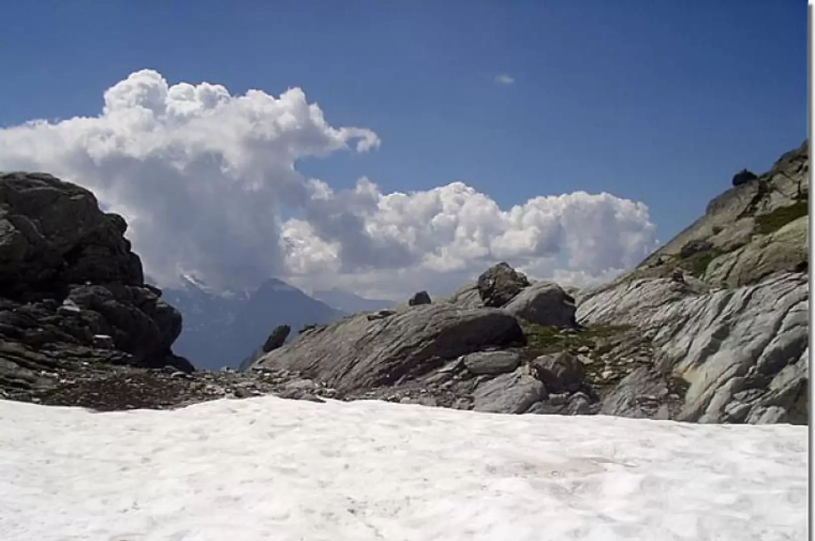
Col de la Lex Blanche

Introduction
This itinerary leads to the upper part of the severe Bellacomba valley, upstream of the two beautiful lakes of the same name set in an enchanting valley. The first part of the hike passes by the three Rutor waterfalls (diversions recommended), followed by a section in a very green valley and the next in an environment of modest snowfields mixed with scree and areas of stacked blocks.
.Description
Before the car park of the restaurant-bar (1603m), on the left, the track, markers (3) and (8 ), starts to follow. Proceed for a short distance along the stream and cross over a beautiful bridge to the opposite bank. In the middle of the forest, climb up to the panoramic balcony on the first Rutor waterfall (1700 m, 0h15'). Continue along twists and turns in the forest, passing a characteristic boulder and coming out at Parcet. Now proceed on a gentler ascent, passing by another waterfall and reaching a bucolic plateau near the stream, close to a bridge. Continue uphill on the path, which is paved in places, until the short diversions, to the right, to the second waterfall. Continue uphill and in a few minutes you will reach the next turnoff for the third waterfall, which can be reached in 3-4 minutes (1996 m, 1h10'). When visiting this waterfall, pay particular attention to the very slippery terrain because it is constantly splashed with water. Resume the path by climbing up a stepped section to the fork, on the left, for the Deffeyes hut. Go right, trail marker No. 8, to cross the Rutor torrent on a bridge (2147m, 1h 40') just near some waterfalls. Go up a stream to the junction for Cerellaz, marker trail N° 18, and go left up the little valley to the entrance of the Bellacomba valley. The path now continues on a grassy ridge, passes a ruin, and overlooks the basin of the first Bellacomba lake. Proceeding to the right (orographic left) along the lake, one easily reaches the second Bellacomba lake (2379 m, 2h50') in the middle of which stands a strange, sharp islet. Having forded, on the left, the short stream connecting the two Bellacomba lakes, follow the path (a few tens of metres) that runs alongside the lake and, ignoring the track for Col Tachuy on the left, cross some modest snowfields (snow even in the late summer season) and some scree to the other end of the lake. Now head left to traverse a larger snowfield, and then more snowfields and areas of piled blocks following, where visible, the few remaining cairns. The track then traverses to the right (orographic left of the tributary of the Bellacomba lakes), enters other areas of scree and piled blocks (becoming a little more visible), and heads towards a ruin. It now turns left to cross another modest snowfield and reaches the Col de la Lex Blanche (2570 m, 3h50'). The descent follows the same route: descend to the second Bellacomba lake (2389 m, 0h50'), follow the path to the Rutor bridge (2147 m, 1h35'), then to the third waterfall (1996 m, 2h10') and to the car park (1603 m, 3h10').