Col de Dondeuil, from Fontaney

Edited by:
Ivano Ruffoni
Updated at: 04/05/2025
Access
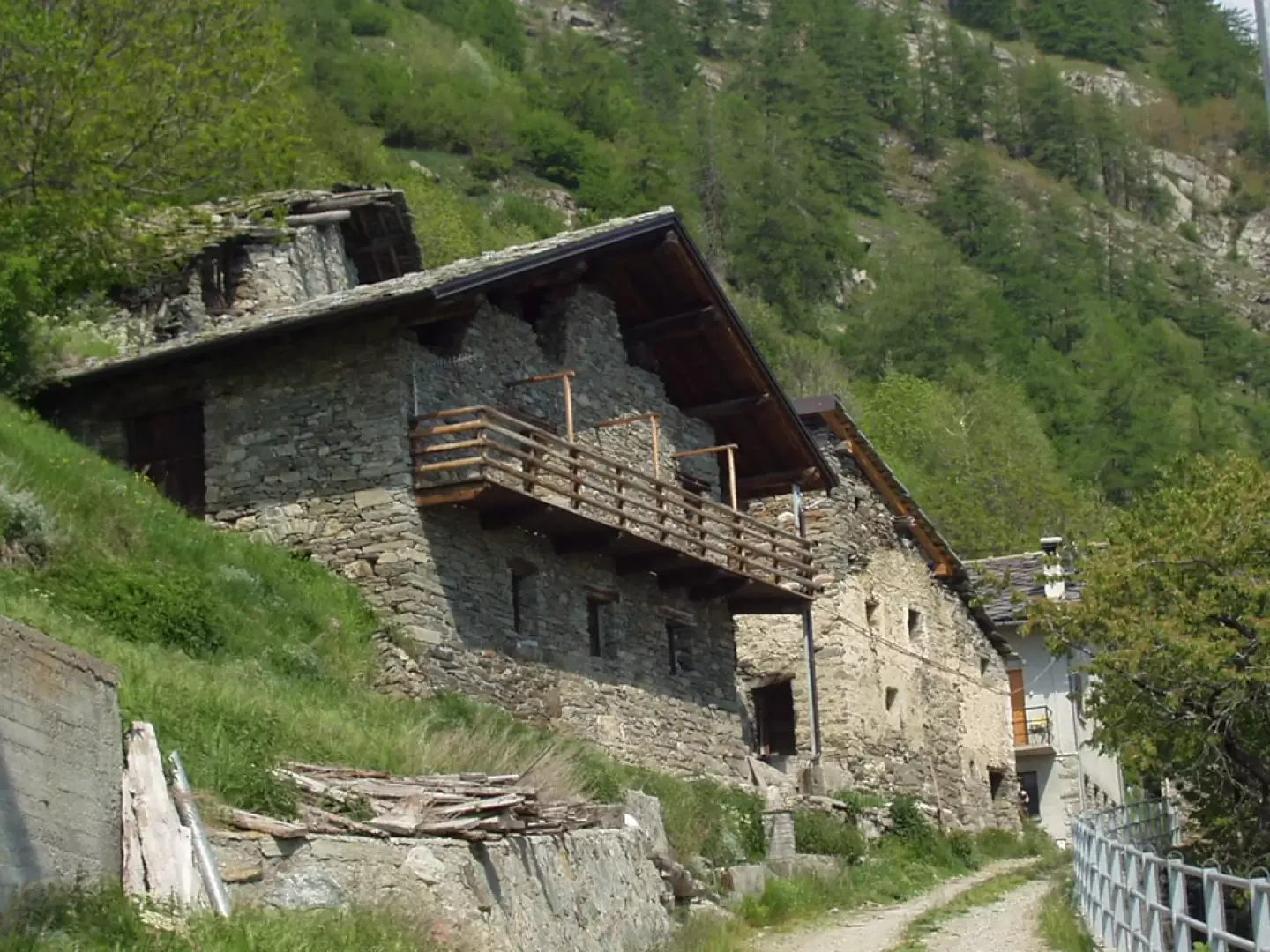
Leaving the motorway at Verrès, head up the up the Ayas Valley. Just before the houses of Targnod, near a hairpin bend, turn right onto a narrow tarmac road that descends towards Isollaz (650m). Cross the bridge over the Evançon stream, leave the "Strada Fobe" on the right and climb up pastures next to the Bonot Tower, in the past a means of communication between Graines Castle, Villa Castle and the valley floor, and a customs post and sentinel for access to the Dondeuil valley. The road, which is very narrow in places, enters the forest and, via hairpin bends, passes Vellou, Valfrèche, Turruvin and reaches Ollion (1168 m). From the hamlet of Ollion, the road, which is even narrower and asphalted only in a few sections, rises to Vadebrie (1264 m) and reaches Fontaney (1422 m). Park in a small clearing on the left, just before the village, or, alternatively, in a larger one just after the village, a few metres after the sign indicating that unauthorised persons and vehicles are prohibited.
Introduction
Easy itinerary that for a good part, up to the start of the final Col de Dondeuil valley, follows a wide mule track. The final section, on the other hand, is quite steep and winds along tracks, not always evident but abundantly indicated with large yellow arrows. The pass was, in the past, used as a transit pass for the French troops led by Napoleon.
Description
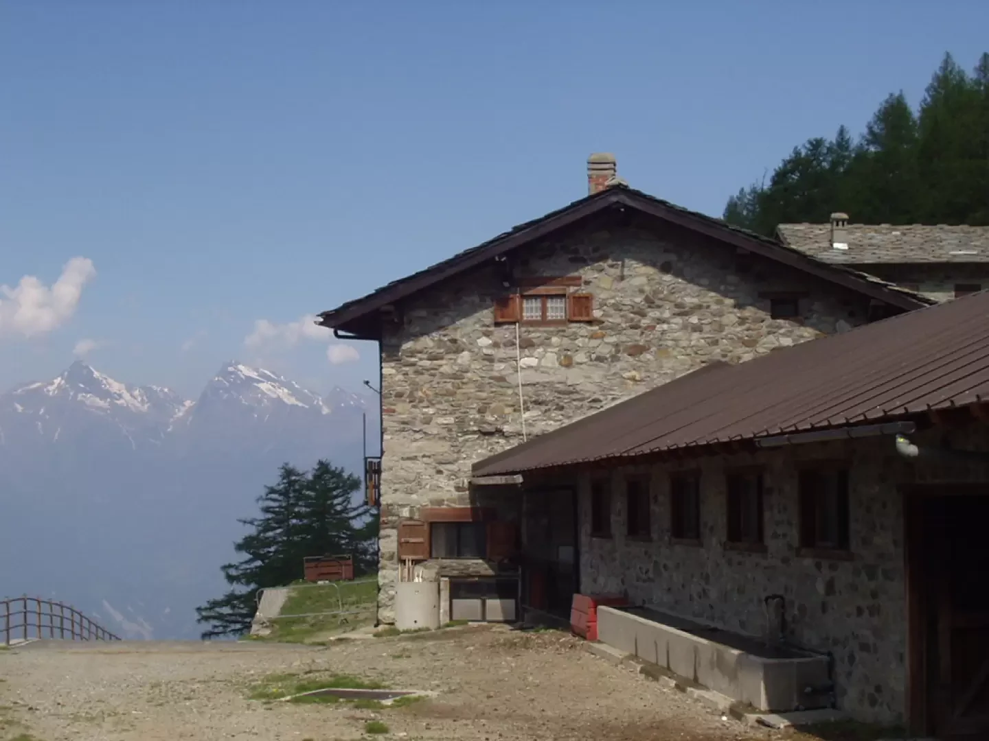
From the village of Fontaney (1422m), follow the wide dirt track that runs through the village. You soon reach an aqueduct outlet from where, shortly afterwards, you take the shortcut on the left, marked with yellow arrows, at the first hairpin bend. Among large earthworks, you proceed along the dirt track with beautiful views, behind you, of Mont Avic. Crossing several streams, the road reaches the beautiful meadows surrounding Alpe Chalex (1780m), renovated in 1991. You are now in sight of the final valley leading to the Col de Dondeuil. In less than fifteen minutes, you reach the Alpage Dondeuil dessous (1815m, 1h15').
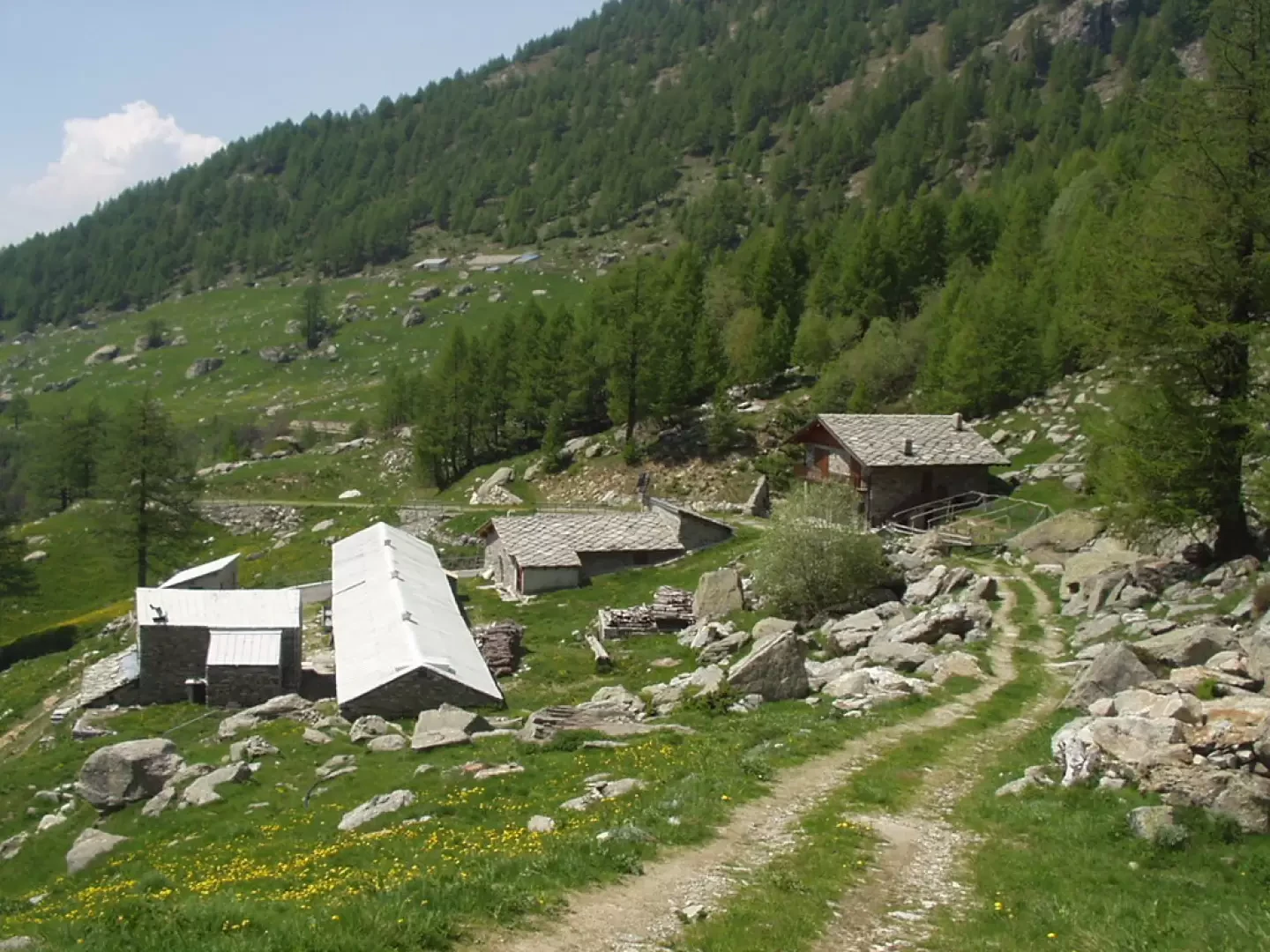
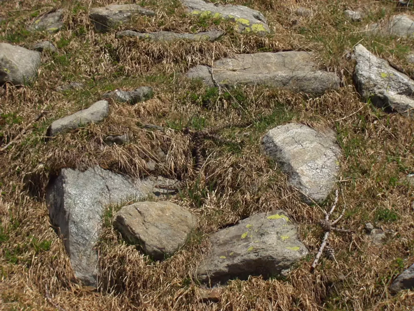
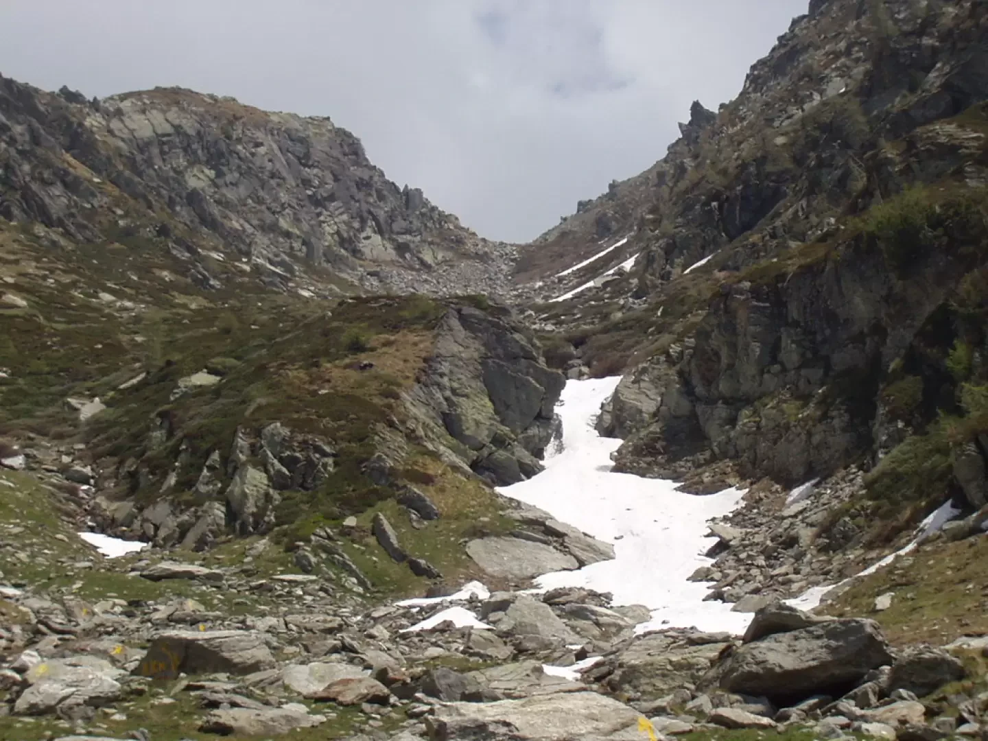
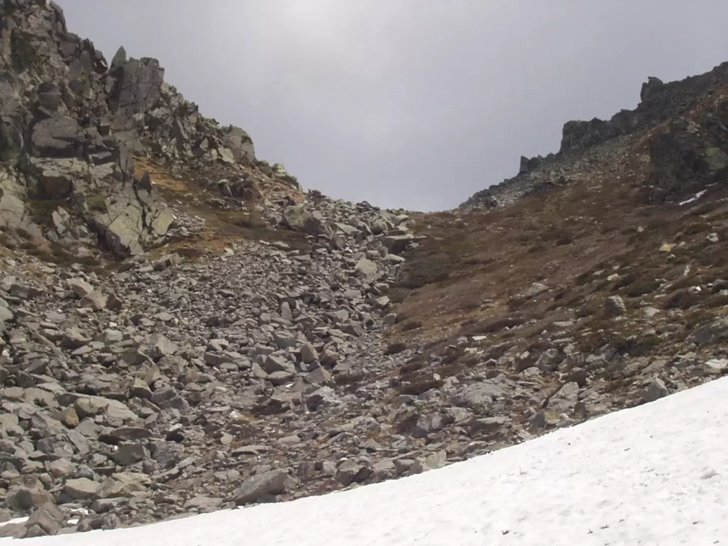
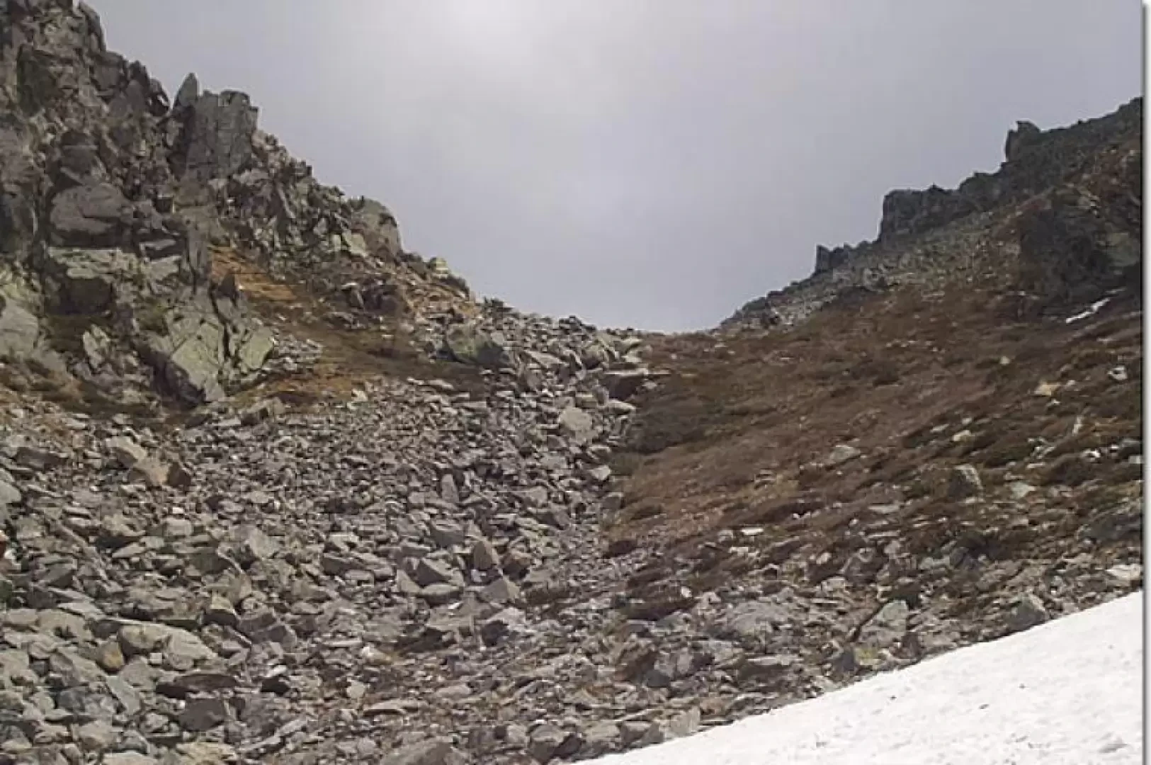
The dirt track continues until the last huts in the valley, which can also be reached by mountain bike, but just before, on the left, a poorly maintained, closed-bottomed dirt track branches off. Follow this dirt track for a few metres and, to the right, near a boulder, take a path, not very evident at first but then well marked with large yellow arrows. Over stones and grass, among marmots and snakes (be careful), you come to a grassy shoulder and, bypassing or crossing a couple of modest snowfields, usually only present in spring, go up the last stone gully that leads to the Col de Dondeuil (2338m; +1h30'; 2h45').
The descent is by the ascent route.
Riferimenti Bibliografici
- Alpinismo e Escursionismo in Val d'Ayas - Merlo Giorgio -
Galleria fotografica