Col d'Arlaz, from regional road 7


Edited by:
Massimo Martini
Updated at: 25/08/2025
Access
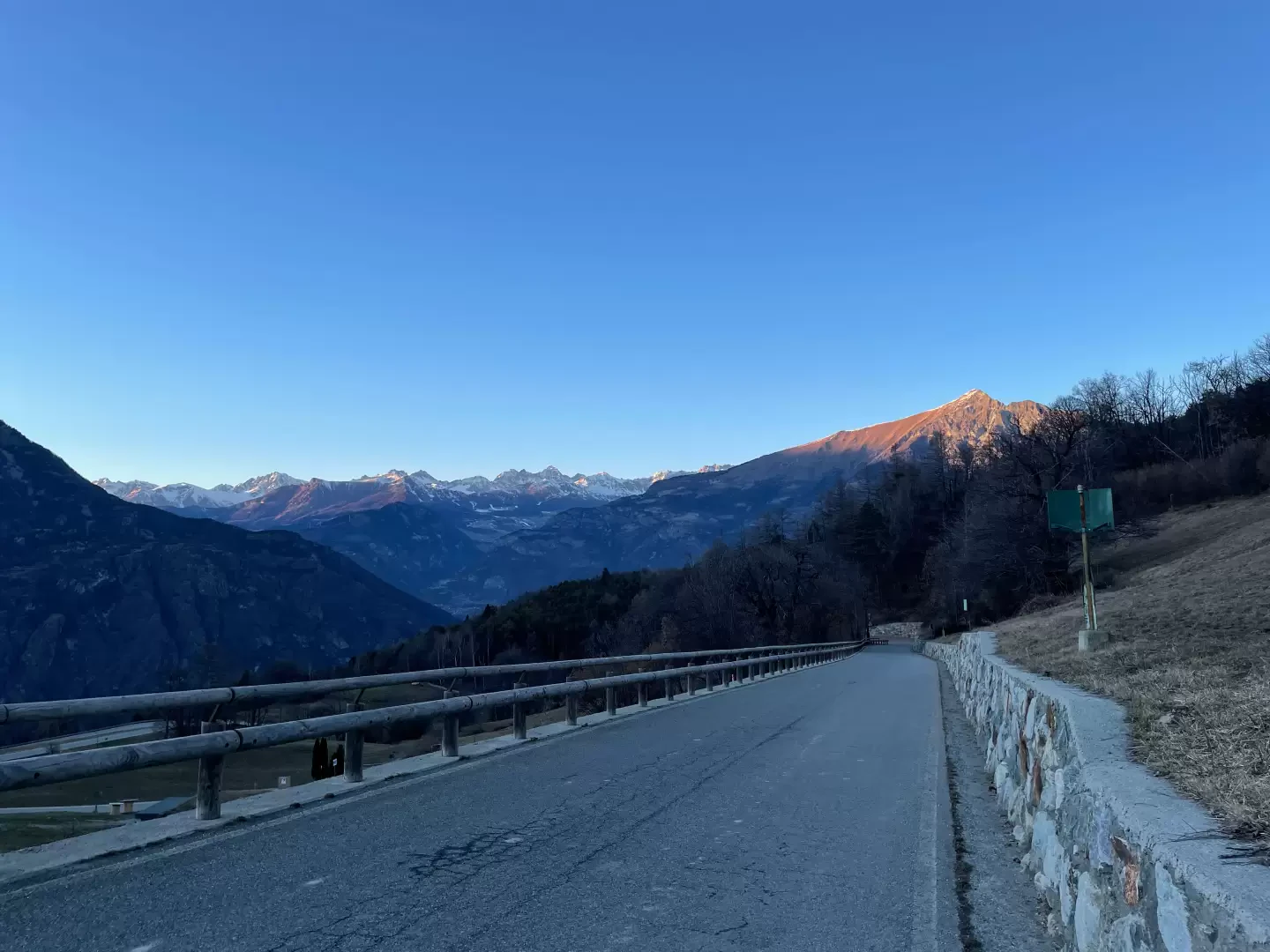
Leaving the motorway at the Châtillon/Saint-Vincent exit, turn right towards the spa town. After passing a set of traffic lights, continue straight on into Saint-Vincent and, having reached Casino de la Vallée, take Via Marconi, which branches off to the left. Follow Via Marconi in its entirety, then Via Roma until you reach Piazza XXVIII Aprile: at the roundabout, go straight along Via Ponte Romano and, at a petrol station, turn left onto the regional road to be followed for 2.6 km, where you will find a small clearing until you reach it, where, on the right, there is a small car park adjoining a playground.
- How to get there with GMAPS
- How to get there with Apple Maps
Introduction
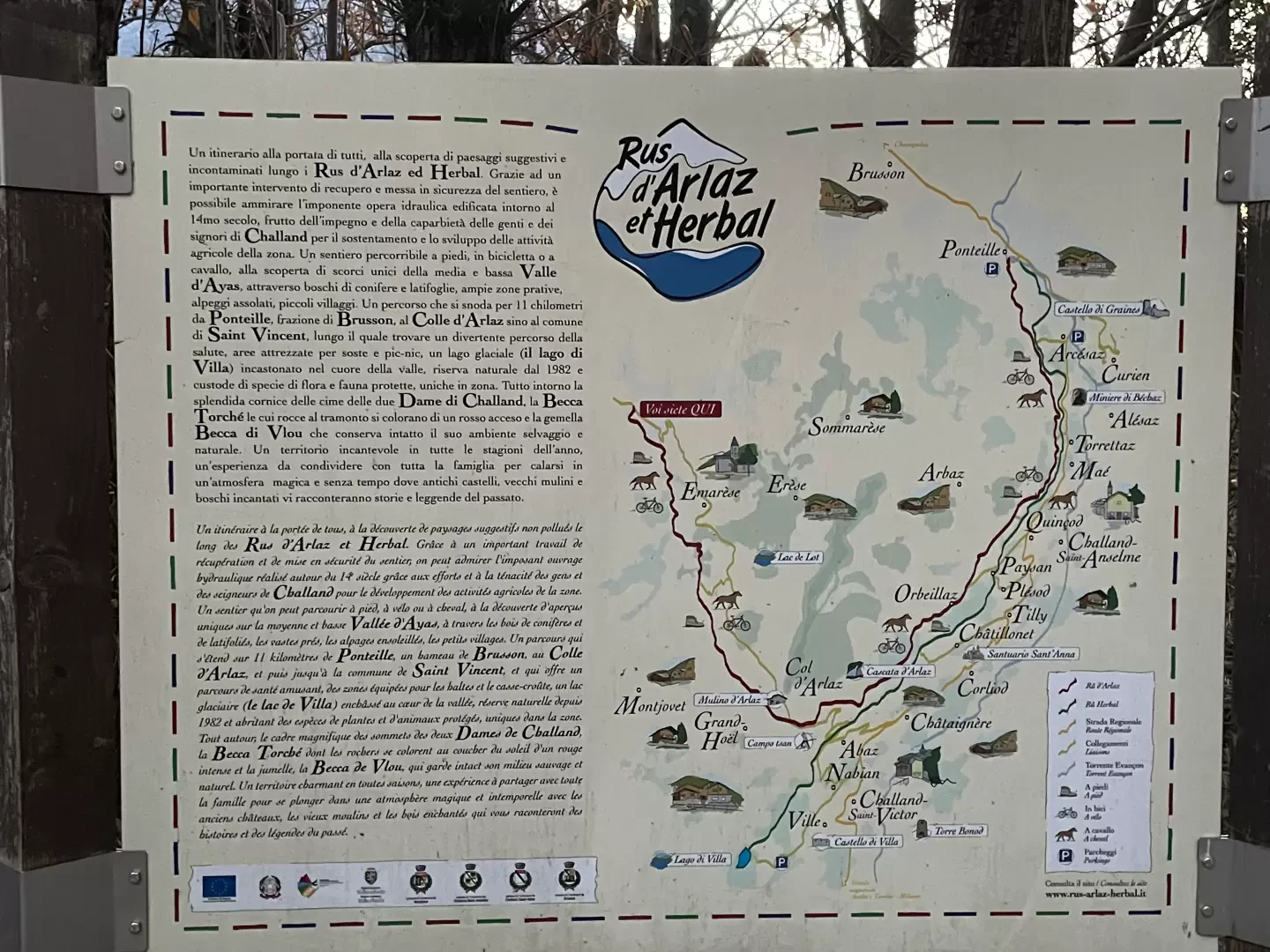
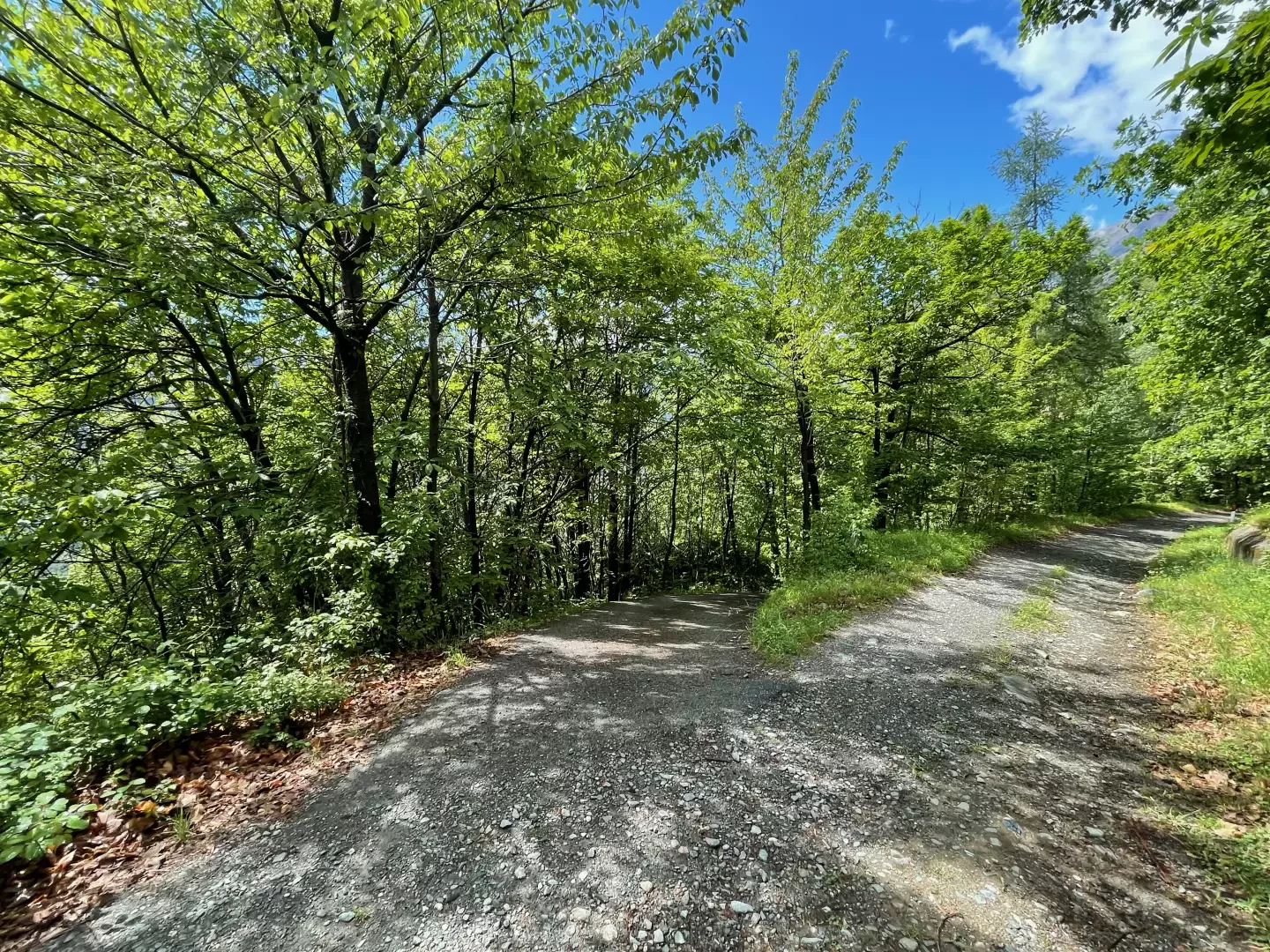
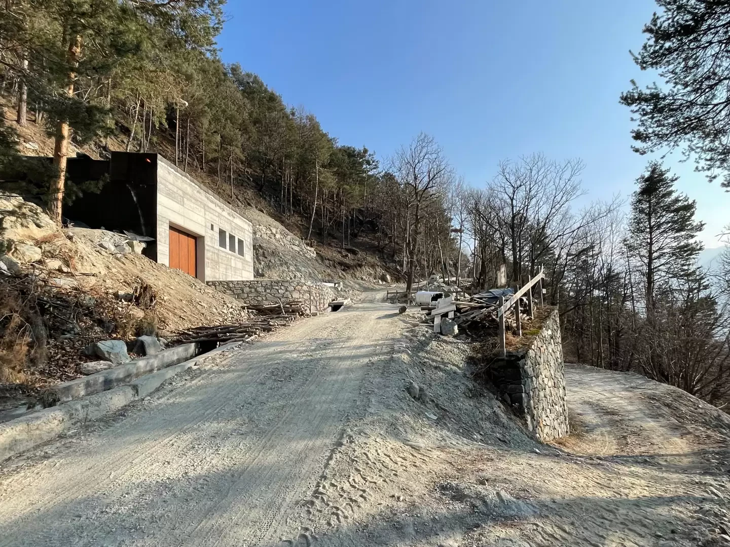
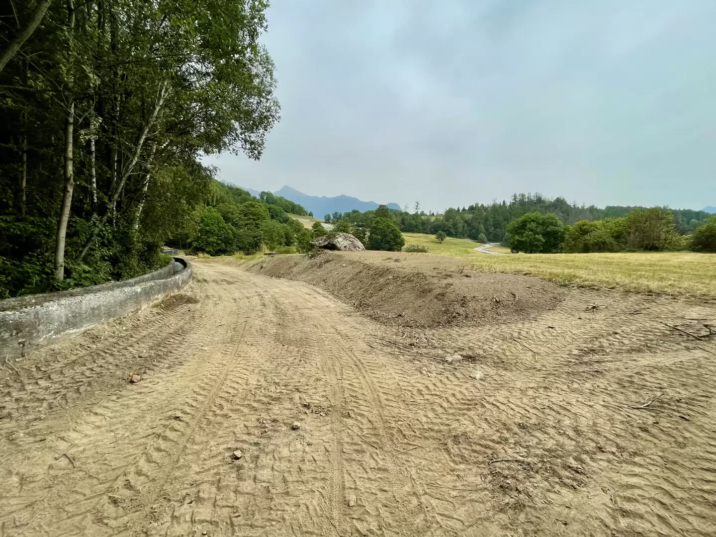
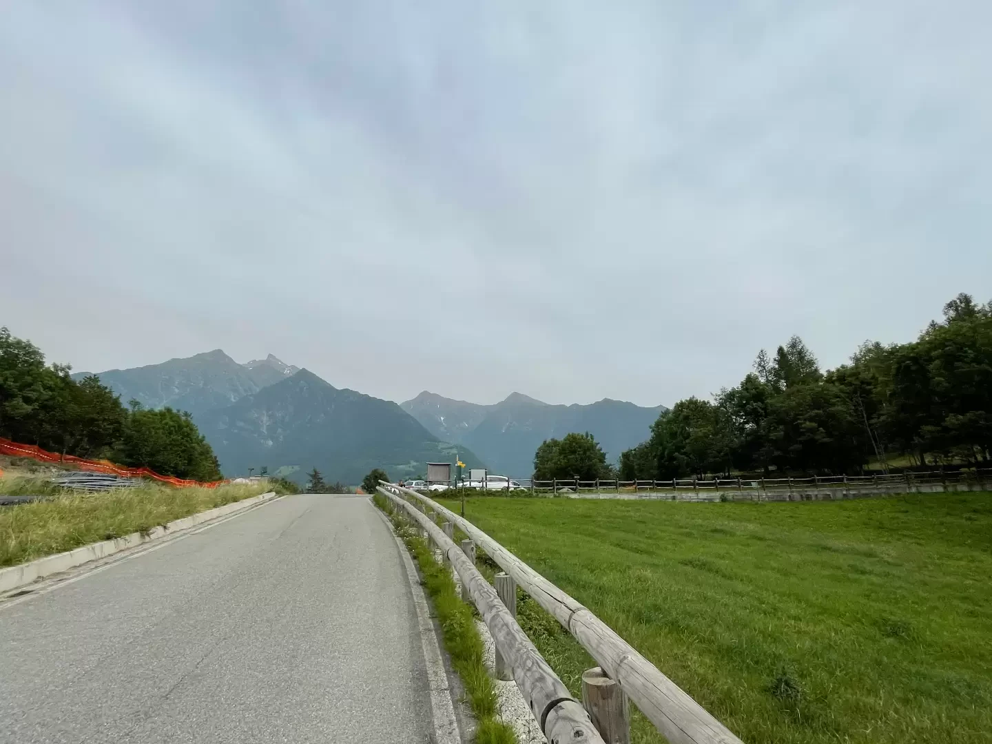
Easy walk on the border between the municipalities of Montjovet and Emarèse. The non-excessive length and the relatively small difference in altitude make the itinerary usable by all, both for pleasant family walks and as running or mountain biking terrain. The route follows a dirt road that runs along the Ru d'Arlaz until it reaches the gentle pastures of the wide Col d'Arlaz saddle. A recent project has started work on the construction of a hydroelectric plant and is affecting both the road and the ru itself. We hope that when the work is completed, the waters of the ru d'Arlaz will start flowing again.
There are no fountains or springs along the route.
Description
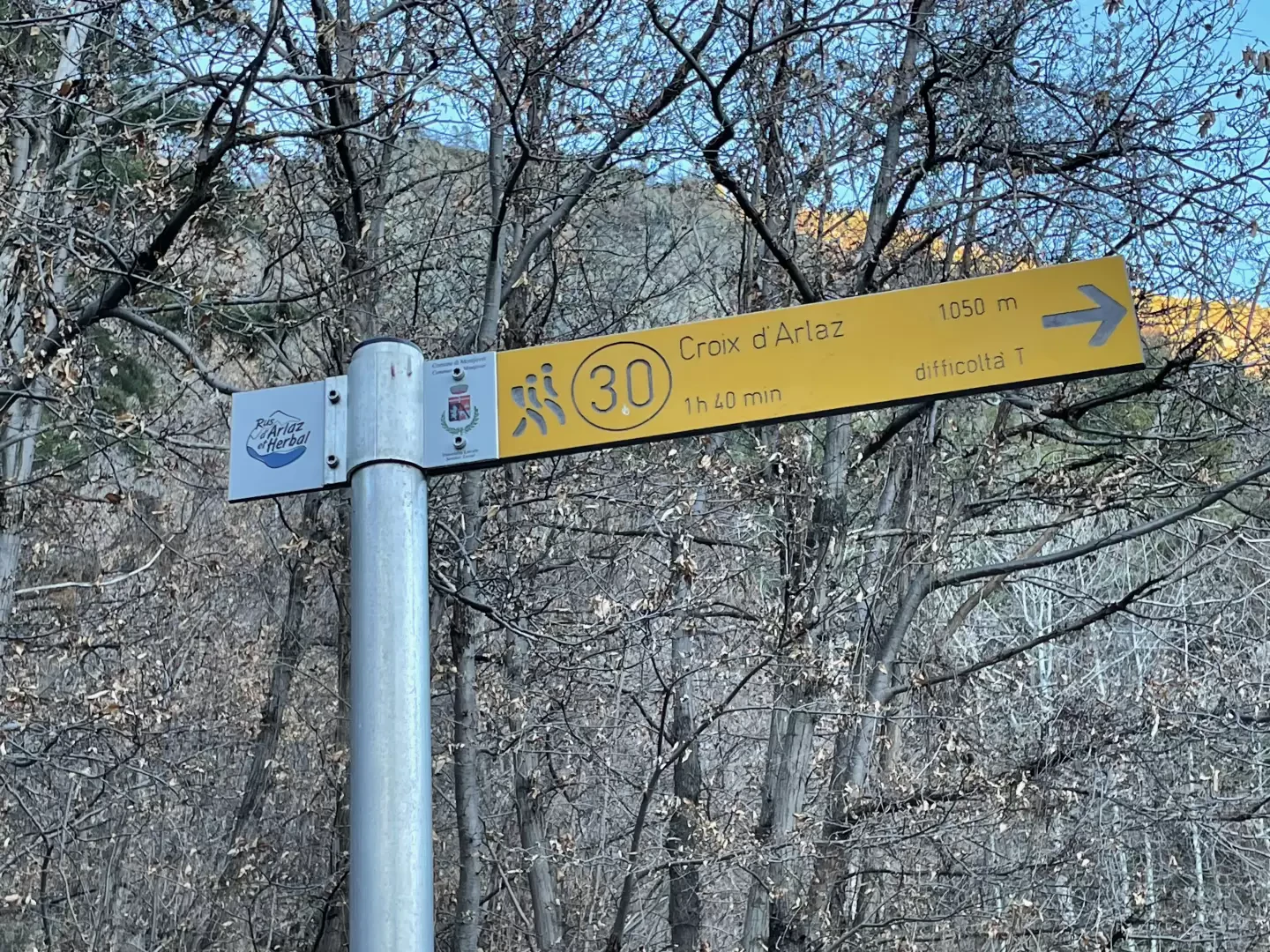
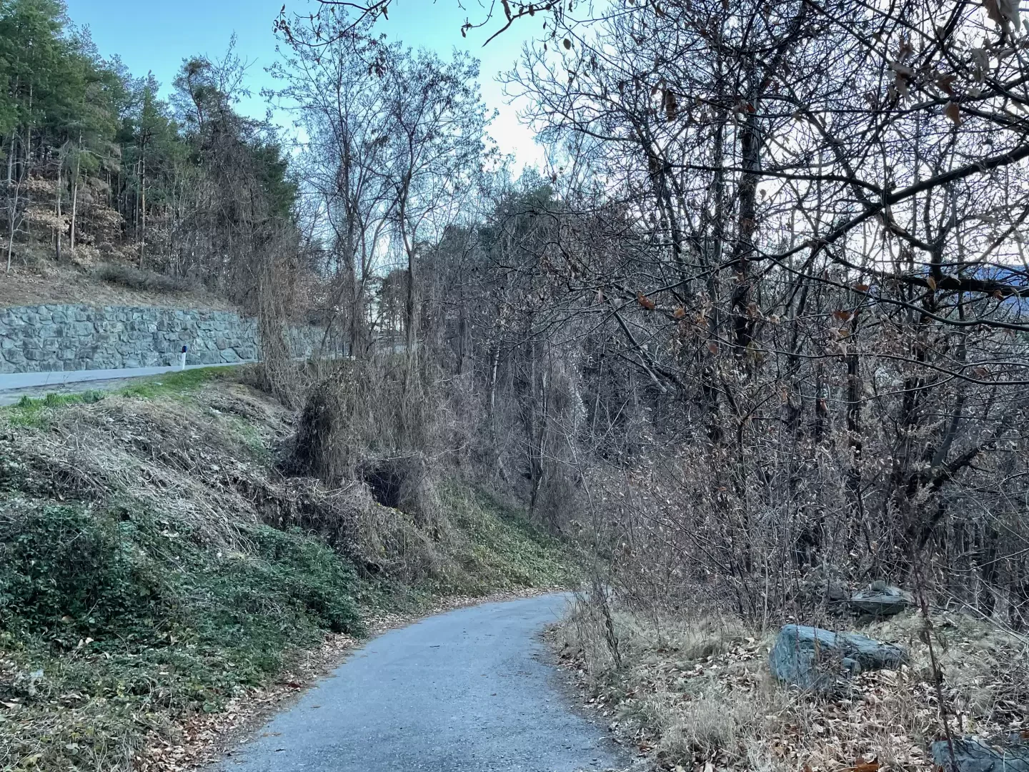
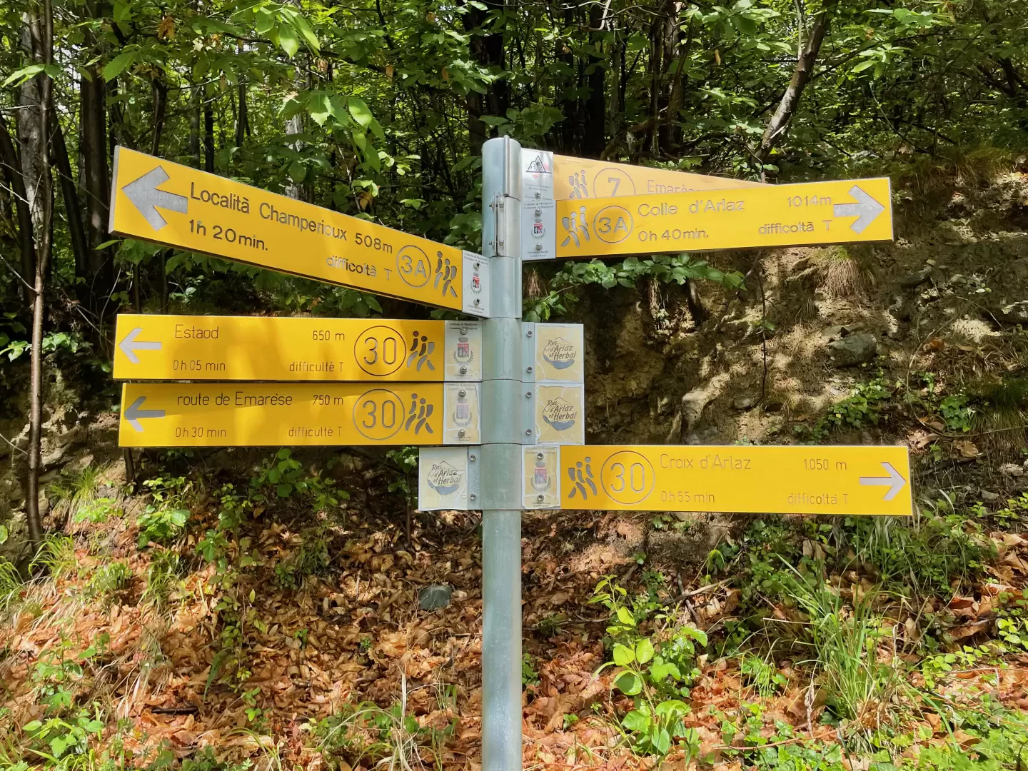
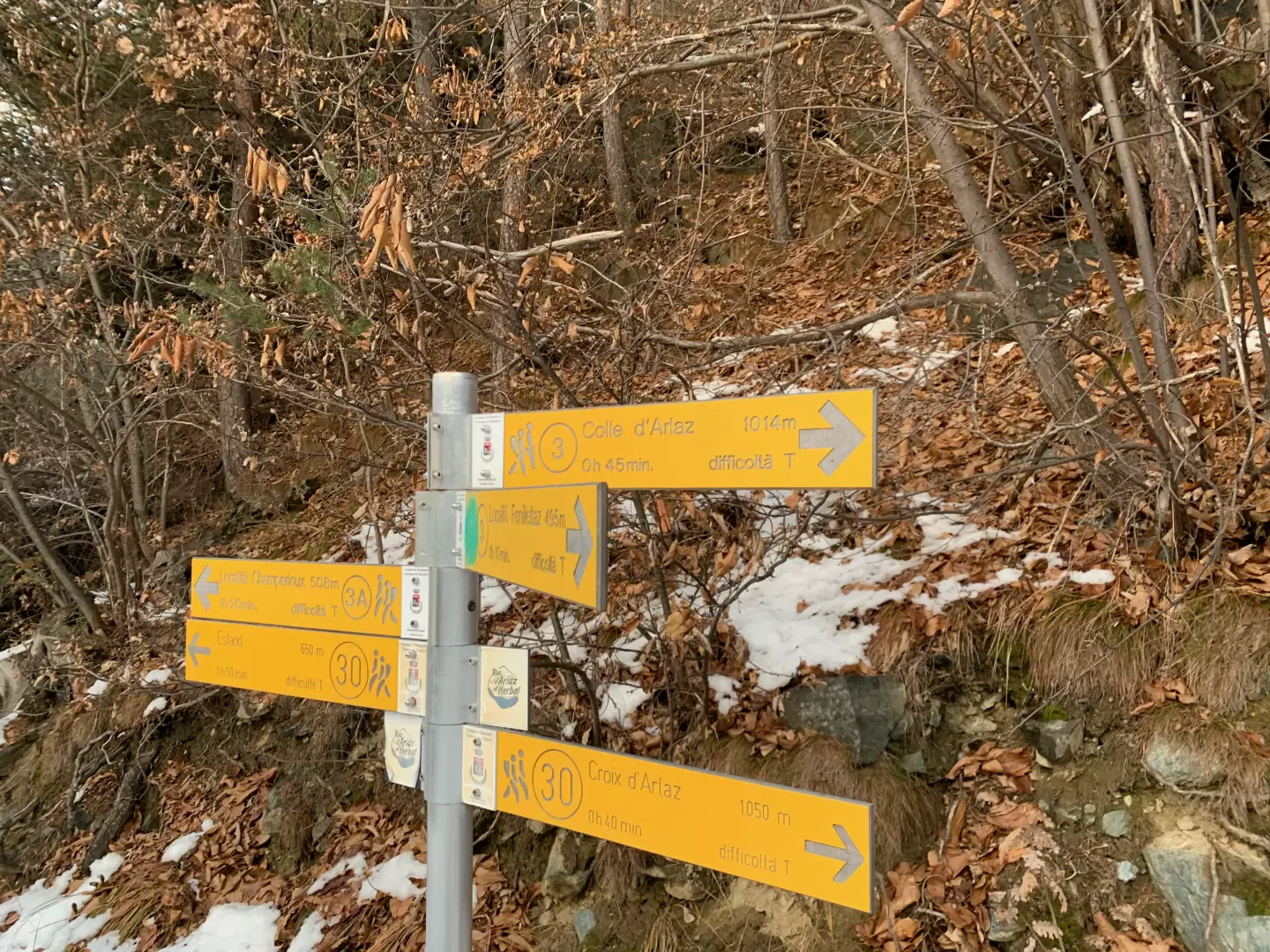
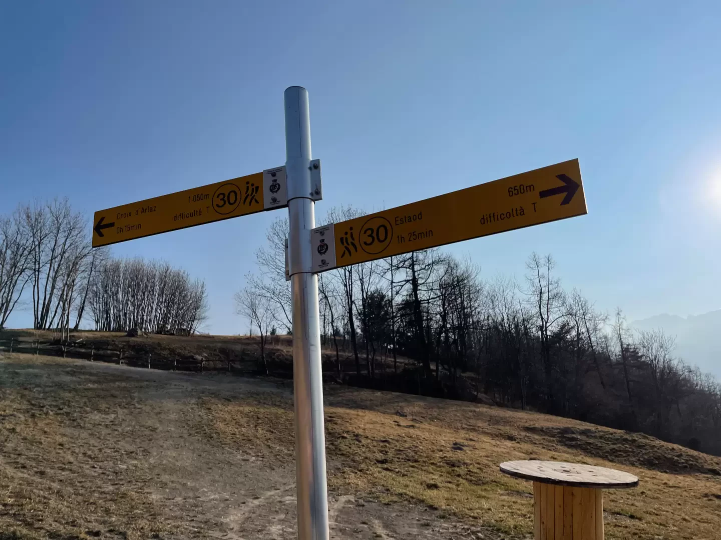
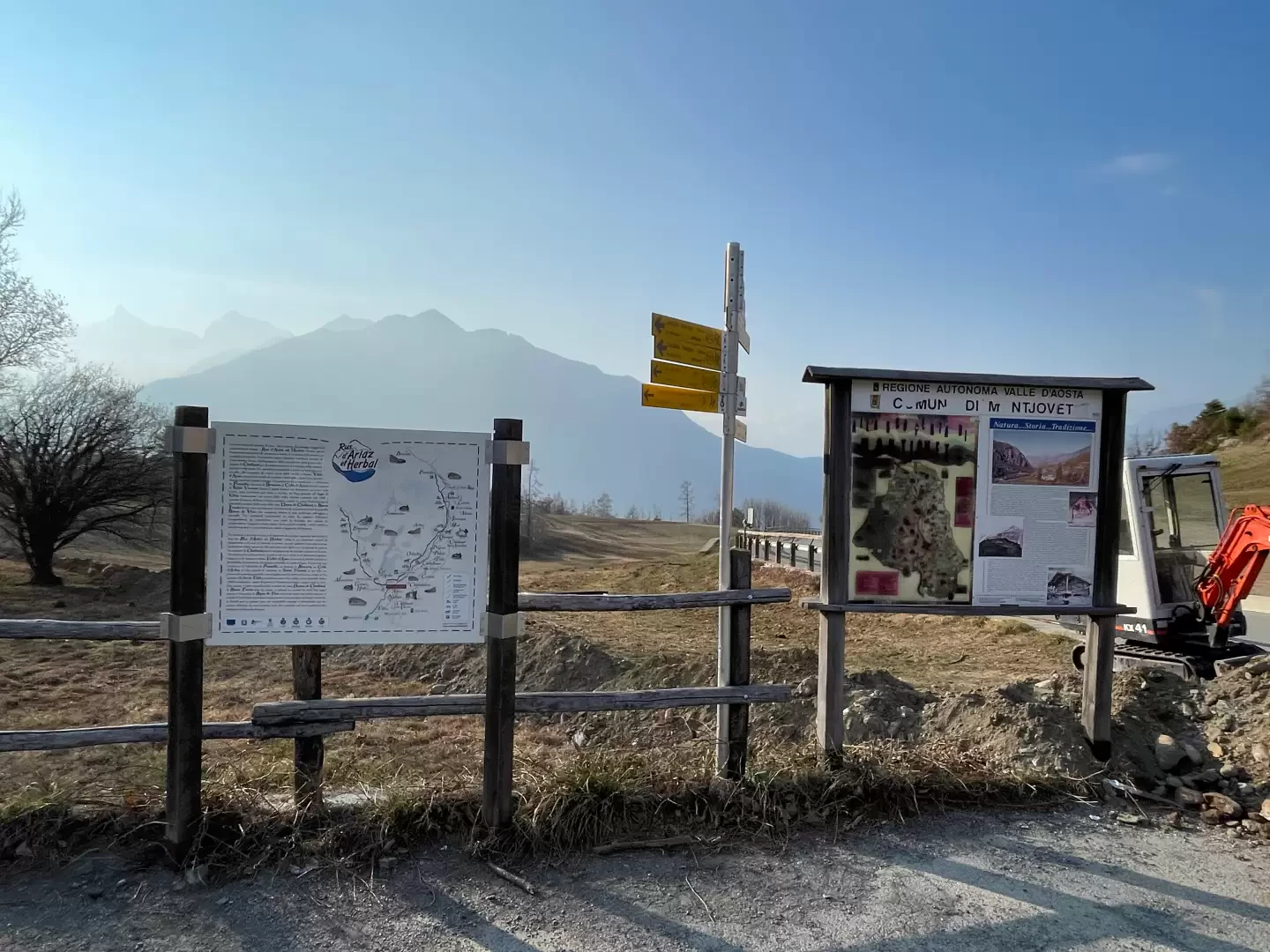
0h00' Leave the car and go to the panel describing the itineraries along the ru d'Arlaz and d'Herbal. Follow the signs on the Croix d'Arlaz signpost and take the little road downhill into the oak forest. After about 200m, the descent ends and the road veers to the left and proceeds on the level following the sinuosity of the slope. After a glimpse of the village of Estaod below, continue along the first uphill section until you reach a fork in the road: go straight on, ignoring the junction with path that leads from Estaod up to Emarèse.
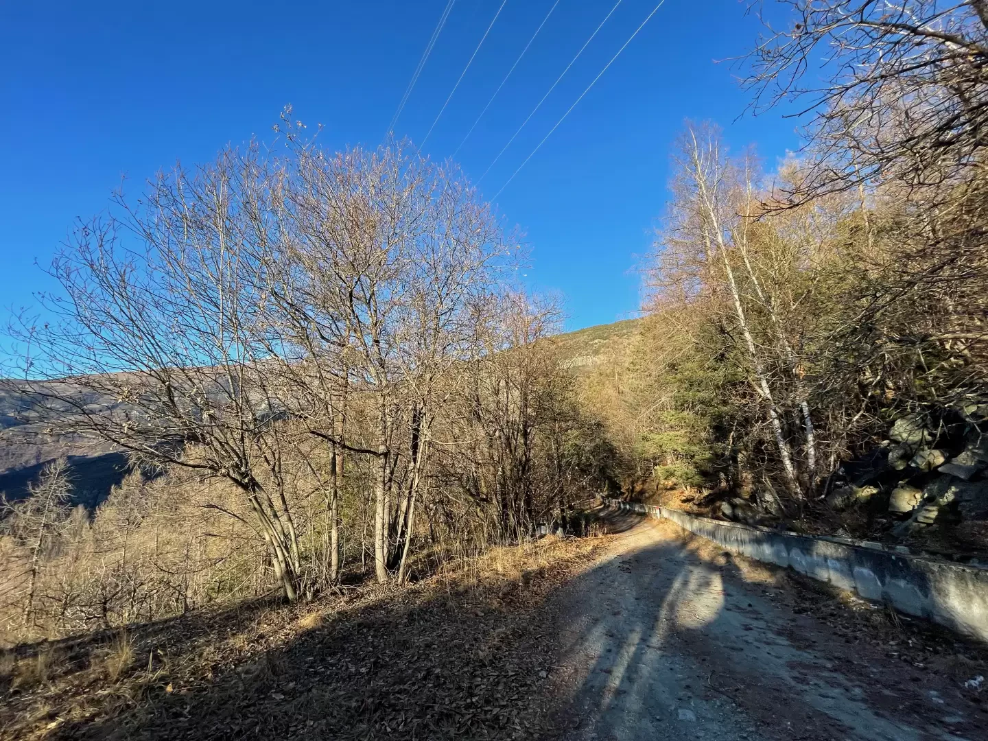
0h20' The little road continues to cut across the slope at a moderate gradient. Without too much effort, the aqueduct building is reached and soon afterwards the view opens up again to the peaks of the lower valley from Mont Lyan to Grimon. After overcoming a second small climb, continue gently until you reach a new crossroads: always proceed along the main route, ignoring the path to the left that goes back to Emaràse.
0h40' Continue for a long stretch always immersed in the forest on the dirt road at times bordered by the ru, which flows openly in its artificial concrete bed. until you reach the junction for Fenillettaz (943m).
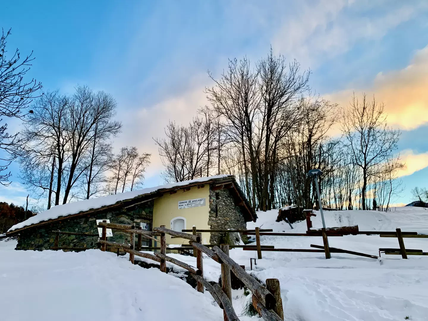
1h15' Continue straight on and a little further on you will come across the recently built hydroelectric plant. Go over a small uphill stretch and then continue on level ground again until you come out of the forest into the pastures below the pass. The little road turns right and climbs the slope until it crosses the municipal road: having crossed the road, a signpost indicates that the destination is now near. Climb up a short paved road before reaching the Moulin d'Arlaz and, a little further on, rejoin the communal road to follow it for a few hundred metres to the Col d'Arlaz (1030m) 1h40' .
The return is along the same route as on the outward journey [1h30'] .
Punti di interesse
- Ru d'Arlaz
- Col d'Arlaz
- Montjovet
- Emarèse
Collections
Galleria fotografica