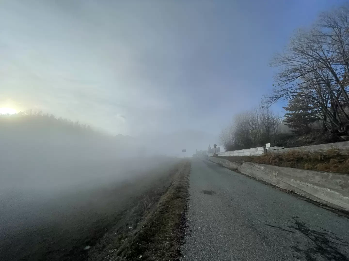
Col d'Arlaz, from Sizan

Edited by:
Massimo Martini
Updated at: 04/05/2025
Access
At the motorway junction of Verrès, enter the roundabout and take the second exit. Proceed in the direction of the town centre and, after 300m, turn left onto the regional road for Val d'Ayas. Follow the regional road for 3.5 kilometres until you meet the signs for Isollaz. Turn right at the hairpin bend and continue for one kilometre until you come to a crossroads: follow the small road to the left towards Sizan and after 300 metres you will come to the large car park 🅿️ in front of the cemetery where you can leave your car free of charge.
[0h10'] - [5,3km]
How to get there with GMaps
How to get there with Apple Maps
The directions given here were verified at the time of the route survey. Before setting off, it is advisable to ensure that no substantial changes have occurred on the route to the starting point. We therefore recommend the use of the satellite navigation apps provided by Google or Apple for up-to-date and detailed directions.
Introduction
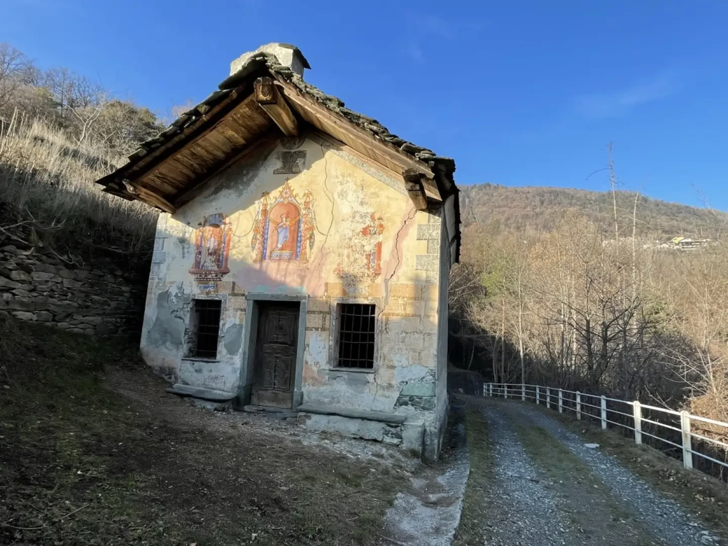
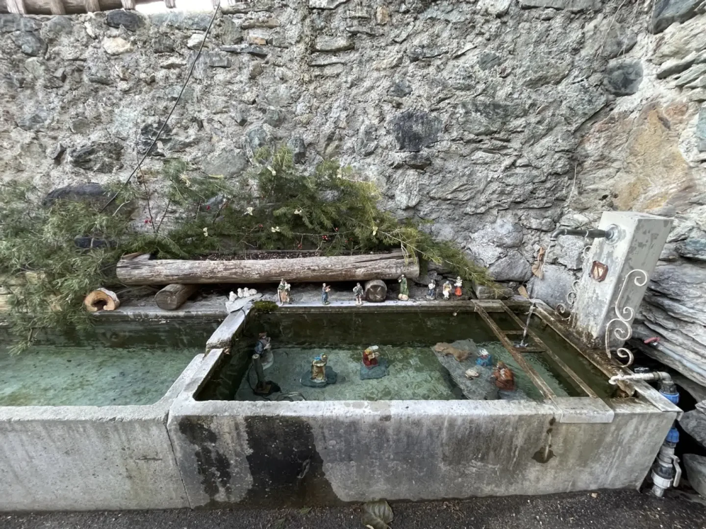
The itinerary described is a charming and accessible route for everyone, ideal to be explored in spring or autumn to better appreciate the colours of the forest. Starting from the quiet hamlet of Sizan, the hike crosses evocative landscapes with lush forests and panoramic views of the valley, until reaching Abaz, a village located at an altitude of 931 metres on the eastern slope of Col d'Arlaz. Along the way, visitors can also discover local history, with a stop at the Chapel of Our Lady of Mercede in Sizan, a structure dating back to 1797, which adds spiritual and architectural value to the hike.
Description
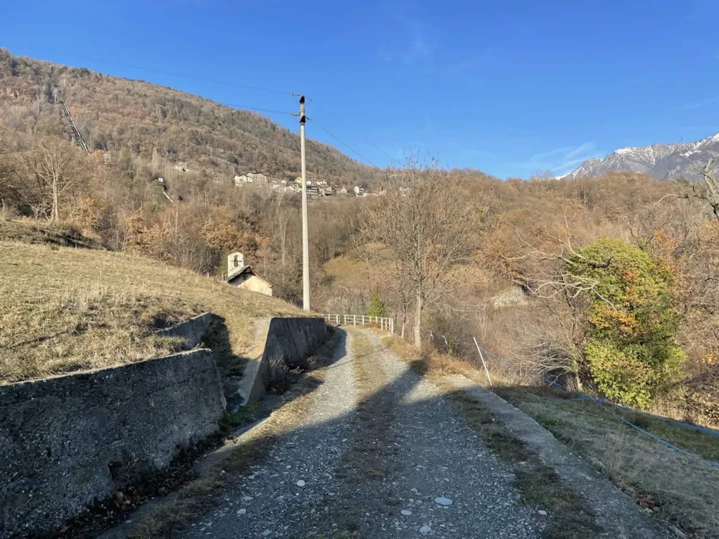
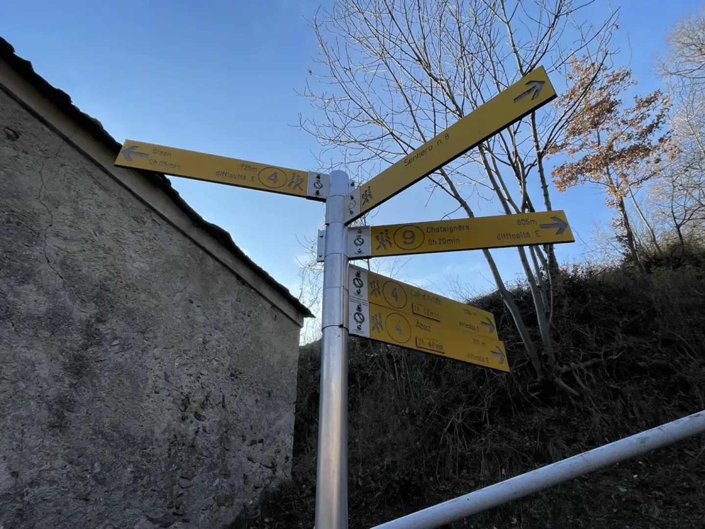
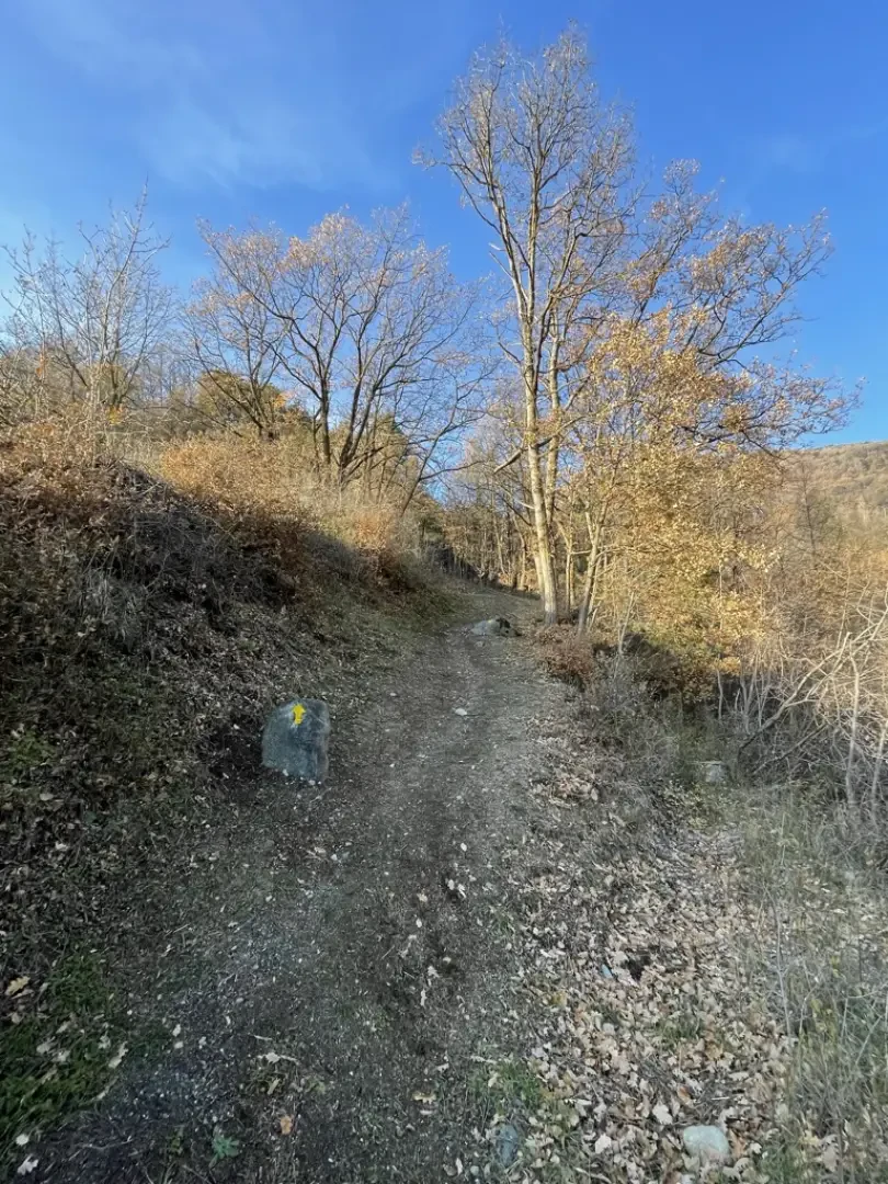
0h00' 0.00km From the village of Sizan, follow the asphalt road that, just beyond the village, becomes a dirt road. Continue until you reach the pretty chapel dedicated to Our Lady of Mercede, where you will find a signpost with directions for path towards Abaz and Col d'Arlaz.
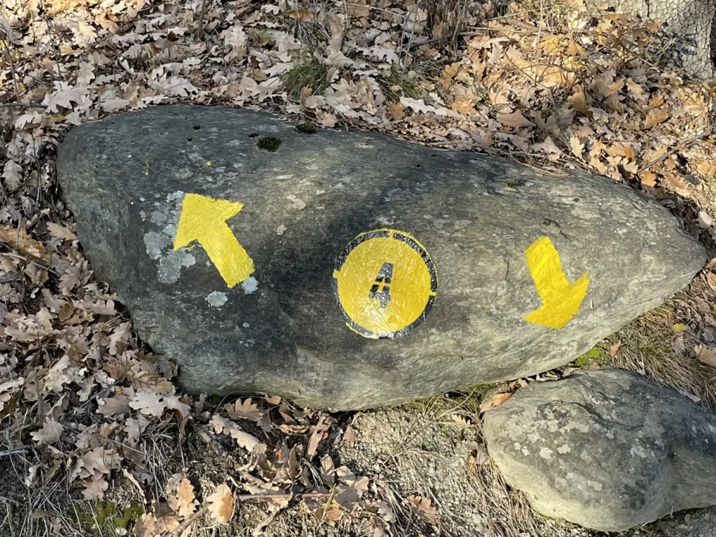
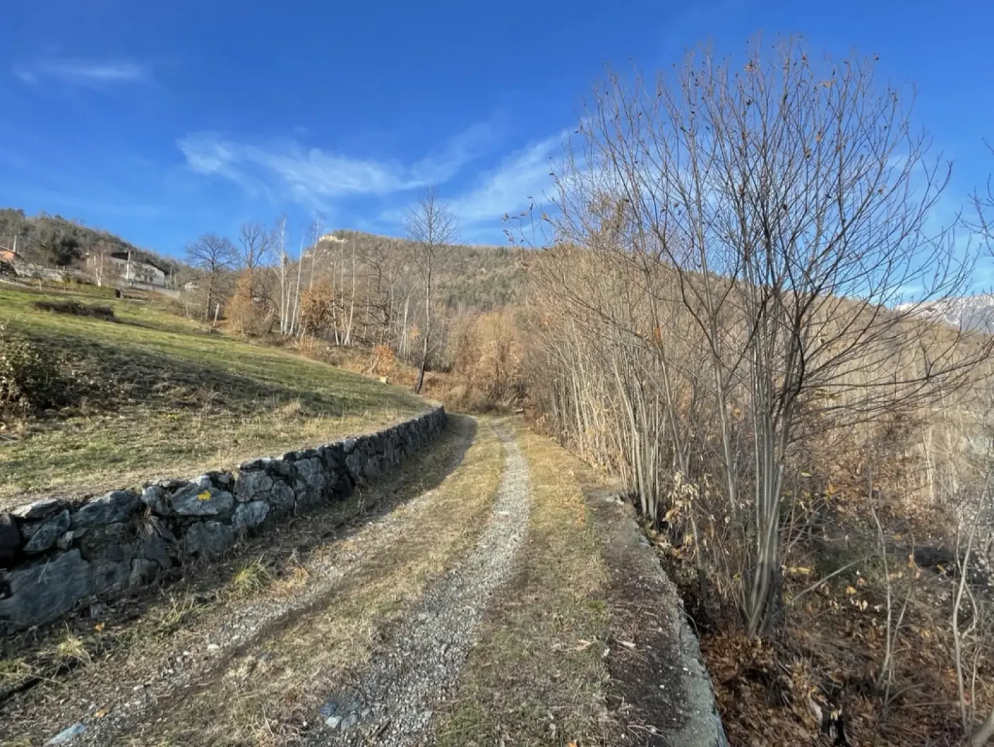
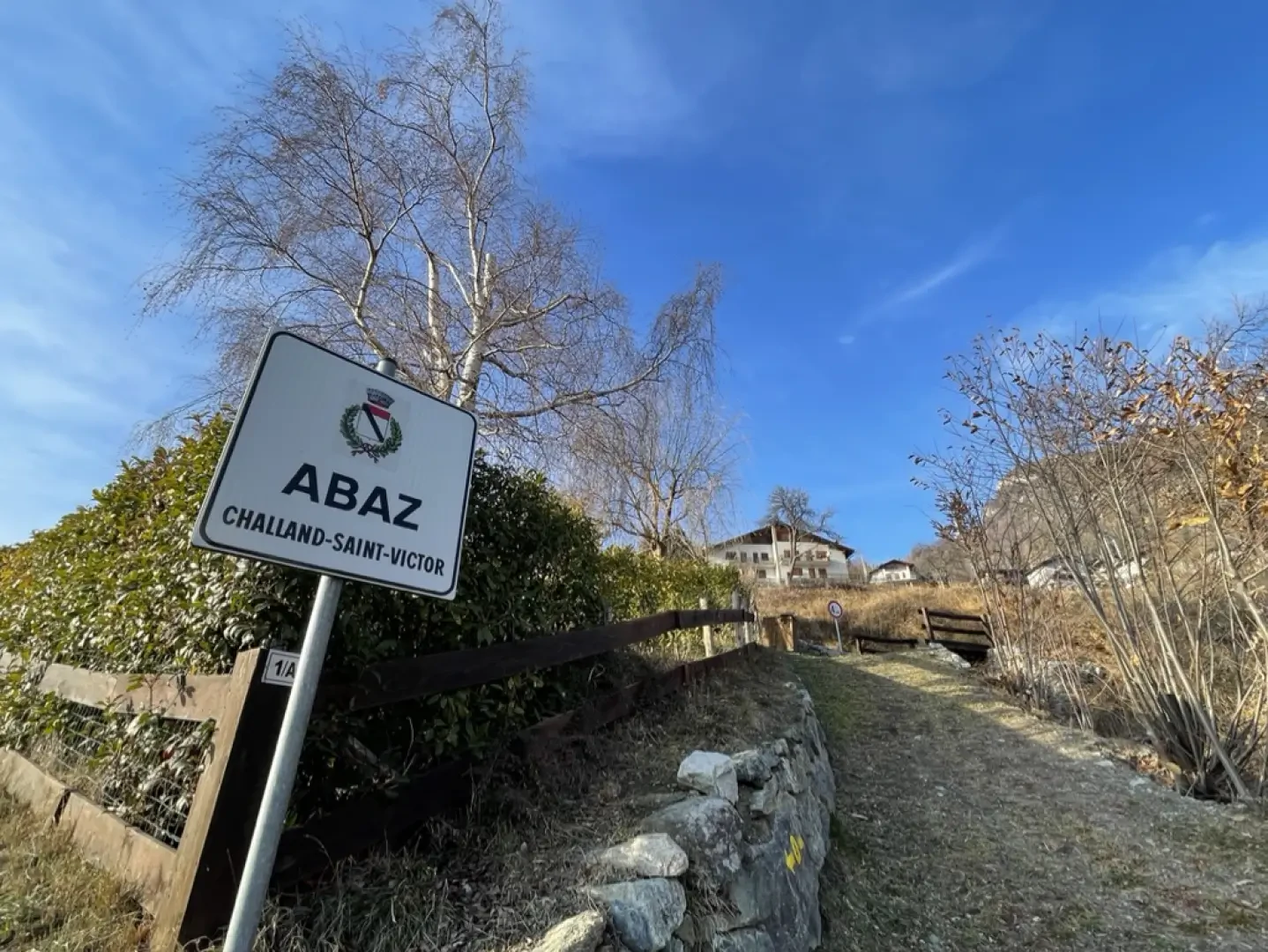
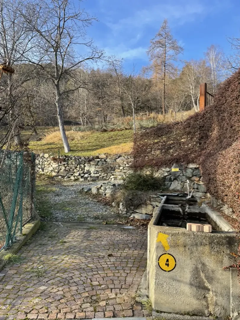
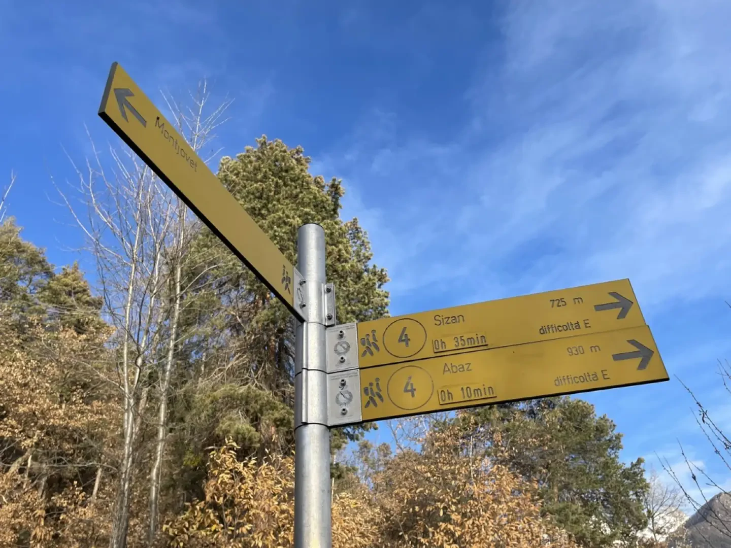
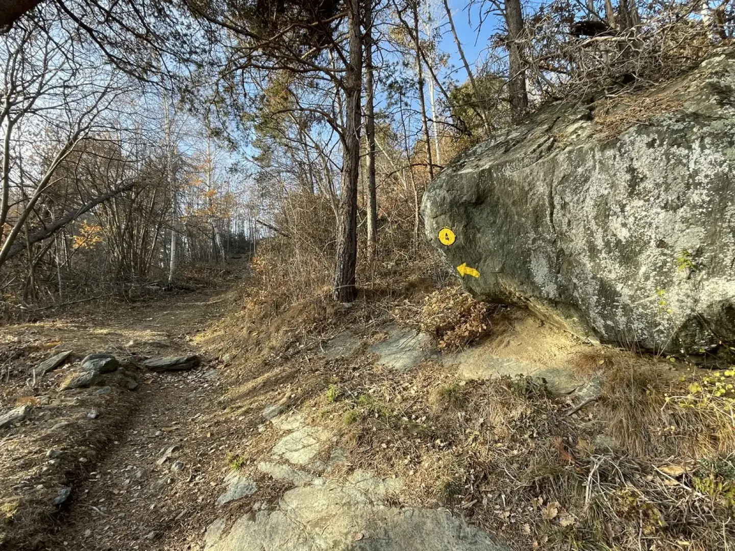
0h05' 0.20km Turn left and take a well-marked path that, after an initial section bordered by a metal railing, enters a forest composed of downy oaks (Quercus pubescens), Scots pine (Pinus sylvestris) and silver fir (Abies alba). With a few twists and turns, the path gains height, leaving the forest and crossing a meadow until it crosses the regional road at the crossroads for Lac de Villa. Cross the road and take the path again following the yellow arrows. You then re-enter the forest, now dominated by birch trees (Betula pendula), and climb up the slope until you come to a small agricultural road. Turn right and follow it for a short distance, then turn left again onto the path, which is not very visible but is marked by an arrow further on. After crossing another agricultural track, follow the signs on the marker post: turn right and follow the track for a short distance, then turn left, climbing a short grassy slope. You then reach the communal road to Col d'Arlaz, where a sign indicates the entrance to the village of Abaz. Carry straight on through the village until you reach a car park with a fountain 💧, which is the centre of the village (931m).
0h40' 1.38km Carry straight on following the balustrade between the houses, then turn left near a second fountain 💧. From here, climb briefly up the mule track, which crosses a last pasture before joining the communal road again. Continue straight ahead and pick up the mule track, initially bordered by a wooden railing, which climbs the mixed forest of Scots pine, birch and downy oaks. The path proceeds in a long diagonal until it rejoins the municipal road at a signpost. Turn left and follow the road for about a hundred metres until reaching Col d'Arlaz (1,031m) 1h00' 1.92km .
The return follows the same route as the outward journey, retracing the path through the forest and meadows back to the starting point in the village of Sizan 0h40' 1.92km .
Point of Interest
Collections
- hikes departing from Sizan - on the map
- hiking in Challand-Saint-Victor - on the map
- hiking in Val d'Ayas - on the map
- hiking the 1000m hills of the Aosta Valley - on the map
- hiking in the hills of the Aosta Valley - on the map
Galleria fotografica


We have been there
Edited by:
Massimo Martini
Tour du Col d'Arlaz
Rando Trail con partenza da casa alla riscoperta di alcuni sentieri frequentati tempo fa. Il primo tratto ho seguito il classico percorso della tratta valdostana della Via Francigena passando tra i villaggi di Montjovet sino a raggiungere Verrès. Da qui prima grande salita di giornata per raggiungere il Mont Conge sormontato dalla Croix de Saint-Gilles. Da qui lungo i sentierini calcati in alcune occasioni dal Castle's Trail si raggiunge Challand-Saint-Victor e Sizan. Da qui risalgo il sentiero passando per il piccolo villaggio di Abaz sino a raggiungere il Col d'Arlaz immerso tra le nubi.
Discesa finale lungo il ru d'Arlaz sino alla regionale per Emarèse e da li rientro a casa.