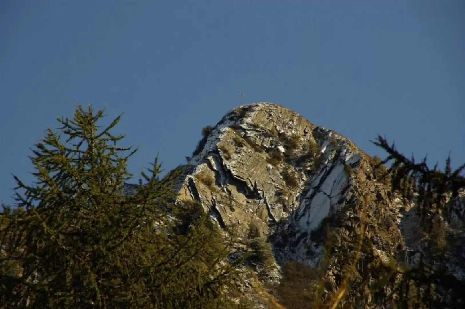
Cima di Dàssola, from Somvalle
Access
From Milan to Morbegno along state roads 36 and 38; continue in the direction of Sondrio until just beyond the viaduct over the Tartano stream, where you turn right towards Val Tartano. Just past the village of Campo, immediately after the cemetery, park in the adjacent Somvalle district.
Introduction
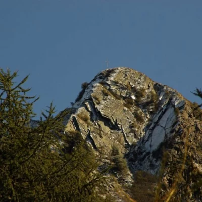
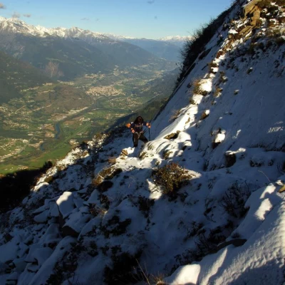
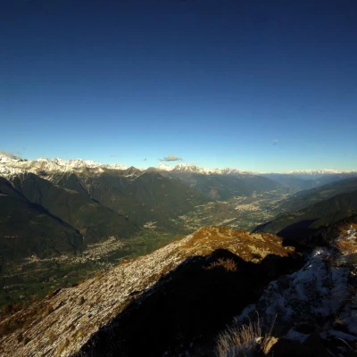
A virtually unknown first-rate panoramic peak: even the cartography and the few local hikers confuse its name (Cima Zocca) with that of an adjoining peak. The route is devoid of technical difficulties (only, beware of the last stretch, which is a little rocky in case of snow), but almost totally lacking in signposts: along a wooded stretch between the casera and the summit - neither intuitable nor evident - a dozen or so faded markers barely allow you to get your bearings. From the summit cross, on a clear day, you can see a stretch of the Alps from the Matterhorn to Adamello.
Description
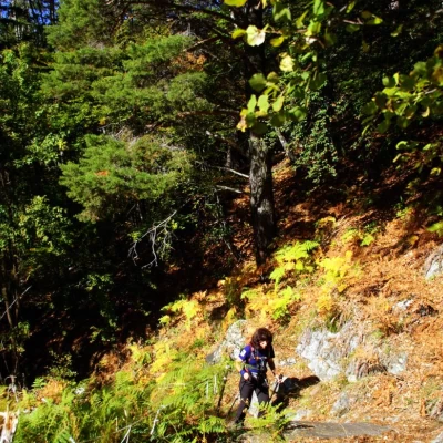
From the Somvalle car park 1062m, continue across the little central square and then climb immediately to the left (various possibilities) to reach the steep, stepped mule track already visible beyond the hamlet. A long ascending traverse through the broadleaf forest is reached immediately after two aqueduct toll booths; having reached a ridge (northern edge of the Val Fulfulèra), climb up it with a series of short, steep and stony hairpin bends to its summit. Here, from a warm and sunny slope, you suddenly turn to the ENE and - semi-planing - cross a damp and dark fir forest for a long time: after crossing a landslide gully, you reach a secondary swampy valley open at the base of Alpe Dàssola at about 1700m. On the other side of the basin, a few dozen metres in the forest lead to the lowest point of the vast Dàssola clearing - from 1737m to 1930m. From the first isolated hut, climb up the abandoned pasture to the casera huts (a small group of rustic huts with a votive chapel) and then, following vague tracks in the grass, to the highest hut. The tracks continue - almost invisible - on the level: as soon as you enter the forest again, you must refer to a drystone wall, where you can see a first dark red paint mark. The signs are visible on the tree trunks and guide the ascent of a small valley covered with rhododendrons; at its end, a new clearing (a hut with an adjacent fulminate larch trunk) precedes the reaching of a thin ridge on the border with the middle Valtellina (beautiful panoramic shots): from here, a path - also with stretches of artificial adaptation - leads to a hollow below the vertical of the summit rocks. We continue - given the impassable slope - making a wide turn to the left clockwise over the stony bumps at the edge of the hollow until we reach a large cairn of stones. From this, go up and cross an unstable scree slope in the direction of a short ledge at the base of a slab of rock: a few steps and you reach the thin, grassy ridge that leads to the cross of the Cima di Dàssola 2166m.
Return along the outward route.
