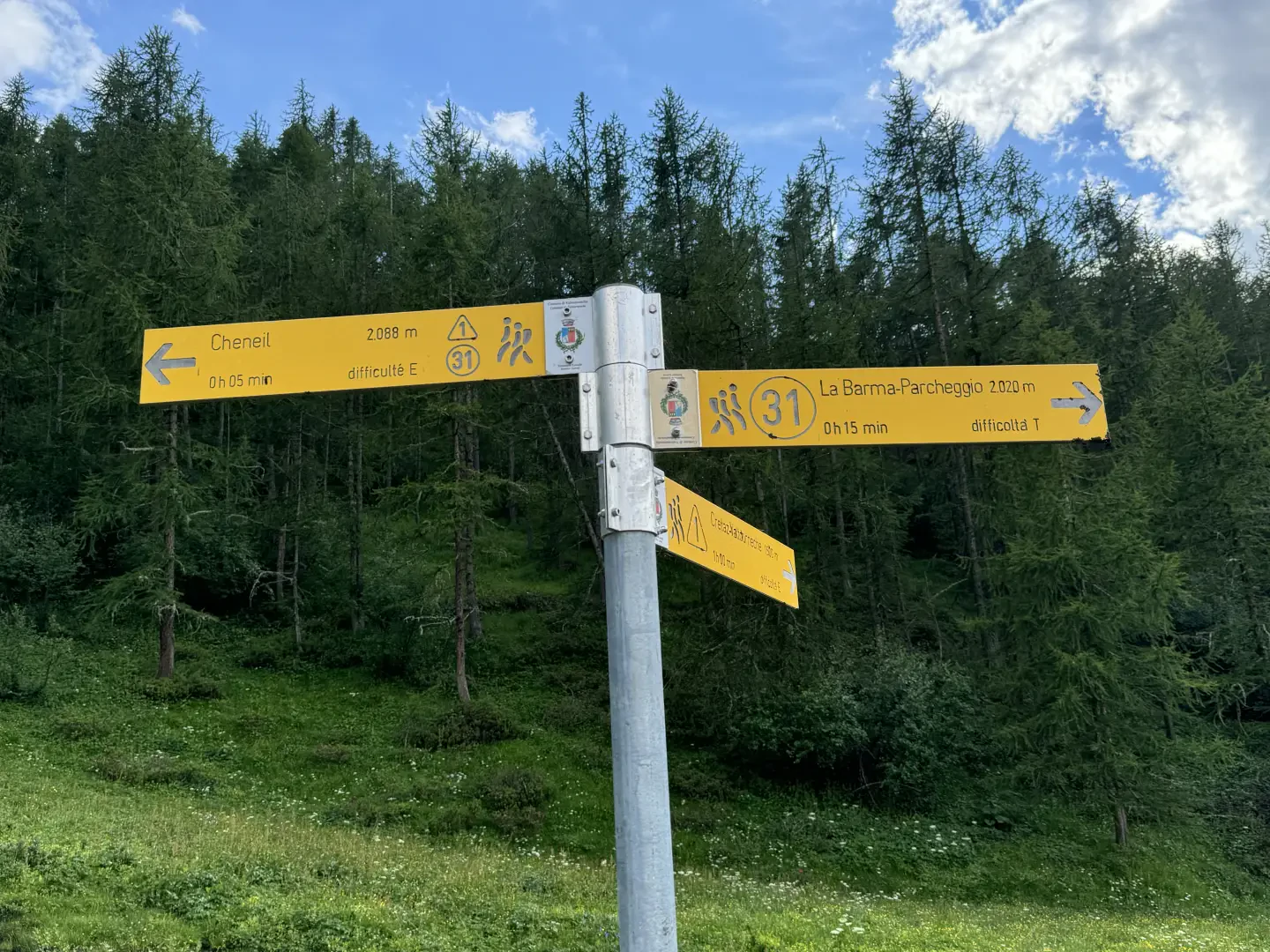
Cheneil, ring from La Barma car park

Edited by:
Massimo Martini
Updated at: 18/11/2025
Access
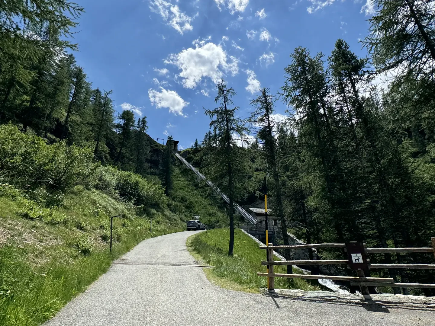
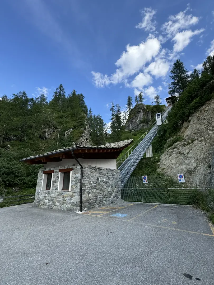
From the motorway exit at Châtillon, turn left along Via E. Chanoux. Go past the roundabout, third exit, and continue through the old town centre for about 600m and then turn right into Via Menabrea, which you should follow until you reach the roundabout with the "Cervino" on the inside. Follow the regional road for 18.7km as far as Valtournenche where, towards the end of the town centre at Hotel des Neiges, turn right and go up the municipal road to Cheneil. Follow the road for 6.5km to the 🅿️ car park in Barmaz, the starting point of the hike. The car park is ample, but given the busy nature of the area, it is advisable, on busy days, to arrive early enough to avoid having to leave your car further down the uphill road. Just beyond the start is a tourist lift, always in operation, which saves 50m of ascent.
[0h12'] - [8.7km]
How to get there with GMaps
How to get there with Apple Maps
These directions are based on direct verification carried out at the time of surveying the route so the information should be checked before embarking on the hike. We recommend using a GPS navigator or map app on your smartphone to get up-to-date and detailed directions.
Introduction
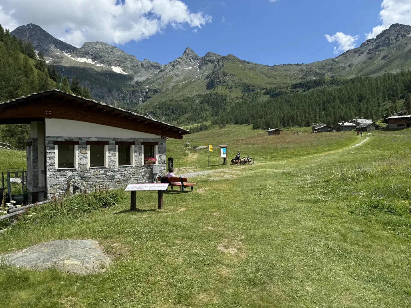
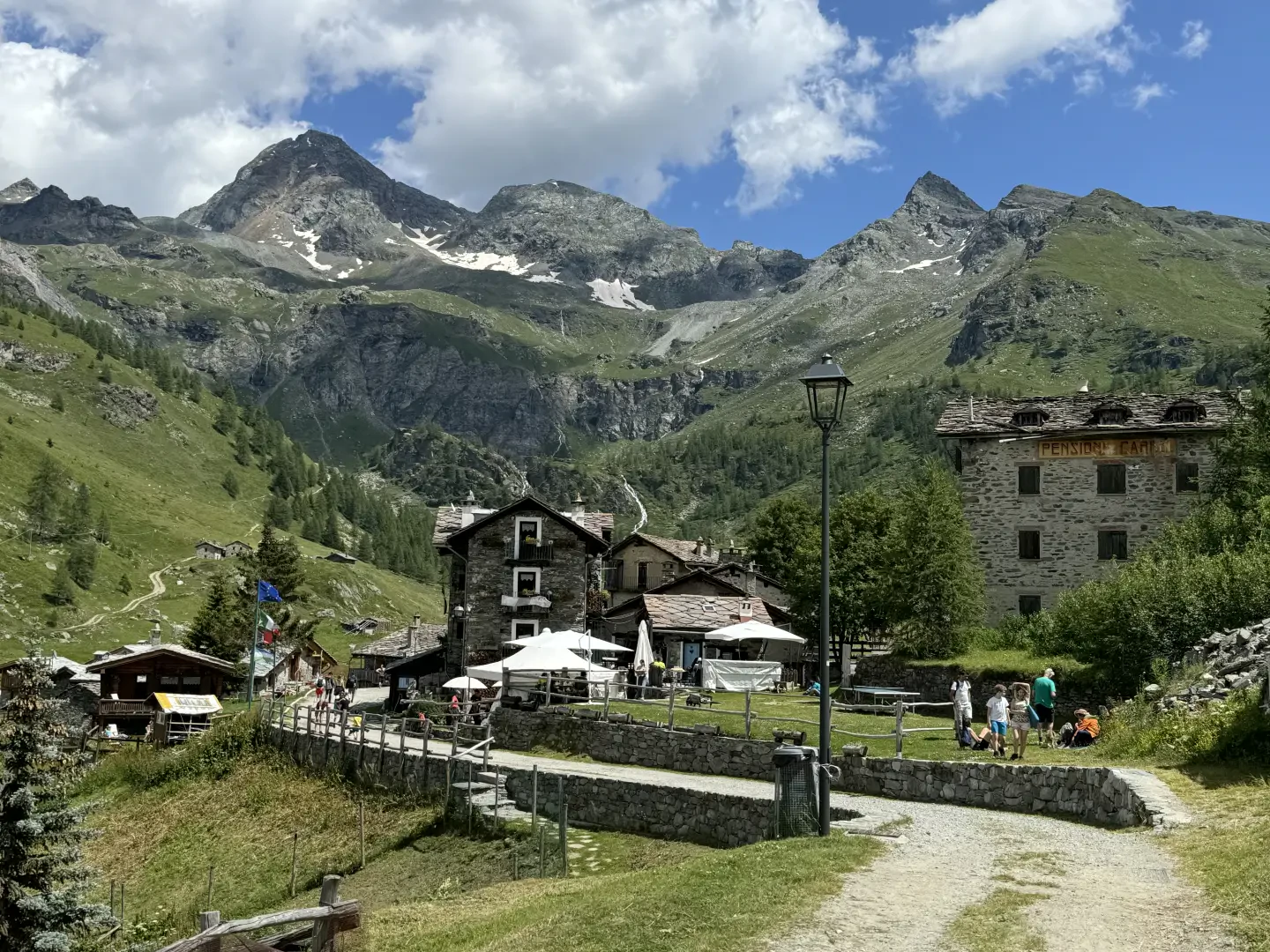
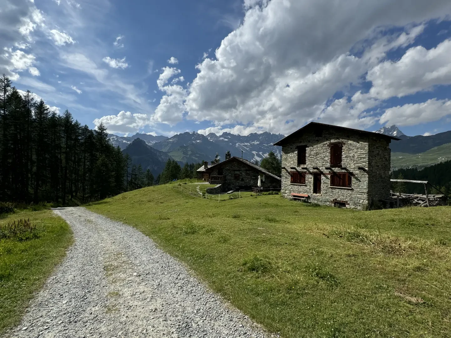
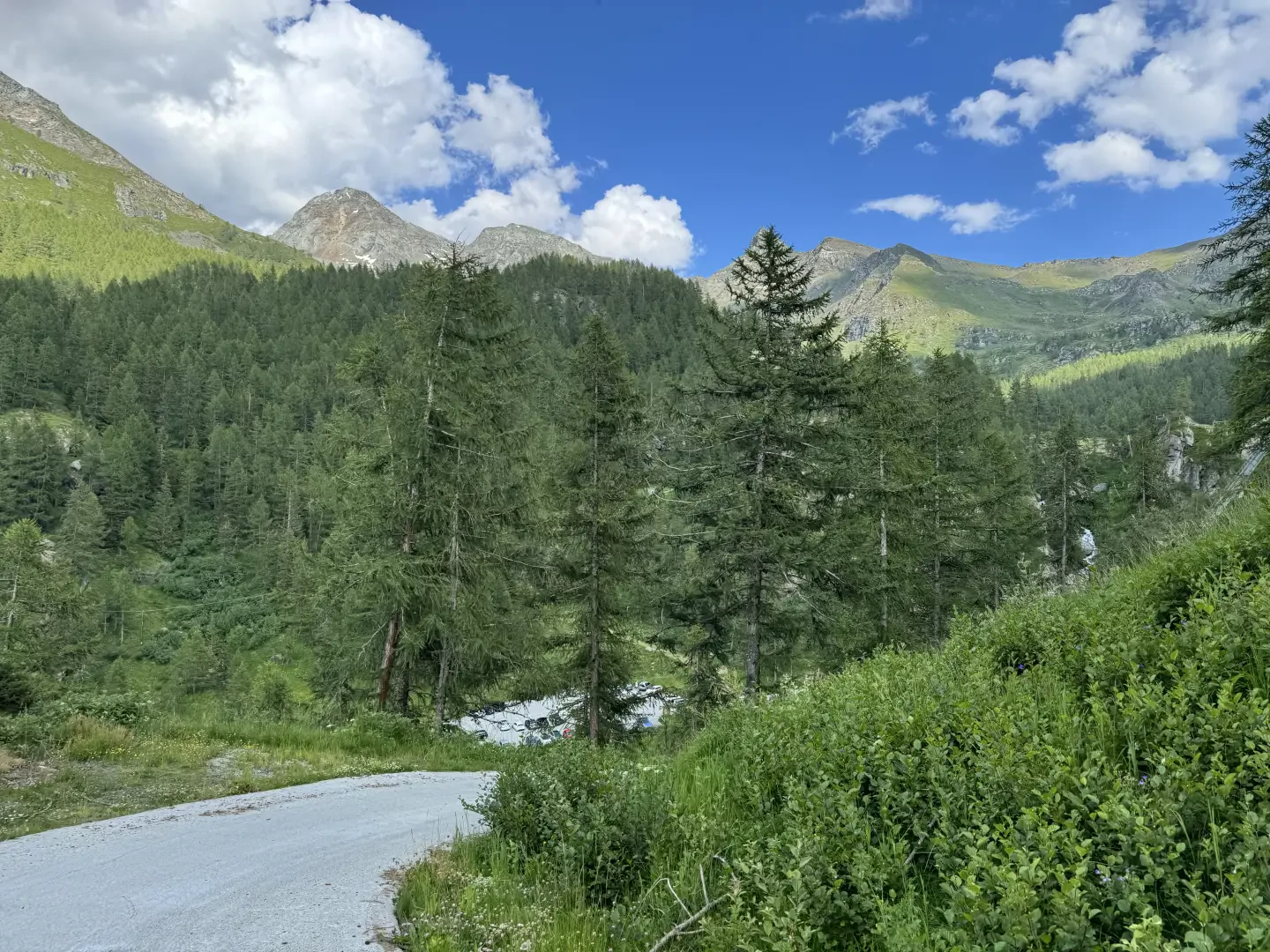
A short walk leading to the pleasant village of Cheneil. The itinerary proposed here, which is partially circular, allows you to observe the whole of the splendid basin of the same name, positioned within the mountainous frame from Becca d'Aran to Punta Falinère.
Description
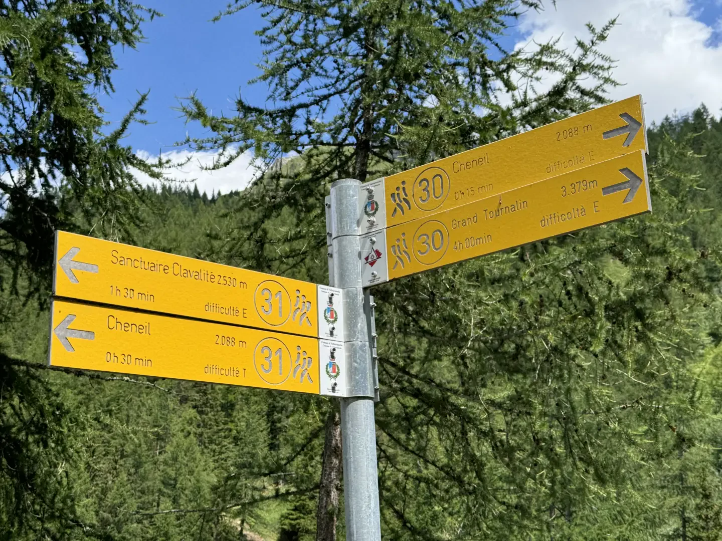
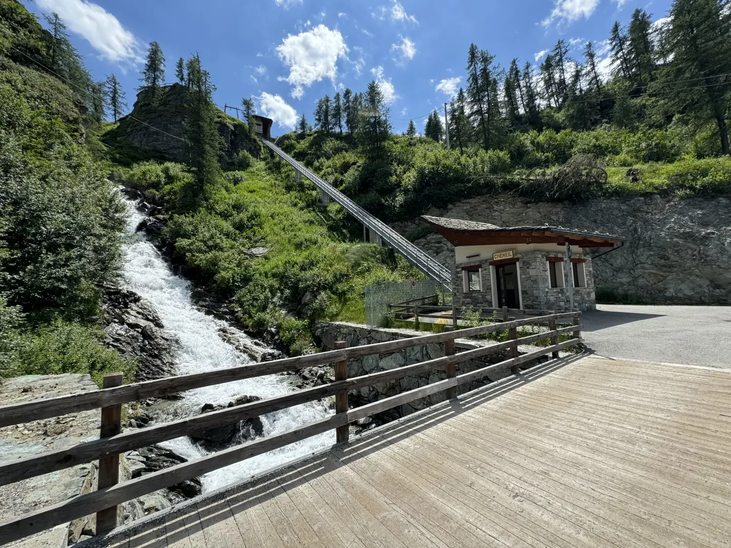
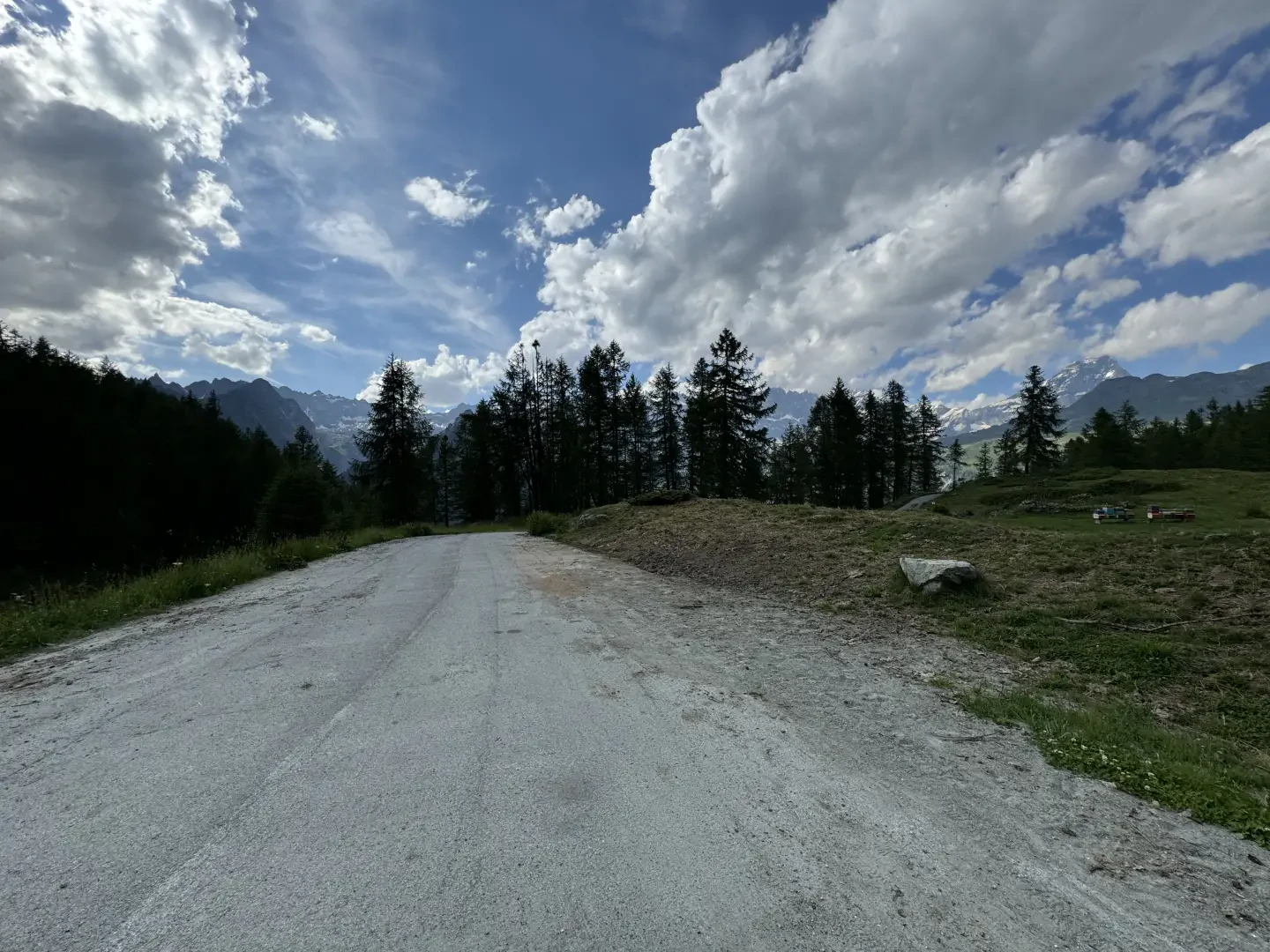
0h00' 0.00km Go up to the marker post and take the service track which, in a few minutes, after crossing the torrent de Cheneil, leads to the inclined lift (open 24/24) and to the barrier that limits access to the village to authorised persons only. Go around the barrier and, shortly afterwards, you will come to a marker post.
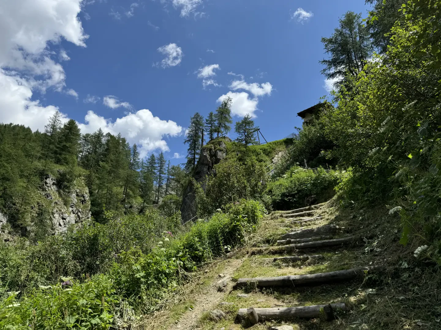
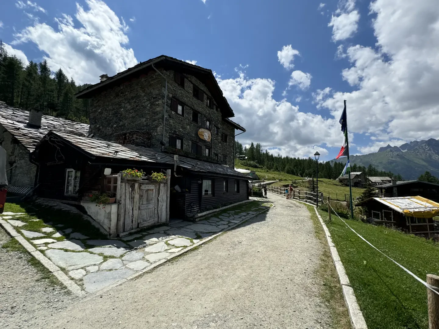
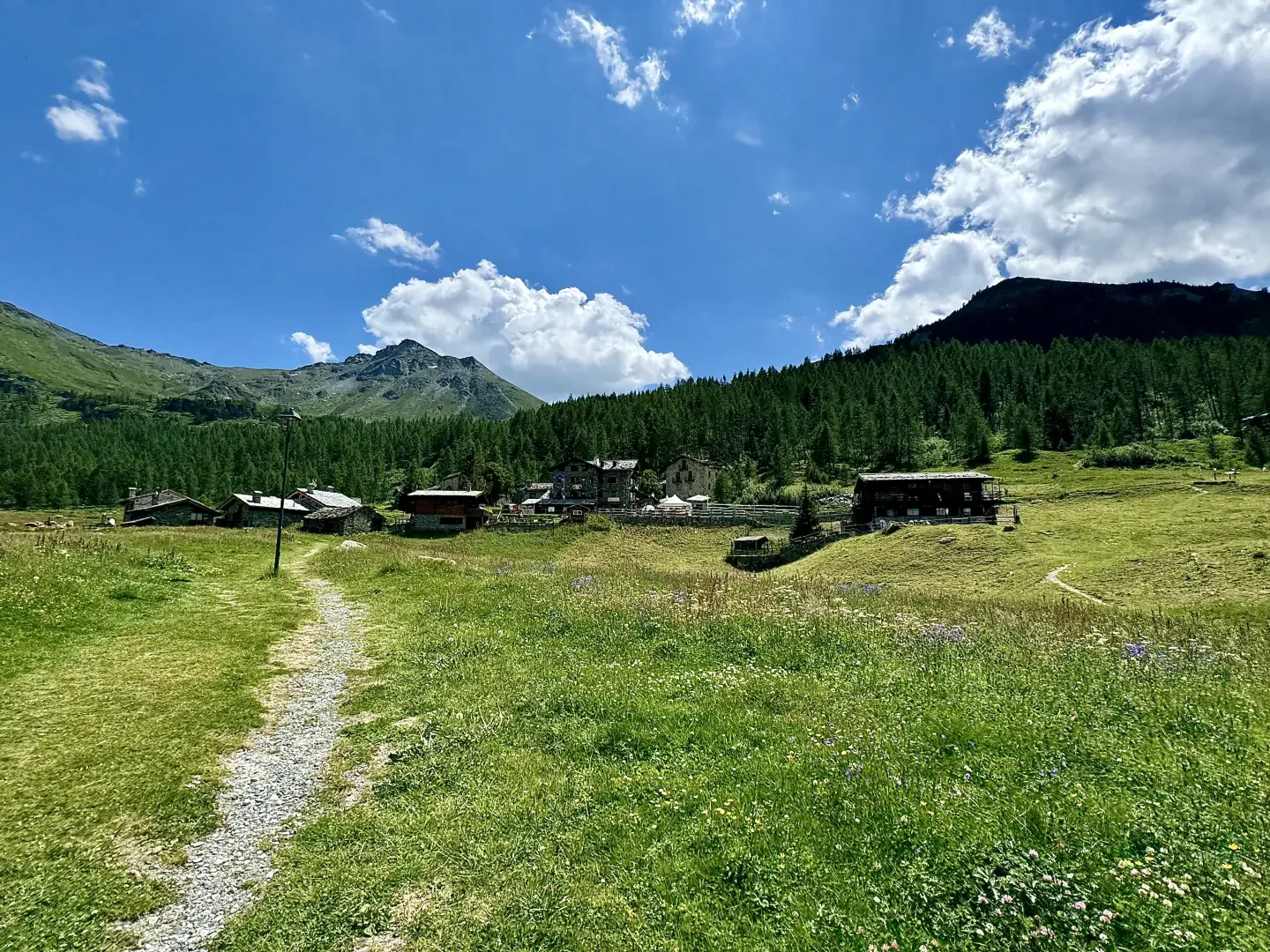
0h05' 0.13km Turn left onto the comfortable mule track that allows you to quickly ascend the rocky step separating the starting point from the arrival point of the inclined lift. After a few short turns, the path, always accompanied by a wooden railing, reaches the bucolic Cheneil basin with its splendid frame of peaks. Continue straight ahead on the path, following the signposts, and in a few minutes, reach the first houses of the village of Cheneil (2105m, 💧).
0h15' 0.50km Turn right onto the small road that crosses the village, leaving the historic Hotel Panorama al Bich on the left, before reaching a new marker post.
0h17' 0.60km Continue straight ahead, ignoring the paths on the left, and begin the descent along the service track. Leave the last of the houses on the right and cross a stretch of woodland to emerge from it near a new signpost.
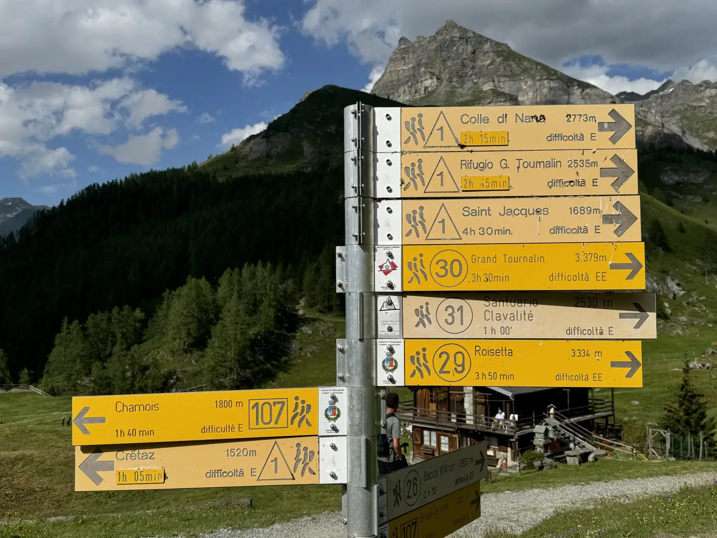
0h20' 0.90km Neglect the Alta Via track to the left and continue on the service track that veers to the right and, after a short up and downhill stretch, leads back onto the first part of the route, leaving the inclined lift to the right before reaching the starting point 0h30' 1.54km .
Points of interest
Galleria fotografica