Chardoney, from Ruz

Edited by:
Benedetto Lorusso
Updated at: 25/10/2025
Introduction
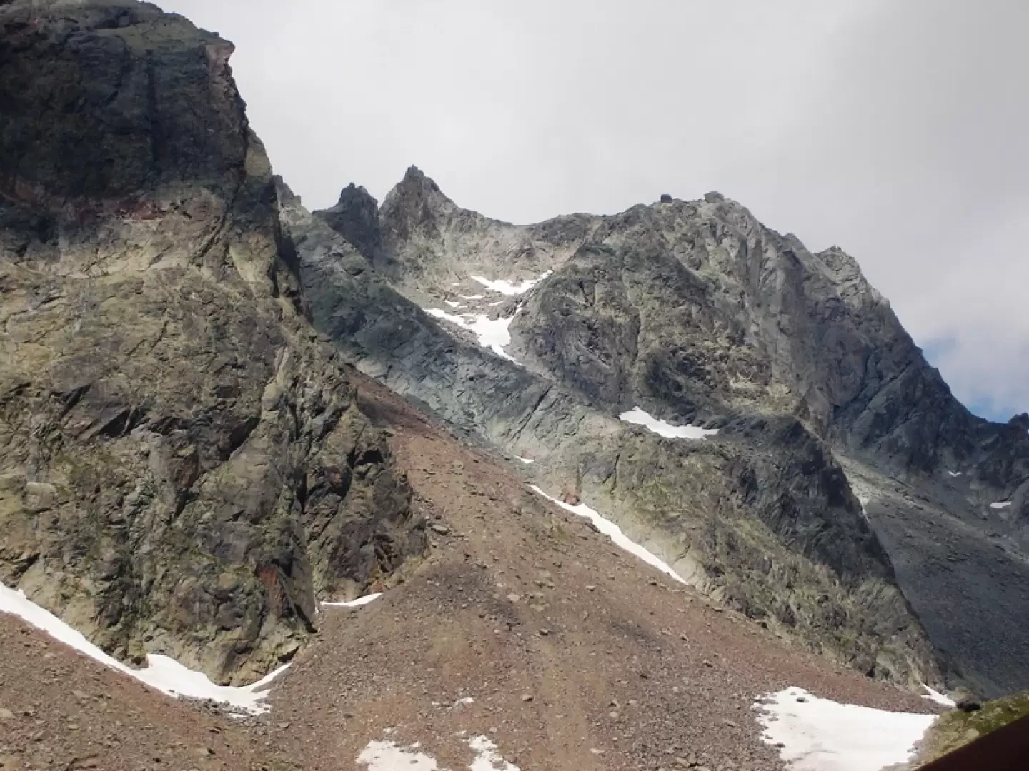
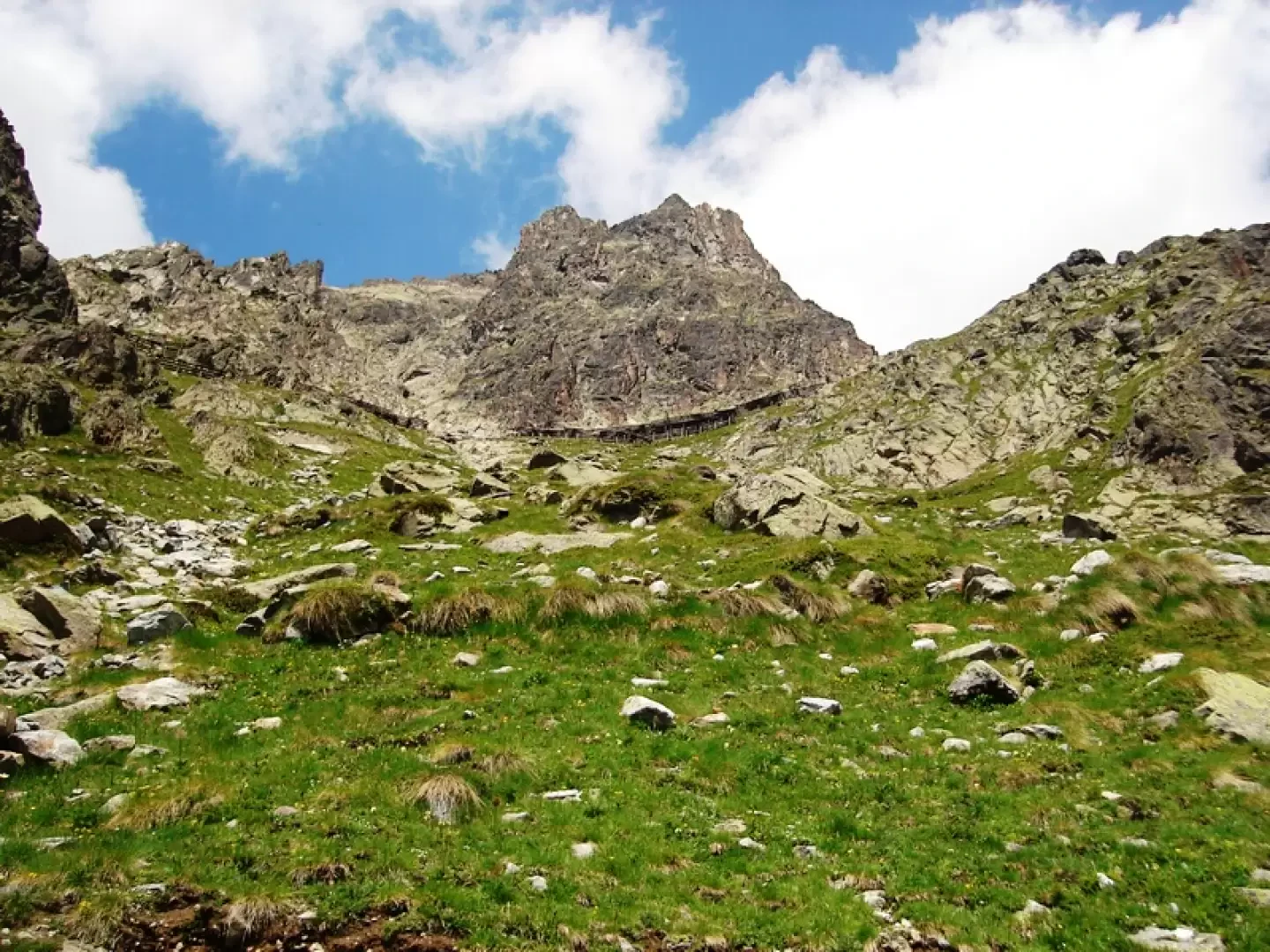
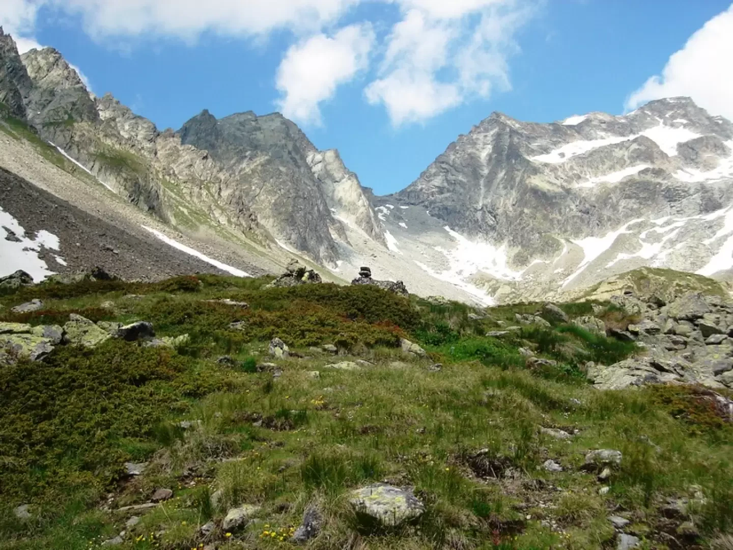
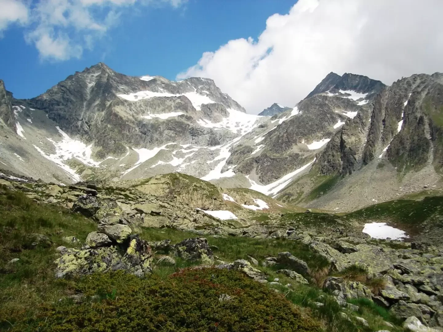
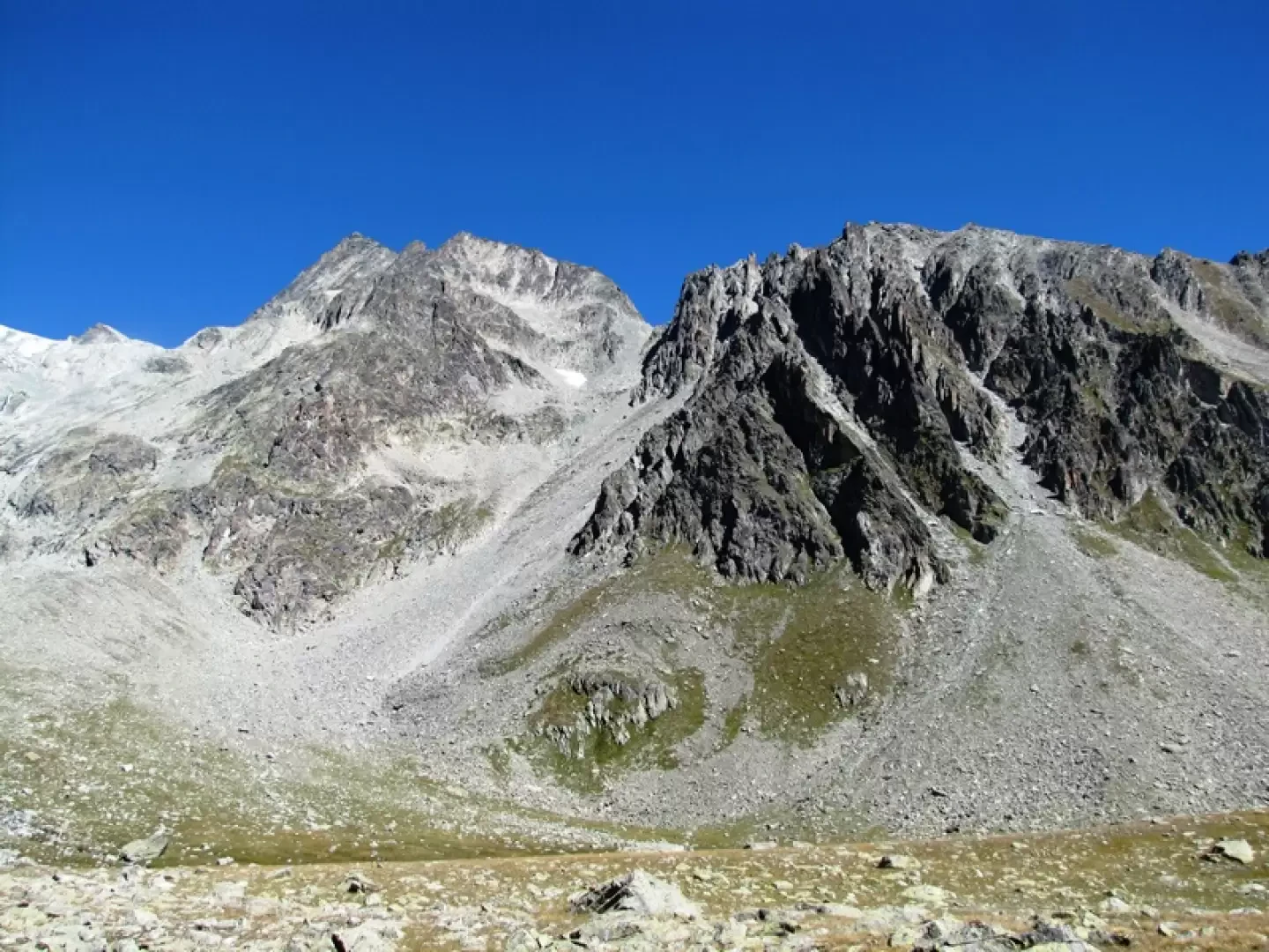
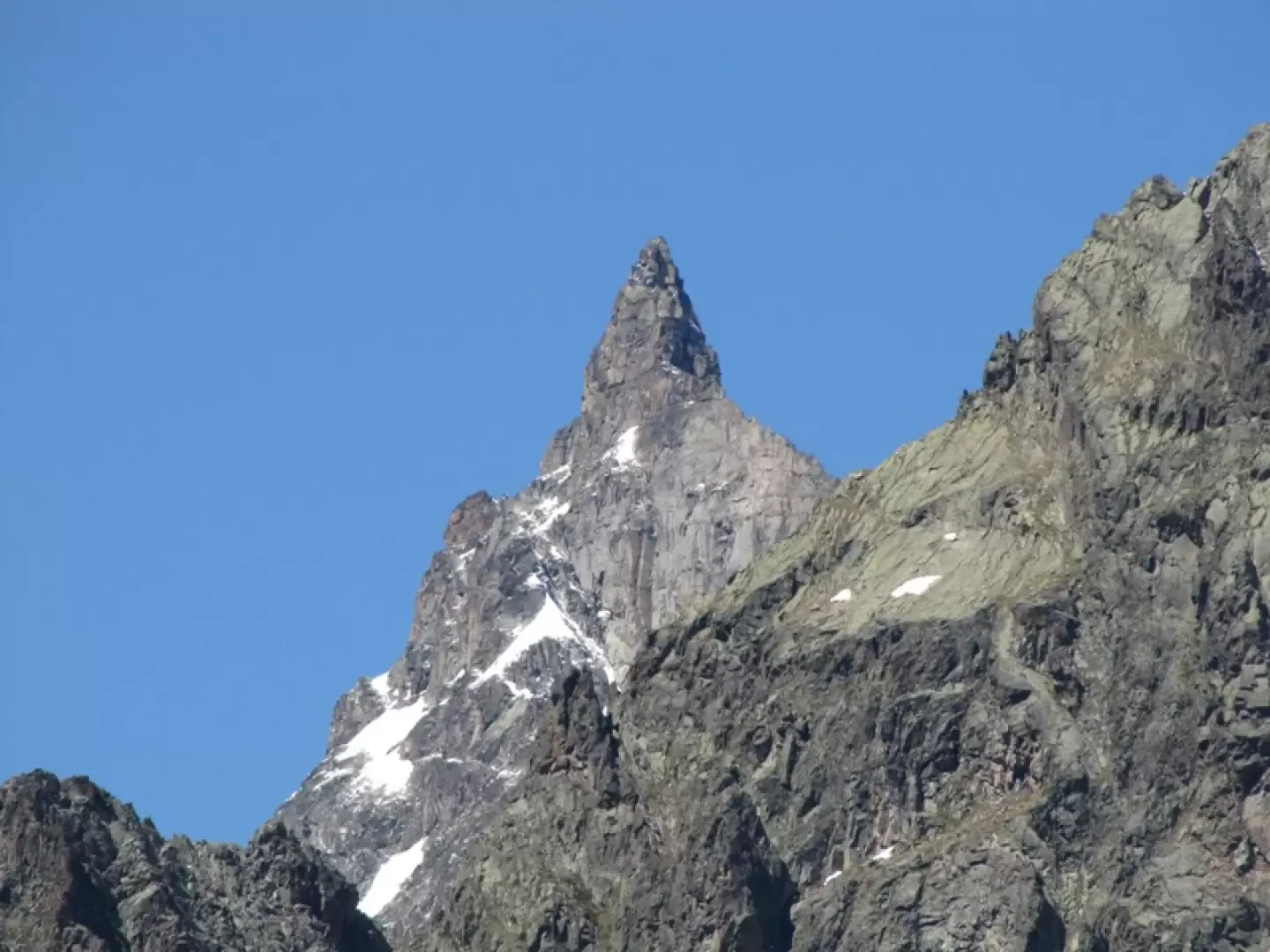
Chardonney means 'meadow where the thistle (chardon, tzardon) grows', sometimes spelled 'Chardoney' (e.g. Buscaini, Guida Alpi Pennine). There are places with the same name in the commune of Champorcher and in Canton Vaud. The Vertsan comb is a magnificent amphitheatre, bordered by the ridges that go from the Mont de Crete Seche, up to the Berlon (this section of the ridge was given the name 'dry ridge', which then passed to the entire comb, from the Chardonney col to the refuge of the same name, the two Chardonney becks, the foothills of the Cervo, to descend to the col de Vertsan and end in the long Charmontane ridge. Towards the south, the panorama passes from the imposing Luseney, to the Gran Paradiso with the Herbetetet, the Grivola with its satellites and the mountains that precede the Rutor (Granta Parei, Sassiere).
Description
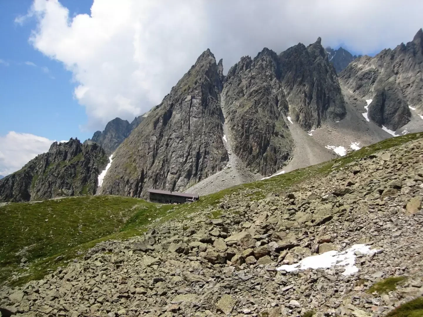
The Crete Seche refuge can be reached by three paths. The normal one, marked with no. 2, is the longest and sometimes crosses the 'interpoderale', which can be followed with little loss of time. Coming out of the forest on the inter-farm road, there is an indication 'Raccourci Scorciatoia', the beginning of the 'direttissima' (direct route), which steeply leads back to a hairpin bend of the inter-farm road, which is left to the right to take a path, at first not very identifiable, that zigzags and leads to path no. 2 just before the refuge. However, if you continue along the inter-farm road, when you leave it to go back up to Alpe Berrier, a winding path starts that reaches path number 2 shortly after the start of the large traverse that leads below the hut.
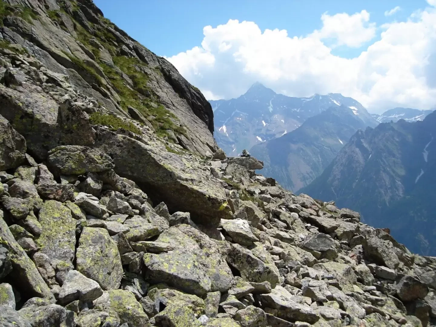
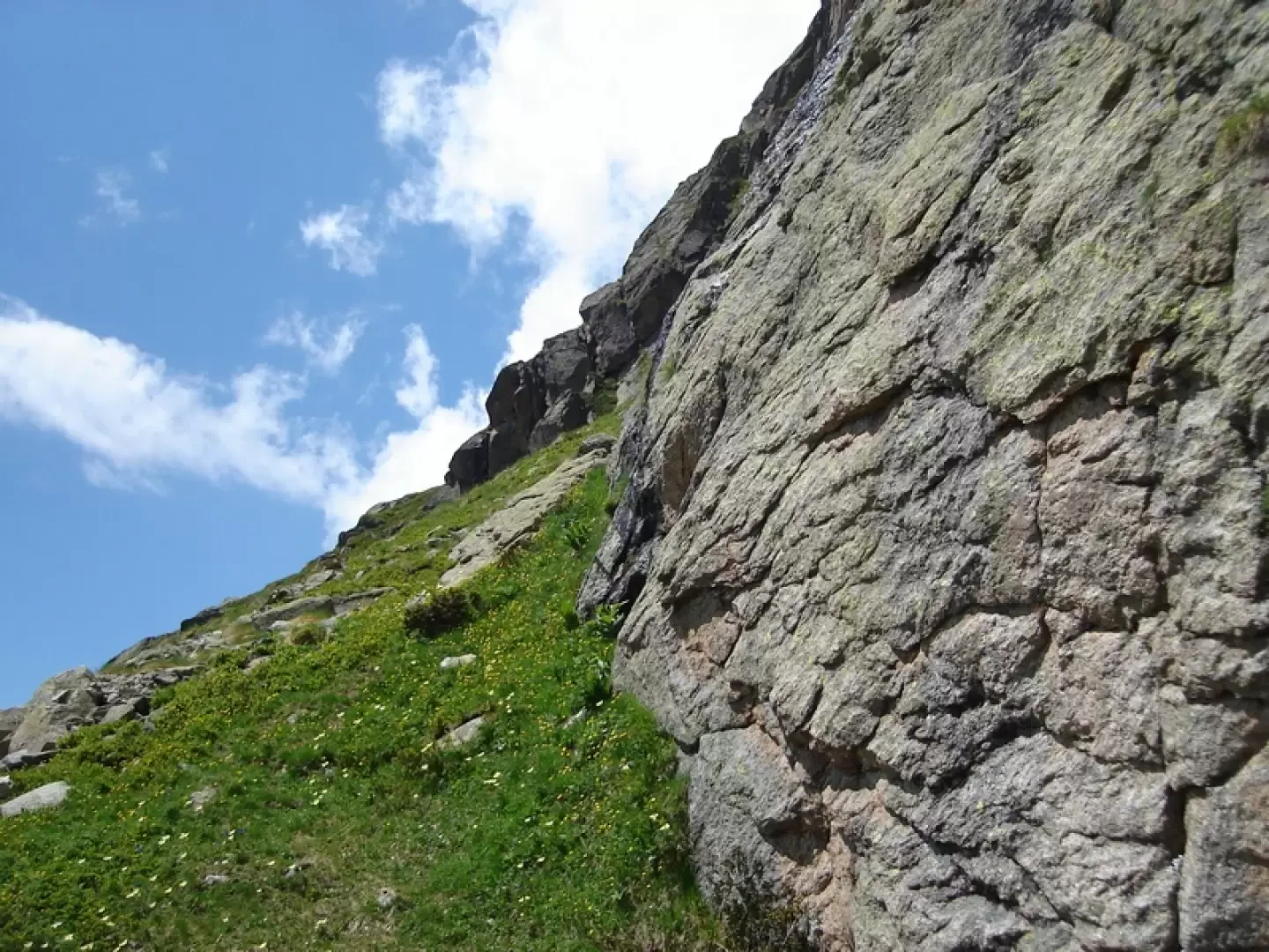
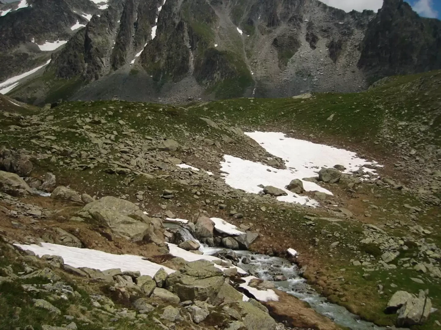
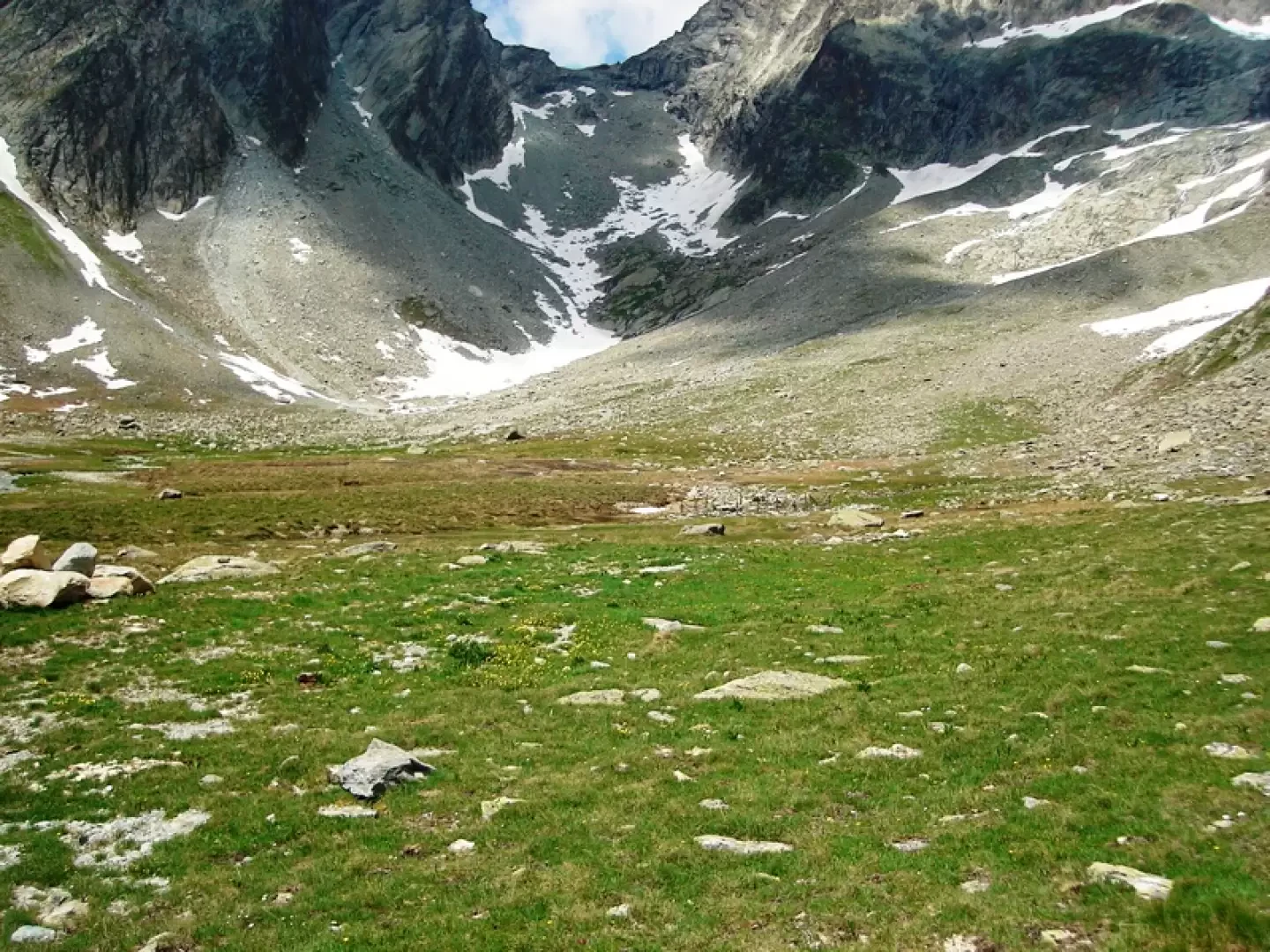
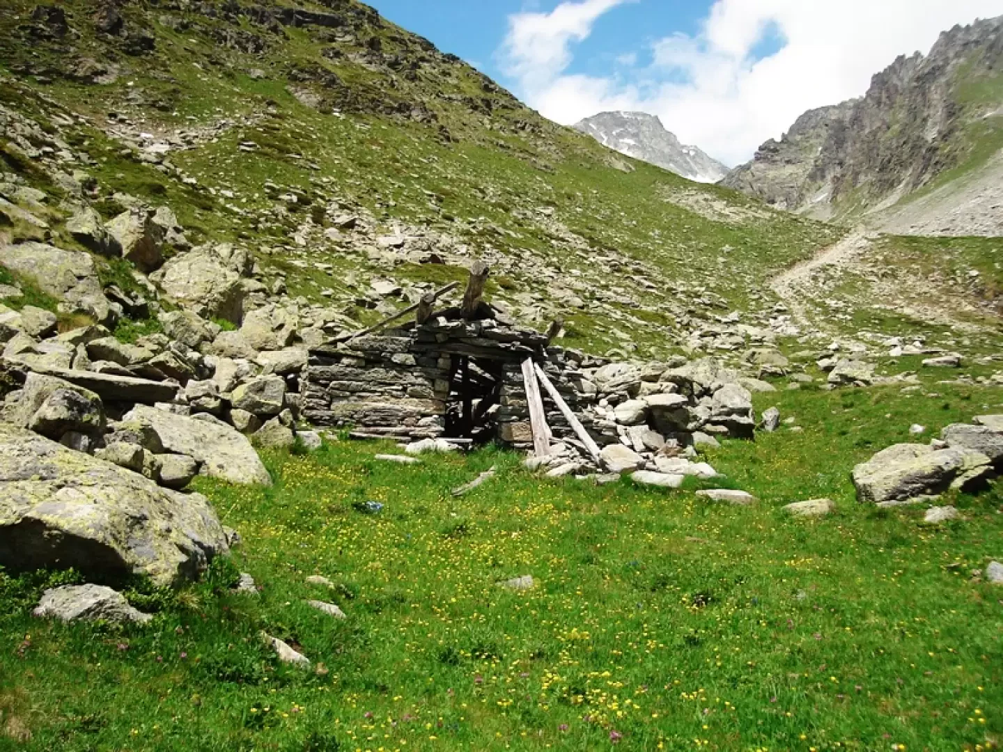
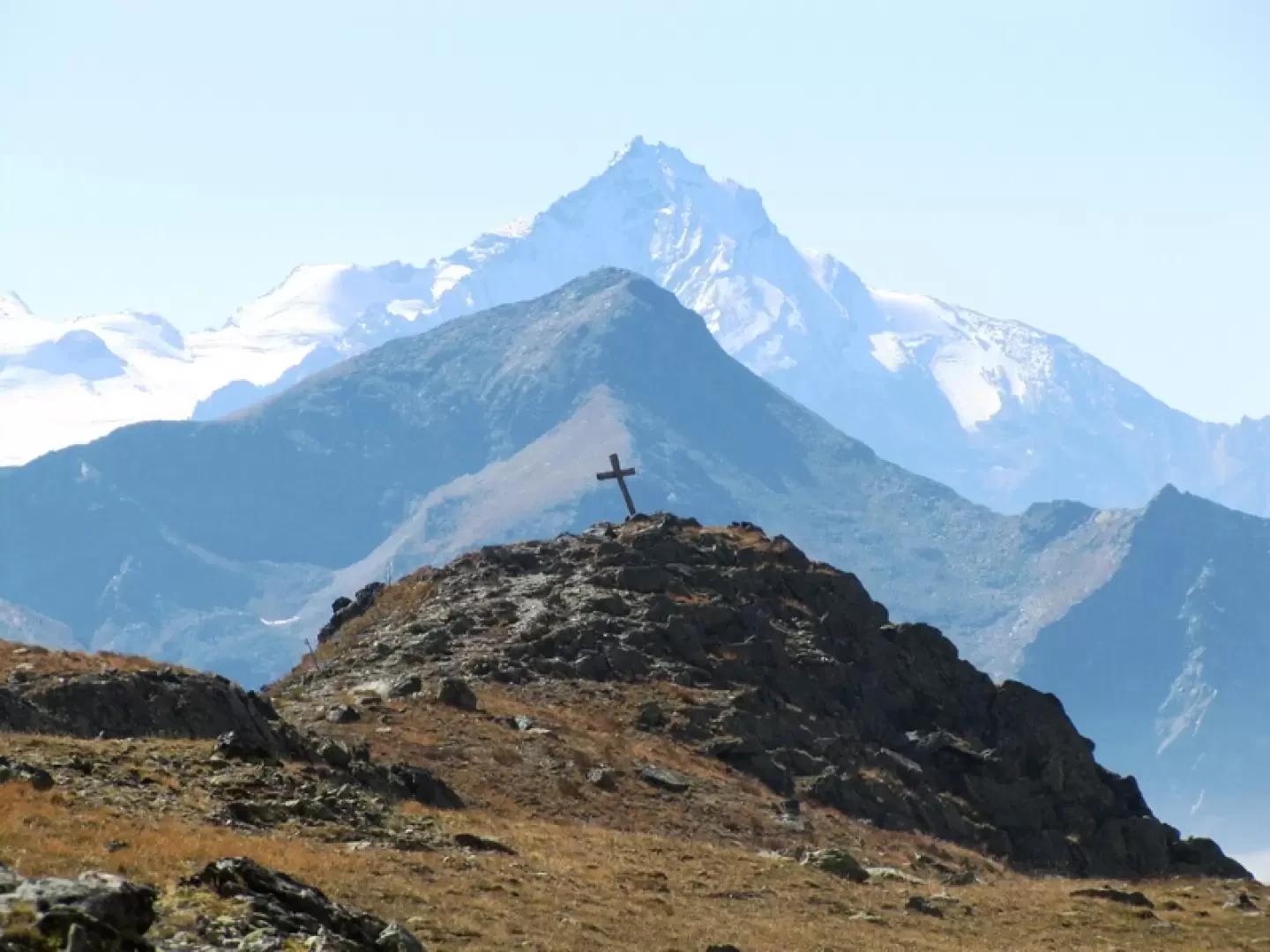
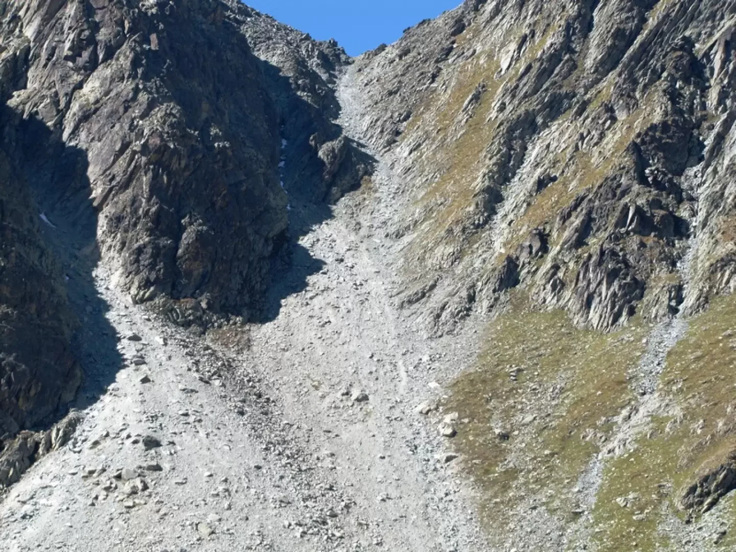
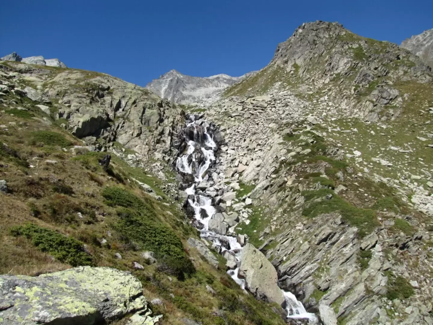
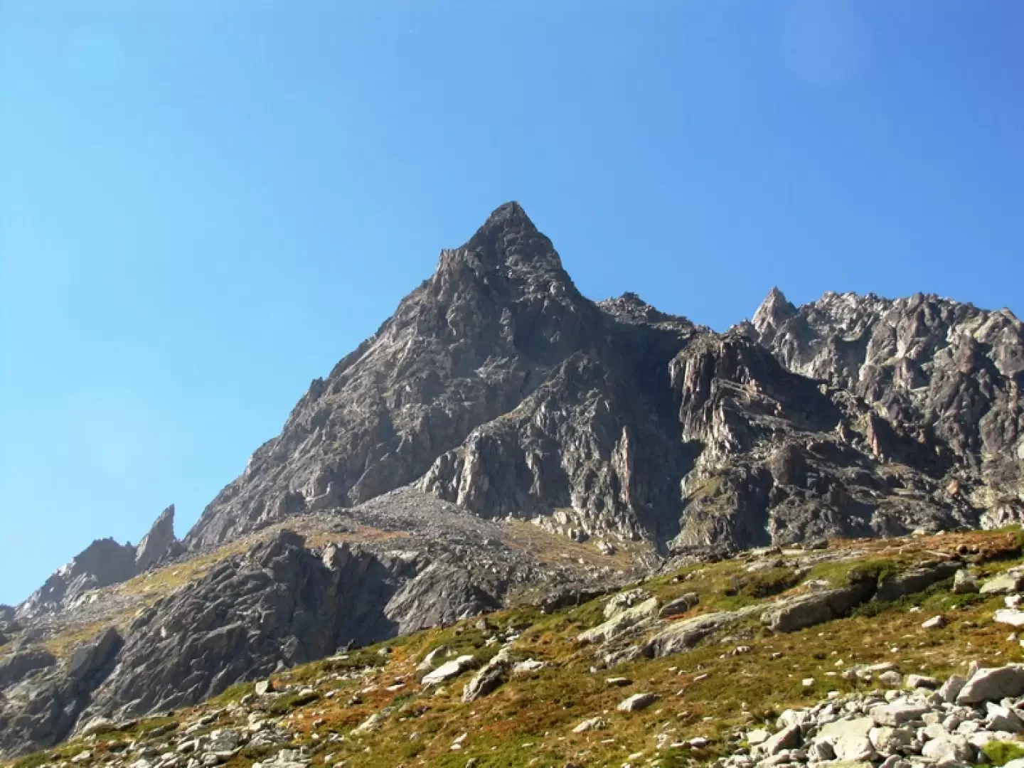
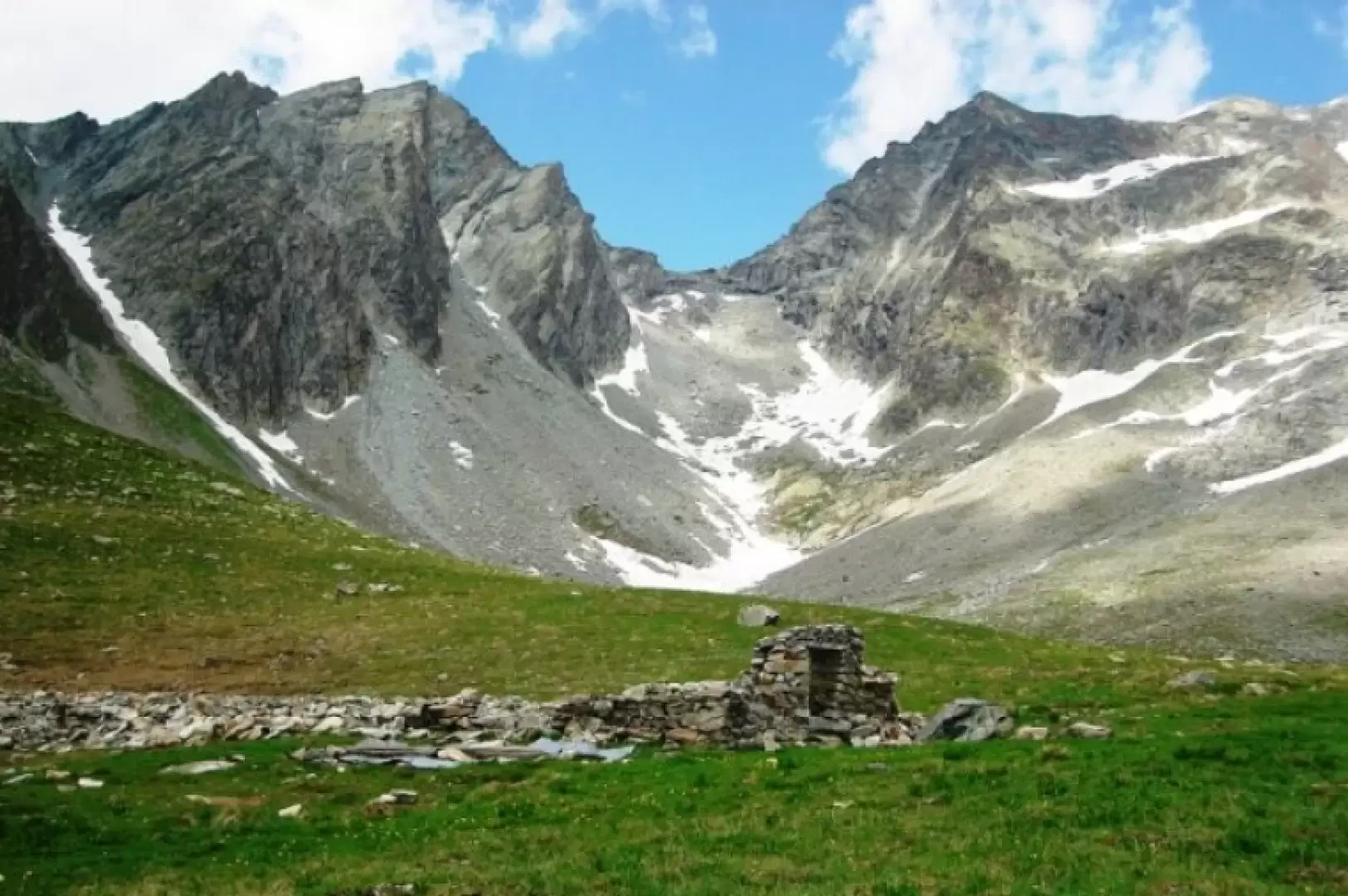
This is the "direct" path that saves you a few minutes, a well-marked and fairly comfortable path. To the east of the hut a track starts, which immediately disappears under a boulder field. You follow cairns and yellow signs on it, which only indicate the direction, then you must pass between the boulders where it is most convenient. One thus contours the looming north face of Crete Seche, accompanied on the other side of the Valpelline by the becca di Luseney. There is a succession of tracks and boulder-strewn paths, with clear markings because this is the route leading from the hut towards the mountains further north (Cervo, becca di Chardonney, Rayette). One passes under some rock walls equipped with bolts and thus comes in sight of the Vertzan comb, surrounded by the snowfields of the two becca di Chardonney and the Cervo. To the north, you skirt a delightful little valley where the Vertzan stream flows and thus reach the ruins of what was once the Chardonney alp. To the south, at an altitude of 2536 metres, there is a cross and a vantage point overlooking the Berrier alp. The Chardonney alp used to be reached by a path marked number 4 that deviated from number 2 at the Berrier alp. Now the area is devastated by an abandoned road and in abandonment is the path, there are tracks and a few cairns. Descending, keep to the right, cross a stream (or two if you are further down) and leaving alpe Berrier on the left, you reach the cross-country road and path number 2, which leads back to the Ru car park. You can also descend along the orographic right bank of the Vertsan stream. At first, follow the stream below the altitude of 2536 metres, until you find a path leading downwards, until you lose your way again when you are in sight of path no. 2, which you reach via pastures.
Galleria fotografica