Sarteur Chapel, from Mandriou

Edited by:
Massimo Martini
Updated at: 26/06/2025
Access
Leaving the motorway at the Verrès exit, enter the roundabout and take the second exit. Proceed in the direction of the town centre and, after 300m, turn left onto the regional road for Val d'Ayas. Follow the regional road for 22.1 kilometres, passing through the villages of Challand-Saint-Victor and Challand-Saint-Anselme, Brusson, Vollon and Extrapieraz until you come to a crossroads for Antagnod in the hamlet of Corbet. Turn left and follow the regional road to Antagnod, passing the villages of Lignod and Antagnod. After about 4 kilometres you'll come to the crossroads for Barmasc, ignore the left turn and continue along the municipal road for 1.3 kilometres until you come to the crossroads for Mandriou. Turn left and drive up Route de Mandriou for a further 1.6 kilometres until you reach the free car park 🅿️ facing the village. In case of heavy traffic, turn back and park along the road, taking care not to get in the way.
[0h44'] - [28.6km]
How to get there with GMaps
How to get there with Apple Maps
The directions given here were verified at the time of the route survey. Before setting off, it is advisable to ensure that no substantial changes have occurred on the route to the starting point. We therefore recommend the use of the satellite navigation apps provided by Google or Apple for up-to-date and detailed directions.
Introduction
The hike to the Sarteur Chapel is a fascinating route combining nature, history and spirituality. Starting from Mandriou, the trail crosses forests, pastures and alpine pastures, offering spectacular views. The chapel, located at 2,251 metres, is an oasis of peace that connects visitors with the mountain and its traditions. Of medium difficulty, this hike is perfect for those seeking an authentic experience in the evocative landscapes of the Aosta Valley.
Description
### Introduction to the Excursion to the Sarteur Chapel in Ayas
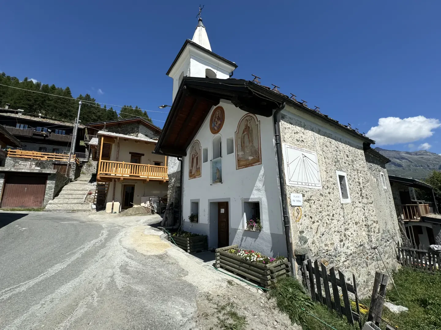
The excursion to the Sarteur Chapel, located in the picturesque Val d'Ayas, is a fascinating trail combining nature, history and spirituality. Starting from the village of Mandriou, at an altitude of around 1,800 metres, the trail winds its way through larch forests, green alpine pastures and ancient mountain pastures, offering breathtaking views of the surrounding mountains. The Sarteur Chapel, located at an altitude of 2,251 metres, is an evocative destination, immersed in an environment of peace and serenity, giving visitors a deep sense of connection with the mountains and their traditions. This hike, of medium difficulty, is ideal for those who wish to have an authentic experience amidst the enchanting landscapes of the Aosta Valley.0h00' 0.00km
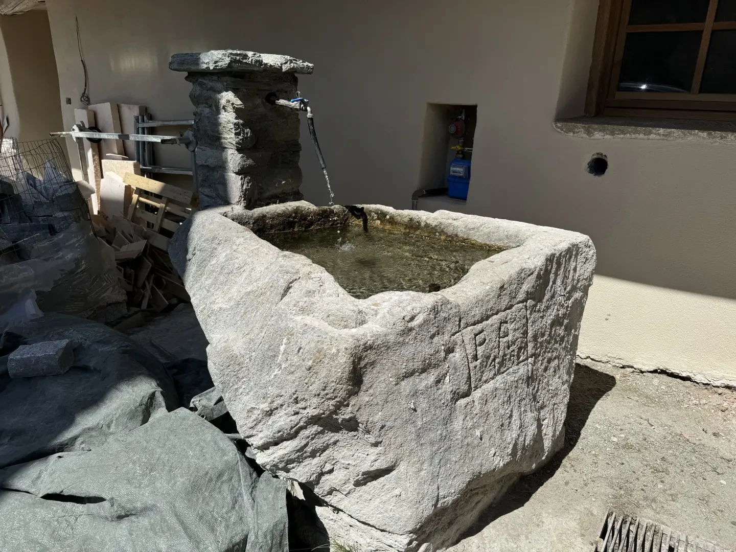
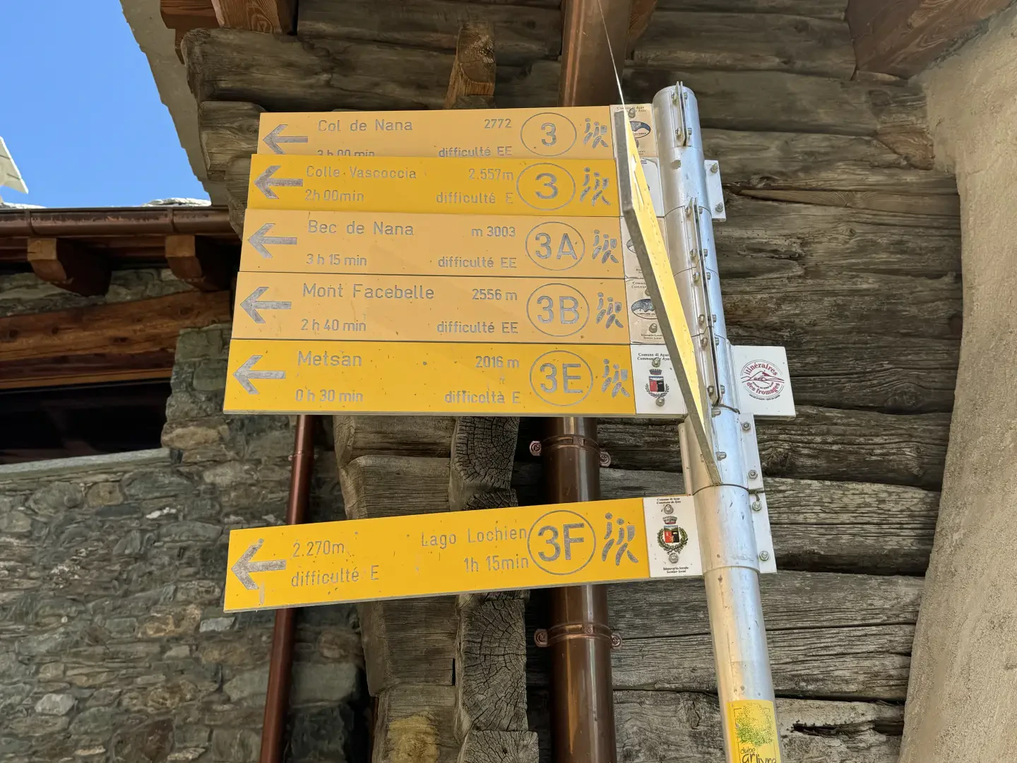
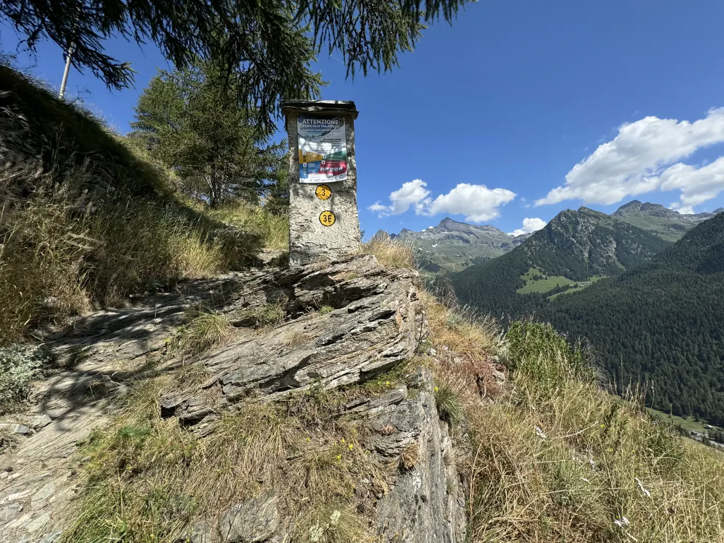
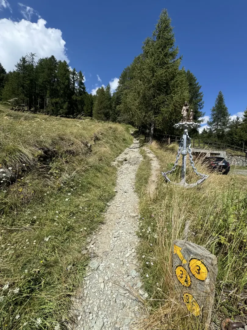
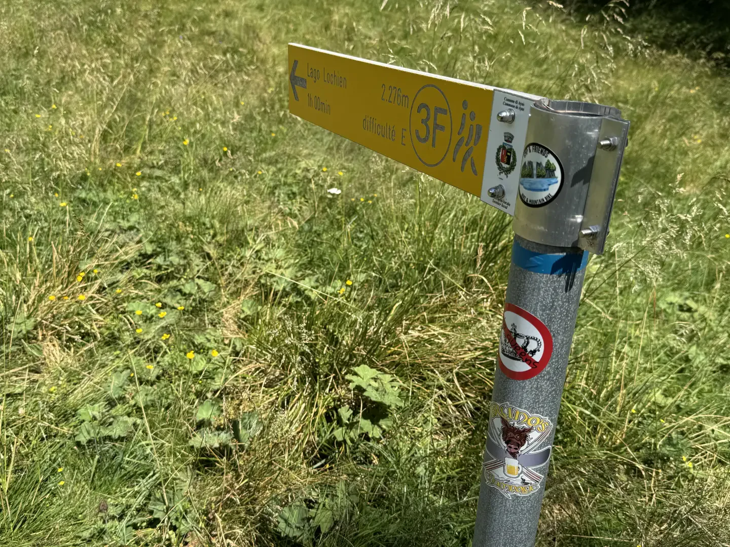
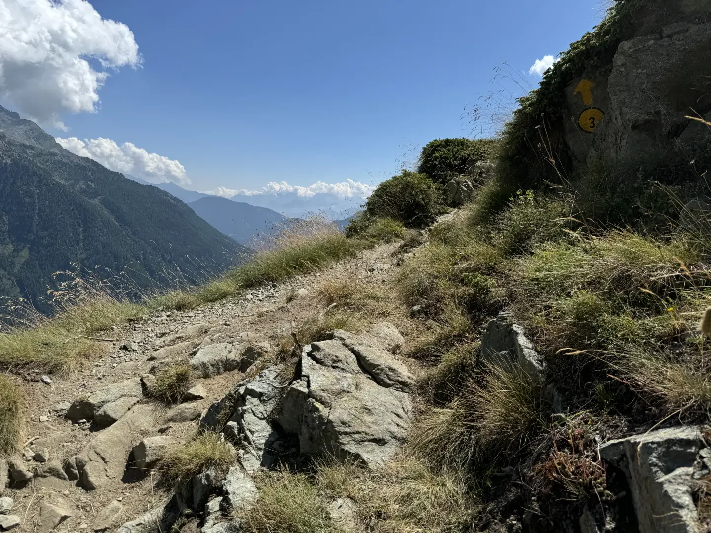
From the car park, leave the chapel dedicated to the Immaculate Conception on the right and head towards the village. Near a fountain 💧 you will come across signposts indicating the main paths from Mandriou. Follow the signs for Lac Lochien as you make your way through the characteristic hamlets of the village. Having left the hamlets, the path becomes steeper, skirts a votive shrine and reaches the little access road to Cà Zena (1883m). Continue straight ahead on the path that leaves the pastureland and enters the larch forest. With a constant incline, you will reach a first clearing and, a little further on, a signpost with directions to Lac Lochien (1950m).
0h20' 0.58km Continue straight on until reaching Ru Courtod (1976m) and an explanatory panel.
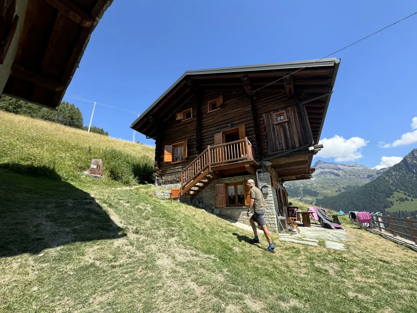
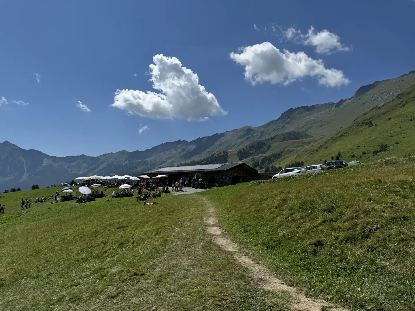
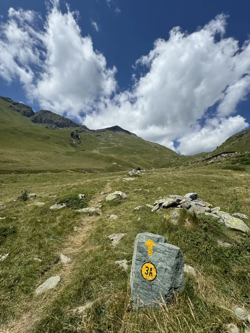
0h25' 0.78km Neglect, on the right, the path that runs alongside the ru, and continue straight on over the beautiful pastureland. The path turns slightly to the left and reaches the Alpe Métsan complex (2007m), consisting of the alpine pasture and the tourist farm La Tchavana.
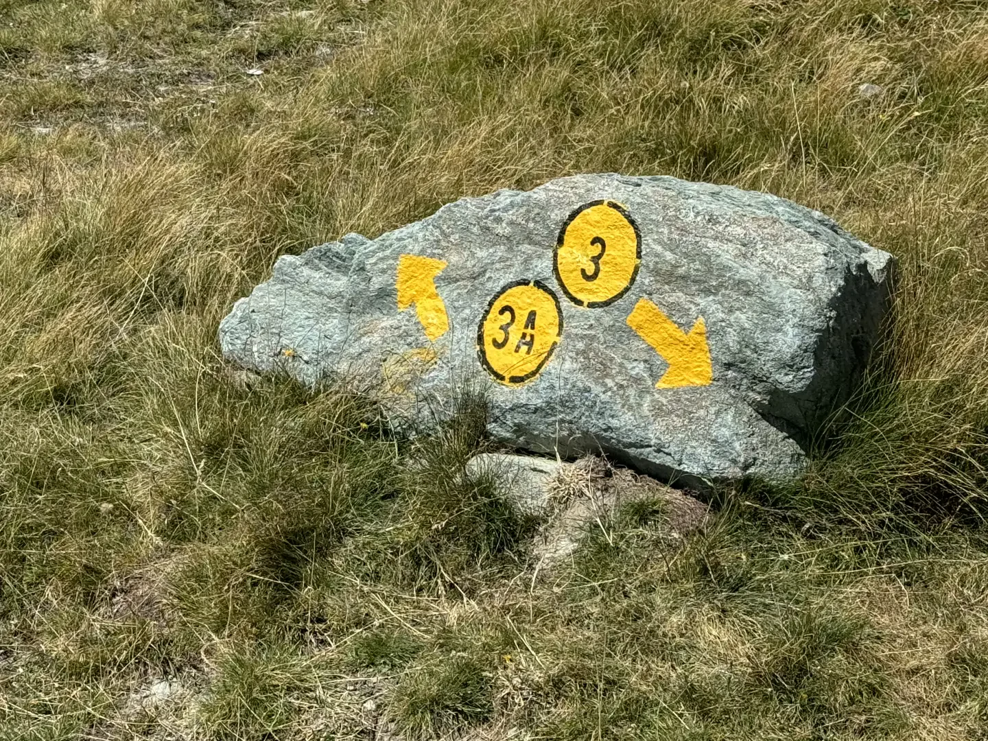
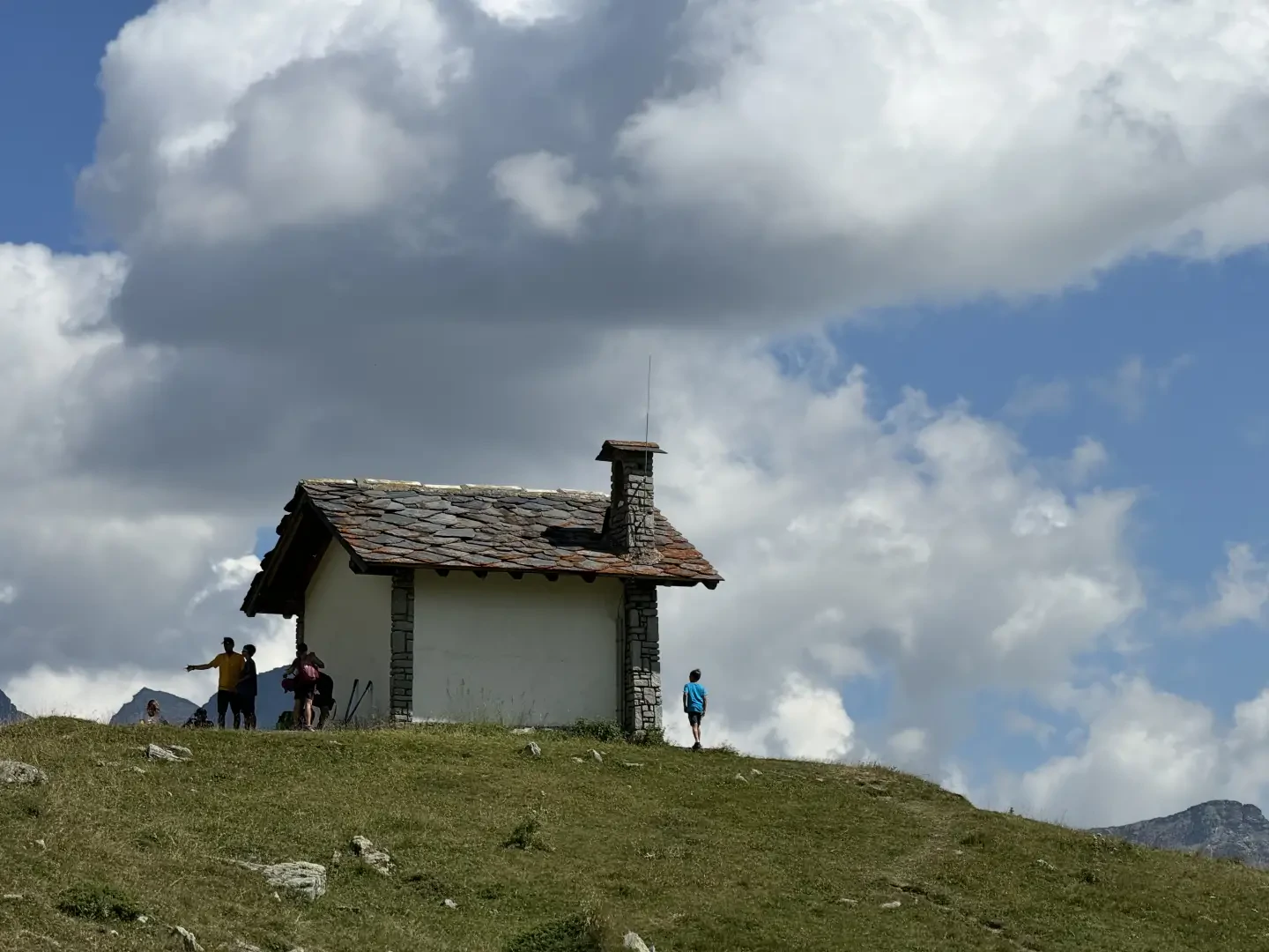
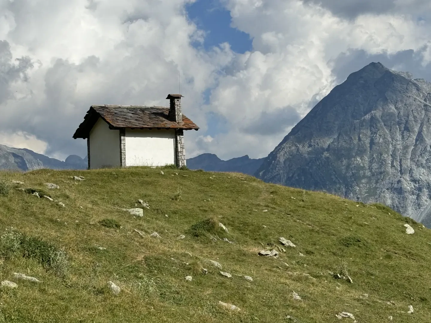
0h30' 1.11km Leave the mountain pasture on the left and, having crossed the little dirt road, continue along the path following the yellow marks in the direction of some benches near a small lake. The path begins to climb up the grassy slope with a long uphill stretch. After a short step, the path veers to the right until it comes into view of the chapel. At a memorial stone marked with the trail sign turn right up a track that soon leads to the Sarteur Chapel (2,251m) 1h15' 2.08km .
The return is along the same route as on the outward journey 0h45' 2.09km .
Points of Interest
- Mandriou
- Chapel of the Immaculate Conception in Mandriou
- Ru Courtod
- Alpe Métsan
- Sarteur Chapel
- Alpeggio di Vascotchaz
Galleria fotografica