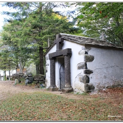
Chapel of Blades
Access
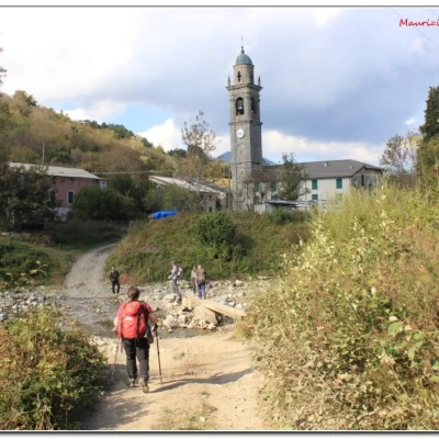
You drive up the Aveto valley (e.g. from the Lavagna motorway exit - very good prices for refuelling at the Ipercoop petrol station in Carasco), passing Borzonasca and Parrazzuolo, until you reach Cabanne, where you leave your car (car park on the right just before the junction for Fontanigorda, near the church).
Introduction
A loop between Cabanne and the Cappella delle Lame in Val D'Aveto. We took part in the 2nd "Day of the Ligurian Paths" 2018, choosing, from the many available, the route by the president of the Liguria Region CAI, "Along the path of the monks of VillaCella" in Val D'Aveto, who explained the various aspects of the tour - https://www.lamialiguria.it/
Description
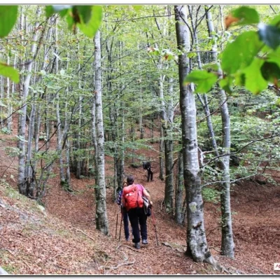
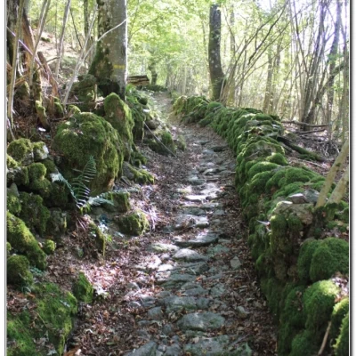
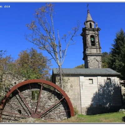
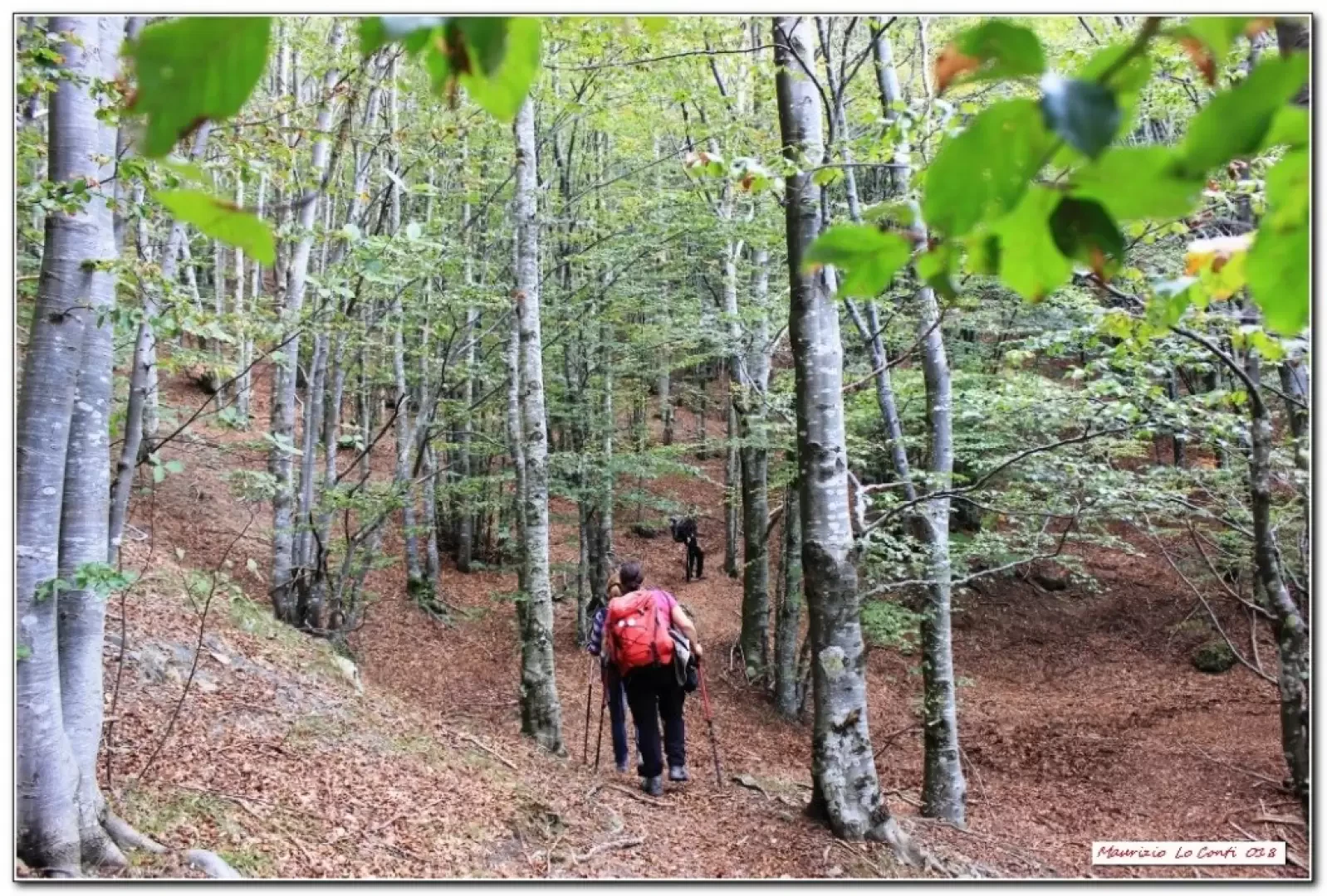
Continue on the tarmac road, with due care, out of the village (810m) and until you find a dirt track that climbs to the right, winding its way through the trees. At the various forks in the road, pay attention to the Fie signs, which are also clearly visible. Finally, you arrive at the characteristic hamlet of Villa Cella (1028m - 1h30 ). The church and mill are very beautiful. Once again, we plunge into the forest (Fie signs are always well marked) and in about 1h10' from the village, we join the AVML, keeping to the left (to the right is the return). In 5', you will find the Casa Forestale delle Lame (1300m), the Cai refuge and, less than 100m away on the right, the Cappella delle Lame (total time 2h45).
After the break, retrace your steps for 5', ignore the path on the right where you came in the morning and continue straight on.
At the following crossroads, go straight on and you will come to the Cappella del Bozale (965m - 1h10), an important crossroads.Turn right downhill on a path that is not very evident and with old symbols, to be followed, therefore, with particular concentration. Continue until finally finding the footbridge over the Aveto which allows you to return to Cabanne (1h - tot retrace 2h15).
In short: Excellent weather weather. Beautiful ascent and Av, average final descent Dif. E - 5h Tot - about +530 m disl.
If you want here is the pdf photo file, with some other news:
http://cralgalliera.altervista.org/Cabanne018.pdf
NB: In the case of an excursion, always check with FIE, Cai, any park authority or other institutions, pro loco, etc., that there have been no changes that have increased the difficulties! No liability is accepted. The present text is purely indicative and not exhaustive.
Info Hiking Section Cral Galliera: http://www.cralgalliera.altervista.org/esc.htm
Trips 2018 at link: http://www.cralgalliera.altervista.org/gite2018.pdf
General information
Signposts: Trails with Fie and Cai markings
Type of route:circular
Recommended period: April, May, June, September, October
Exposure to the sun:north
Objective Danger:none
Exposed Trails:none
Useful Equipment:normal day hiking equipment
