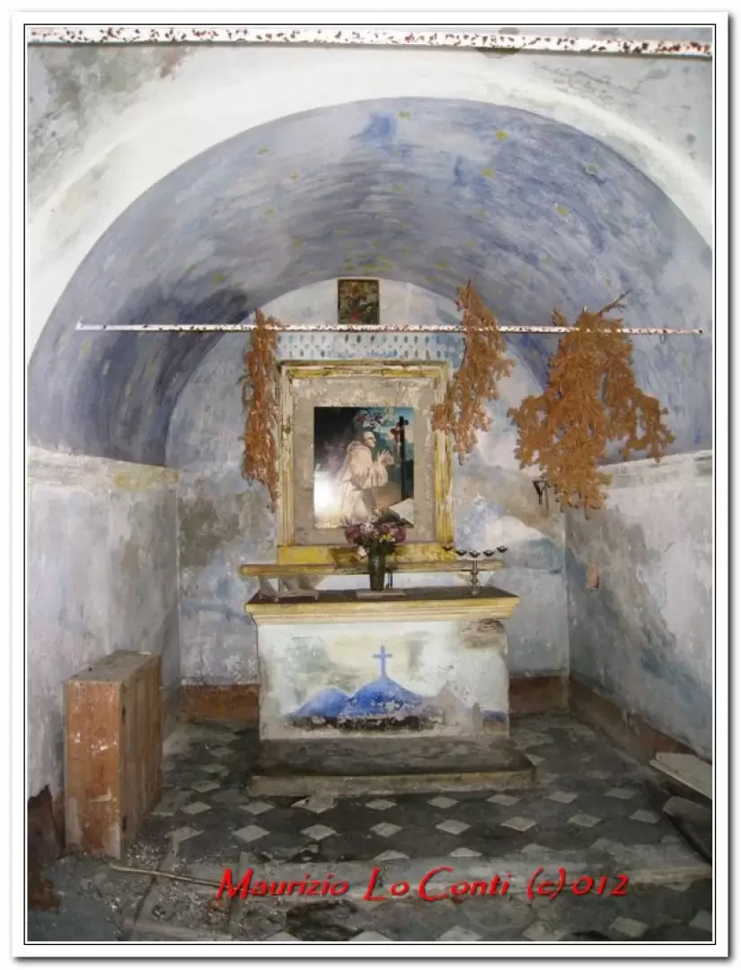
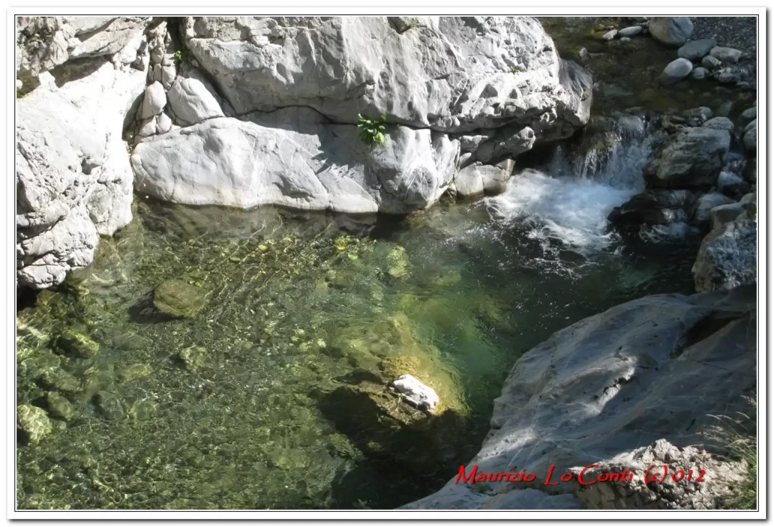
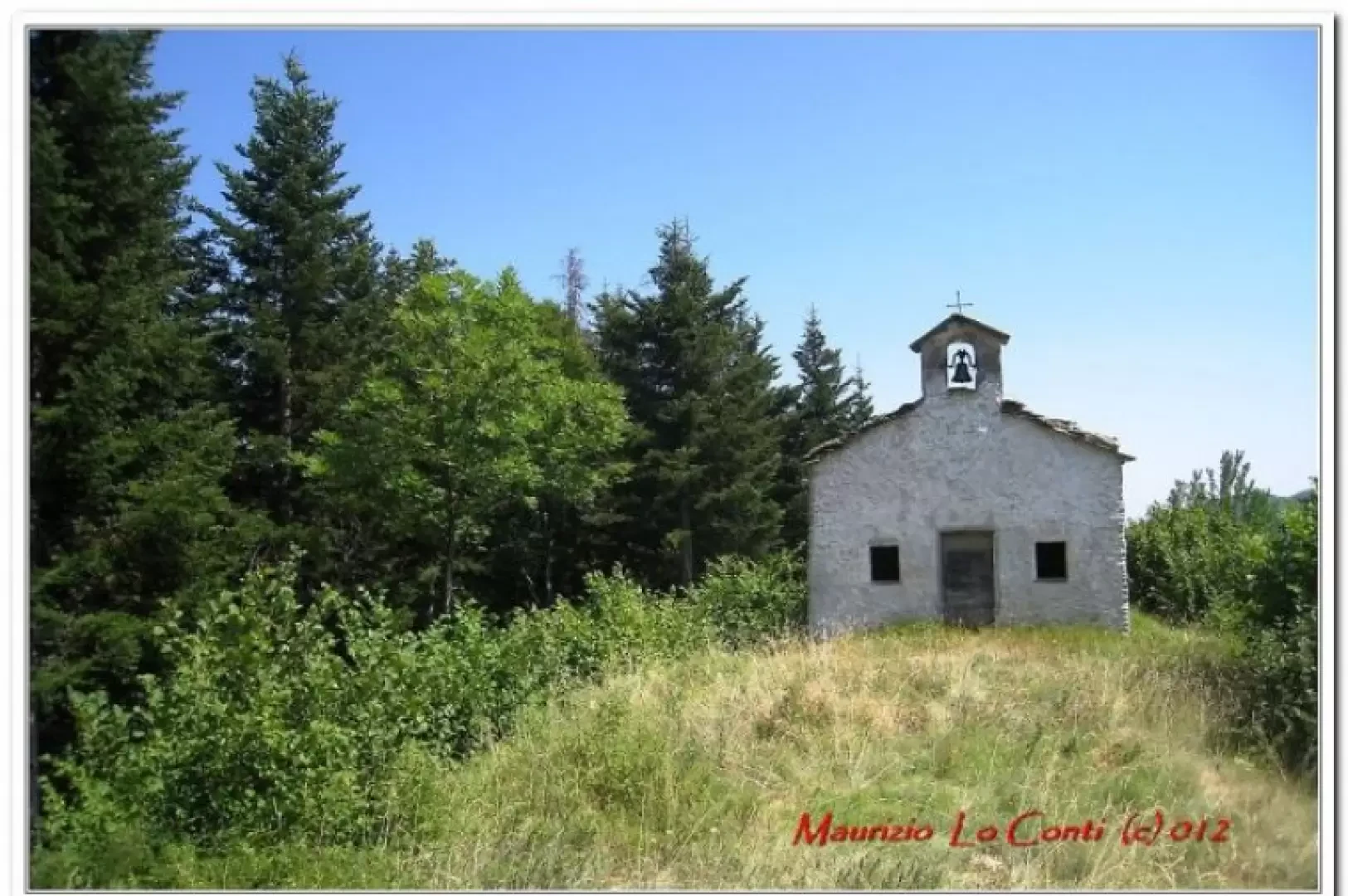
Chapel of St Bernard, from Sciairante Bridge

Edited by:
Maurizio Loconti
Updated at: 04/05/2025
Access
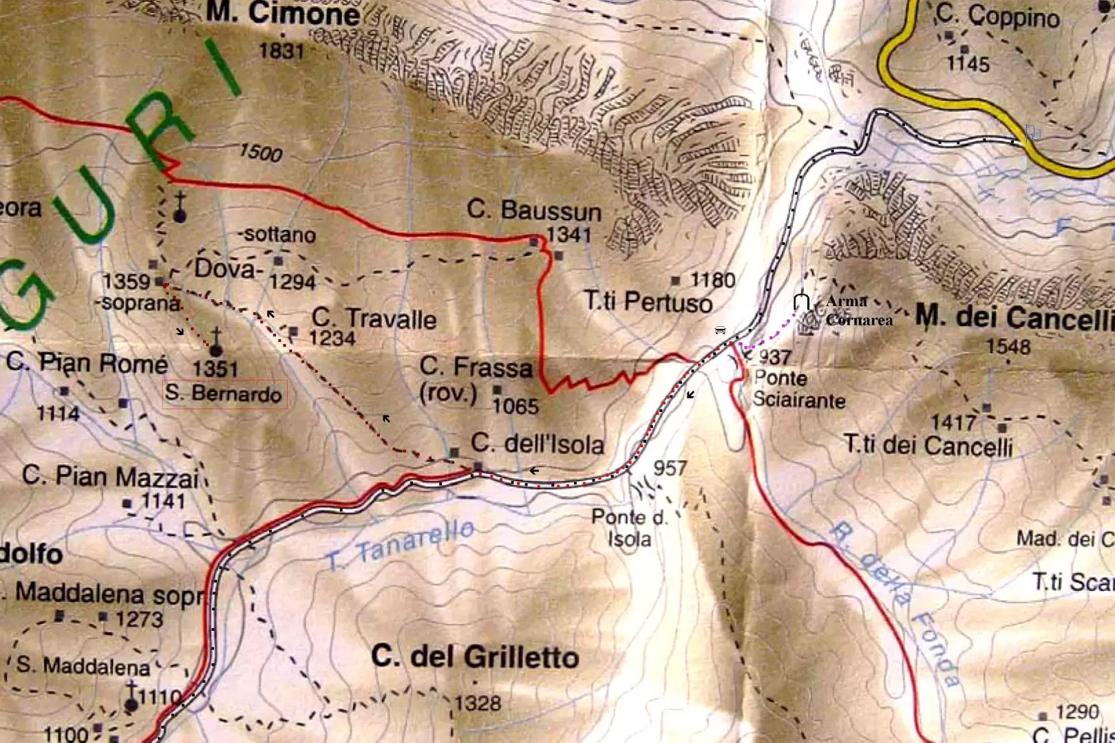
You exit at the Ceva tollgate and climb up the Tanaro valley, passing Garessio and Ormea in succession. From Ponte di Nava, turn right towards Viozene, but after about 5.4 km turn left at a large picnic area (900 m). Parking here (in this case +50' A/R) or 1.4 km of dirt road to Sciairante bridge (only 5/6 parking spaces) 937m
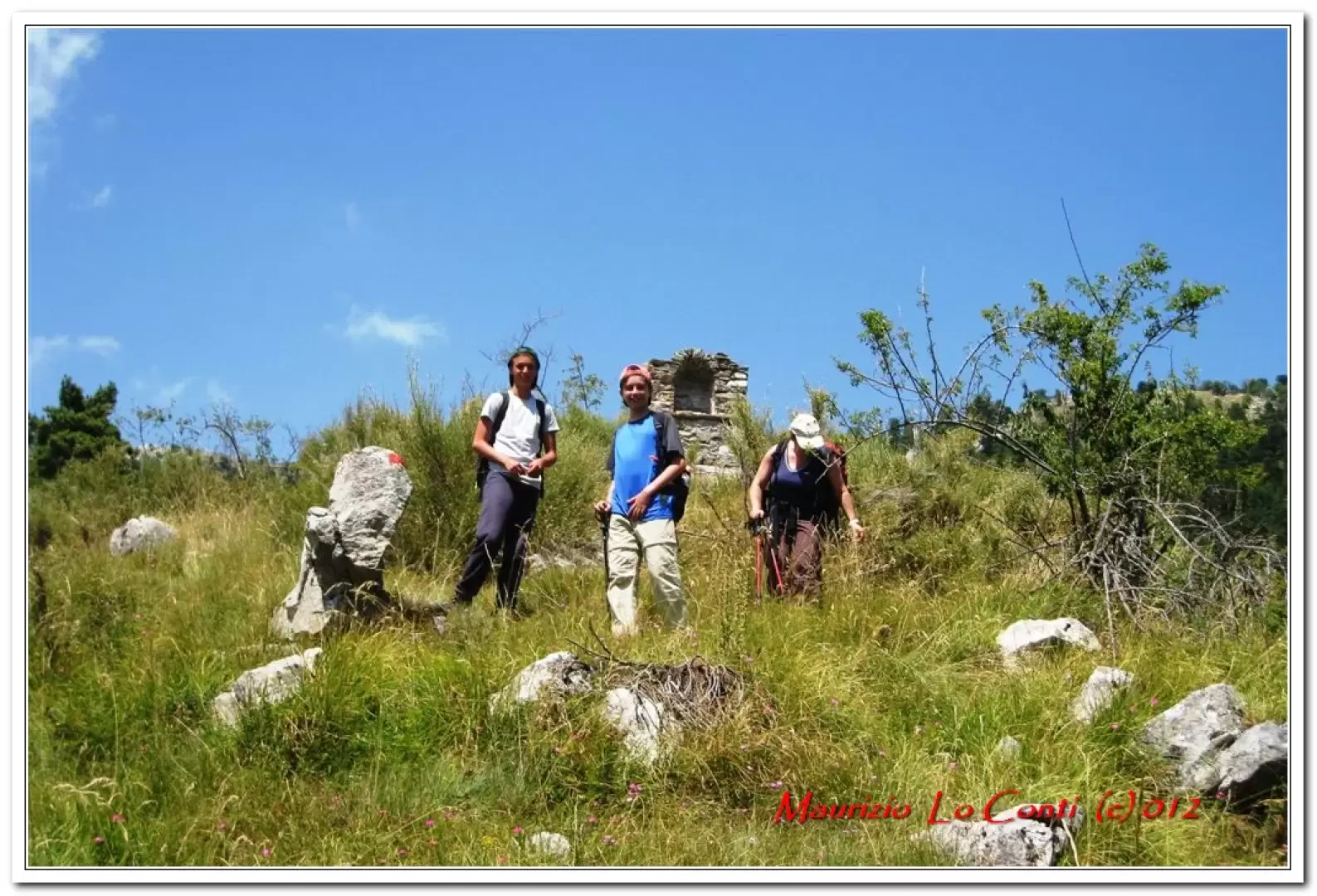
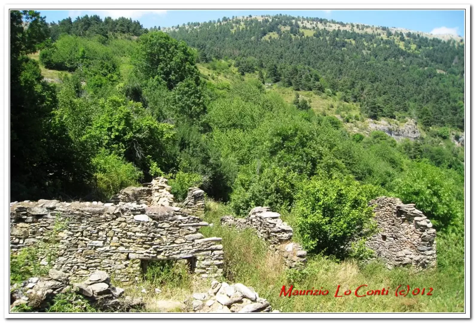
Description
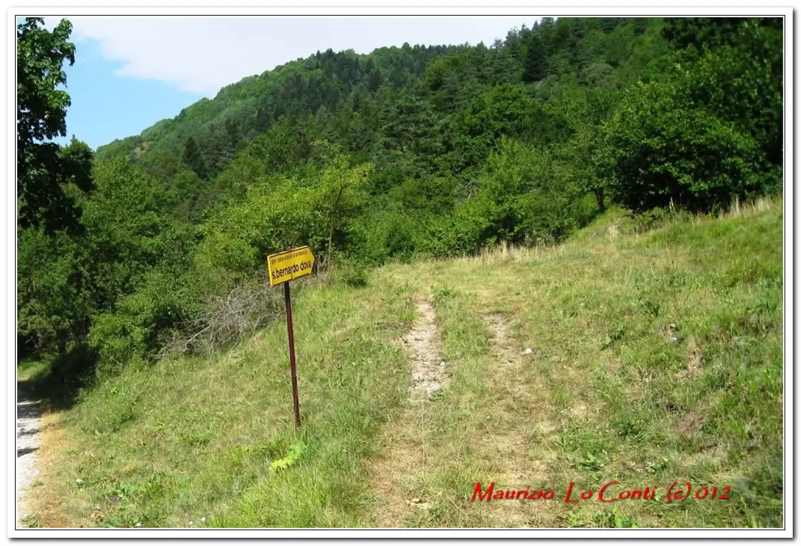
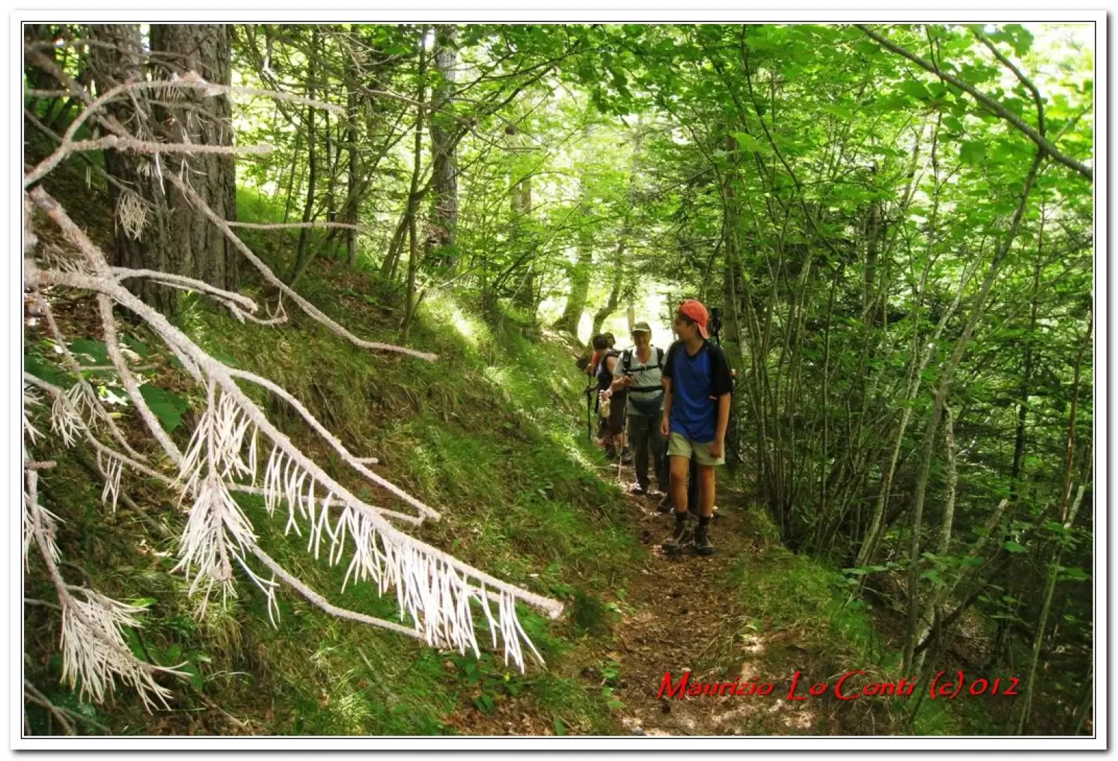
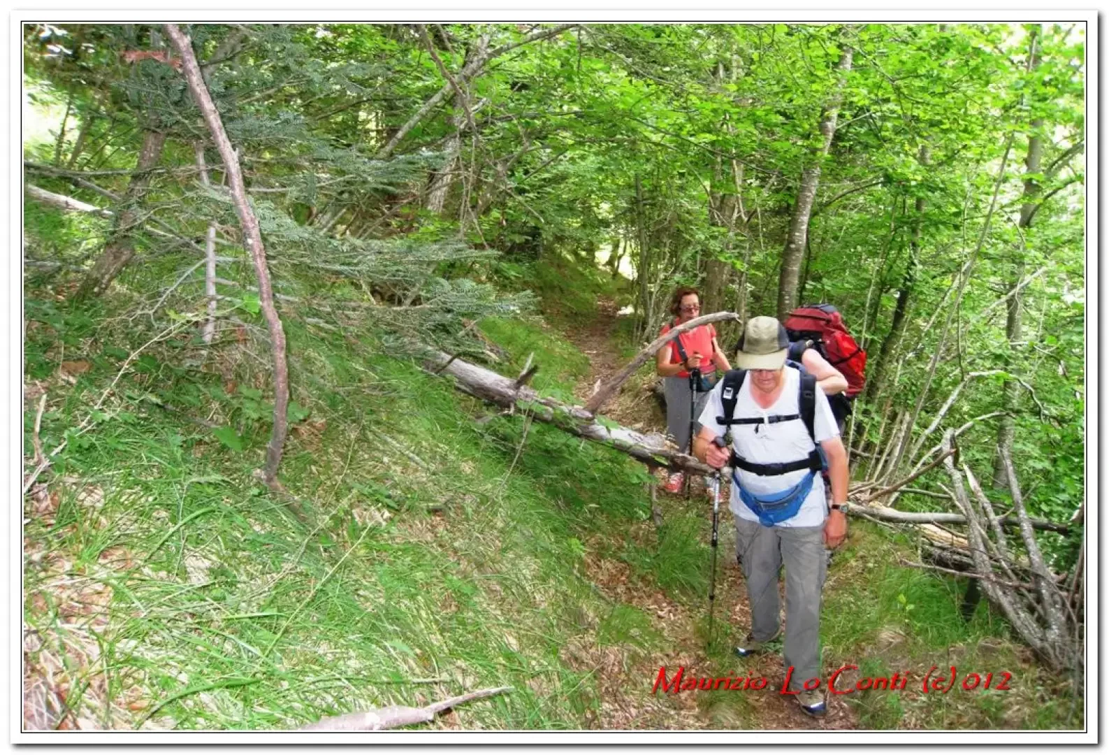
In 30 minutes, you reach a clearing and to the right is the turnoff for San Bernardo Dova (from Case Isola - 950m). You immediately pass a couple of ruined houses and cross a small stream. The path is marked with a red roundel (sometimes there are two, but also yellow notches). It climbs for a long time into the forest, and in a couple of places, you pass logs that make it difficult to pass; the idea is that this is a path that not many people take... After another 90 minutes, you finally leave the forest, but due to confused indications (from the excursion booklet available), you think that this is only the first abandoned village and you still need to recover another 100 metres of altitude to reach Dova and then the Chapel of S. Bernardo... The path, which is not very long, is not very easy to follow. Bernardo Chapel... The path, still marked in the same way, goes to the right and climbs straight up with a steep incline... As you gain altitude, you can see beautiful views of the Ligurian Alps: Monte Saccarello, Cima Missun, Monte Bertrand, etc. We climb up until we pass a votive pillar and reach a large house with a large stable... We search but find nothing... we are now too high in altitude and after consulting maps and texts we realise that the sacred building MUST be close to the first group of abandoned houses encountered earlier on the ridge. We descend again to the abandoned hamlet and if there is a small church nearby, then it must be Dova... It is a little hot, given the altitude, which is not too high, so the best times are the intermediate seasons. In 5' on the level, following the wooded ridge (with respect to the ascent route, if done without mistakes, one must turn left from the ruins) one finds the well-preserved and open structure! Here too the track is marked with a red roundel (in the area all the symbols are the same and this leads to a little confusion...). In short ... Found it! There it is! Well, you are now at 1351 m. Finally, you can retrace your steps (1h30 return). In the final stretch, you skirt the beautiful Tanarello stream, on the way out you were distracted by wanting to reach your destination...
if you would like some photos at the links
http://www.cralgalliera.altervista.org/altre2012.htm
NB: in the event of an excursion, always check with FIE, Cai, any park authorities or other institutions, pro loco, etc., that there have been no changes that have increased the difficulties! No liability is accepted. This text is purely indicative and not exhaustive.
.Gastronomic information
At the end, a tour of Garessio with some shopping (including the delicious meat from the Bertola butcher's shop, Via Federici, 14, tel. 0174 81047 ) and in the evening the delicious white polenta of the Alpini....
Gastronomic information
Saracen polenta is an ancient dish exclusive to Garessio and surrounding areas. Prepared with local products such as potatoes, buckwheat - whose flour was originally the only one used -, wheat flour, pecorino and parmesan cheese, butter, cream, leeks, dried mushrooms. . .
Riferimenti Bibliografici
- Sui sentieri della Liguria - Chiaretta Fulvio e Molino A. - CDA, Torino, 1996
- Carta Alpi Liguri (1:50.000) Provincia d’Imperia - - Blu Edizioni, Peveragno, 1999
Galleria fotografica