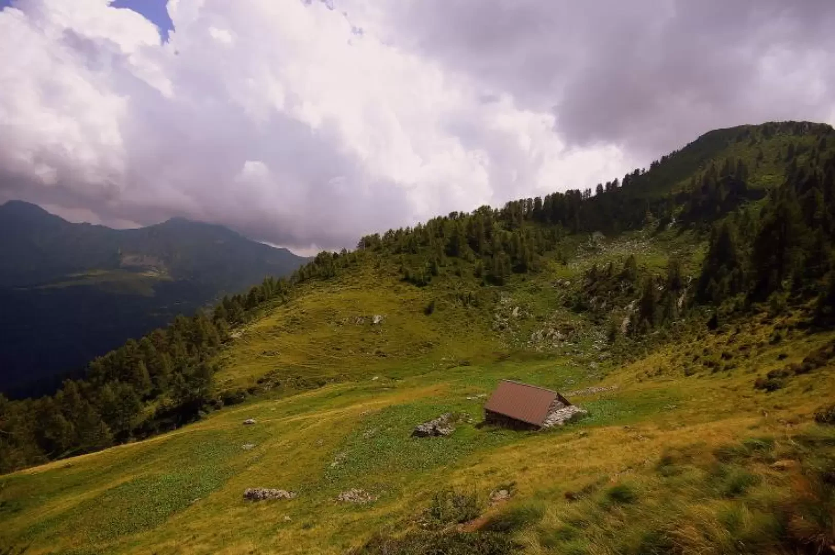
Baita Aguc, from Rifugio Ronchi

Access
From Milan to Morbegno along state roads 36 and 38; at the next crossroads at the second set of traffic lights, turn right and, having reached Piazza S.Antonio (Hospital on the right), take the Transorobica provincial road to Passo S.Marco. In a few minutes, after some hairpin bends in the woods, shortly after the Tempietto Votivo, turn right towards Bema: the road is very narrow and very exposed. When you reach the small village, continue up the slope with wide hairpin bends to the unpaved square of the Rifugio ai Ronchi.
Introduction
A hike that, although well signposted, is certainly - wrongly - not very frequented; in addition to the obvious panoramic aspect (we are facing the entire Rhaetian Alps from Lake Como to Adamello), the forest environment of wet north-facing woods, a typical habitat of the now rare tetraonidae, is particularly noteworthy. The destination is also one of the most extensive examples of high-altitude grassland: once the site of alpine pastureland and - for the past few years - reverting to wilderness.
Description
A few steps from the car park, you begin to ascend diagonally to the right along a steep and evident path through blueberry undergrowth; in a few minutes you reach the ridge ("Sentiero della costa") which, with a regular gradient, alternating between stretches of dense forest and clearings, quickly gains altitude. One reaches, and passes, the picturesque clearings of "L'acqua dei camosci" and "Scengia del pomer": the latter is equipped with a small hut-bivouac and some benches. At this point, the path - the "Sentiero Lino" - steepens in the direction of the Pizzo Berro peak: the twists and turns become frequent and the path, after a short equipped section, disengages itself among small rocks and the roots of monumental larches; a section with a not very evident trace in the tall grass leads to the summit cross 1847 m. Proceed with care on the opposite slope, descending to a first pass on the south ridge of the mountain: from here, the trail follows the entire crest with precision - a few exposed stretches - between a few small rocks and beautiful bright woods. After gaining and losing about 200 m in altitude in the numerous ups and downs, you reach the vast pastures of Aguc and (not far away) Vesenda.
The Aguc hut 1876 m is open for emergency use, but not very comfortable.
For the return journey, refer to the long dry wall located downstream of the pasture: follow it to the left and soon a level path is formed that must be followed carefully. After a wooded stretch, at the first clearing of abandoned meadows, you must - vague signs of paint on a stone - descend vertically along the pasture until you spot signs on tree trunks: here you find the path again, which, after a short stretch of woodland, reaches a new clearing. The path disappears and is found again near the ruins of a hut, a little further down the valley, on the right; from here, finally clearer, it takes a diagonal to the left that reaches the Ronchi-Garzino forest track, right near the very long barn known as Baitone di Garzino 1488 m. Following the track to the left, in about 45 minutes, you will reach the Ronchi car park.
The route times reported by the Parco delle Orobie Valtellinesi are often totally divorced from reality.