Villa Castle, from Ville

Introduction
This is one of the itineraries in the lower valley that can be hiked in the intermediate seasons, when there is still snow in the upper valley. It is very pleasant, with wide views over the envers; the Villa lake is an important natural oasis, the only one with a wetland in a dry area. It is a breeding area for the toad, home to other amphibians and reptiles, and also white water lily, marsh reed, bulrush.
.Description
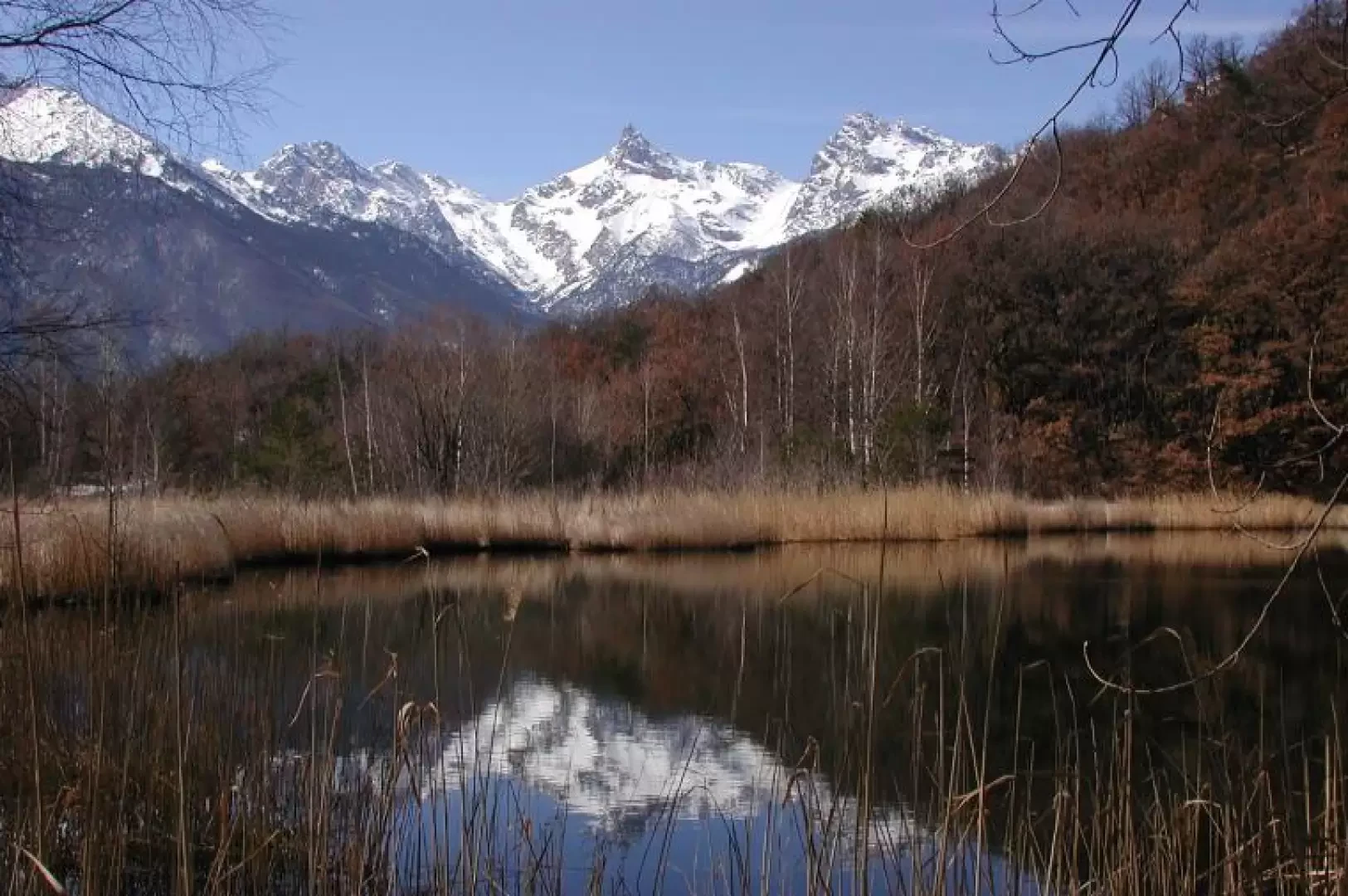
Leaving the car, head towards the hamlet, which appears to have been a Roman settlement. Leaving the chapel on the left, rebuilt after a flood and even now in a precarious state, continue past a splendid spring, which in early March contained willow branches waiting to be used in the vineyards. The land upstream is all terraced, planted with vines, and a few old olive trees are recognisable among the shelves. In recent years, the splendid mule track has been replaced by a partly carriageable track, very steep, which reaches some alpine pastures, then continues very steeply up to the houses of Natse, a stupendous plateau facing Mont Avic; here the beautiful mule track begins again, crossing the plateau, then entering the forest, and with some beautiful hairpin bends reaches the Natze pass. This is where our circular route begins; we move to the right, and continue slightly uphill on the edge of a rocky buttress, with a very panoramic view of the central valley and the envers, first and foremost Mont Avic. After a short walk, we turn left, almost level; we are now overlooking the Val d'Ayas, but we can only see the Dames de Challant and Col Dondeuil above the trees. We soon come to skirt the lake: in front, a huge rock, all around, reeds, and in the water the reflection of the Avic (819m, about 1h40').
We stop to read the explanatory boards. Skirting the lake on the right, we climb up until we reach the tarmac road that climbs from Challand-Saint-Victor and follow it for a short distance, then take a shortcut to the left to cut the long hairpin bend. On reaching the pass, pay attention to a path halfway up the hillside that leads in about twenty minutes to the Challant castle, or rather what remains of it. It was enfeoffed in 1200 by Tommaso primo di Savoia to Bosone II, progenitor of the Challant family; it had a keep, a wall and a drawbridge. It was abandoned for other, more comfortable places, but in 1430 it came back into vogue, renovated together with Graines by Caterina i Challant, in anticipation of a clash with the Savoy. Once this period passed, it was again abandoned, and it seems that some of the architectural details were taken and used to build other artefacts. The view over the Ayas valley is spectacular (867m, 2h00').
The entire stretch from the pass to here is in shade. We retrace our steps up to above the lake and walk along what remains of the asphalt road that ran along its northern side, swallowed up not so long ago by a landslide, and follow the road, first unpaved and then asphalted, downhill to the beautiful plateau of Chambis, where there is now an agritourism farm. We turn left and descend on the tractor-track until, after about ten minutes, we find a yellow sign on the left for the Natse pass. We ascend into the forest, the path is wide and comfortable; in little more than a quarter of an hour we are back at the Natse pass. From here we retrace our steps along the mule track to the mountain pasture of the same name, and then the awful tractor track that takes us back to quench our thirst at the Torille fountain (1h 30').