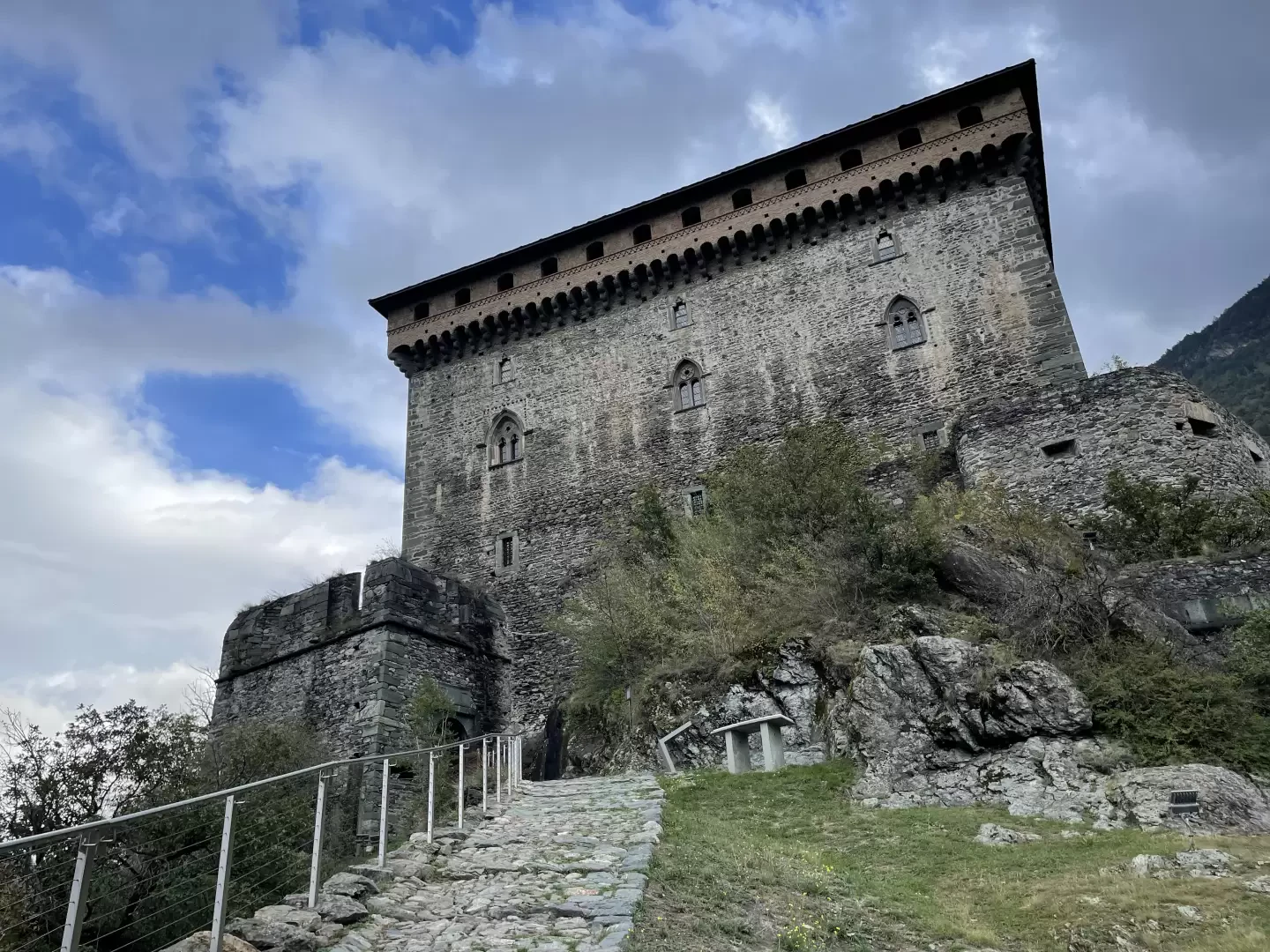
Verrès Castle, from Piazza Ceretto

Edited by:
Massimo Martini
Updated at: 08/07/2024
Access
At the motorway junction of Verrès, enter the roundabout and take the first exit. Proceed on the main road in the direction of Turin for about 450m until you reach a new roundabout. Take the second exit and, after 100m, you will find a free car park 🅿️ in Piazza Ceretto.
[0h02'] - [0.65km]
How to get there with GMaps
How to get there with Apple Maps
The information provided here has been verified as of the date of the route survey. Before setting off, it is advisable to ensure that no substantial changes have occurred on the route to the starting point. We therefore recommend the use of the satellite navigation apps provided by Google or Apple for up-to-date and detailed directions.
Introduction
During the ascent, interesting views of Verrès and the lower Val d'Ayas can be appreciated.
Description
0h00' [0.00km] From Piazza Ceretto proceed towards the village of Verrès, first passing alongside a park and then taking Via Frères Gilles. Cross Via XXVI Febbraio and continue along Via Frères Gilles following the signs for Route B to the castle as you enter the medieval village. The road narrows and after a turn to the right you join Via Francheté near a fine fountain 💧, which you follow to the left until you reach Via Duca d'Aosta. Turn right and follow the street until you reach Piazza Emile Chanoux where the "Catherine Ball" is held during the Historical Carnival. Reach the double flight of steps where there is a bust of Iblero di Challant and go up one of the two ramps until you come to the Tasso di Verrès (Taxus baccata L.), a monumental tree that is almost a century old, and take an alley with cobblestones before turning onto a paved lane where you will come to a marker post with a sign. Follow the little road, turning left as far as Le Crest, where it becomes a beautiful mule track. Continue on a moderate ascent into the impluvium until you reach the houses of the small hamlet below the manor house.
0h20' [0.85km] Turn left and take a nice mule track to the entrance gate of the castle 0h25' [0.99km].
The descent follows the same route as the ascent 0h20' [0.99km].