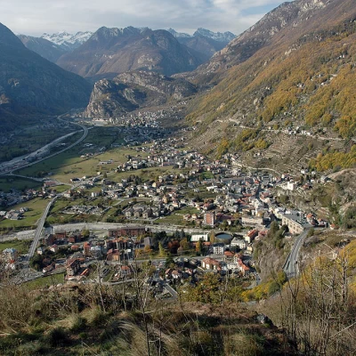
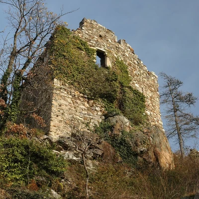
Suzey Castle, from Pont-Saint-Martin
Access
After 150m from the motorway junction exit at Pont-Saint-Martin, turn right and take the second exit at the first roundabout. A little further on at the second roundabout: take the third exit, and enter the town of Pont-Saint-Martin. After a few hundred metres, turn right onto for the Valle del Lys. Continue through the village of Pont-Saint-Martin for another 500 metres before turning right off the regional road. Continue straight on for about a hundred metres, cross the Lys in front of the Roman Bridge and leave your car in the car park 🅿️ in Piazza IV Novembre, which has some spaces with a 60-minute disc zone and the remainder in a blue zone. There are other free car parks nearby.
[0h03'] - [1.4km]
How to get there with GMaps
How to get there with Apple Maps
Pont-Saint-Martin can also be reached by bus 🚌 with the company Vita Group, with the Aosta - Pont-Saint-Martin line: stop at the point of departure and by train 🚊, with Trenitalia, line Turin - Aosta.
The information provided has been carefully checked on the date of the route survey. However, you are strongly advised to check any changes that may have occurred since then, especially regarding the route to the point of departure. Before embarking on your journey, it is advisable to consult up-to-date navigation tools for accurate and up-to-date directions. We recommend the use of satellite navigation apps, such as Google Maps or Apple Maps, to ensure the most accurate and safe route.
Introduction
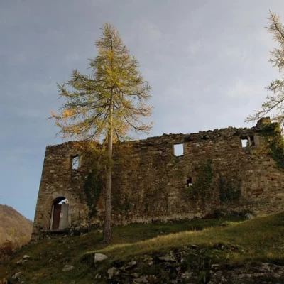
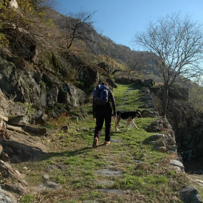
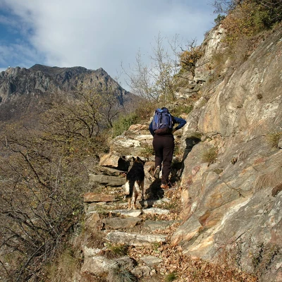
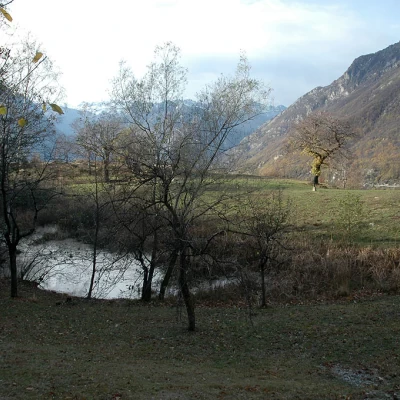
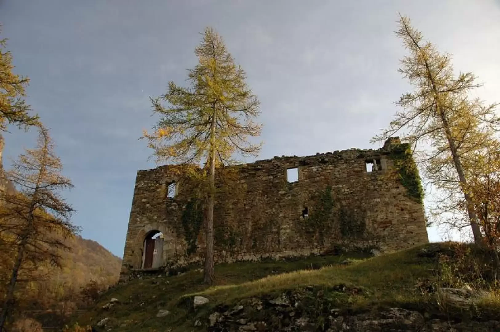
Interesting itinerary at the entrance to the Aosta Valley. Along the way, you can breathe in the air of the past as you march along a splendid paved mule track. After passing the special nature reserve of the Holay Pond, you reach the castle, now reduced to ruins, which, perched on a rocky knoll, exudes sinister sensations.
Few things are known about Suzey Castle. Belonging to the Vallaise family since the 13th century, it was often used by landlords to confine troublesome characters, which is why sinister legends have always hovered around this building...
Description
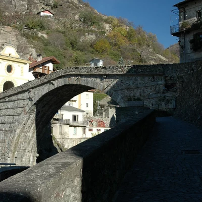
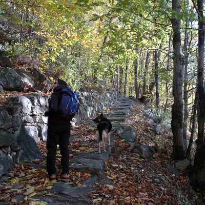
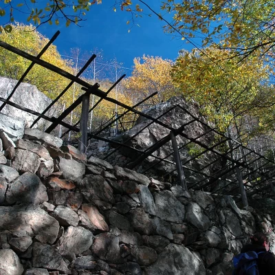
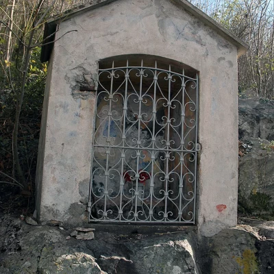
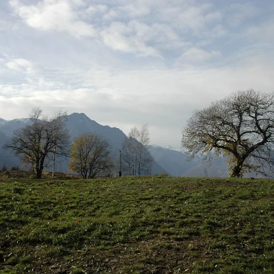
0h00' 0.00km Cross the bridge and, at the end of the bridge, turn left onto the paved road that climbs up the orographic left of the Lys stream to reach the characteristic Roman bridge. Turn right and climb up a narrow lane that, having passed a portico, soon emerges from the built-up area. On reaching the last dwelling, the lane turns into a mule track and begins to climb up towards the former power station above the village. The path is very wide and well-maintained and with a series of hairpin bends reaches the building of the former power station and joins the regional road for Gressoney. Once you have reached the road, follow it, continuing to the left, for about fifty metres until you come to the beginning of an agricultural track that after a few metres reaches the carriage road for Ivery: follow it, continuing to the right until you come to the start of a new stretch of mule track. One begins to ascend the beautiful paved mule track through the beech and chestnut forest. After an initial uphill section, the route encounters a short flat section bordered by a metal railing and then begins to climb again on the long steps created in past centuries to facilitate the journey from the villages above. Along the way, one also encounters the characteristic pergolas on which the vineyards were planted: they are now in a state of abandonment but still exude toil and history, recalling the times when people tried to make the most of these impervious territories to obtain relatively low yields, only for subsistence. Slowly the mule track climbs up the forest until it reaches an oratory: by now the forest has thinned out, and pastures can be glimpsed; we climb up them and soon reach the village of Ivery (670m) 💧.
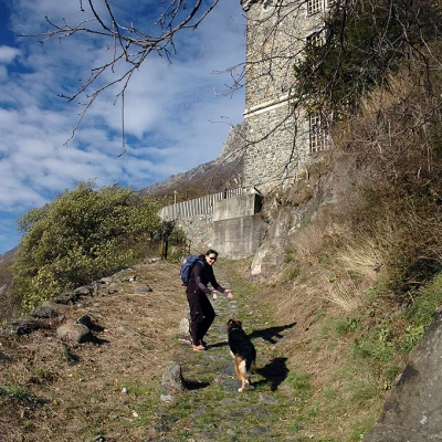
0h50' 1.56km When we reach the village, we follow the road along a hairpin bend to the left until we reach a fountain, near which the trail starts again. Continue for a short stretch that is almost flat until you come to a flight of steps near an aqueduct: climb up it and take the beautiful mule track again, which winds its way across the rough and barren, mainly rocky slopes. Easily negotiate several jumps on a comfortable path until you reach the pleasant plateau where the Holay Pond Nature Reserve is located (774m).
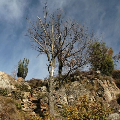
1h10' 2.20km Just above the pond, near a ruin, a small agricultural road starts out and quickly joins up with the tarmac road. Here, continue to the left through a short clearing with a few scattered dwellings: continue along the small road. The remains of the castle are already visible and can be reached from the village of Valeille: at a hairpin bend on the left, a track starts that passes between some houses and continues in the direction of the castle. Go round the hillock on which the old building stands and, following the tracks of the path, climb up it until you reach the walls of the old Suzey castle (840m) 1h30' 2.49km .
The return is along the same route as the outward journey 1h00' 2.49km .
Points of Interest
- Devil's Bridge
- Ivery
- Holay Pond Preserve
- Suzey Castle
Collections
Riferimenti Bibliografici
- Castelli valdostani - Zanotto André -
- Le Valli del Monte Rosa - Zavatta Luca - L'Escursionista editore, Rimini, 2002
