Arolla P.N.G.P. cottage


Edited by:
Giancarlo Beretta
Updated at: 09/10/2025
Access
You take the A-5 Turin-Aosta motorway, passing the Aosta East barrier to exit at the next tollbooth at Aosta West; having reached the valley floor, turn left following the signs for Courmayeur and, having passed the municipality of Aymavilles, turn right taking the junction for Valsavaranche. After passing Introd, continue for a few kilometres passing a few avalanche barriers where, at the end of the quarter, leave the car in a wide widening just to the right of the exit near the village of Fenille.
.Introduction
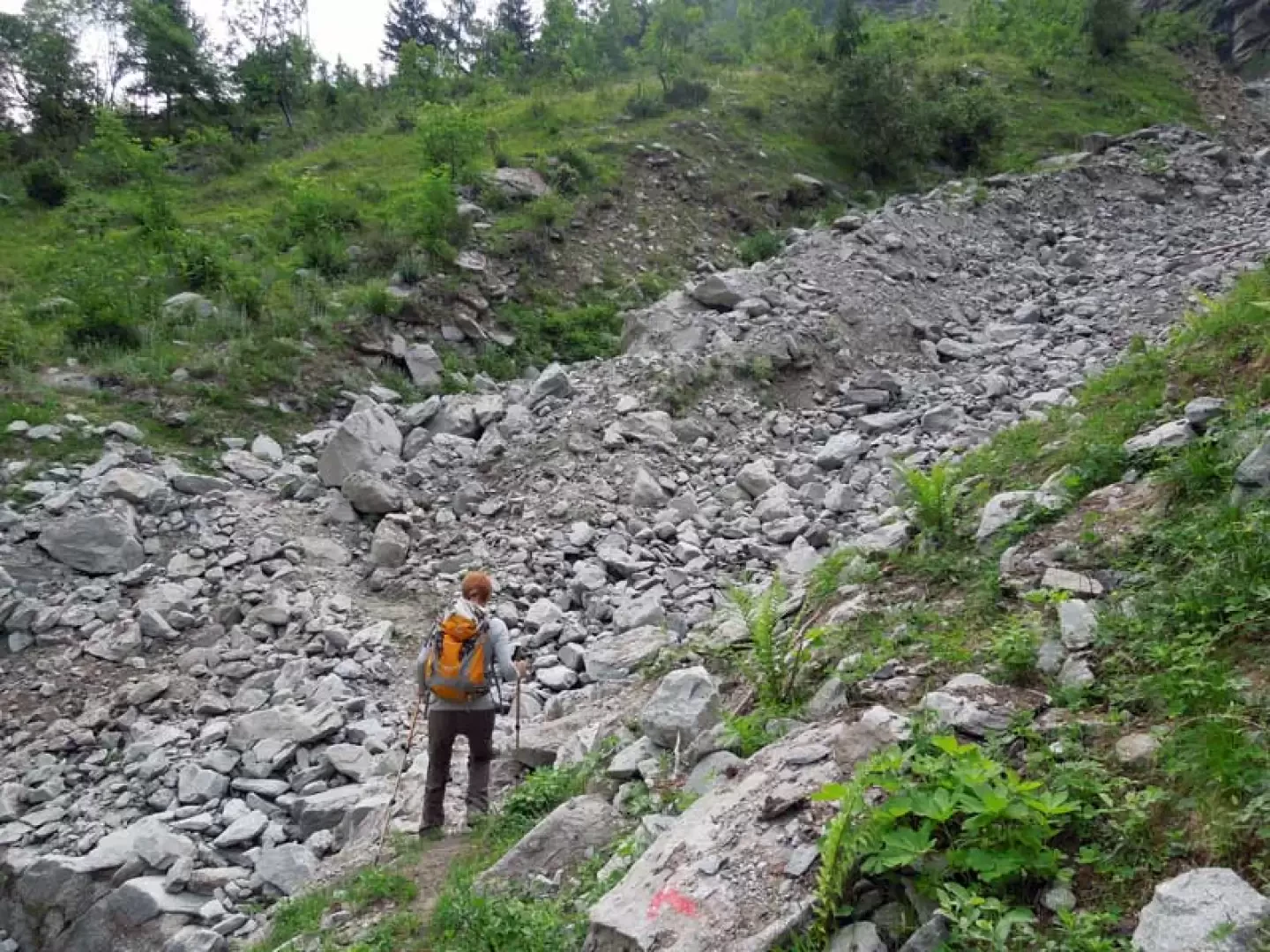
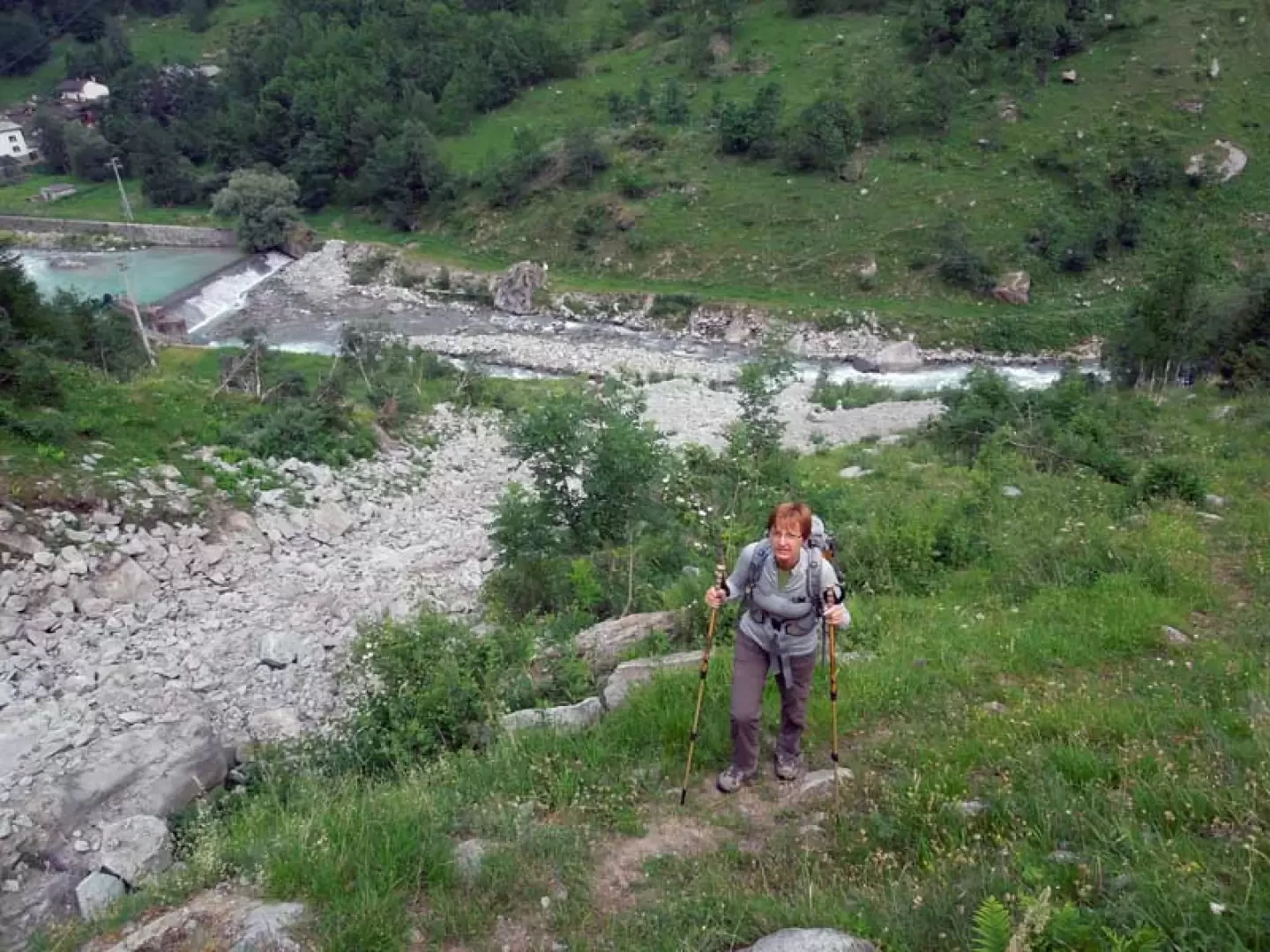
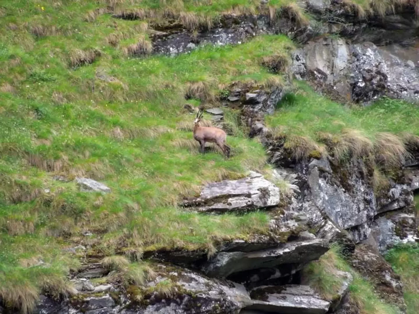
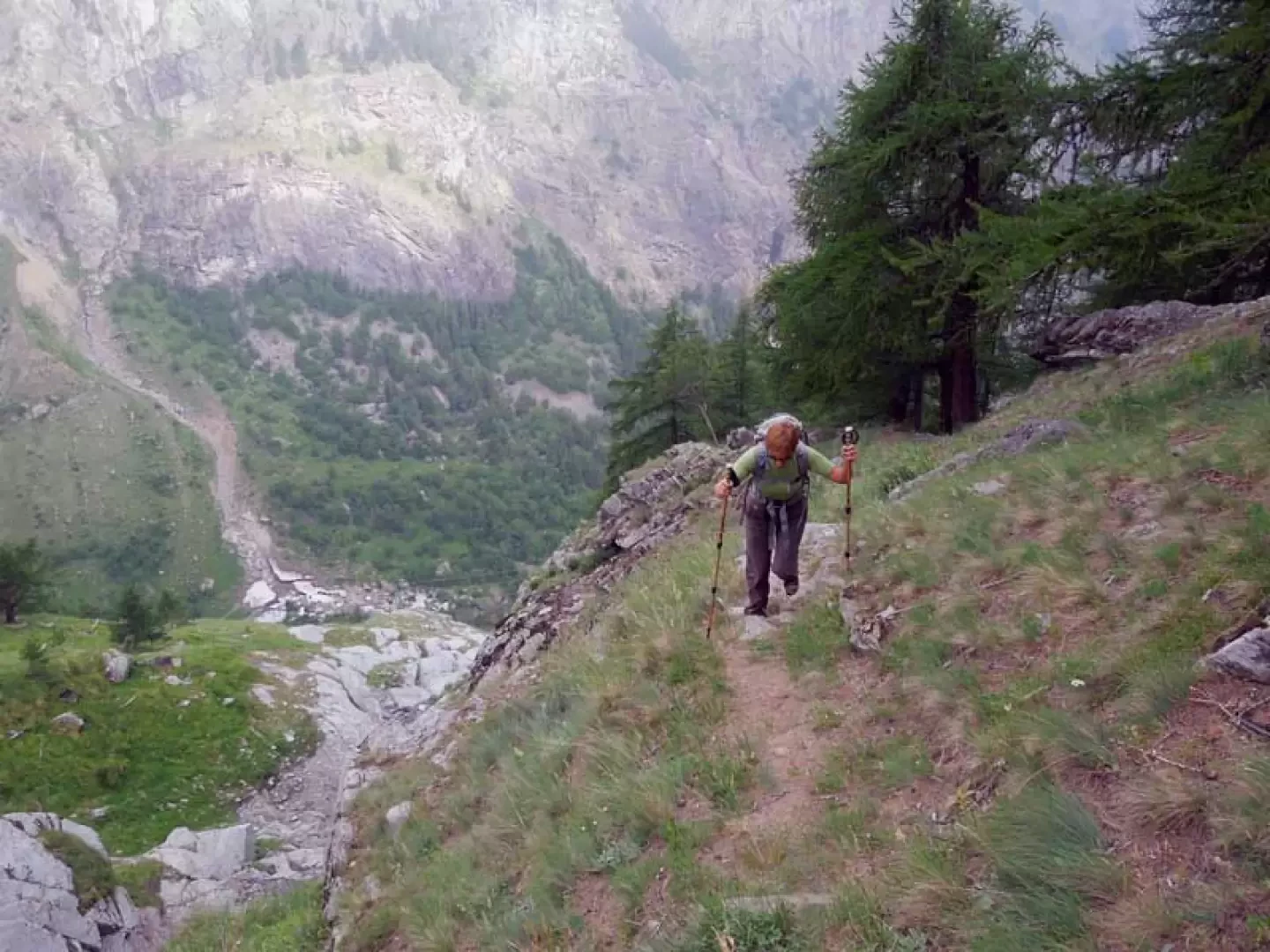
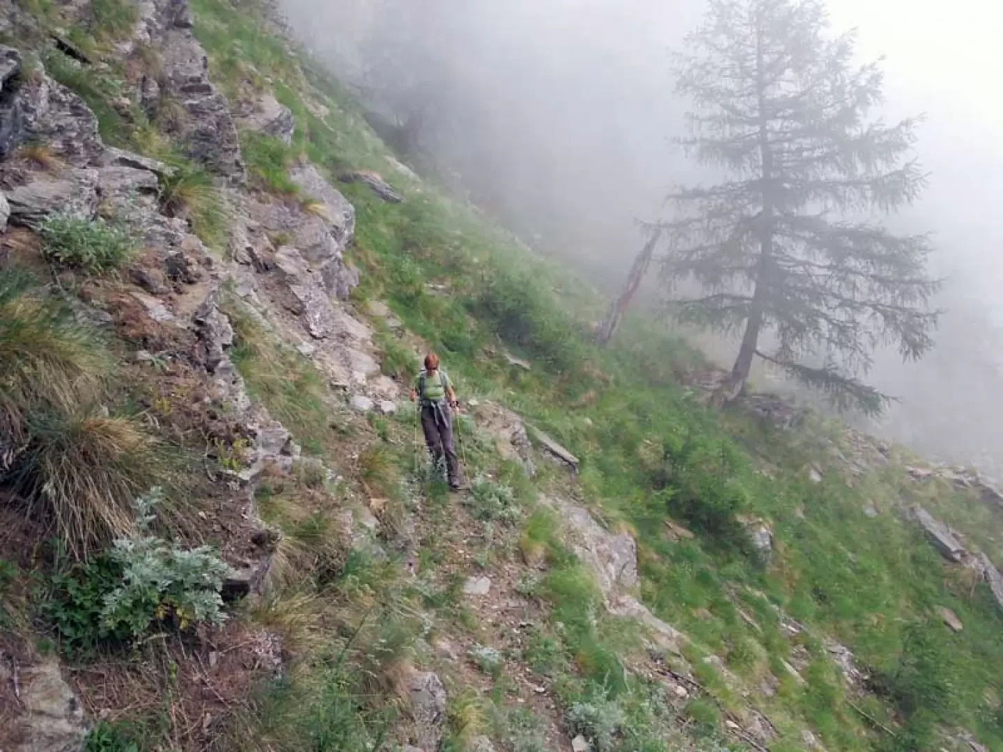
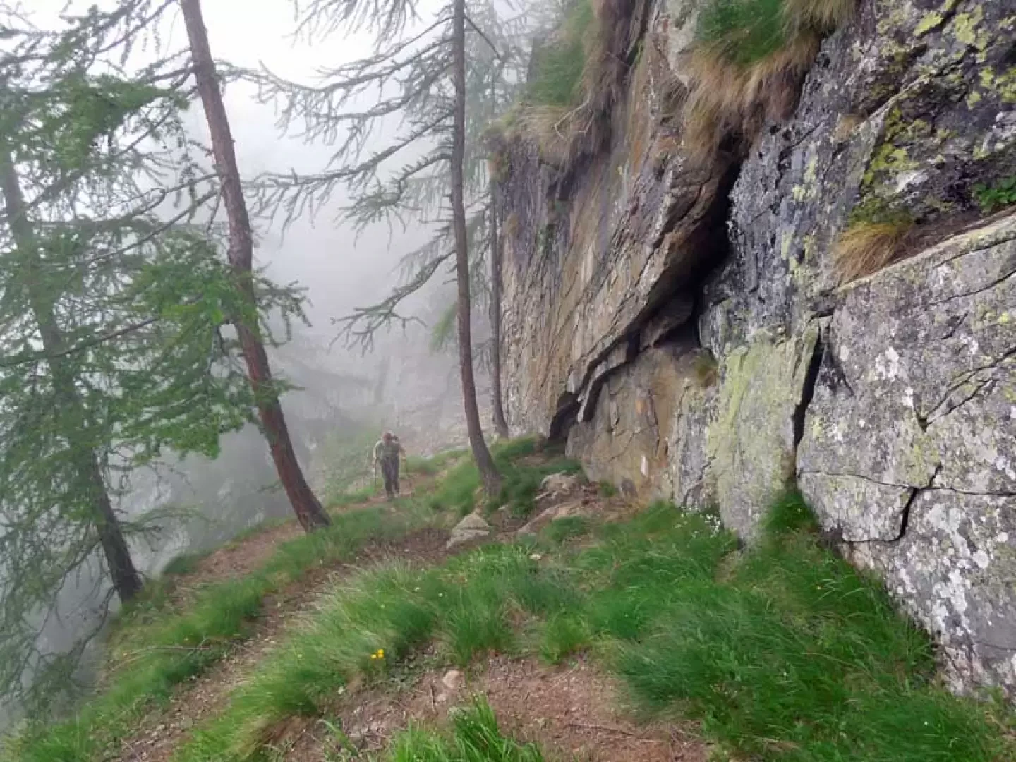
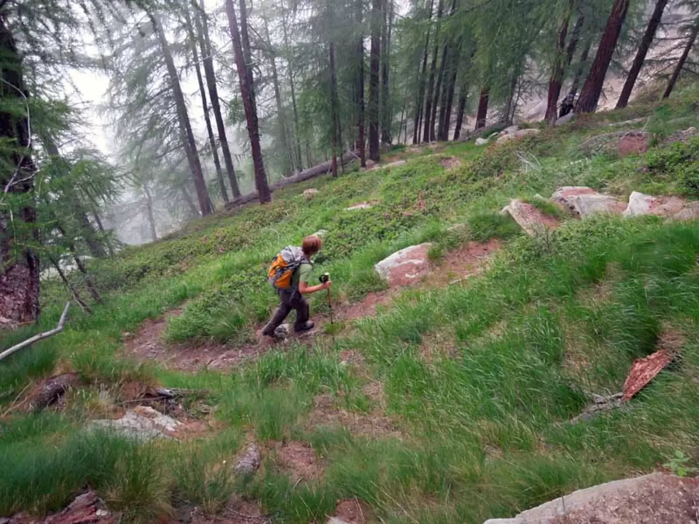
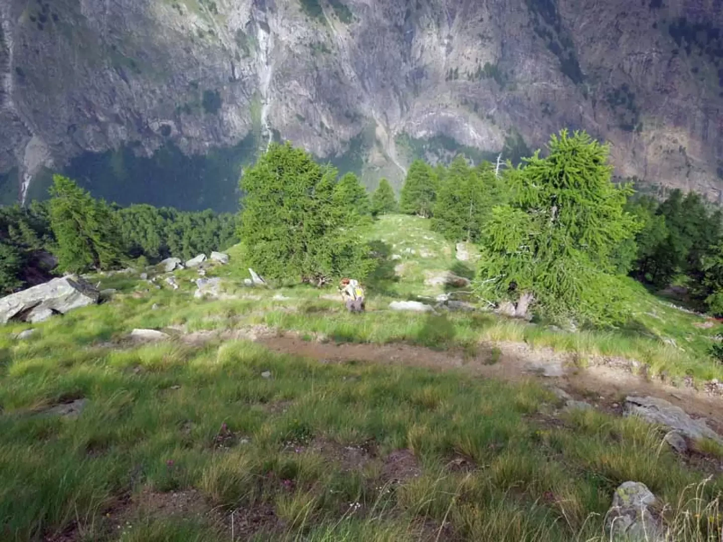
The ascent to this scenic hut in the Gran Paradiso National Park takes place on the steep wooded slopes of mid-Valsavarenche, where long rocky gullies are skirted and steep wooded and grassy slopes are traversed; the slope, which is always steep, allows no respite except for a few dozen metres, and consequently the progression is always quite tiring. Recommended for lovers of 'wilderness', on this excursion it is possible to observe specimens of alpine fauna already at the edge of the forest from the first few metres of the ascent, while at the top, with the aid of binoculars, they can be spotted on the slopes below Punta Valletta. The view from the hut is very beautiful over the nearby Bioula, Ran and Chamoussiere peaks on the opposite slope, while further on, the eye can sweep over the chain that stretches from Mont Blanc to the Grandes Jorasses and on to Mont Dolent.
Description
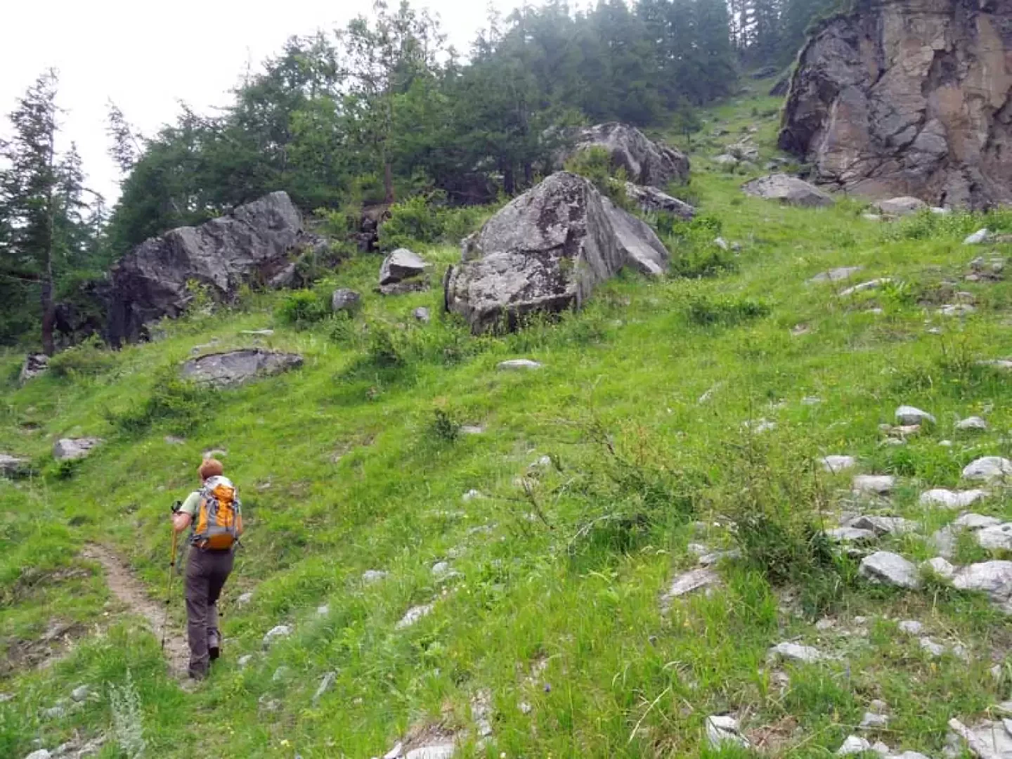
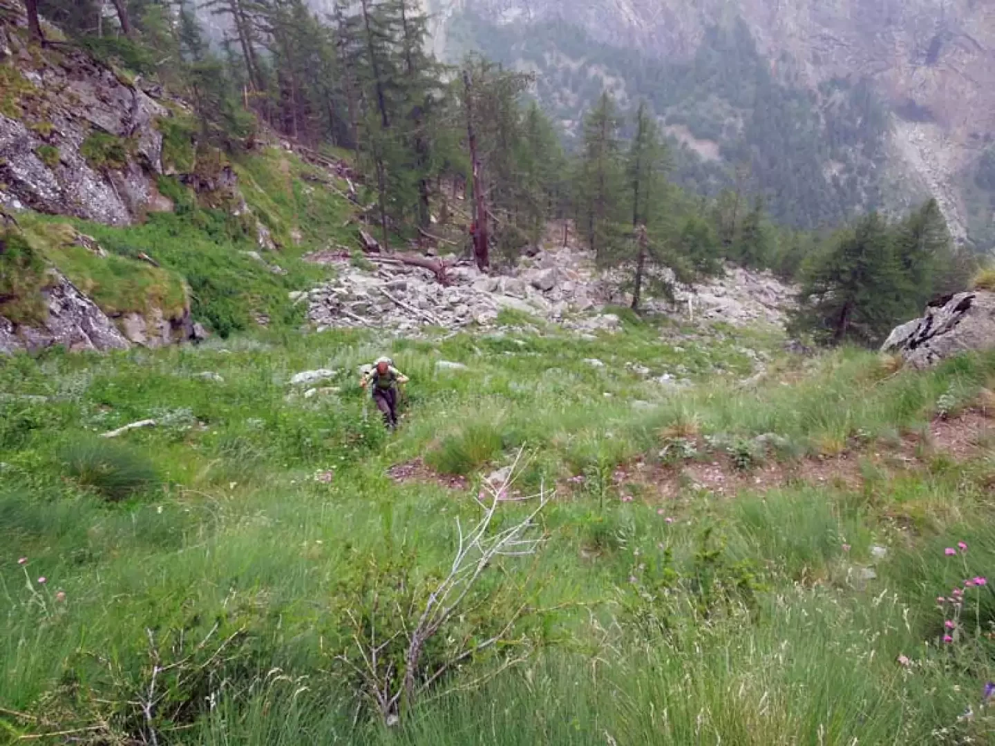
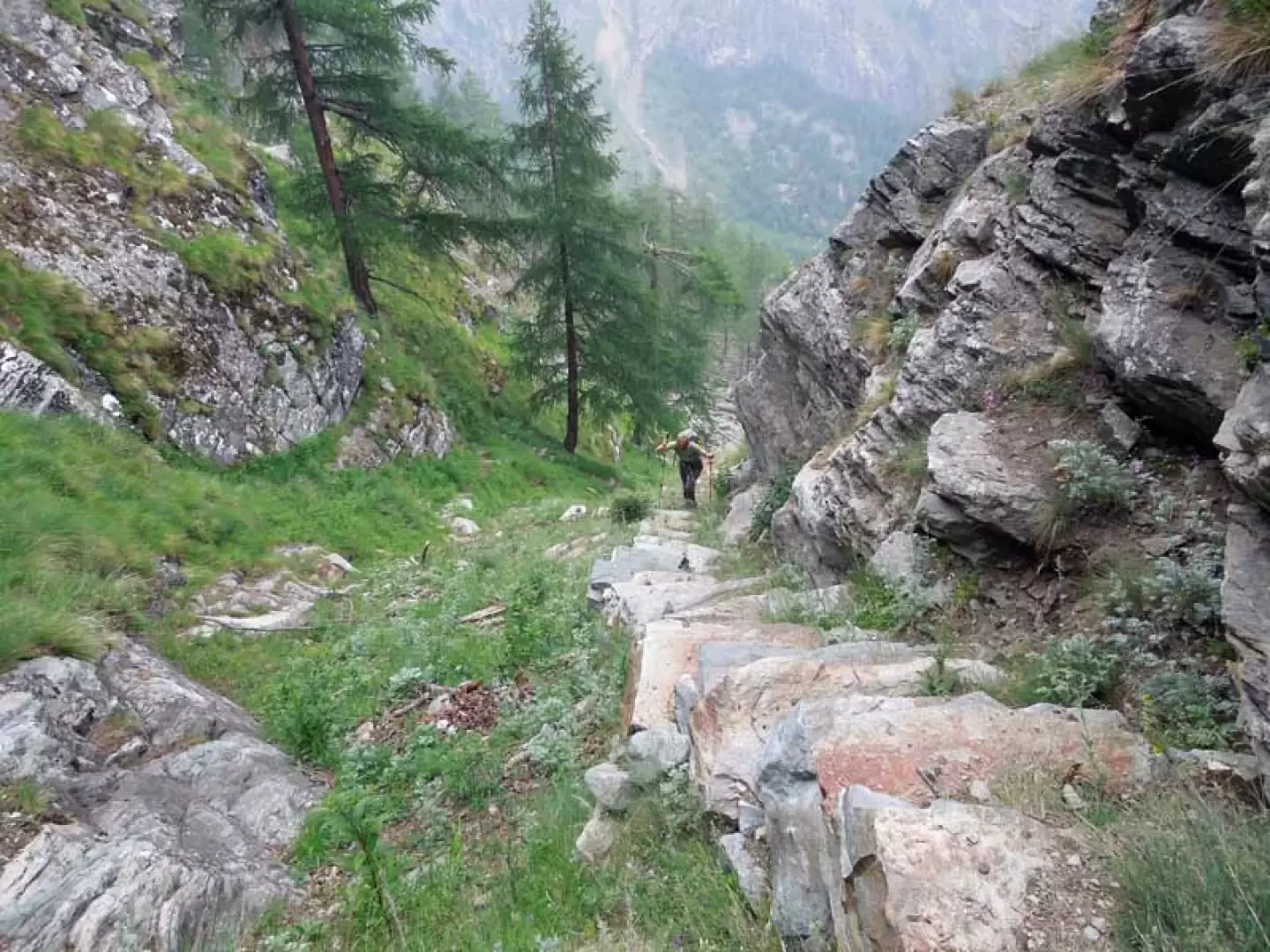
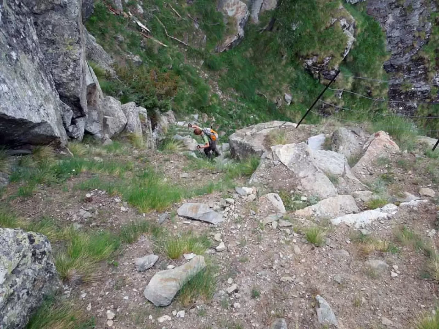
From the widening, cross the road to the marker that marks the beginning of the path that enters the forest for a short distance, skirting the tunnel. At the end of the stretch of woodland, cross a wide gully and then pass over the meadows opposite, where you come to a high-tension pylon, at which point you turn right to climb up the grassy slope that runs alongside the gully you have just crossed; when you come to the rocky rampart, keep to the left and start to climb up the steep coniferous wood with difficulty, coming close to the large gully a couple of times. Momentarily leaving the forest, we return by bending to the left and crossing a gully subject to avalanches, immediately resuming the steep ascent to the right; we now enter a steep grassy gully which, with the help of stone steps, we climb up, arriving at a point where there is a metal handrail that protects the path from exposure. Once past the steps, the path flattens out for a few metres, making a short traverse over friable ground, and reaches a rocky bastion where the path, skirting it, climbs steeply with narrow hairpin bends. At its highest point, turn right and, where the wood thins out a little, climb laboriously again among the rhododendrons, coming out onto a wide, panoramic grassy ridge that you follow with steep hairpin bends; having reached a point where the bends become narrower, you pass a more pronounced promontory where the panoramic hut is located, which can only be seen from the last few metres of the ascent.
Galleria fotografica