Cabane du Trient

Edited by:
mbuffa
Updated at: 06/05/2025
Introduction
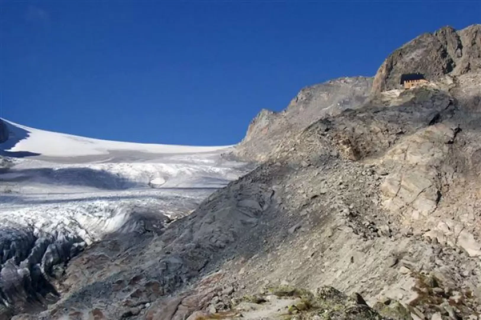
High-altitude route to discover the northernmost foothills of Mont Blanc; the final destination, Cabane du Trient, overlooks the Plateau du Trient.
.Description
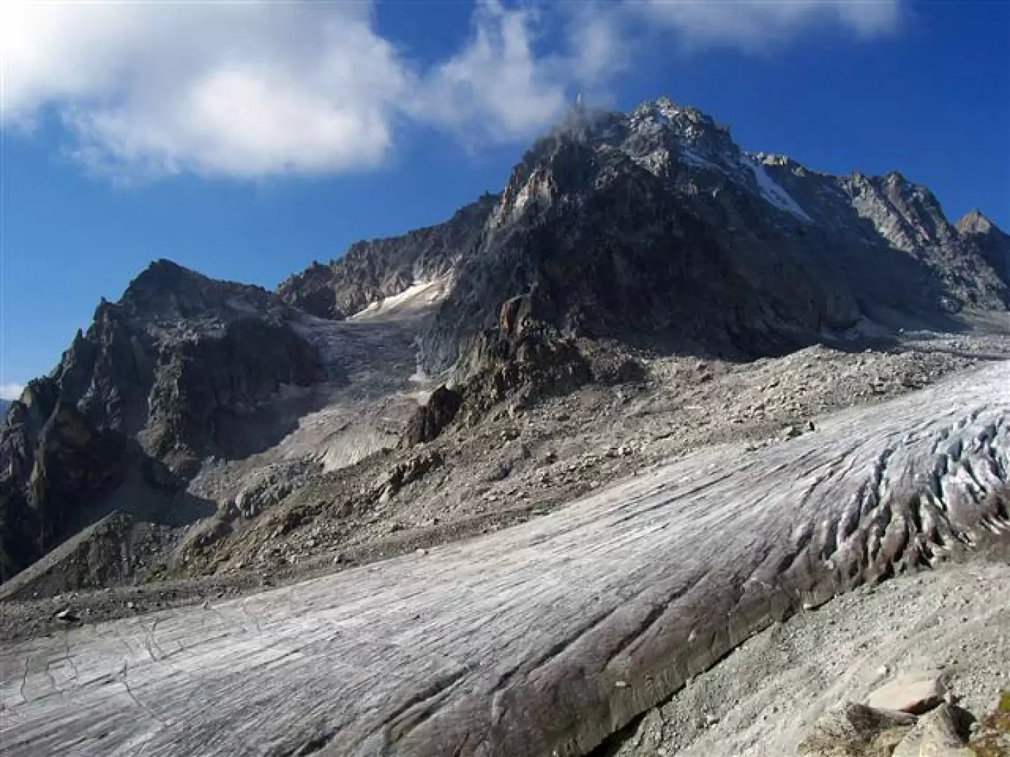
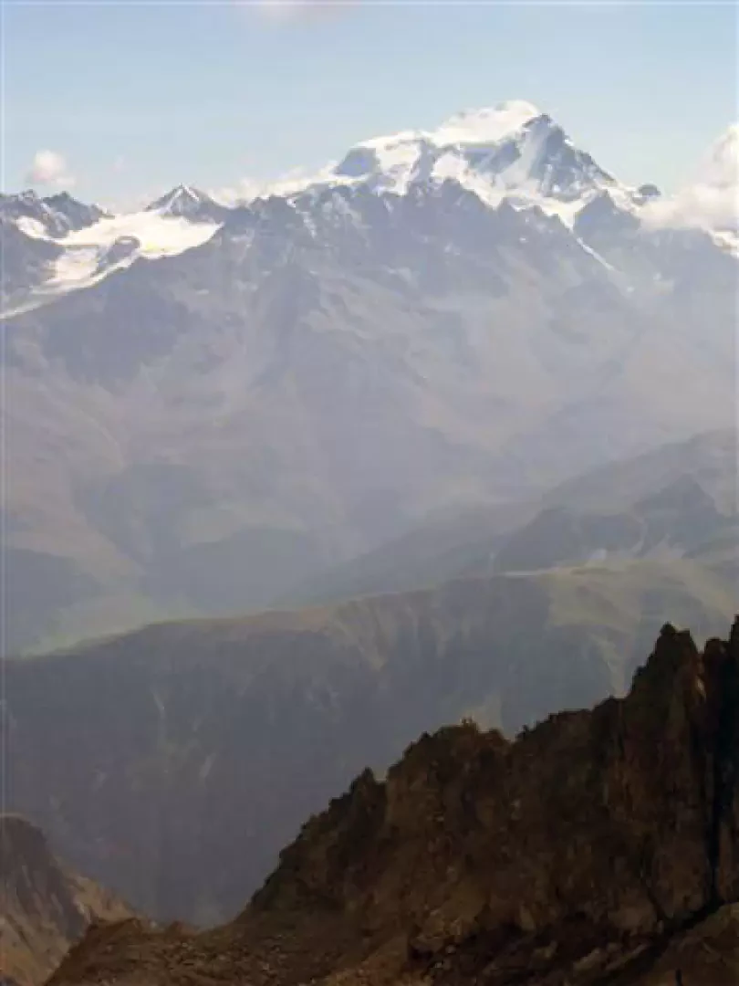
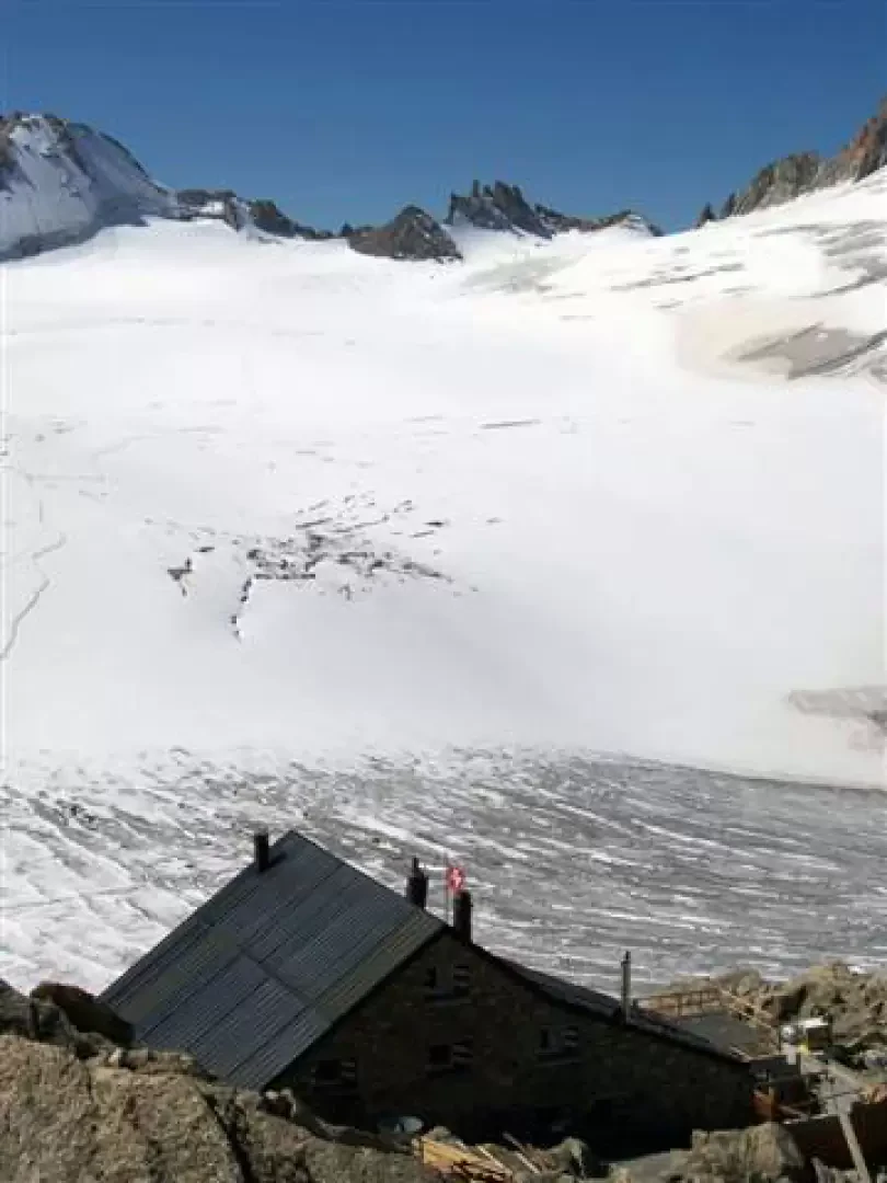
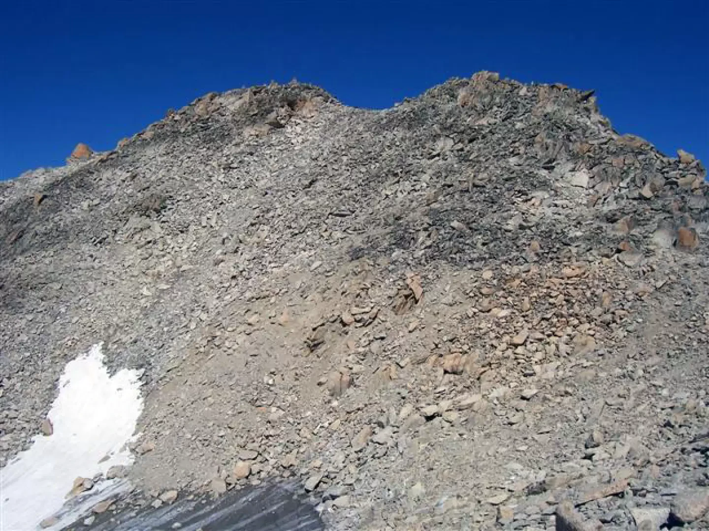
Take the "La Breya" chairlift to an altitude of 2100 metres. Here the path to the Cabane d'Orny starts slightly uphill (red-white signs); this is perhaps the most monotonous part of the itinerary, which runs along the coast on a path that is not very wide and cuts across steep slopes in places (it is possible to spot chamois in the valley below). A few chains have been placed in the sections where ice is most likely to form in the cold months. After crossing the paths to Arpette and to the bottom of the valley (the latter avoids the use of the chairlift but requires an additional 2 hours' walk), you reach a green basin of glacial origin. The well-marked path ascends it, passing around more or less large boulders. At the exit, there is a beautiful view of the Portalet peak, the glacier descending from the col du Trient and the Cabane d'Orny, the first destination of the day (2829m; 2h15'). From the Cabane d'Orny, continue along a fine stony path around a small lake at the top; follow the red signs and cairns to gradually gain height by easily climbing up large boulders until approaching the glacier. Continue following the red signs to ascend, somewhat laboriously, the last slope up to the Cabane du Trient (3170m; 3h30') where the spectacle repays the sustained effort. For a better view, go to the right of the hut on a small promontory (cairns): with more time available, it is advisable to climb up to the Pointe d'Orny (3269m; 0h30') behind, with some care not to move the stones too much along the path. On the way back from the hut, it is also possible to follow the track that leads to the flatter section of the glacier; following the tracks, return to the path at the end of the initial descent slope. From this point, follow the ascent route bearing in mind the chairlift timetable; don't fail to appreciate the view of Grand Combin, Mont Velan and the Swiss Val Ferret.
The return is along the same route as the outward journey (2h30').
General information
Tour:
Trail signposting:
Type of route:
Recommended period of time:
Exposure to the sun:
Galleria fotografica