Bonalex, from Planaval

Edited by:
Massimo Martini
Updated at: 20/10/2025
Access
Leave the motorway and, after 500m, leave the motorway junction, turning right onto the regional road for the Cogne valley. After 450m at the roundabout, take the second exit and enter the national road to be followed for 18.4 kilometres, passing through and skirting the villages of Saint-Pierre, Villeneuve, Arvier, Avise and Derby before reaching a roundabout. Take the first exit and take Via Corrado Gex following the signs for the centre of La Salle. After 350m turn left onto Via dei Romani and, shortly after at the fork, turn right onto Via Col Serena and follow the signs for Chaffieron. Go up the municipal road passing through the villages of Chaffieron, Chateau, Vilarisson, Remondey, Cheverel, Morge and, after about 9.3km, you will reach the village of Planaval. Once in front of the Jolie Bergère chalet, descend a small asphalt road to the small bridge over the Torrent Grand Eau, cross the bridge and turn right to climb up a short stretch of dirt road until you come to a small grassy clearing used as a car park 🅿️ near the stream.
[0h38'] - [30.6km]
How to get there with GMaps
How to get there with Apple Maps
These directions are based on direct verification at the time of the route survey, so the information should be checked before starting the hike. We recommend using a GPS navigator or map app on your smartphone to get up-to-date and detailed directions.
Introduction
An excursion to discover the rural world of Valle d'Aosta. The route along a comfortable cart track allows you to observe the pastures and alpine pastures immersed in the splendid setting of Comba di Planaval.
Description
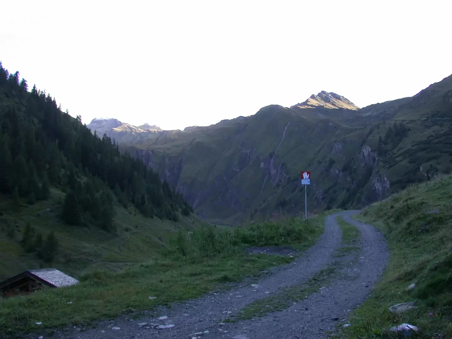
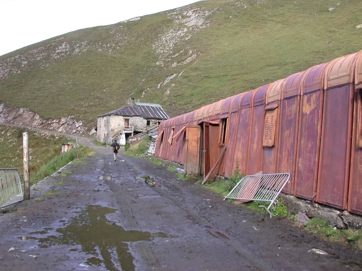
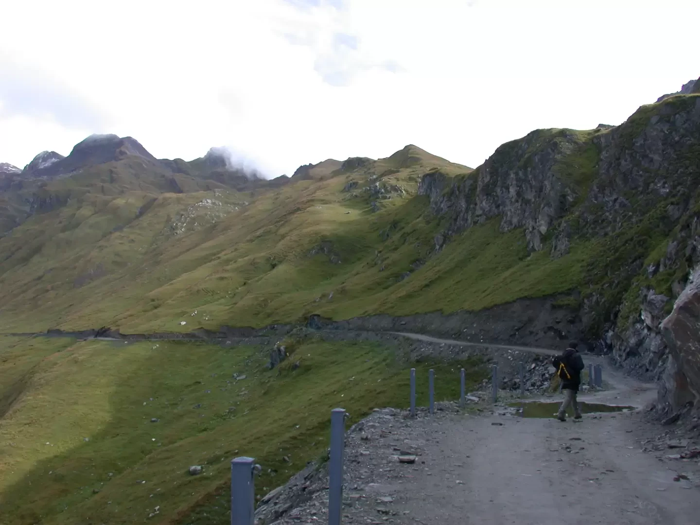
[0h00']T1 Leaving the car in the Planaval forecourt (1750m), take a farm track
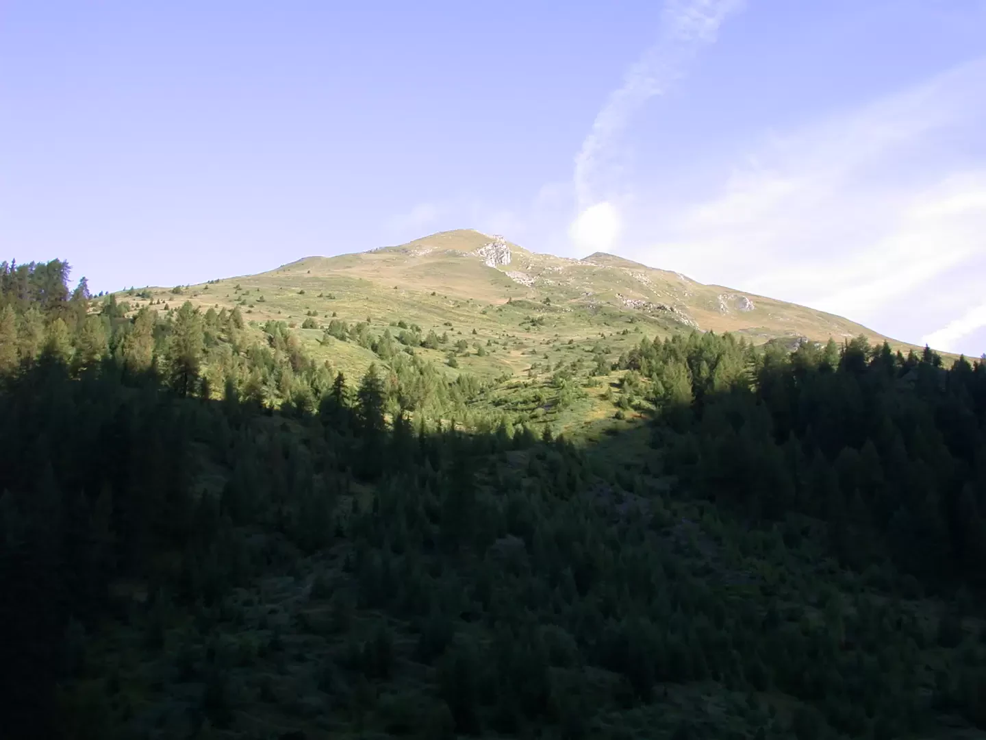
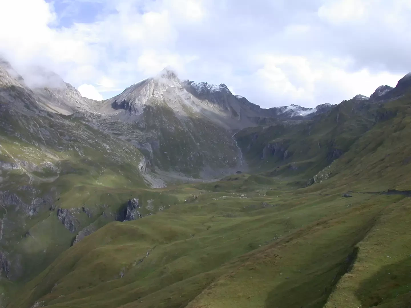
that climbs up the orographic left of the Comba di Planaval. After a couple of initial hairpin bends, the road climbs the ridge halfway up the mountainside. Having passed the cottage of Montagna Bianca (1871m), we march accompanied by patches of alders. We slowly climb until we come to a series of hairpin bends that make us quickly gain altitude. From the road, you can see the lower part of the combe with the Des Eculés alpine pastures and the Bec d'Aouille (2535m) above. After about 0h35', the road flattens out slightly and the Rantin alpine pasture can be seen in the distance. The walk continues until it meets another series of hairpin bends that take us to Alpe Rantin (2333m, 1h00'), shortly after passing a signpost indicating the route to Col Serena.
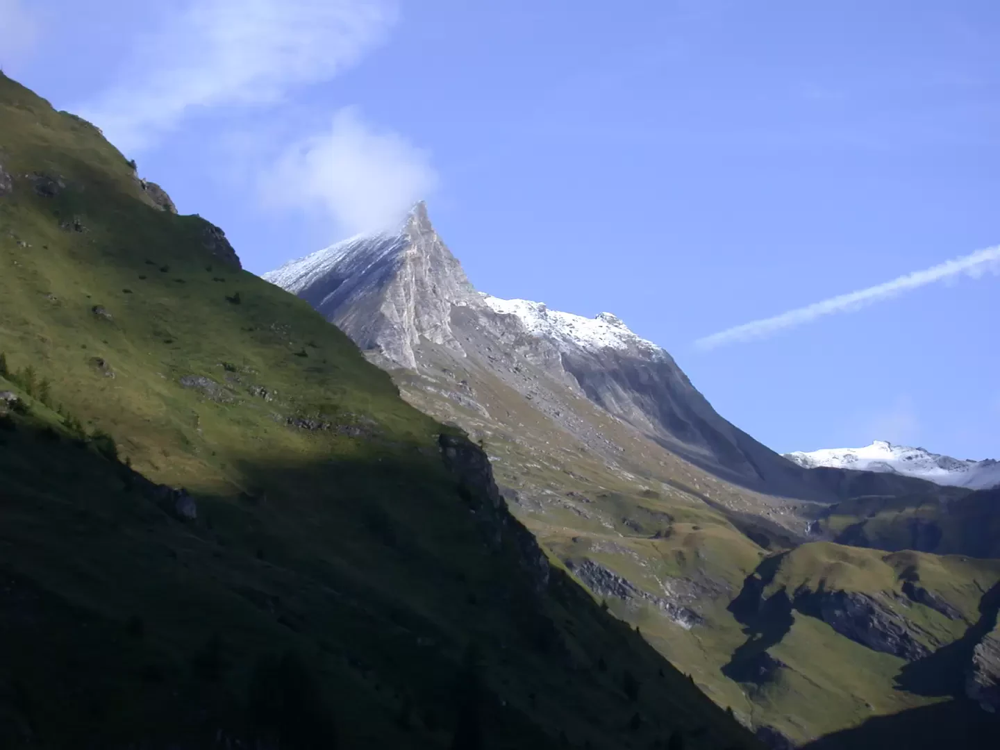
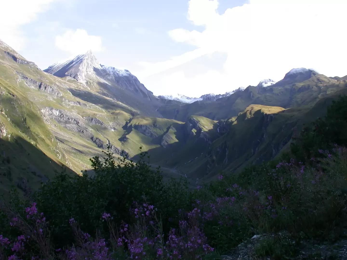
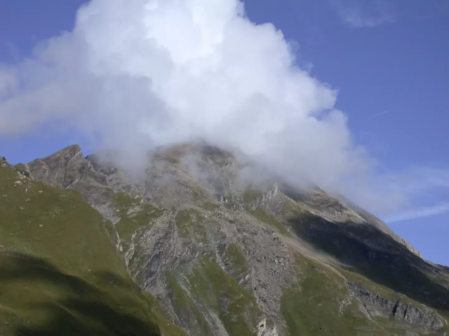
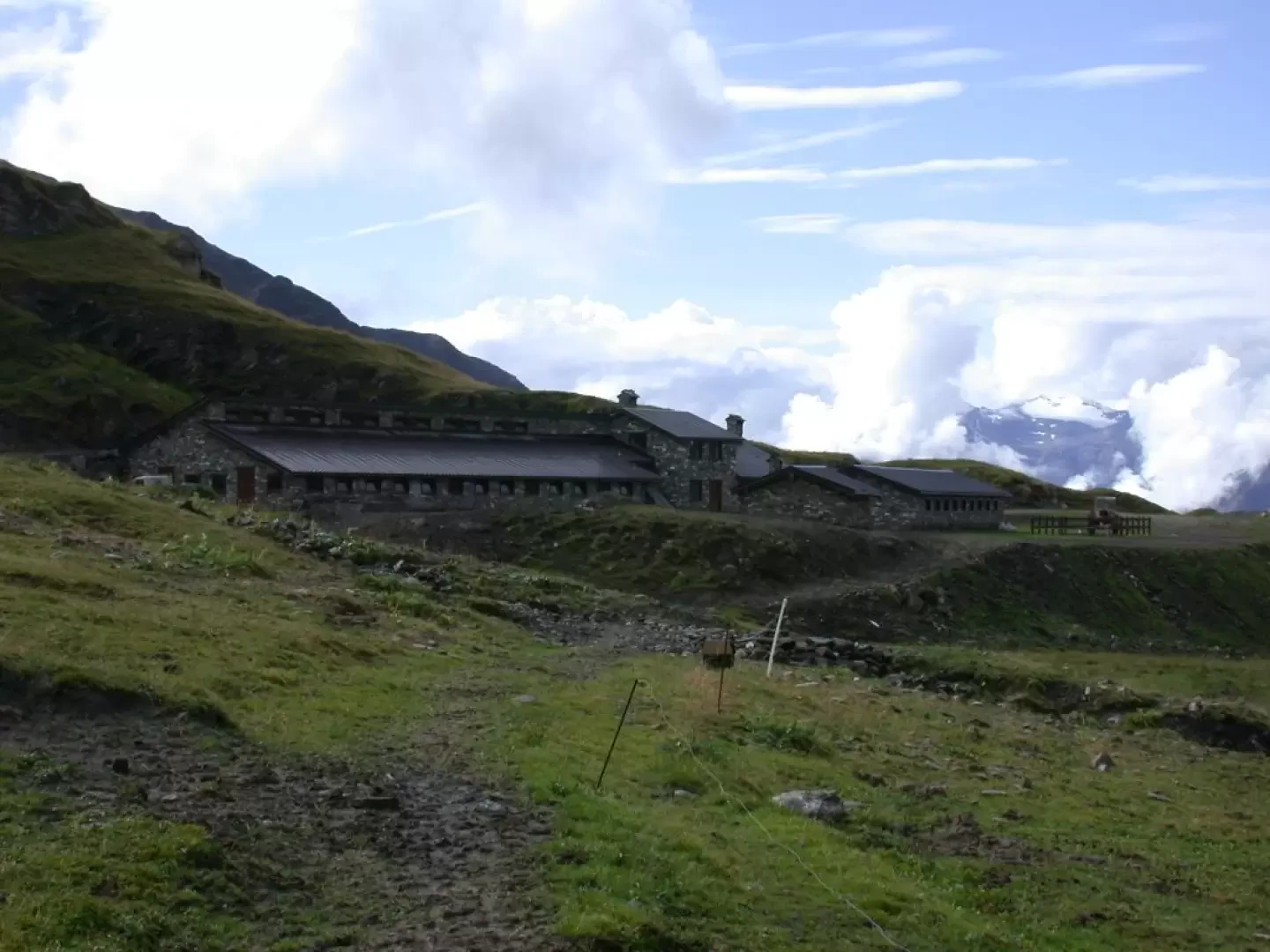
After passing the alpine pasture, the road bypasses a rocky ridge overlooking the valley below and enters the other part of the Comba di Planaval. You can finally enjoy the splendid views of the Grande Rochère (3326m) and the Aiguille de Bonalex (3201m). The road now decreases its gradient and enters the gentle basin surrounded by the austere spires. We finally reach the Bonalex alpine pastures (2349m, 1h30').
The descent follows the same route as the ascent.
Punti di Interesse
Collections
Galleria fotografica