Bocconère damon, from Dégioz

Edited by:
Giancarlo Beretta
Updated at: 30/11/2024
Introduction
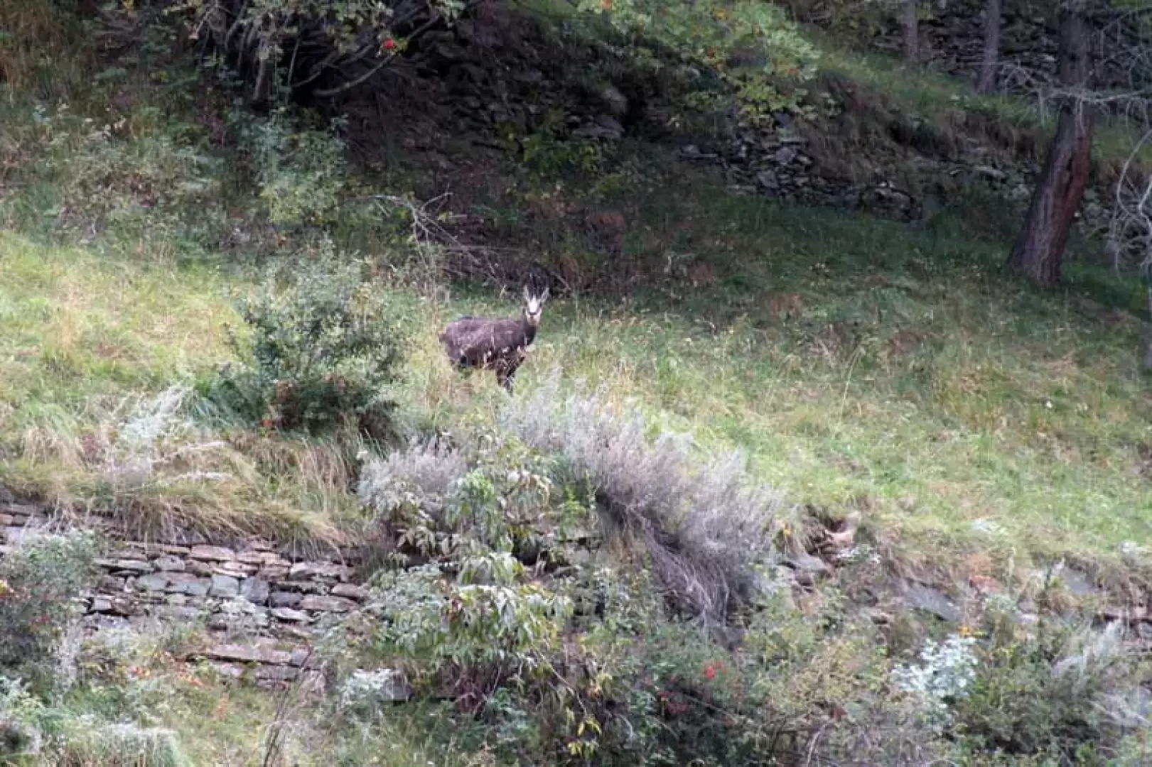
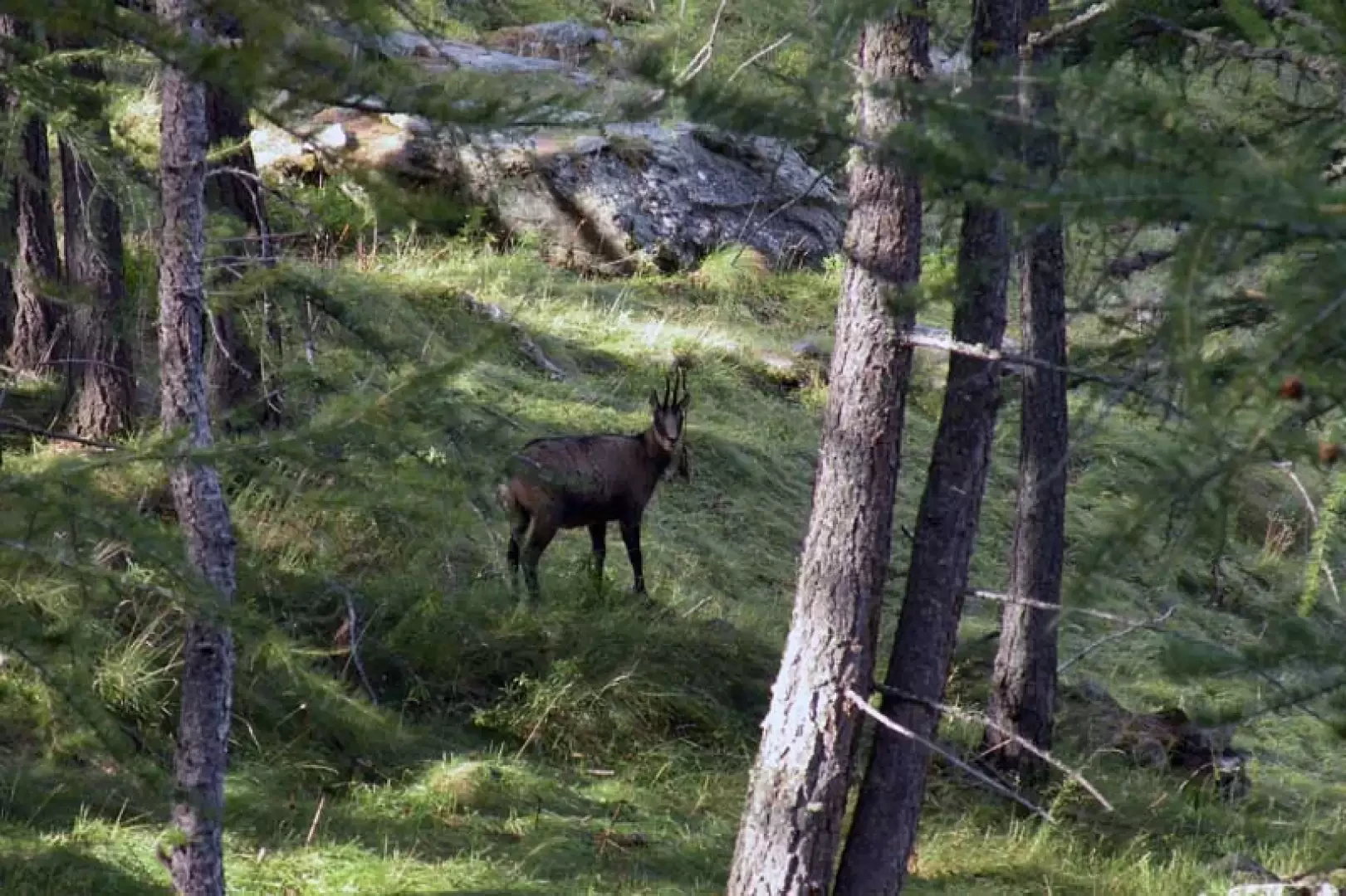
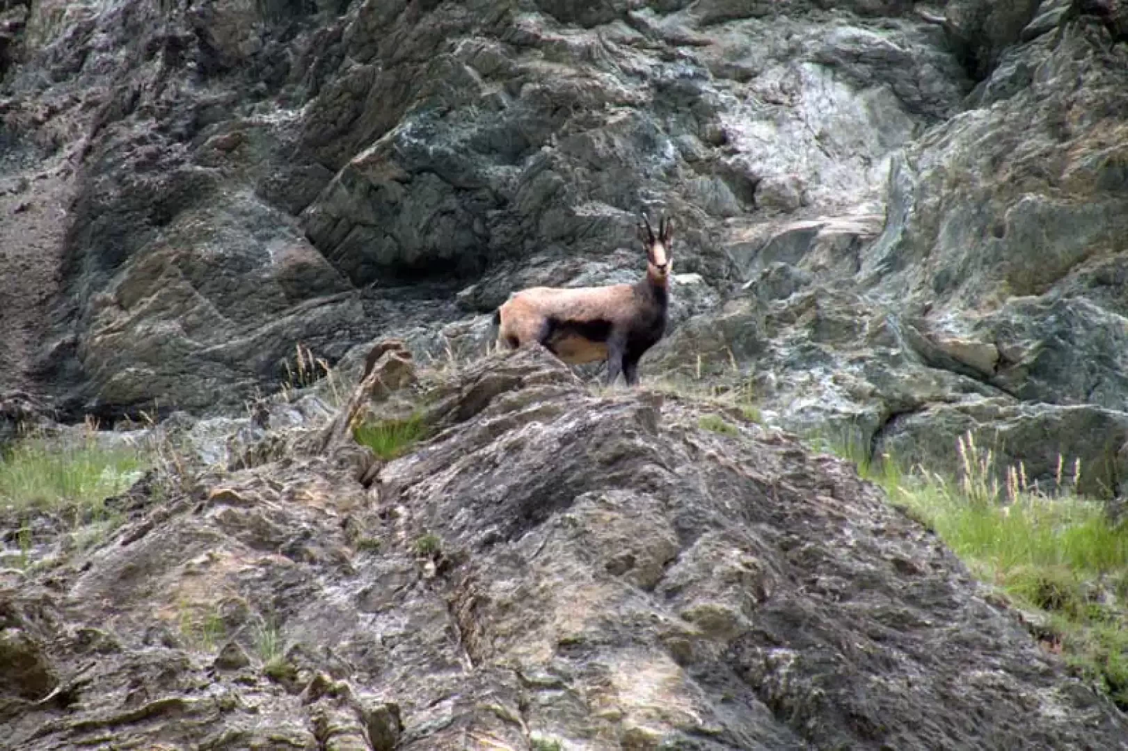
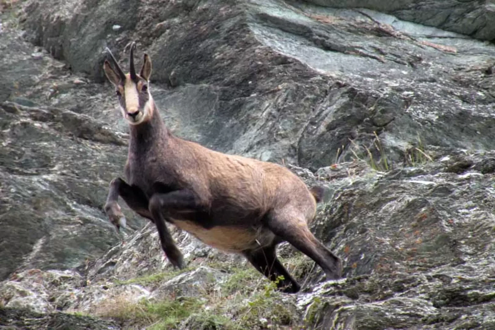
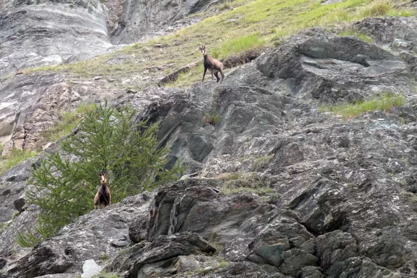
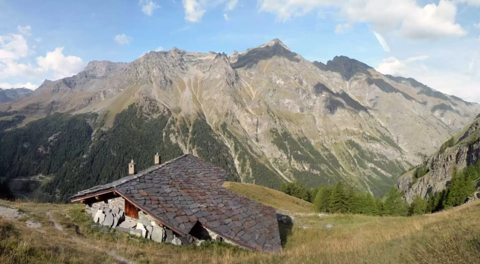
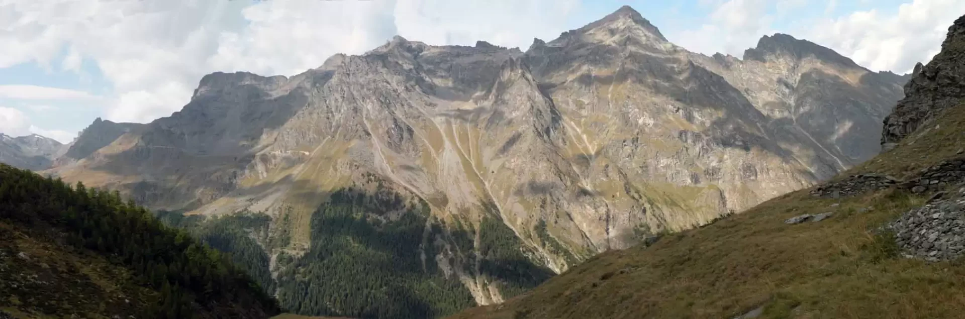
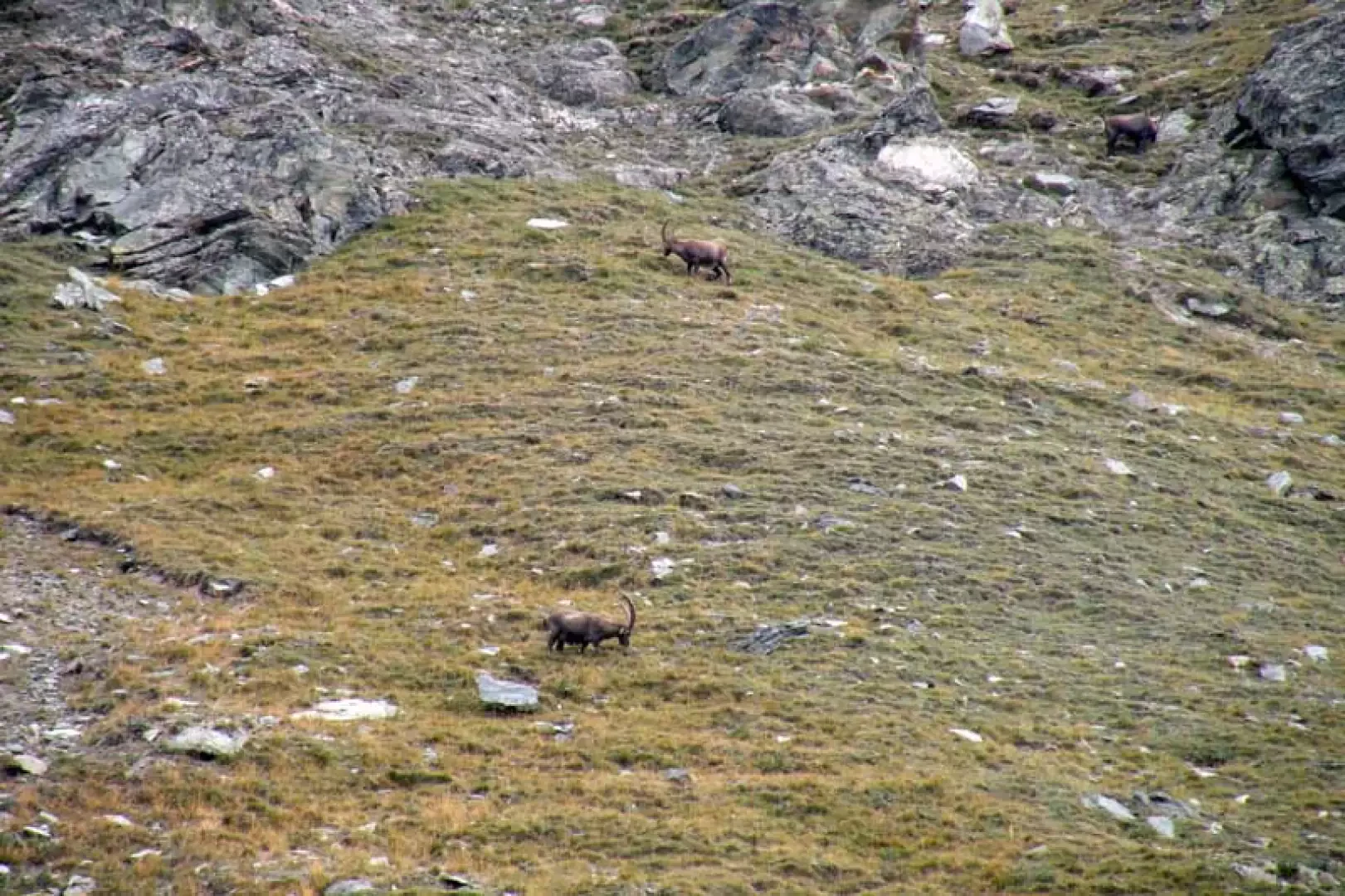
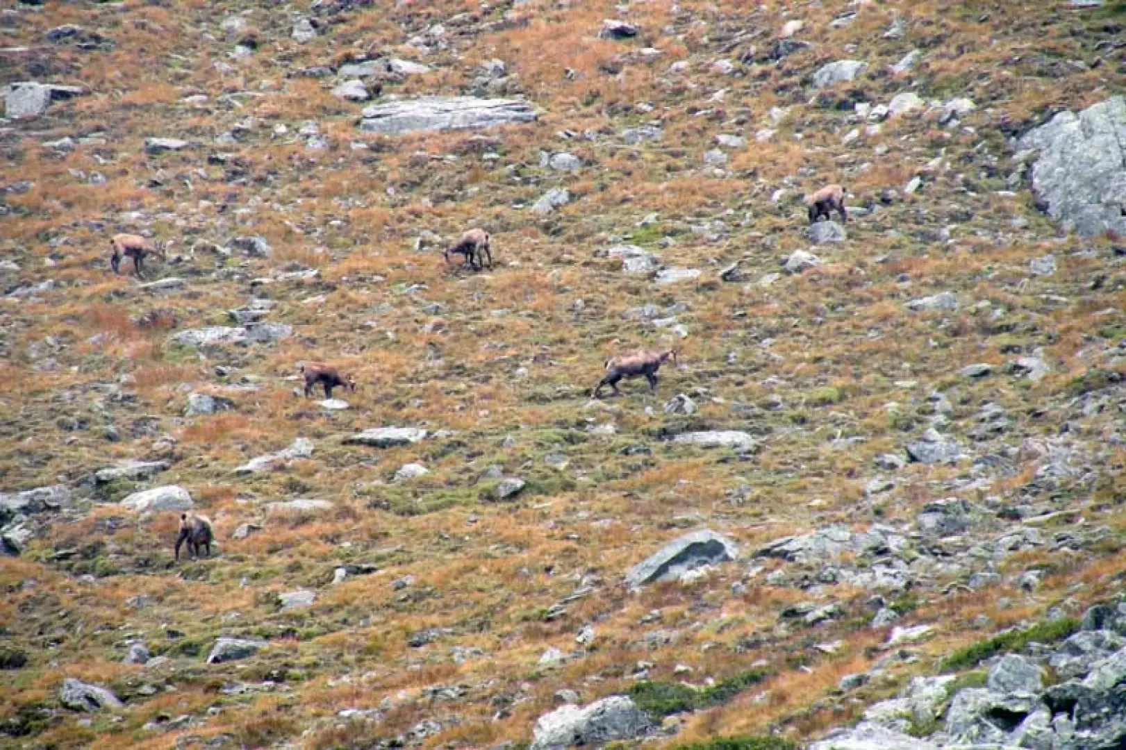
The reference point for this excursion is a panoramic hut in the Gran Paradiso National Park, which is located on a promontory above Degioz with the massive Punta Bioula in front of it; but the real destination may not be clearly defined because, as described here, it is certainly worth continuing at least as far as the upper Bocconere damon pasture and then wandering over the wild adjacent slopes. During this beautiful route, from the start to the highest point reached, one is accompanied by the continuous presence of alpine fauna, many chamois and ibexes, which certainly make the ascent advisable for all wilderness enthusiasts, but above all for those who practice photographic hunting, who will certainly not be disappointed. Last but not least, the beautiful panorama on the opposite side of the valley from the Entrelor peak to the massive Punta Bioula, which rises imposingly in front of the ascent route.
Description
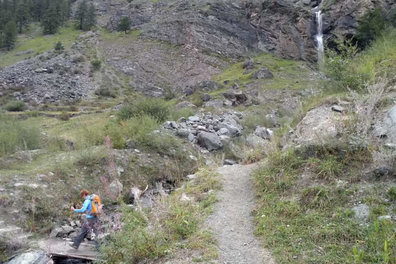
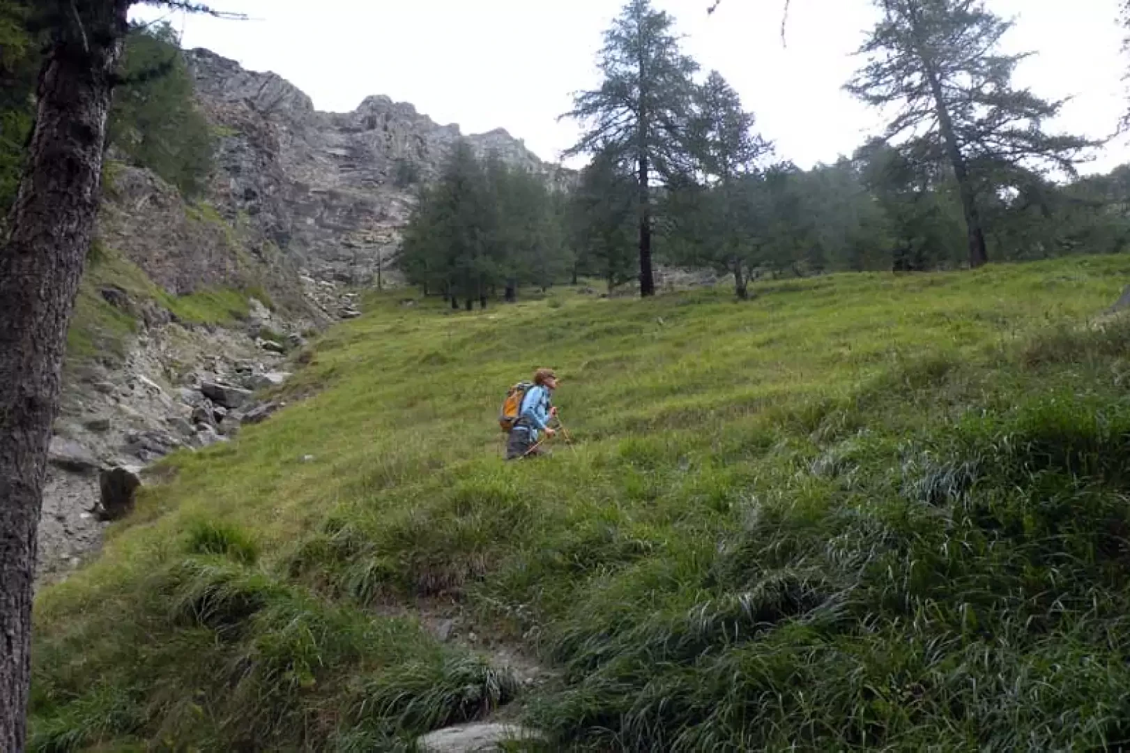
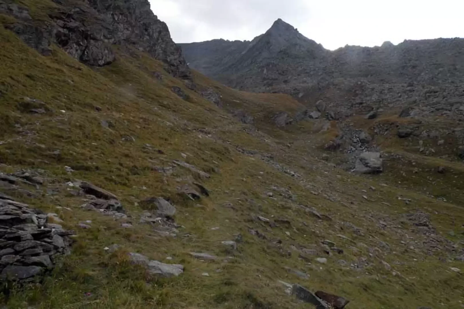
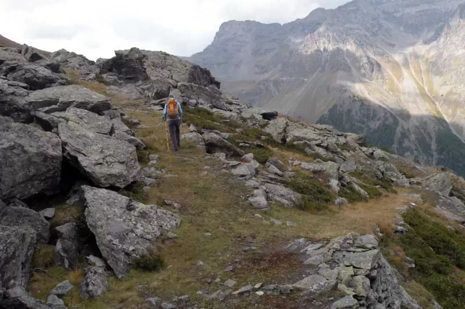
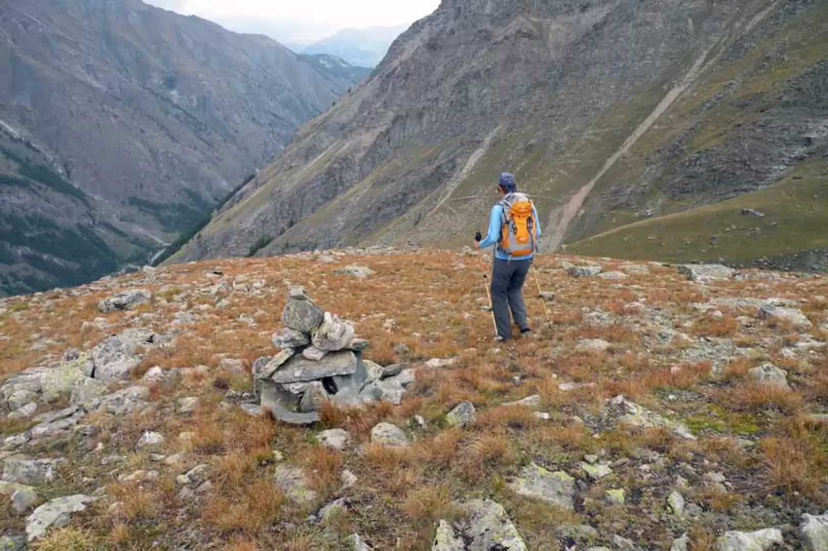
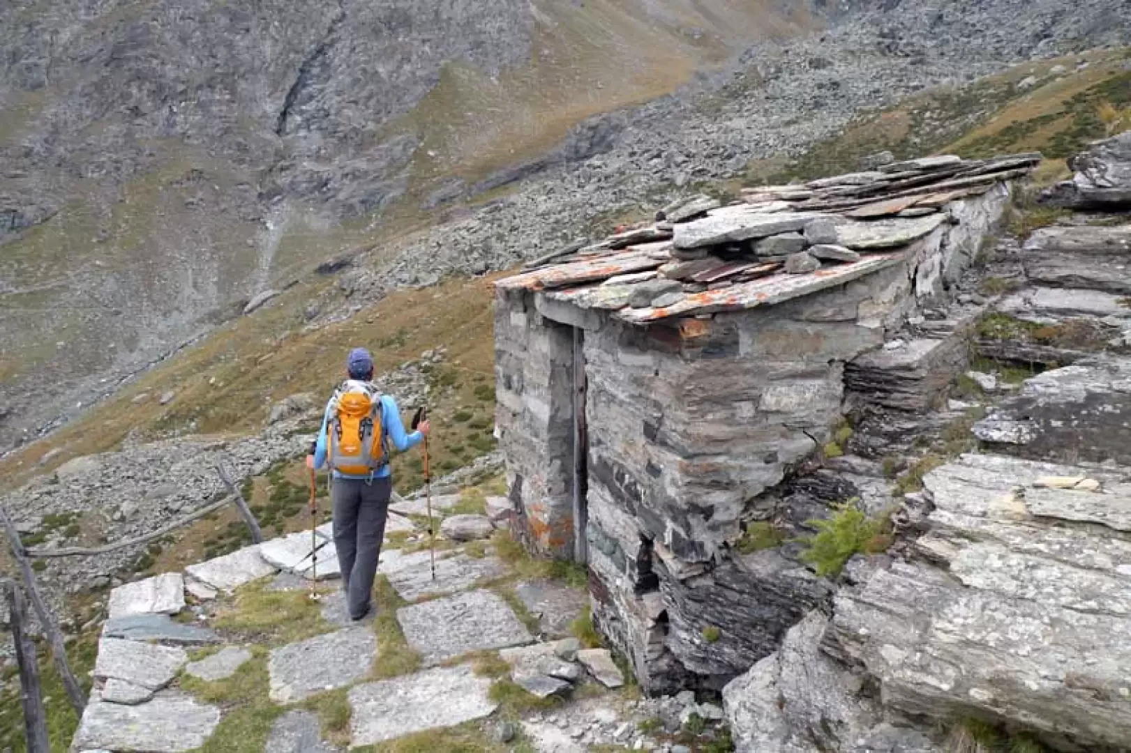
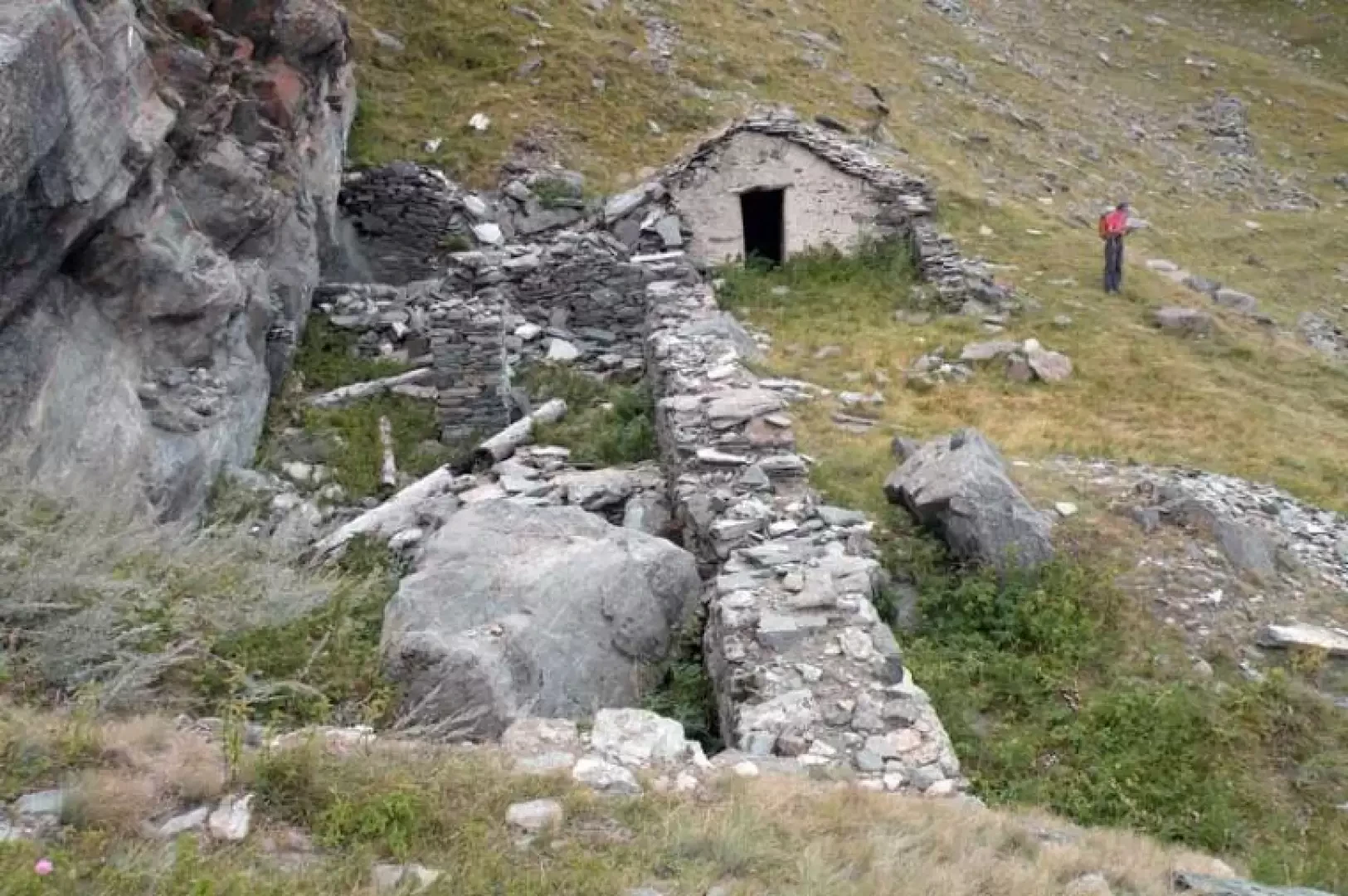
0h00' From the car park, head for the poles to climb up towards the meadows on the left, making a long traverse with which you arrive near a waterfall where you cross the gully on a small wooden bridge. Continuing along the traverse, two more gullies are crossed and, before arriving at the fourth one, the ascent of the steep grassy slope begins, turning right, which is climbed in wide, comfortable hairpin bends. After having crossed the last two gullies higher up, you come to a path coming from the left (2035 m, stone cairn), which you ignore, continuing along the slope. After a few more hairpin bends, walk along the path that cuts right across the slope to reach the panoramic hut located on a small promontory. Continuing the excursion, ascend above the hut on a clearly visible path that traverses to the right towards a gully, which we cross and then climb up the opposite grassy rib; this is climbed more directly, arriving at a small, gently sloping hollow where there is a fork (2276 m), at which we turn left, arriving shortly at the old Bocconere Damon hut, situated close to the side of the mountain. From this point, continue behind the hut on a path that points towards a grassy gully, which you cross to the right, continuing on an easy mule-track that rises with a few hairpin bends towards a large rock; when you reach a fork with another mule-track (2371 m), take it to the right, following it for a few dozen metres and then, spotting some clearly visible cairns on the right, you reach the wide ridge above which there are some avalanche barriers. Now continue the descent without any traces except for the cairns which take us downwards where we cross a path (2328m) which we follow to the right; continuing downhill along the hillside we pass a small house used as an observation point by the park rangers (2310m) after which we come to a gully which we cross to reach the crossroads at 2276m, which we passed on the way up before reaching Bocconiere Damon, at which we turn left retracing the ascent route.
.Galleria fotografica