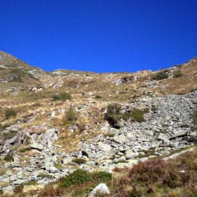
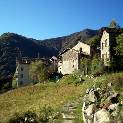
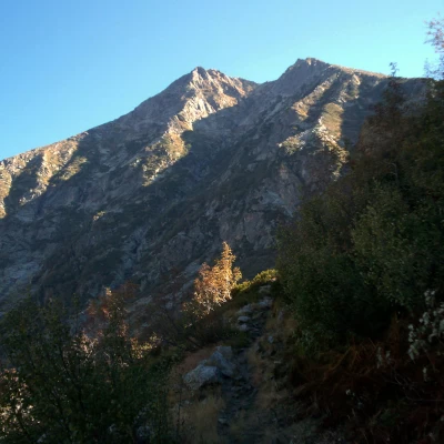
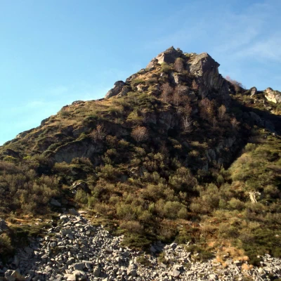
Bocchetta del Croso, from Montesinaro
Description
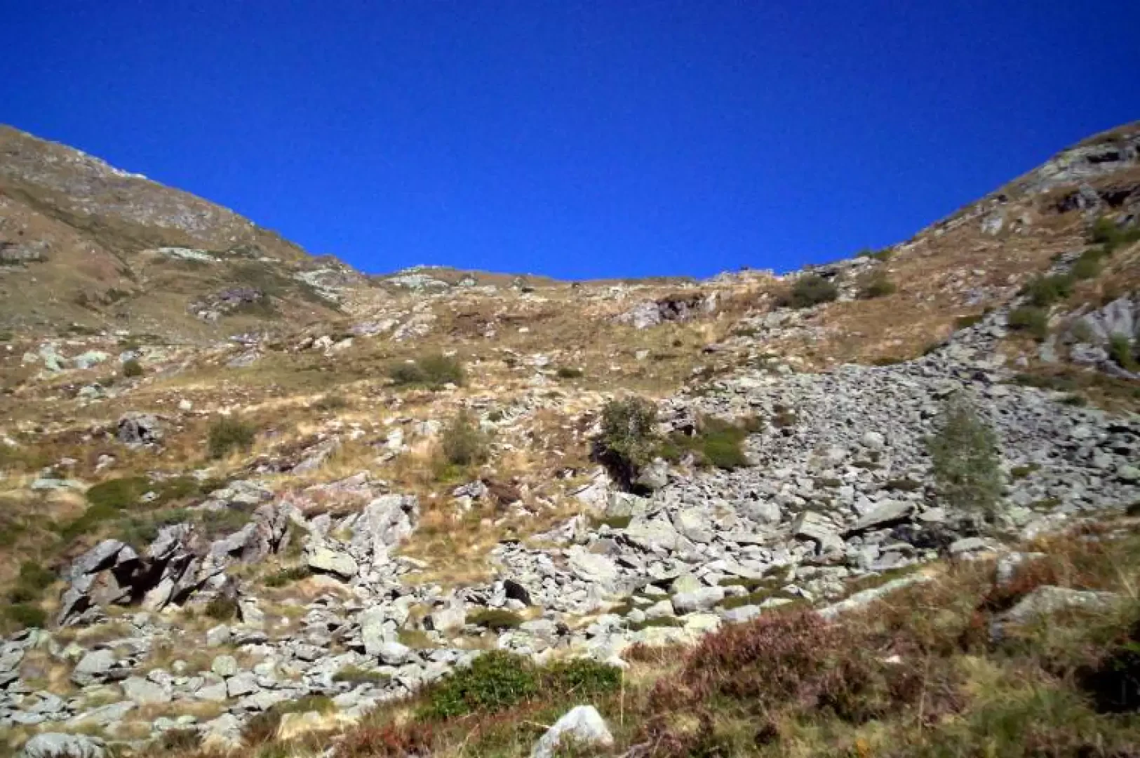
The Croso pass is located along the old mule track that connected Montesinaro with Rassa in Valsesia. At the end of the asphalted road you take a path back towards the village, as soon as you enter it you take a path that climbs up inside the village (red arrow indicating cima di Bo), when you come to a level pedestrian road you follow it, turning right. As soon as you leave the village, the path becomes a footpath, and you enter a beautiful beech wood, and soon reach some small settlements (Ca du Rat, Pianlino and Pianazza). Continue uphill until you reach the lovely cluster of houses of Le Piane, cross it and continue climbing with a few hairpin bends. Coming out of the wood, leave the path to the right for the Piana degli Agnelli alpine meadow; beyond the fork, the gradient increases and you first reach the fork for the Ronda pass (signpost E73) and then the one for the Bo peak. Passing this second fork, the path begins a long diagonal path to the left with a low gradient that ends at the Croso pass.
More news and photos: http://www.biellaclub.it/turismo/escursioni/bocchetta_croso/bocchetta_croso.html
