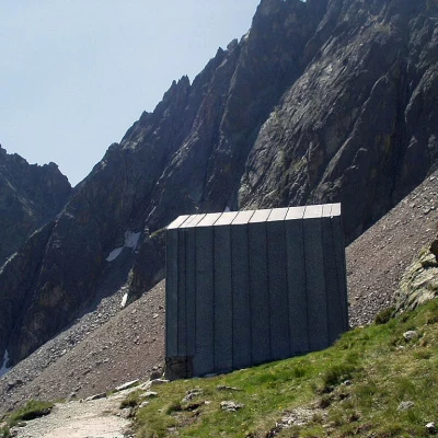
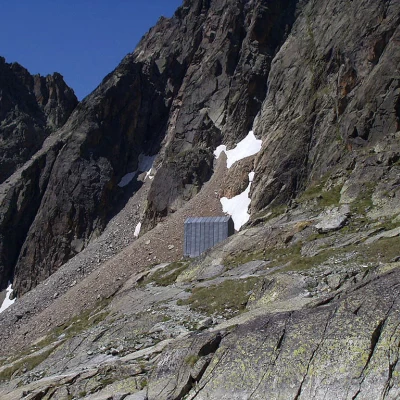
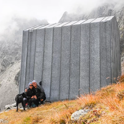
Spataro Bivouac, from Ru
Access
Leaving the motorway at the Aosta Est barrier, turn right and take the dual carriageway to follow for 8.4 kilometres. At Signayes, turn right onto the regional road following the signs for Bionaz/Laravoire. Pass a roundabout and continue on the regional road along the entire length of Valpelline. Pass through the villages of Valpelline and Oyace until, after about 27 kilometres, you reach the hamlet of Dzovennoz. Turn left, following the signs for Chez Leo Merloz Ru, Ley Cretes. Go up the little communal road for 1.3 kilometres until you reach the free car park 🅿️ before the village of Ru.
[0h39'] - [29.2km
How to get there with GMaps
How to get there with Apple Maps
The directions given here have been verified as of the date of the survey of the route. Before setting off, it is advisable to ensure that no substantial changes have occurred on the route to the starting point. We therefore recommend the use of the satellite navigation apps provided by Google or Apple for up-to-date and detailed directions.
Introduction
Description
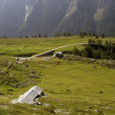
0h00' From Ru (1696m) we set off next to a small toilet hut with a fountain 💧, go past the village on a dirt road to the grassy terrace of Alpe Promot (1853m).
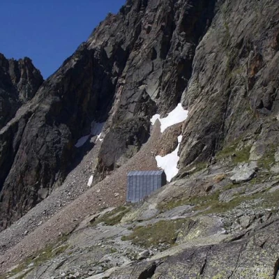
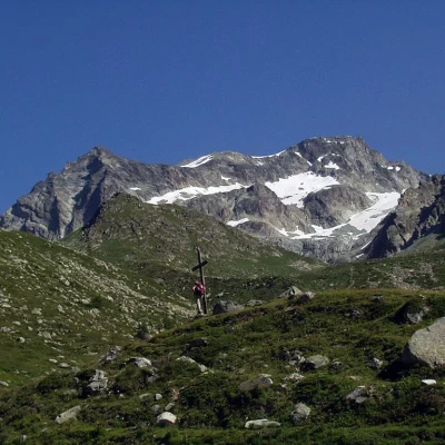
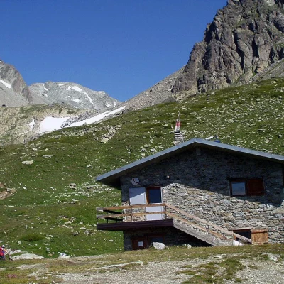
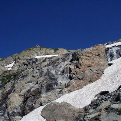
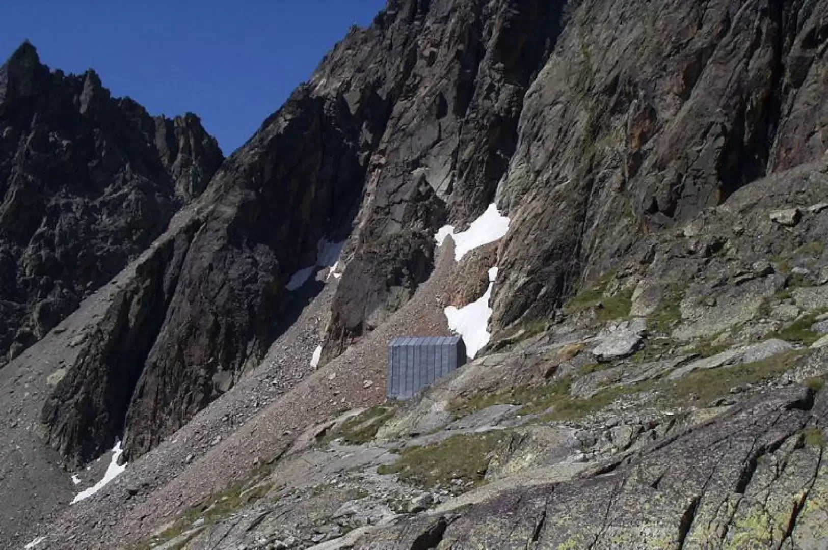
0h30' We now continue among fir trees and larches, go past the intake of an aqueduct and, after a few bends, cross the Comba di Vertosan stream to reach Alpe Berrier (2192m). Alternatively, just before the stream, take the obvious path to a large wooden cross, just above Alpe Berrier. You now slope slightly to the left and suddenly see the roof of the Crête Sèche hut (2390m), which you reach near the final ridge of the Crête Sèche mountain. Close to the hut, the Spataro bivouac is clearly visible above a rocky drop.
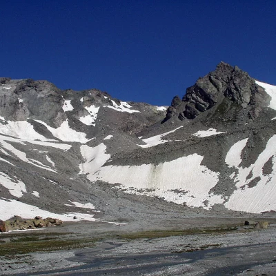
2h15' We now proceed along a steep path between stones and grass, and avoid a small snowfield. The ascent ends at the edge of the marshy plateau of Plan de la Sabla, which is bordered by the upper part of the Aroletta ridge and the western slopes of Mont Berlon. The Spataro bivouac is now clearly visible to one's left, but to reach it, it is best to walk for a few minutes along the Plan de la Sabla in search of some stones placed at the ford of the numerous torrents. Cross over and walk back along the opposite banks following the cairns until you reach the Spataro bivouac (2600m, 2h45').
The return journey follows the same route as the outward journey 2h00'.
