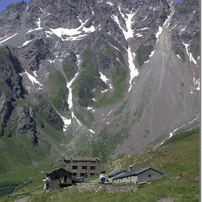
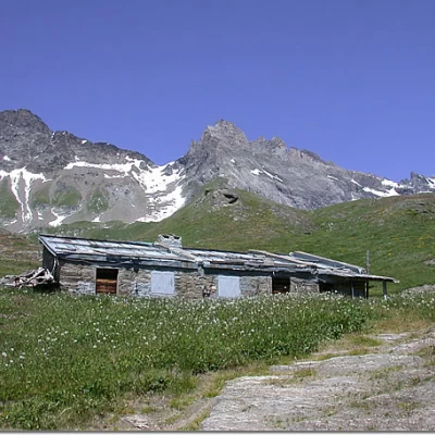
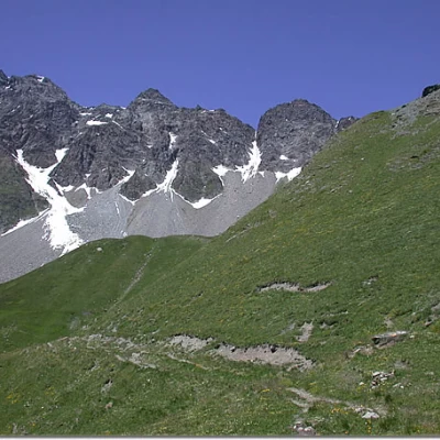
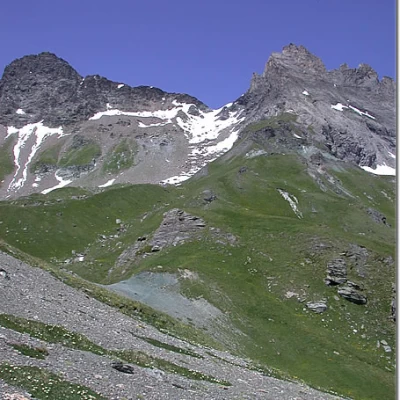
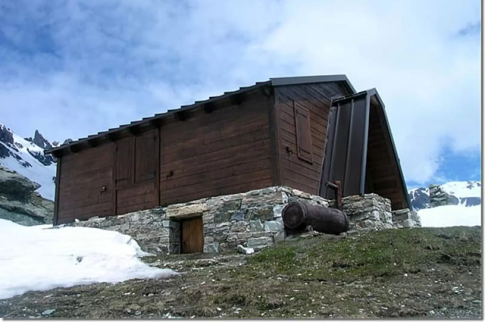
Rosazza Bivouac, from Glassier
Introduction
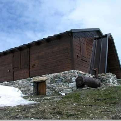
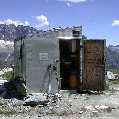
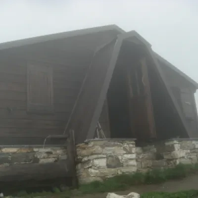
Reconstructed in 2004, the new Rosazza bivouac at Savoie is a very interesting panoramic destination as well as a good starting point for tackling Mont Velan via col de Valsorey. Once at the bivouac, the view over the By basin and especially the Grand Combin amply repays the effort for the more than 1100 metres of ascent.
Description
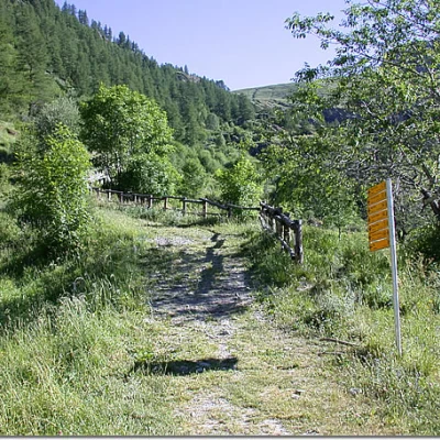
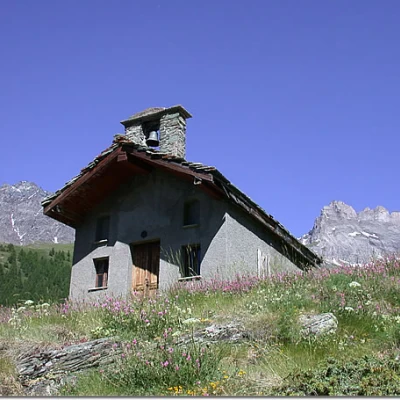
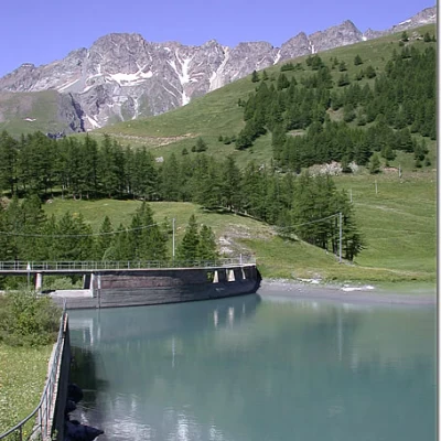
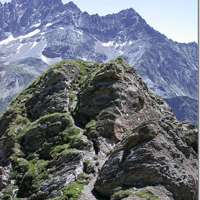
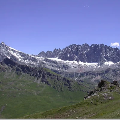
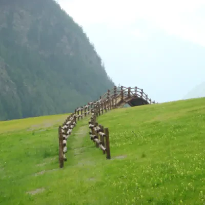
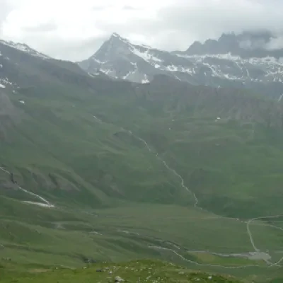
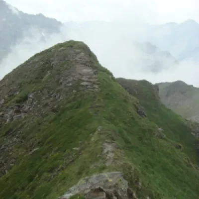
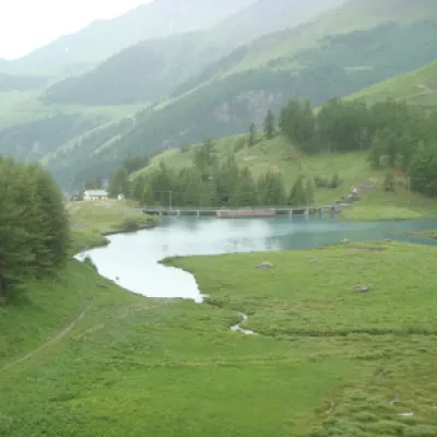
Leaving the car near the C.V.A. (Giri d'Energia) signpost, take the wide path to By following the traditional yellow signposts. Along the entire route, the path to By is very clear and often accompanied by protective railings. After an initial semi-straight stretch, the path, partially accompanied by the fence, begins to gain height with a series of twists and turns until it reaches a small hill from which an alpine pasture can be glimpsed. It descends briefly and then climbs gently to the Pont alpine pasture (1690 m, 0h15'). Having passed the alpine pasture and the characteristic "aqueduct": a metal tube supported by imposing stone columns, follow the signs for By, descending briefly to a small bridge that crosses an almost frozen stream. From here, start climbing again, crossing a short scrub of larch (Larix decidua); continue following the winding path that takes you to the foot of the Crottes alpine pastures (1733 m): from here you have a good view of the Glacier plain, Mont Saron and the distant Grivola, which begins to peep out. Having passed the alpine pastures (in reality, one passes underneath them), one continues to cut diagonally to the left until reaching the sparse larch forest again. From here, one begins to climb again with a long series of twists and turns, gaining considerable height until cutting across the cirque again, this time to the right, until reaching a small rocky promontory. You pass it and, following the fence, reach a small balcony at the lower limits of the By basin: one last little effort, you climb up the bare ridge until you reach the small chapel of the Madonna degli Alpini (1977 m, 1h00'). Leaving the little church, continue to the left as far as the weir of the By reservoir, proceeding along the dam wall until reaching the other orographic slope. From here, we begin to ascend a path that, after skirting a scrub of larch trees (Larix decidua), joins an agricultural track. Continue along the track, passing a couple of hairpin bends until reaching Porchère (2102 m, 1h35'). Just before the alpine pasture, the path for the bivouac starts off on the right; it cuts a hairpin bend in the agricultural track and remains on the right of it until it crosses the track that runs alongside the ru de By at a fountain. We follow the track for about a hundred metres until we meet an agricultural track that we follow to its end, reaching Tsa Porchère (2290 m, 2h10'). We now leave the agricultural track, following the path that climbs up, on the left, the peculiar grassy ridge known as Dos de Bouegno bà (low-eared hump): this is actually a glacial moraine that has now been covered over, but on the other hand, there are clear traces of ancient glaciation throughout the area. Continue turning to the right, the fork is not very evident, and climb up a beautiful grassy slope until you practically reach the top of the ridge. We then pass to the right of the moraine, crossing a short stretch of scree in the presence of the imposing pyramid of Les Trois Frères (3261 m). We continue up a small hump along the "edge" of the ridge until we reach a short rocky passage (2507 m): from here the path descends slightly and then climbs the last slope that separates us from Col Boégno bà, where the new Rosazza al Savoie bivouac (2674 m, 3h30') is located, a wooden construction that replaced the previous bivouac in 2004. Needless to say, the panorama from the bivouac is stupendous: a splendid 360° inside the beautiful basin of By, from Mont Saron to Grand Combin, from Grand Tete de By to Mont Avril, from Mont Gelé to the sharp peaks of the Morion. The descent is along the same route as the ascent (2h 30').
