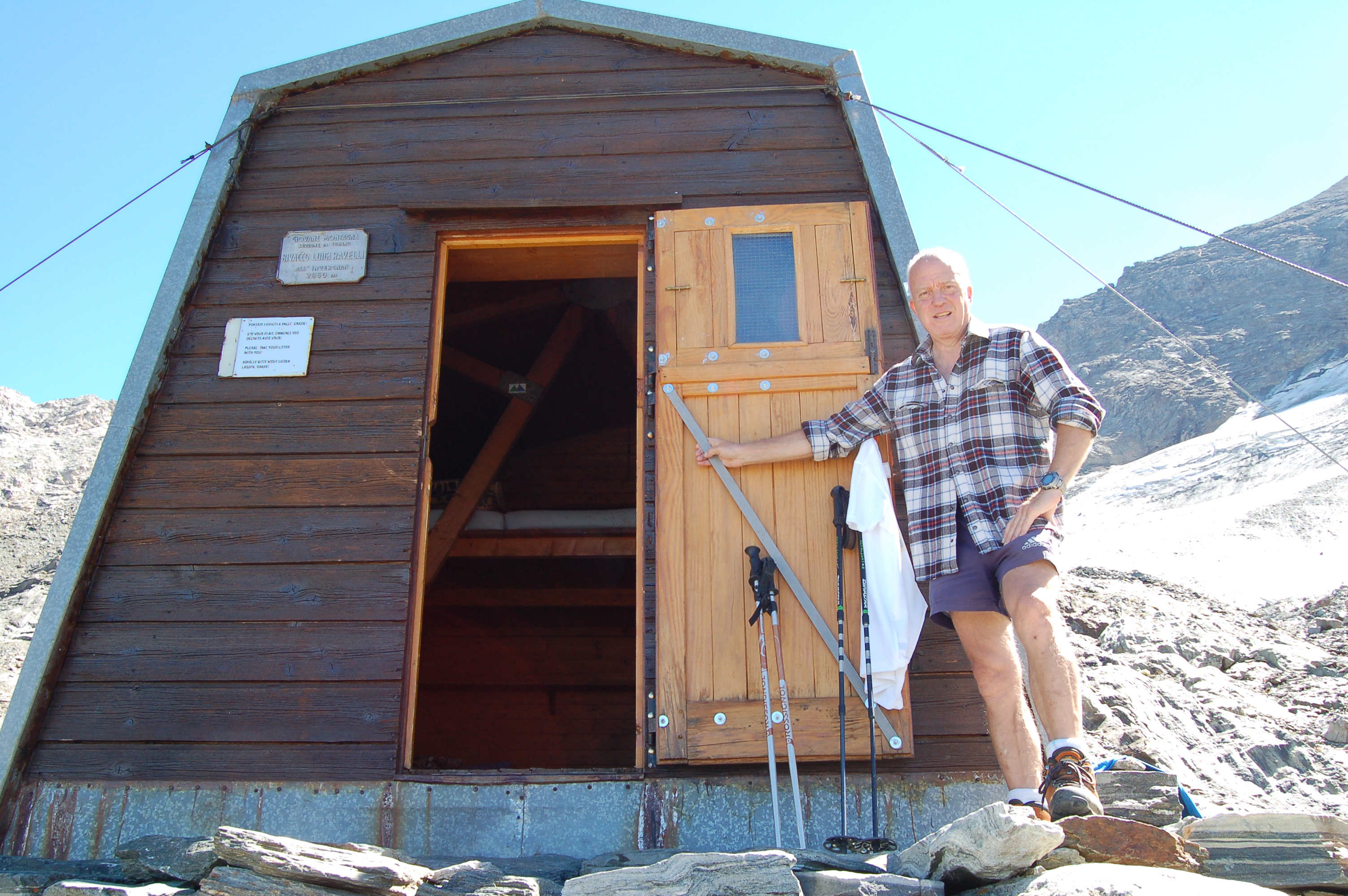
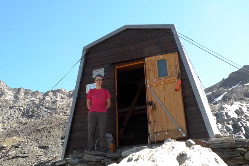
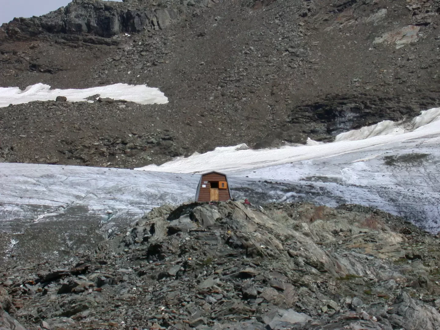
Ravelli bivouac, from Surier

Edited by:
Massimo Martini
Updated at: 05/06/2025
Introduction
Interesting excursion in a very wild corner of Valle d'Aosta. In fact, the route crosses the Invergnan valley, an area that is not very well known but extremely suggestive, until it comes face to face with the imposing Grande Rousse massif.
Description
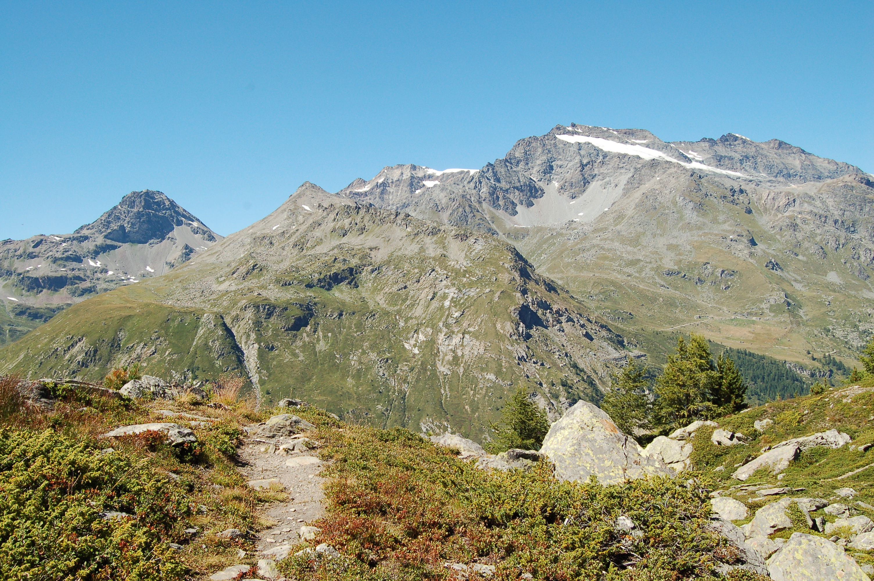
Leaving the car in the car park along the road near the hamlet of Usellières (1778 m), we set off along the inter-country road that leads to the Bezzi hut; after a hundred or so metres, we turn left, following the signs for the Chalet de l'Epée hut (footpaths and ). We then start to climb the stretch of road leading to Epée, leaving the village of La Treutse below on our left. The trail turns right and enters a beautiful forest of centuries-old larches, reaching, after a series of steep hairpin bends, the Alpeggio du Mont Forciaz (2180 m, 1h00').
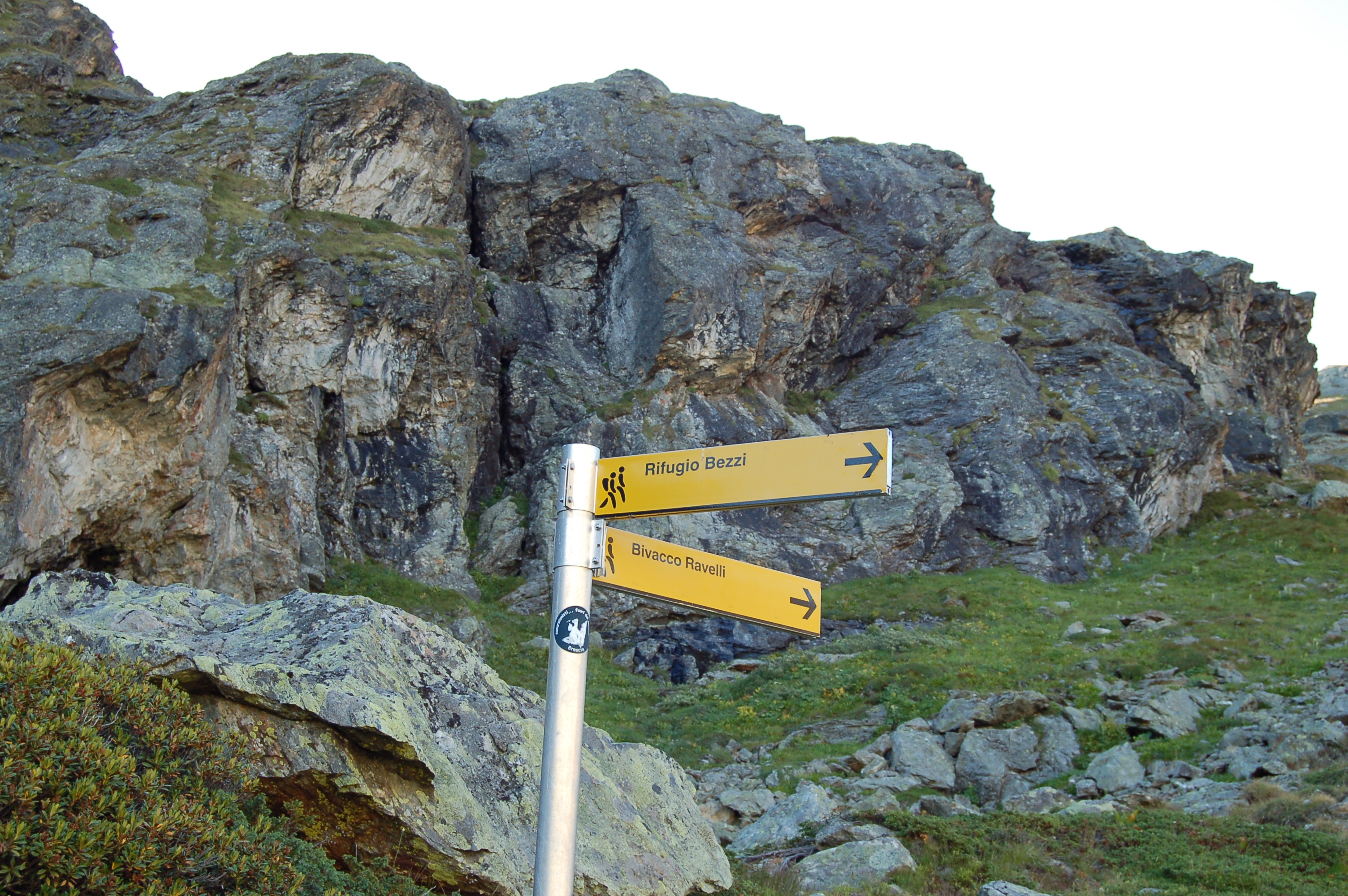
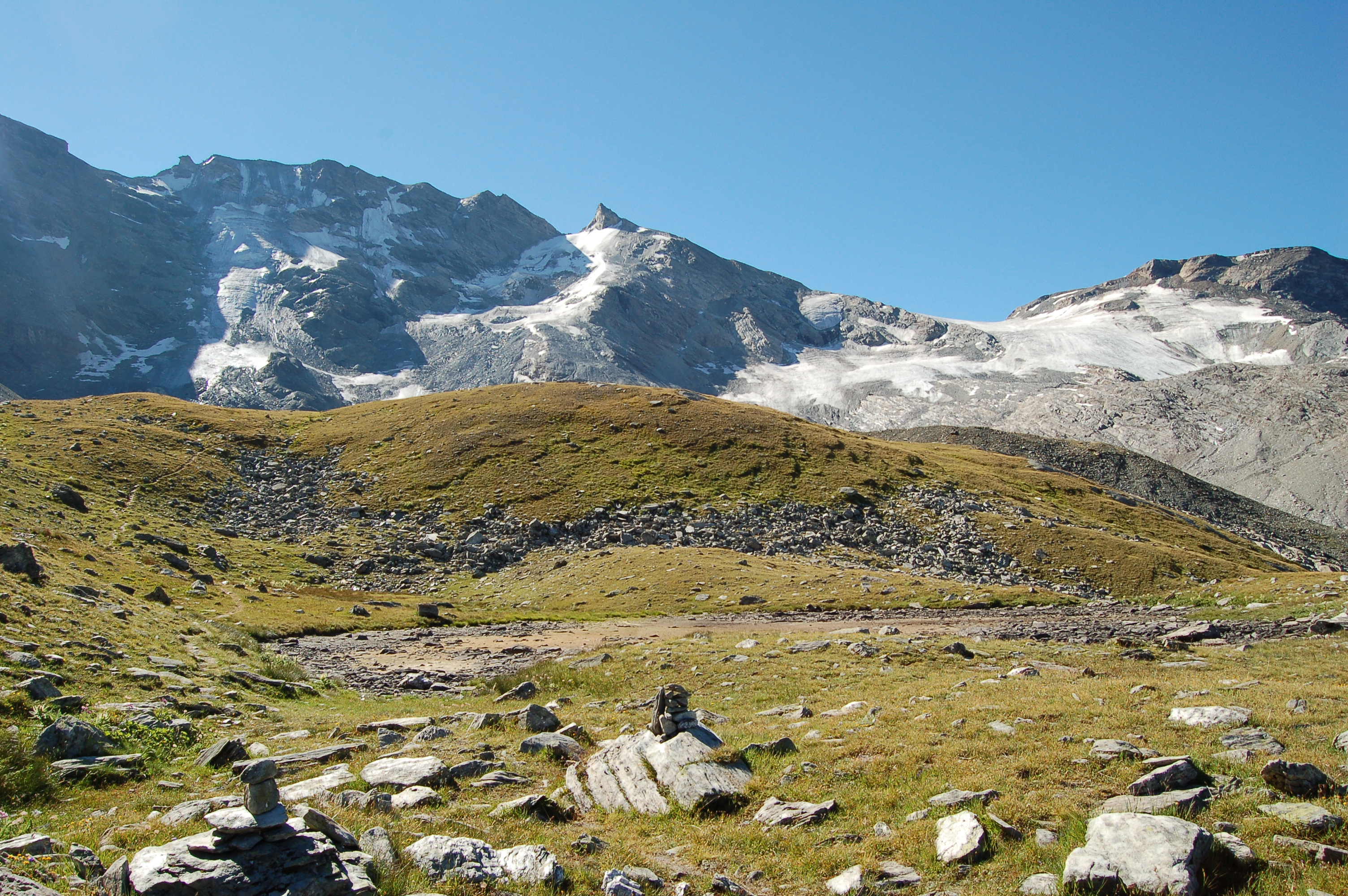
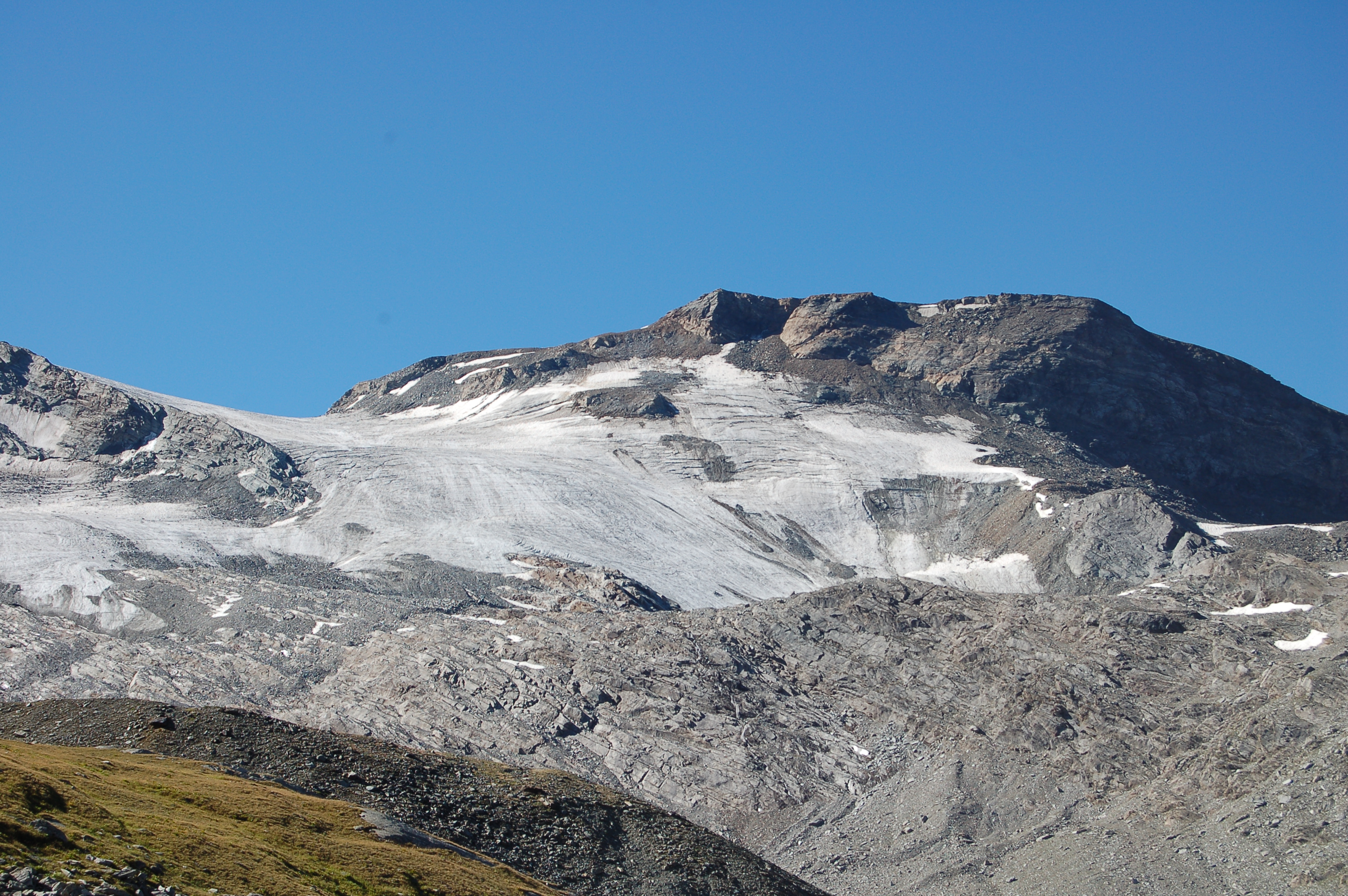
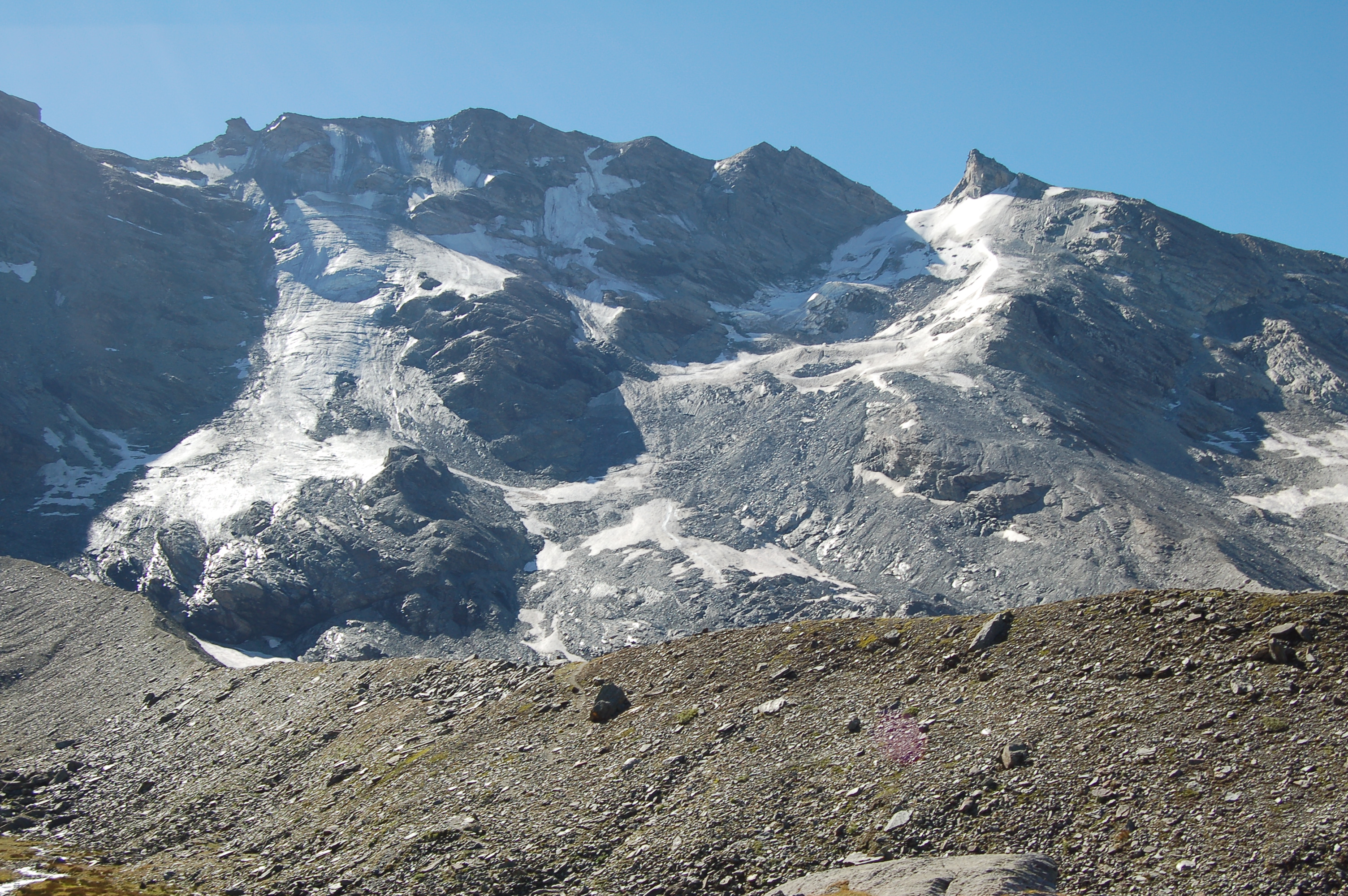
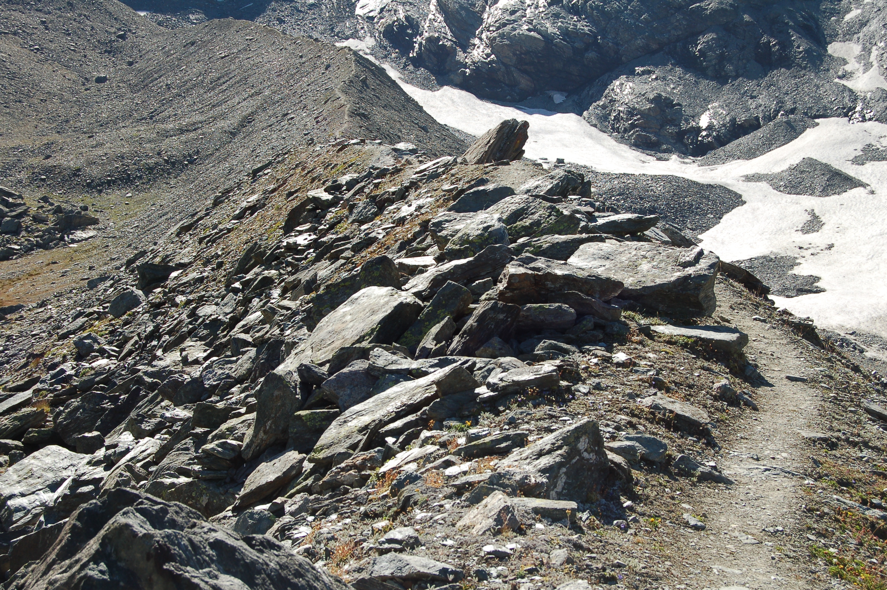
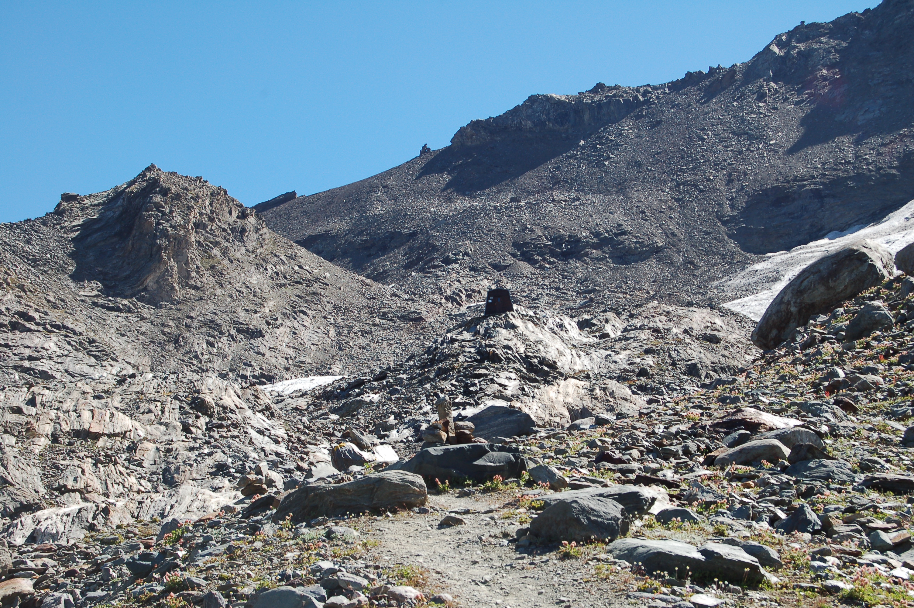
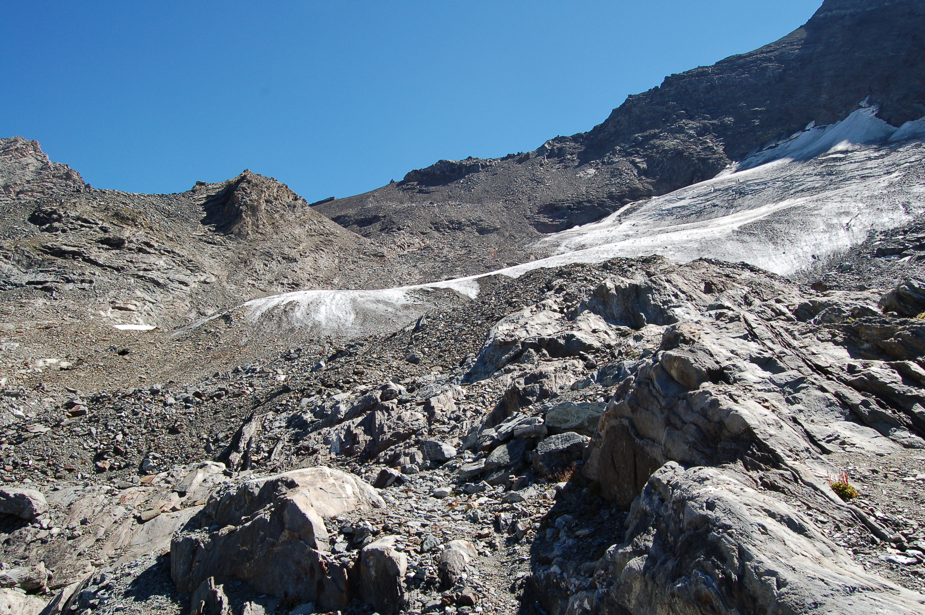
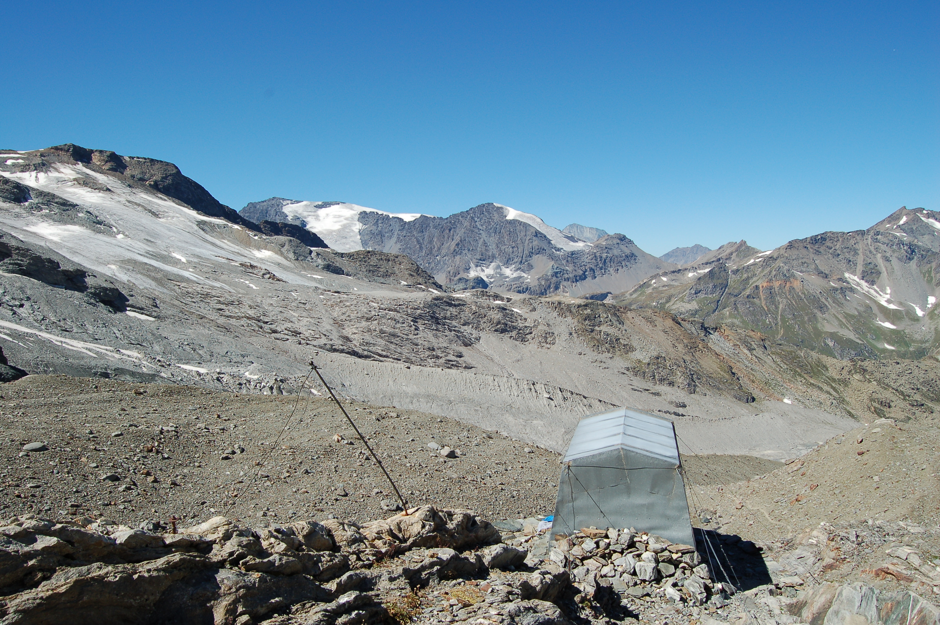
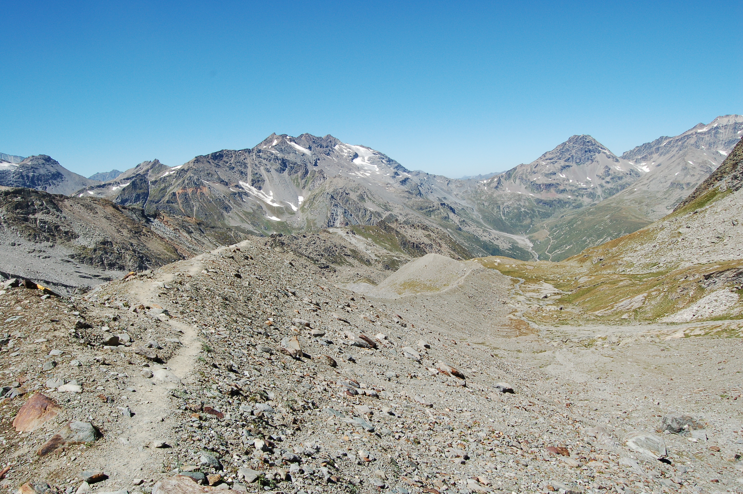
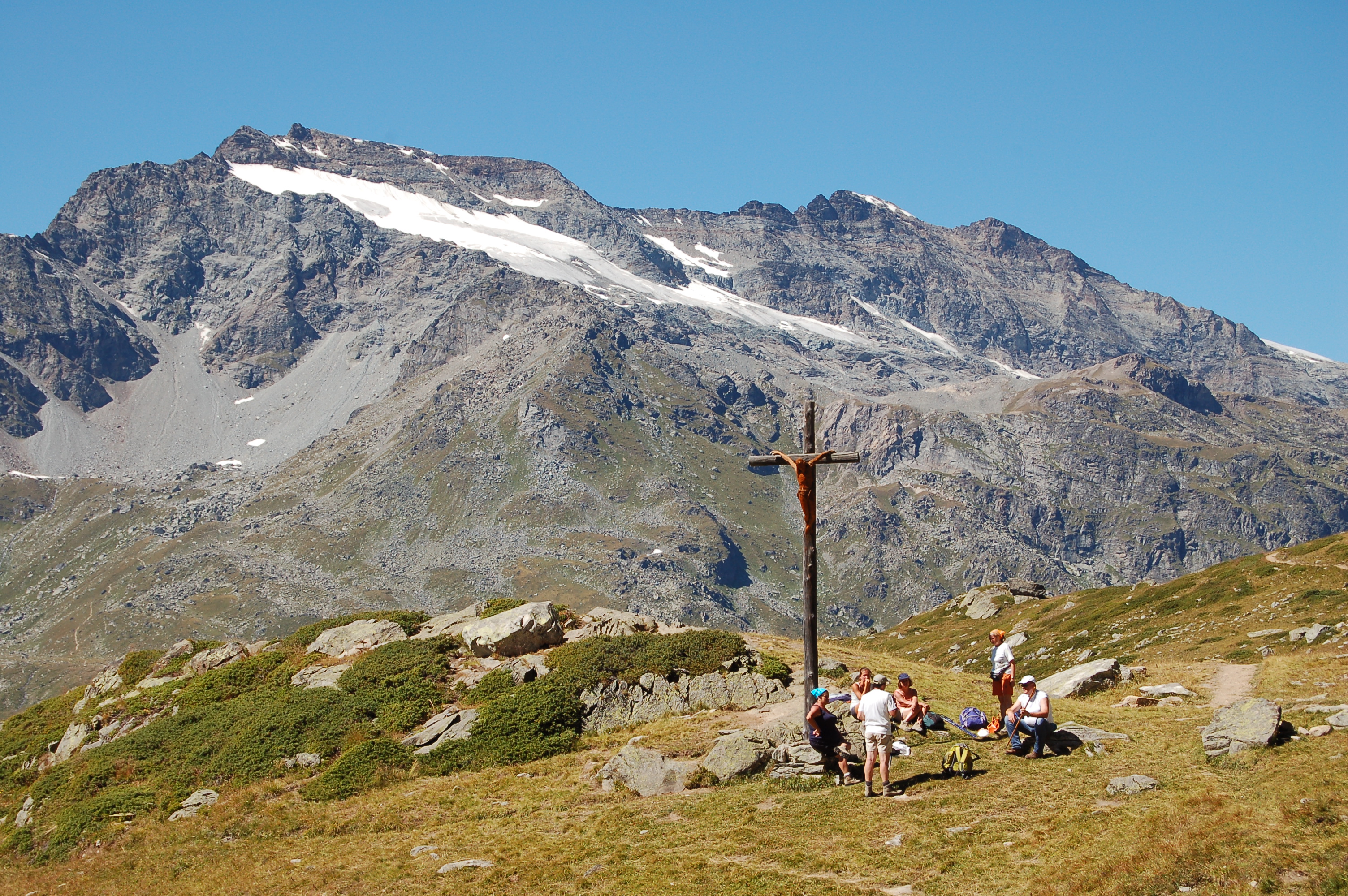
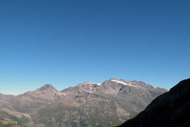
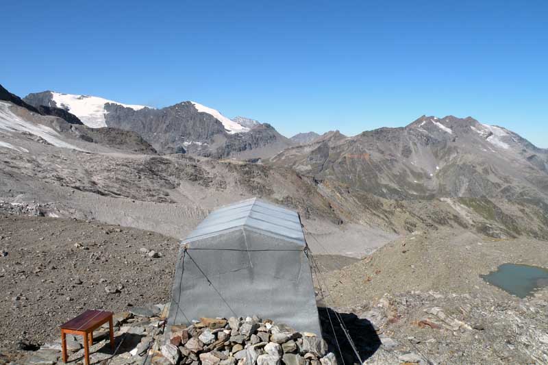
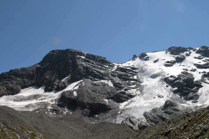
After the alpine pasture, we enter the Invergnan valley. The first part of the path crosses the pastures and leads under the rocky slope that separates the Invergnan valley from the Bouc valley. The path, which is easy and well-marked, begins to gain altitude as it crosses a rocky cliff (left on the left) and finally reaches the path coming from the Chalet de l'Epée hut (approx. 2,300 m). The path continues halfway up the slope to a further fork (2435 m): we take the direction of the bivouac (on the left) while on the right we continue towards the Bezzi hut. We immediately climb up a steep grassy gully with frequent zigzags, after which the path tends to the left and slightly reduces its inclination, reaching an extremely panoramic point (2620 m): in front of us the Grande Rousse massif opens up, and on the more distant Becca Suessa and Platte des Chamois. After a few minutes, you reach a small meltwater lake in which the peaks of the valley floor are reflected. Continue up the path in the middle of the alpine meadow until you reach a level stretch, ford a small stream and climb up the ridge of a large moraine. After a fairly steep first section that takes us to the top of the ridge, we follow its long summit line: the route is not particularly steep, but the clearly marked path does, however, cross a few exposed sections that are only recommended in good weather conditions. Along the ridge, the last patches of Geum reptans can be glimpsed and the bivouac can be seen in the distance. Glancing to the left, one can see Mont Forciaz, while to the right one can see the crevasses of the Invergnan Glacier. At the end of the ridge, we move to the left, cross a little stream, skirt it and cross it again to the right. By now there is little left to do, climb up the last stretch of scree and finally reach the bivouac (3h00'). From the bivouac, there is an excellent view of Mont Forciaz, the Grande Rousse Massif and the peaks opposite, Mont Ormelune, Col du Mont and Ruitor.
Variant Chalet de l'Epée - Ravelli Bivouac
Leaving the Chalet de l'Epée hut, descend the first hairpin bends of the farm road, following the signs and . After crossing a small bridge, after about 5 minutes you will find a path on your left indicating the direction of the Bezzi hut at 4h00'. The path keeps at a high altitude (about 2300 m), passing through patches of rhododendrons, and then begins to descend. After 0h20' you come to a fork in the path (2287 m): follow the path that remains at altitude (take the one on the left), while the other leads to the alpeffio du Mont Forciaz. Continue slightly uphill and turn into the Invergnan valley; after a few ups and downs, the path follows a long flat stretch until it joins the path leading to the bivouac (0h50'): the path taken so far is neither marked nor numbered. The itinerary between the Chalet de l'Epéee refuge and the Ravelli bivouac involves a total of 4h00' of walking ( 2h30'; 1h30').
.Panoramic view of the Grande Rousse Photo gallery The start of the itinerary Reflections of Valgrisenche The crest of the moraine View of Mont Forciaz The Invergnan Glacier A last effort... View of Mont Ormelune and Col du Mont Geum reptans
Riferimenti Bibliografici
- Le Valli del Gran Paradiso e la Valgrisenche - Zavatta Luca - L'Escursionista editore, 2002
We have been there

Edited by:
Ivo Giansetto
Bivacco Ravelli
Saliti per la prima volta al bivacco. Fatica ripagata dal panorama che si gode da lassù. Rientrati con tappa al rifugio Chalet de l'Epèe.
Saliti per la prima volta al bivacco. Fatica ripagata dal panorama che si gode da lassù. Rientrati con tappa al rifugio Chalet de l'Epèe.