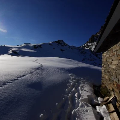
Service Bivouac, from Starleggia
Access
From Milan to Campodolcino along State Road 36; on leaving the village, near the parking area for the ski lift funicular, turn left towards Starleggia. When you reach the small hamlet, continue for a few hundred metres on a dirt road until you come to a bar prohibiting unauthorised persons from passing through. Parking is no problem.
Introduction
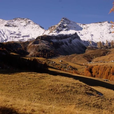
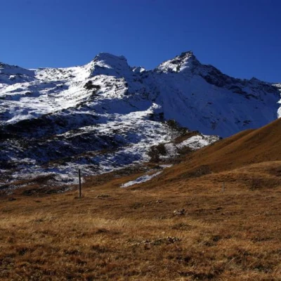
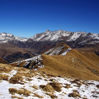
Excursion to a bivouac located in a very panoramic position on the Valle Spluga trekking route and at the base of Pizzo Quadro (or Piz de Pian Guarnei, CNS), a popular easy mountaineering peak. Great views over the peaks of the entire Valle Spluga: from Suretta to Emet, Groppera, Stella and as far as Pizzo di Prata.
Description
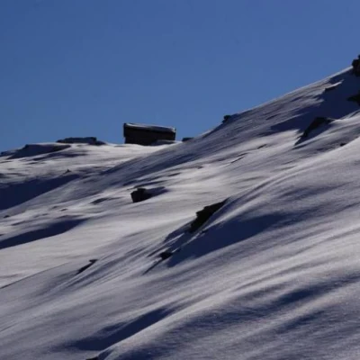
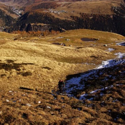
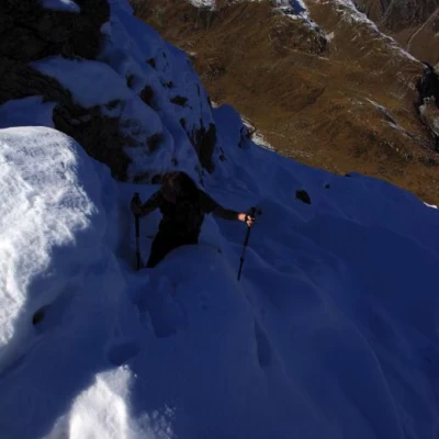
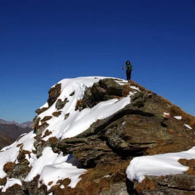
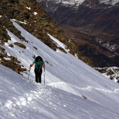
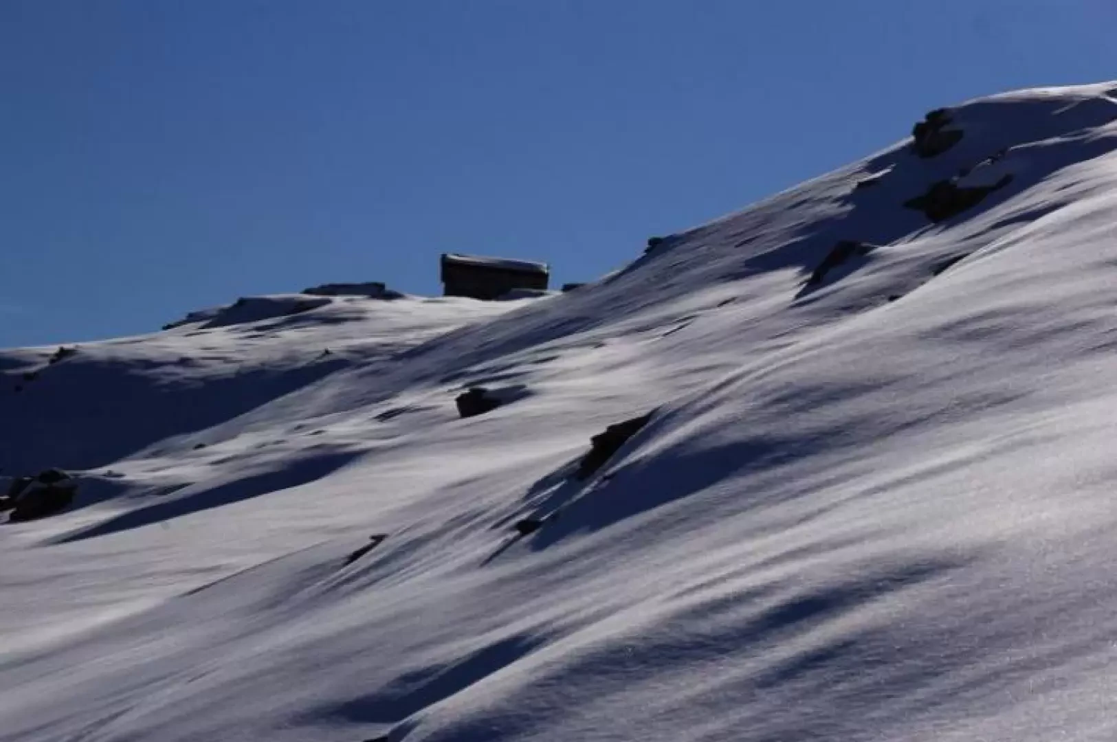
From the car park at Starleggia 1565 m, go past the bar that restricts the passage of vehicles and continue along the dirt track until almost reaching the wide pastures of the Alpe Bocci in the Valle della Sancia: a little-visible marker on the left indicates the beginning of the path to follow. After a few twists and turns in the larch wood, you skirt the wall that acts as a boundary to the pastures of the alpe until you reach its upper edge. A new signpost directs you towards the steep woodland upstream: follow it in regular turns until its altimetrical end: you find yourself on the vast grassy spaces pertaining to the distant Alpe del Servizio. Here the signposts become less evident and the traces of grazing animals become confusing: it is better to ascend the pastureland between humps and small valleys until reaching a wide ridge crossed by a fence. From here, follow the boundary 'ridge' between the Alpe del Servizio valley (to the left) and the Valle della Sancia (to the right): more or less marked tracks follow the watershed or lean to the left (south-east) to avoid unnecessary differences in altitude until you find good markings in paint. The path - now very evident - always follows the ridge or its vicinity until it takes a long ascending traverse (be very careful in the presence of snow) that allows you to reach, with a very stony track, the visible Bivacco del Servizio 2570 m. The construction, made of stone with a wooden interior, is located on the edge of a terrace overlooking the Valle Spluga at Campodolcino, near the Passo del Servizio (communication with the Truzzo basin). Return along the outward route, or with the following partial variant.
It is possible, along the grassy ridge path, following faded signs, to take an exposed little path to the left that leads to the bottom of the Sancia Valley near the water intake for the Campodolcino hydroelectric reservoir. From here - turning right - you descend to Alpe Morone and then to Alpe Bocci, where you return to the uphill trail.
