Molline Bivouac, from Prailles dessous

Edited by:
Massimo Martini
Updated at: 04/05/2025
Access
Lasciare l'autostrada alla barriera di Aosta Est, svoltare a destra e imboccare la superstrada , da seguire per 8,40 chilometri. Raggiungere Signayes e proseguire dritto sulla Strada Statale , superando gli abitati di Gignod ed Etroubles fino a raggiungere, dopo 21,90 chilometri, il bivio per Pallais, Prailles Le Bezet ed Eternod. Svoltare a destra e risalire la strada comunale per 3,2 chilometri fino a incontrare il bivio per Prailles Dessous. Girare nuovamente a destra e percorrere la stradina per circa 300 metri, fino ad arrivare al villaggio, dove è disponibile un parcheggio 🅿️ gratuito con circa 8 posti auto.
Distanza e tempo di percorrenza
🕒 Tempo di percorrenza: 31 minuti
📏 Distanza: 26,2 km
Navigazione GPS
📍 Come arrivare con Google Maps
📍 Come arrivare con Apple Maps
ℹ️ Nota importante
Le indicazioni fornite sono state verificate alla data del rilievo dell’itinerario. Prima della partenza, è consigliabile verificare eventuali variazioni del percorso. Per ottenere indicazioni aggiornate e dettagliate, si consiglia l’uso di Google Maps o Apple Maps.
Introduction
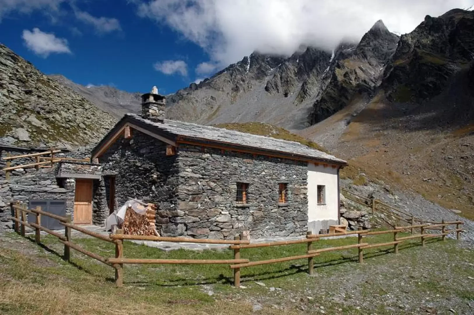
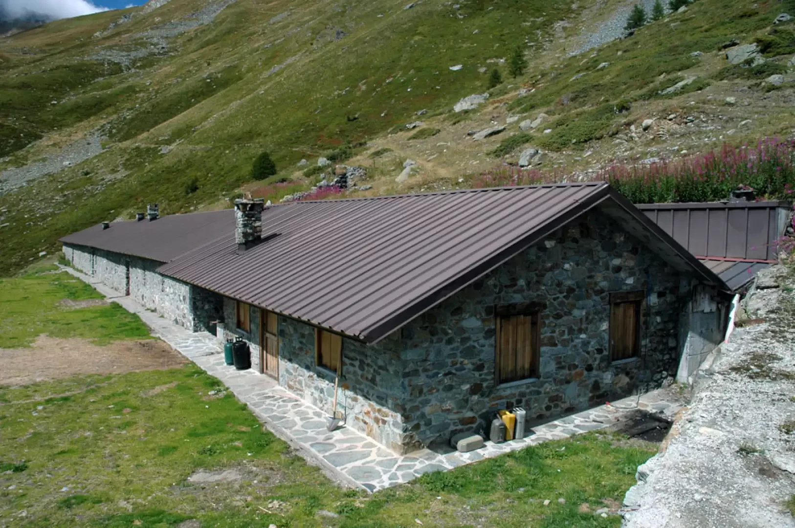
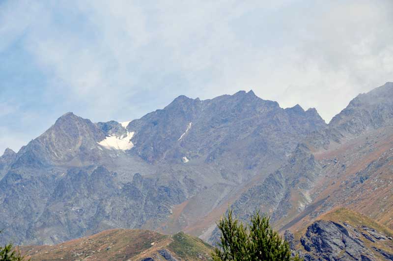
The Molline gorge lies at the foot of the western slope of Mont Velan on a glacial shelf separated from the Menovy gorge by a wide step of around 300m. This sense of separation can already be felt at the start of the valley and is sublimated by the presence of the small alpine pastures and the brand new Molline bivouac.
Description
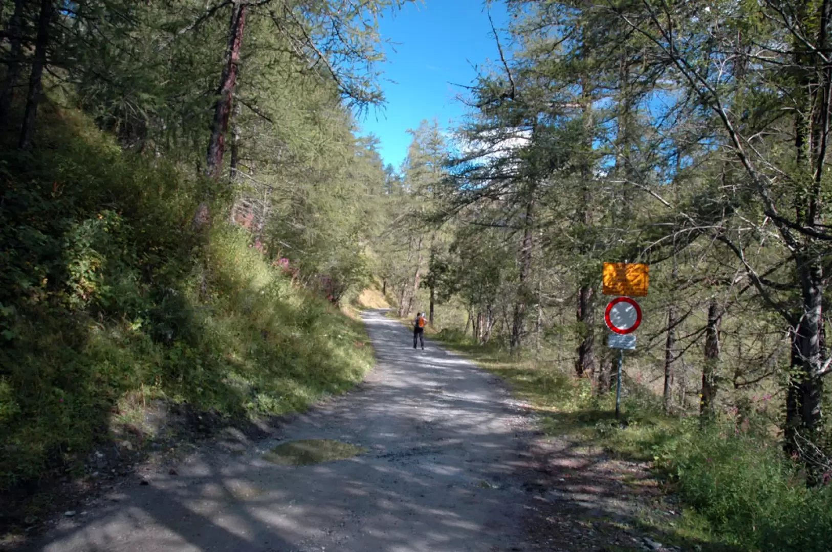
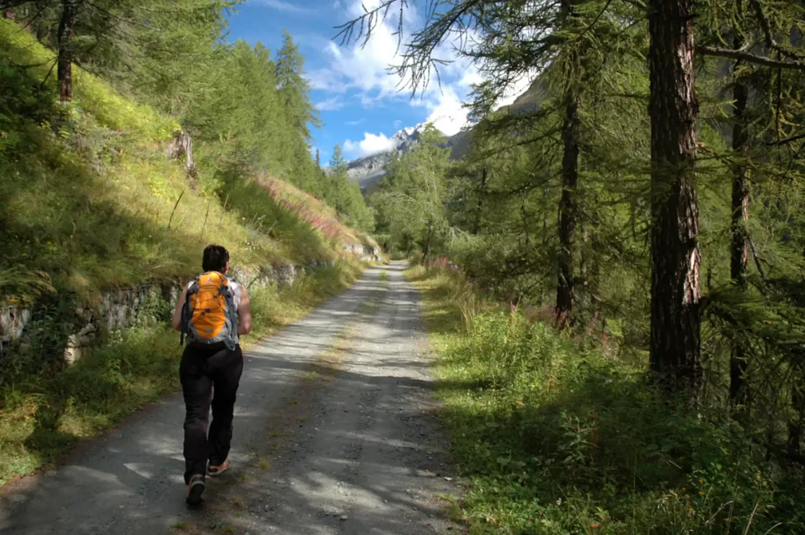
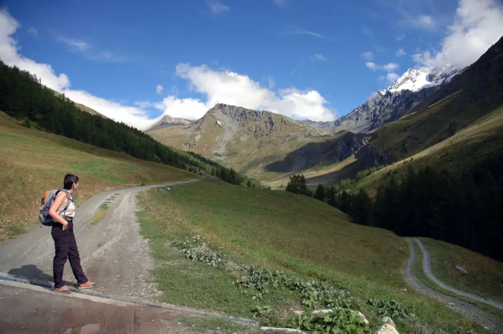
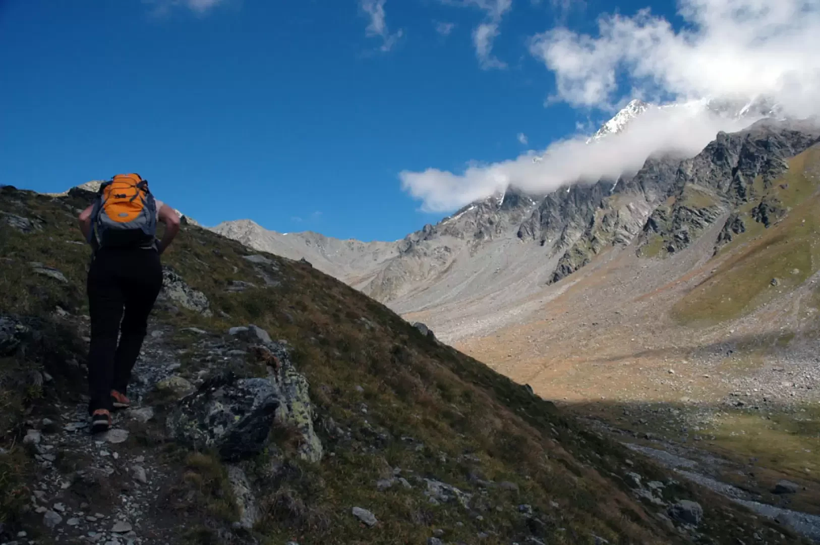
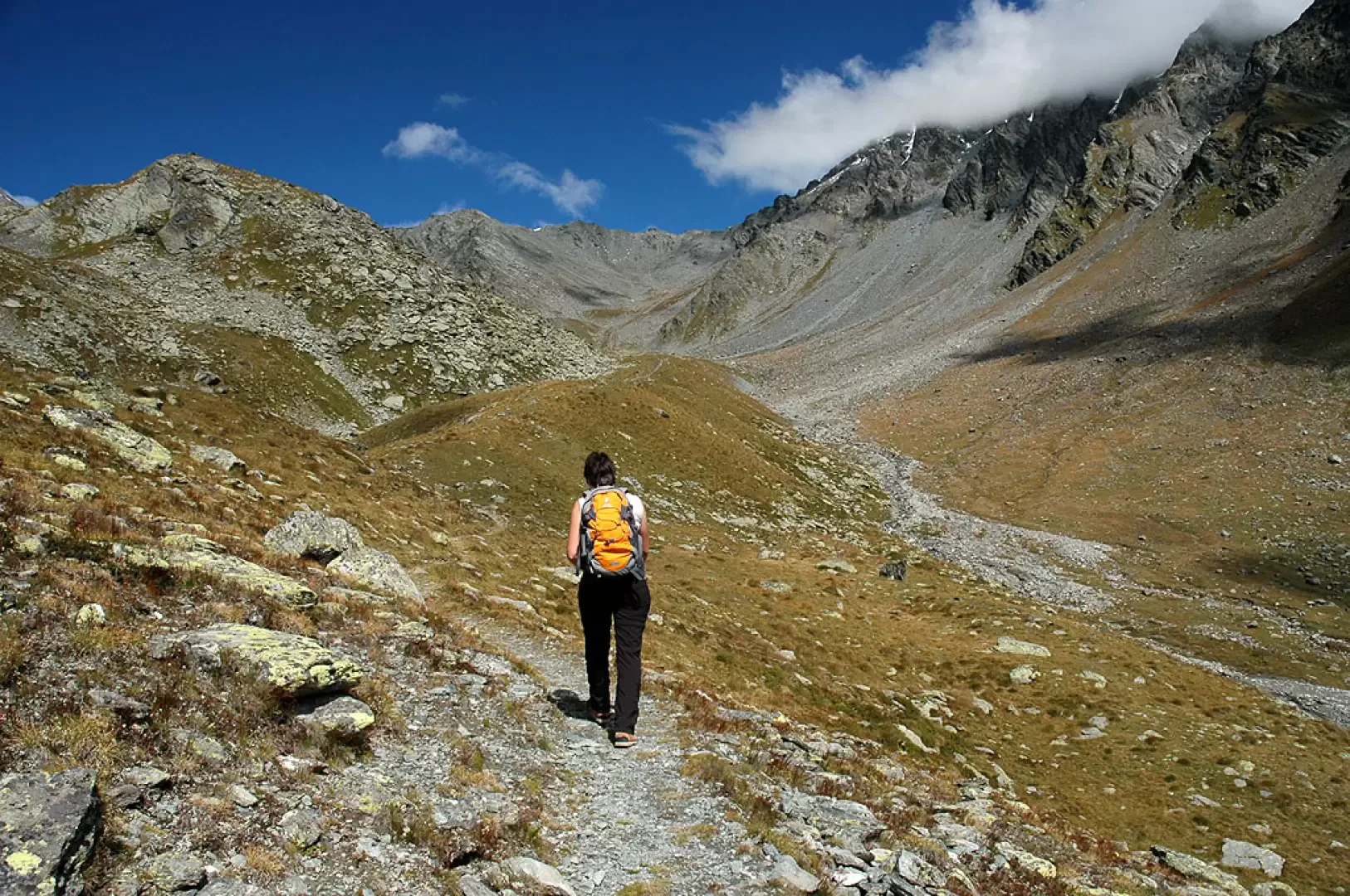
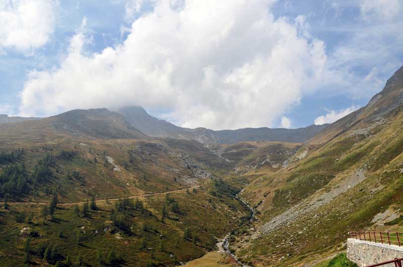
Leaving the car behind, continue along the farm road that enters the valley. After a few metres, you come to a signpost indicating that you should continue along the road (Alta Via variant 1); continue to a first crossroads where you continue straight on. Climb up the gorge through a sparse larch forest that affords fine views of Mont Velan. Go past two long hairpin bends to reach the junction for the Col de Champillon (1,731m, 0h20'): ignore the diversions to the right and continue along the farm track; go past a couple more hairpin bends to reach another junction: ignore the track to the right again and continue until you reach the pastures below the Plan Bois mountain pasture. You now walk along the lower edge of the forest, passing below the Menovy alpine pasture, in an almost straight section of gentle ascent until you reach a fork again (1946m, 1h00'): here you turn right and follow a very slightly downhill section until you reach the ford over the Menovy stream, then the little road bends right and heads for the Arvus alpine pasture (1983m, 1h15').
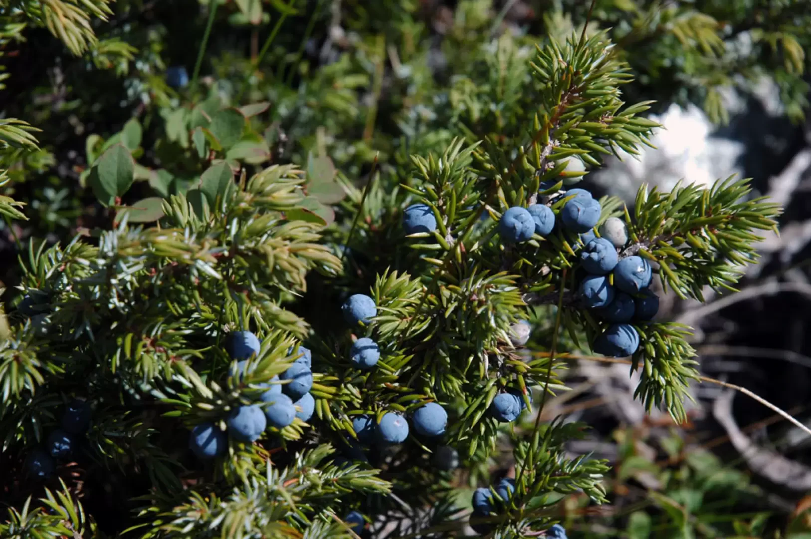
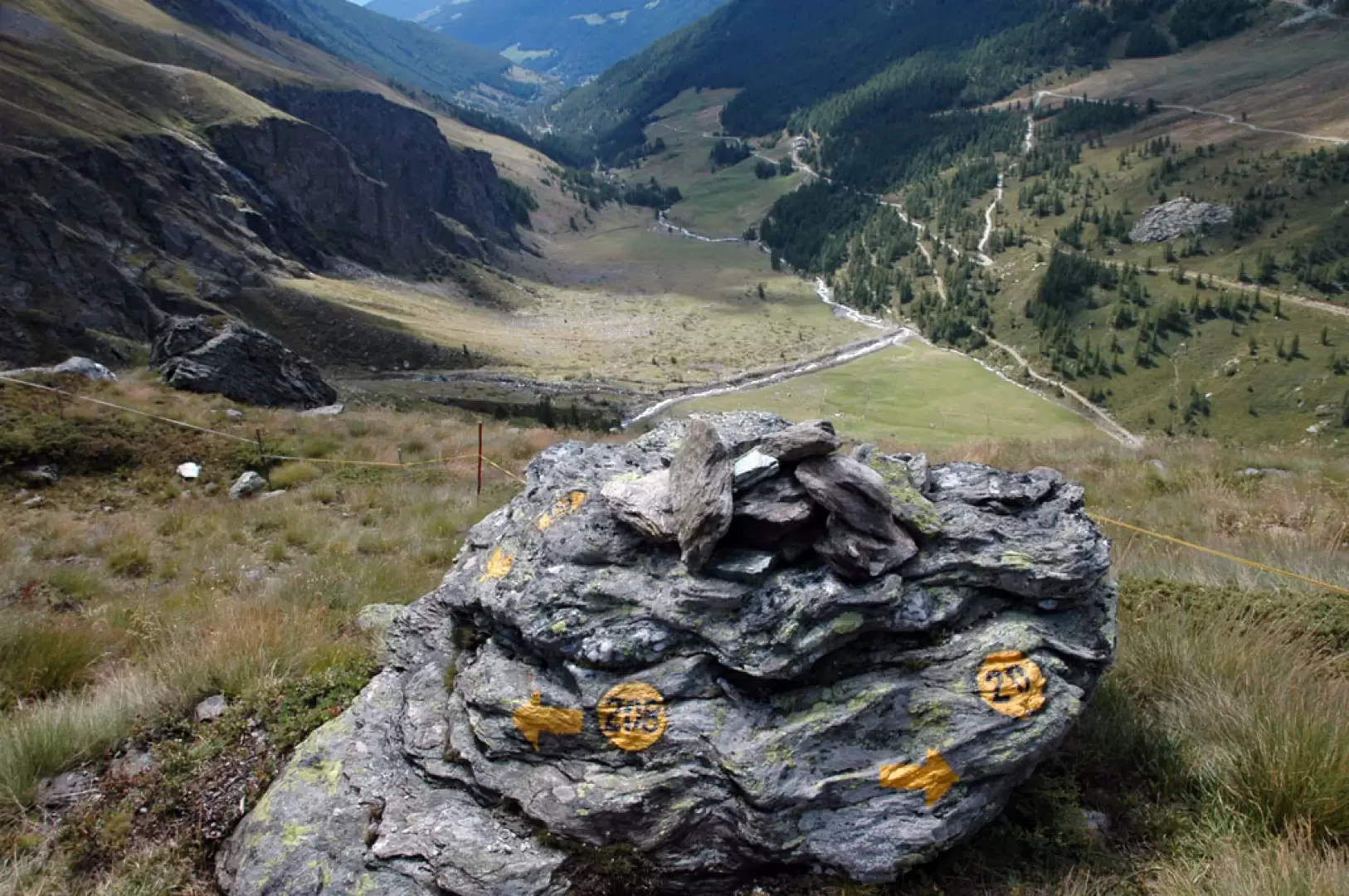
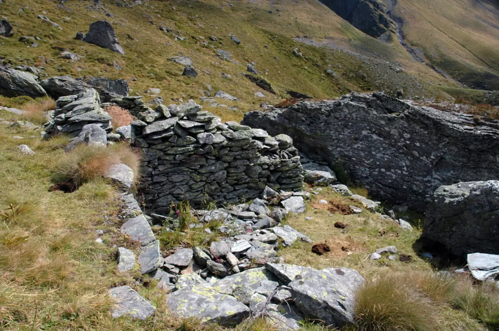
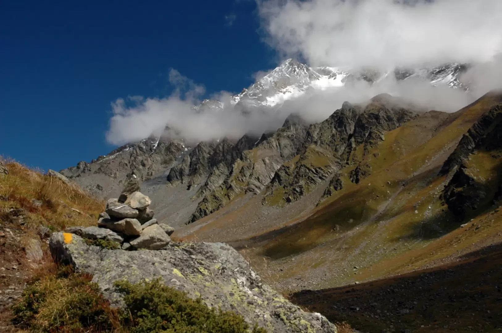
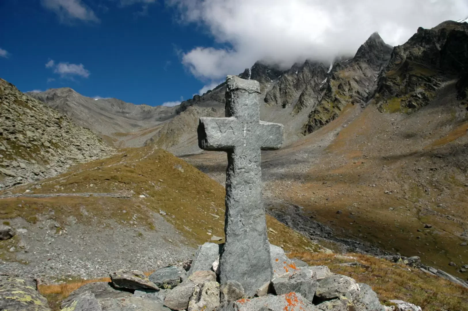
You pass the alpine pasture by going round it on the right and taking a track that becomes more evident near a large boulder where there are markings (20) (20b). We now begin to climb the hardest part of the excursion, the path with wide bends climbs the step that separates us from the Molline valley. We pass a short strip of larch trees and continue, aiming between two large rocks; the path is always clear and is accompanied by blueberry and juniper bushes. The last section of the path to overcome the step is slightly steeper and finally joins the path coming from Tsa de Menovy (2253m, 2h00'). From the crossroads, continue straight ahead, heading towards the Molline valley and immediately encountering the ruins of the Molline Vieille cottages (2295m, 2h05'). The path now turns slightly to the right until it reaches the base of a morainic ridge covered with alpine grassland; follow the morainic ridge along its crest line, discreetly entering this wild and suggestive environment. After a stretch of ascent, the path descends briefly, then ascends again and finally meets the Molline bivouac (2415m 2h30'), visible practically at the last moment. Shortly before the bivouac, a stone cross stands in front of the imposing mass of Mont Velan.
The return trip is along the same route as the outward journey.
Galleria fotografica
We have been there

Edited by:
Giancarlo Beretta
Bivacco Molline
Gita di ripiego per le condizioni meteo ma comunque remunerativa per gli ambienti e qualche avvistamento faunistico. Non abbiamo visto partecipanti al Tor de Geant nel tratto di percorso in comune all'inizio del sentiero.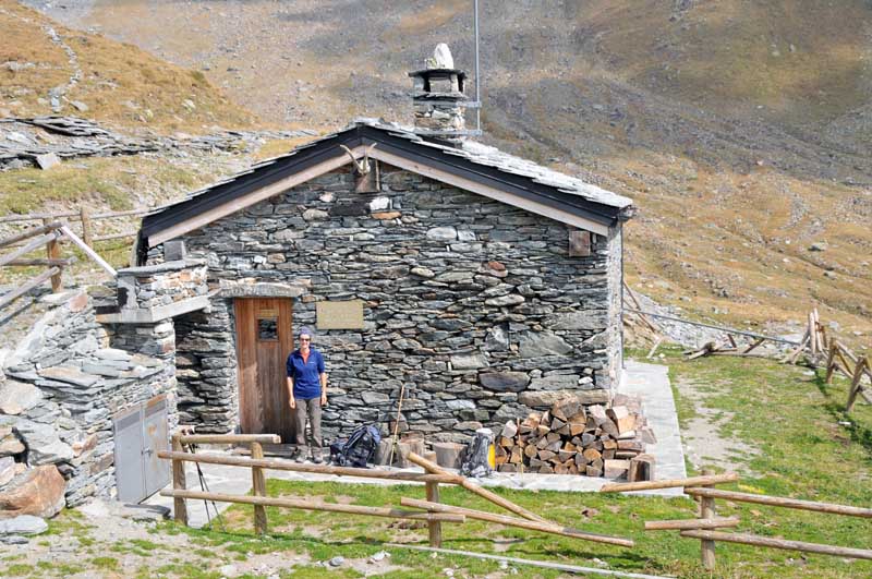
Edited by:
Giancarlo Beretta