Martinotti Bivouac, from Valnontey

Edited by:
Ivano Ruffoni
Updated at: 04/05/2025
Access
Leaving the motorway at the Aosta West exit, turn right and take the for the Cogne valley. After passing through the village of Aymavilles, the road enters the valley, passing the villages of Vieyes, Epinel and Crétaz until, after 20km from the motorway exit, you reach a roundabout: take the first exit onto Avenue G.F Cavagnet, to be followed for about 350m. Inside the village of Cogne, turn right and take the small road that after about 2.7km reaches the village of Valnontey, anticipated by the large car park 🅿️ (from 8am to 8pm - 4€ full day) on the right of the road.
[0h33'] - [23.3km]
- How to get there with GMAPS
- How to get there with Apple Maps
Introduction
Description
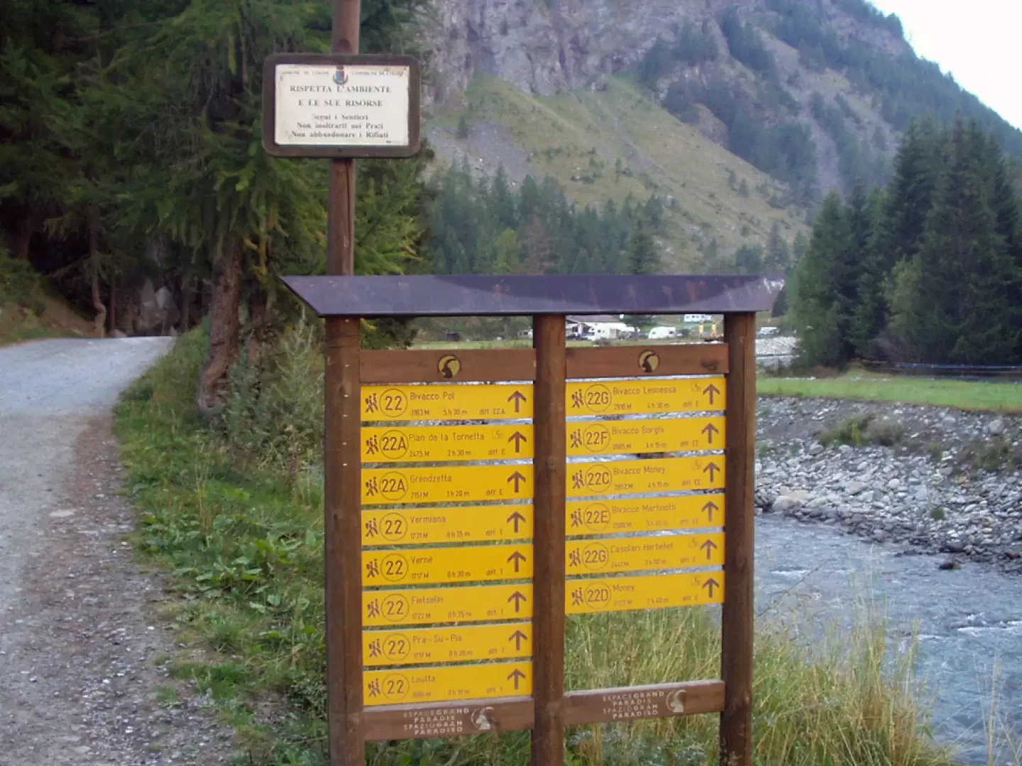
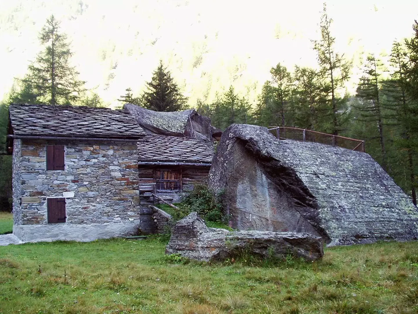
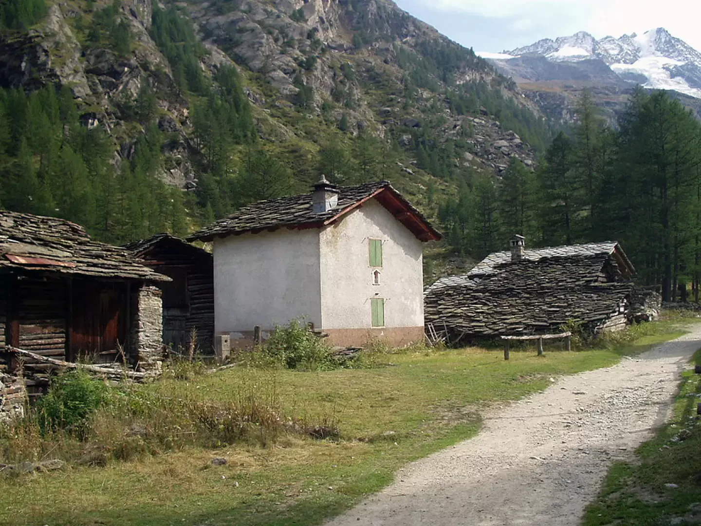
0h00' From the car park in Valnontey (1666m), continue along the road to the orographic right of the stream, pass the information sign indicating the start of the signpost and all its variants, pass the Gran Paradiso campsite and enter the wood. After a few minutes' walk, you cross the diversions to the left, signposted for Plan de la Tornetta, pass by a water intake and reach the characteristic grouping of Davids, built around two large rocks. The dirt track passes by a bridge (selling dairy products on the opposite bank) and heads to the clearing where the village of Vermiana - Vermianaz (1729m, 0h30') stands.
After a 7-8 minute walk, leave the dirt track (which ends shortly afterwards) and take the path to the left that enters the forest at a moderate gradient. Continuing close to the stream, often with a view of the northern slopes of the Gran Paradiso, you come to the crossroads with the marker for the Money bivouac and continue for about ten minutes to Pont des Erfaulets (1830m, 1h00').
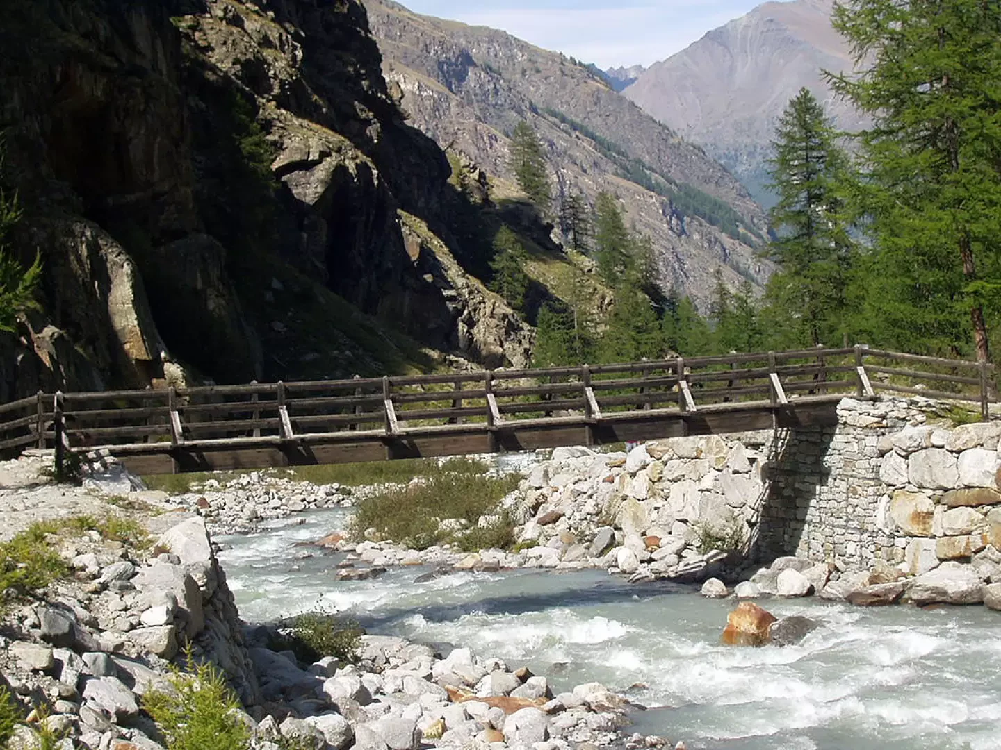
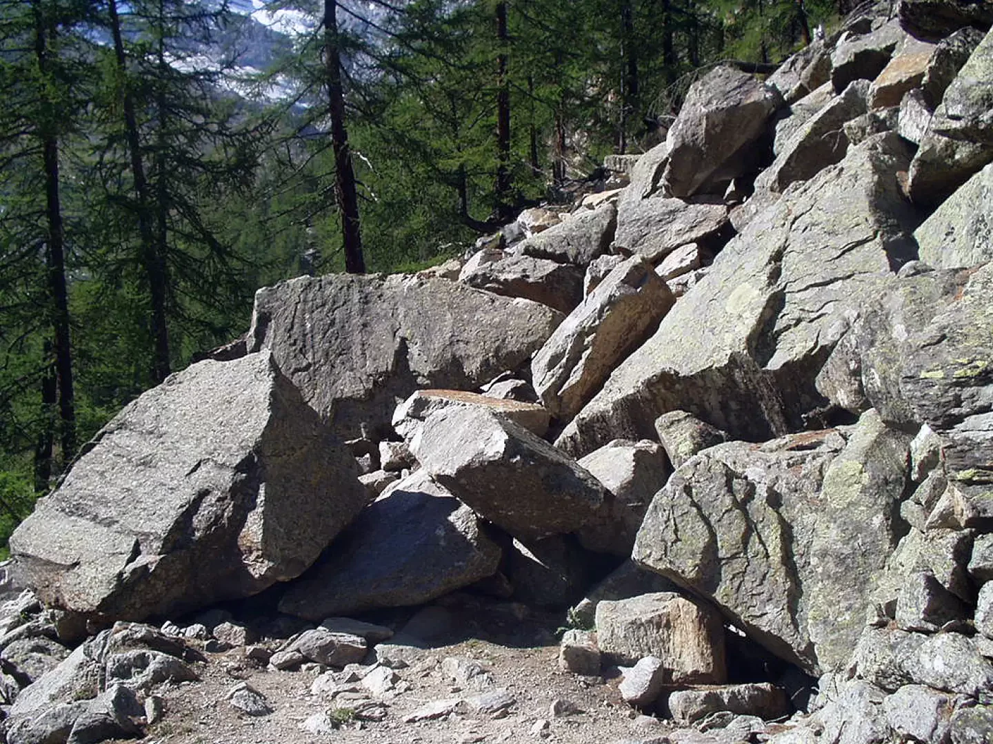
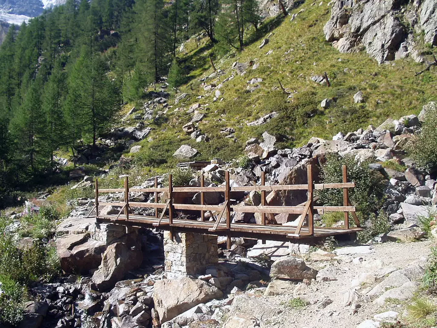
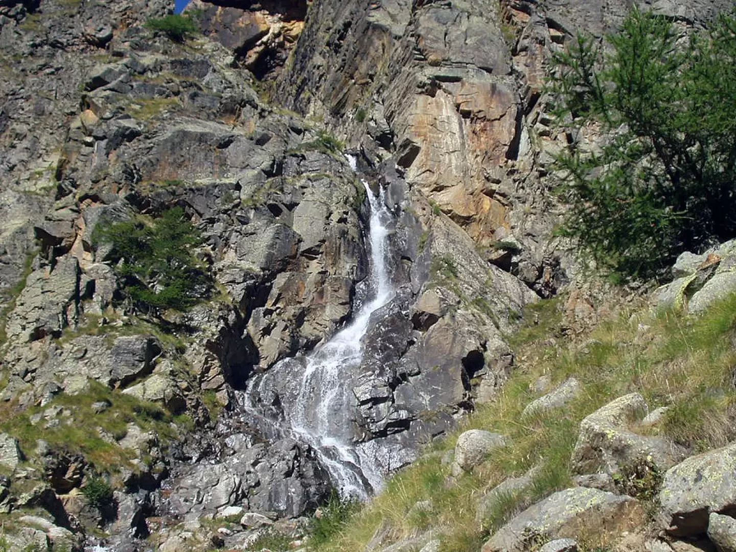
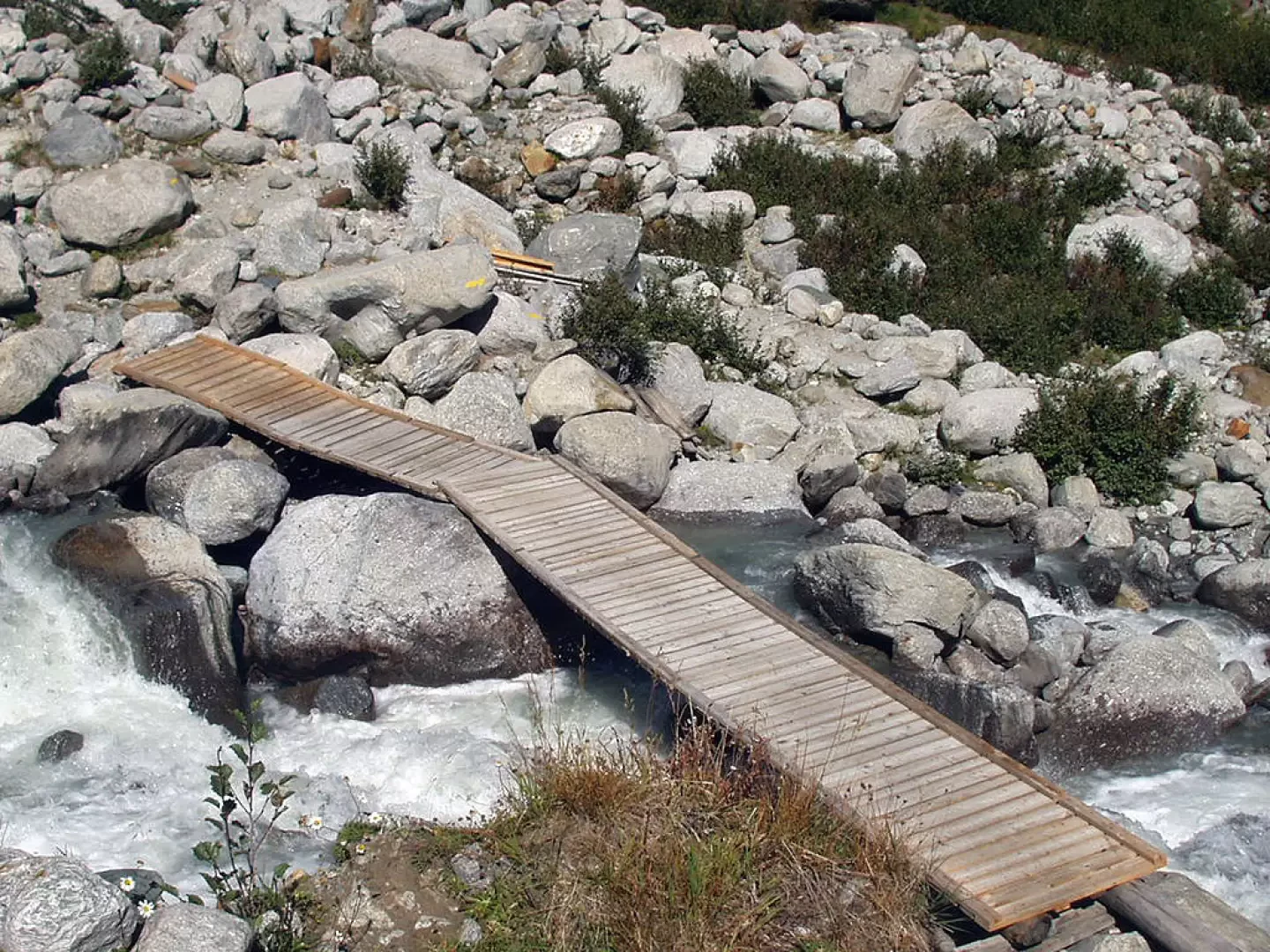
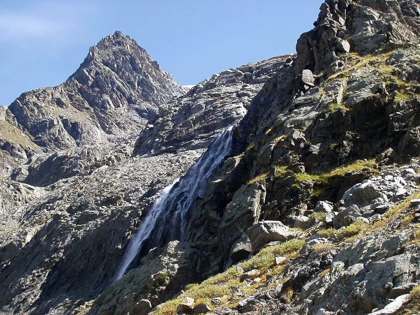
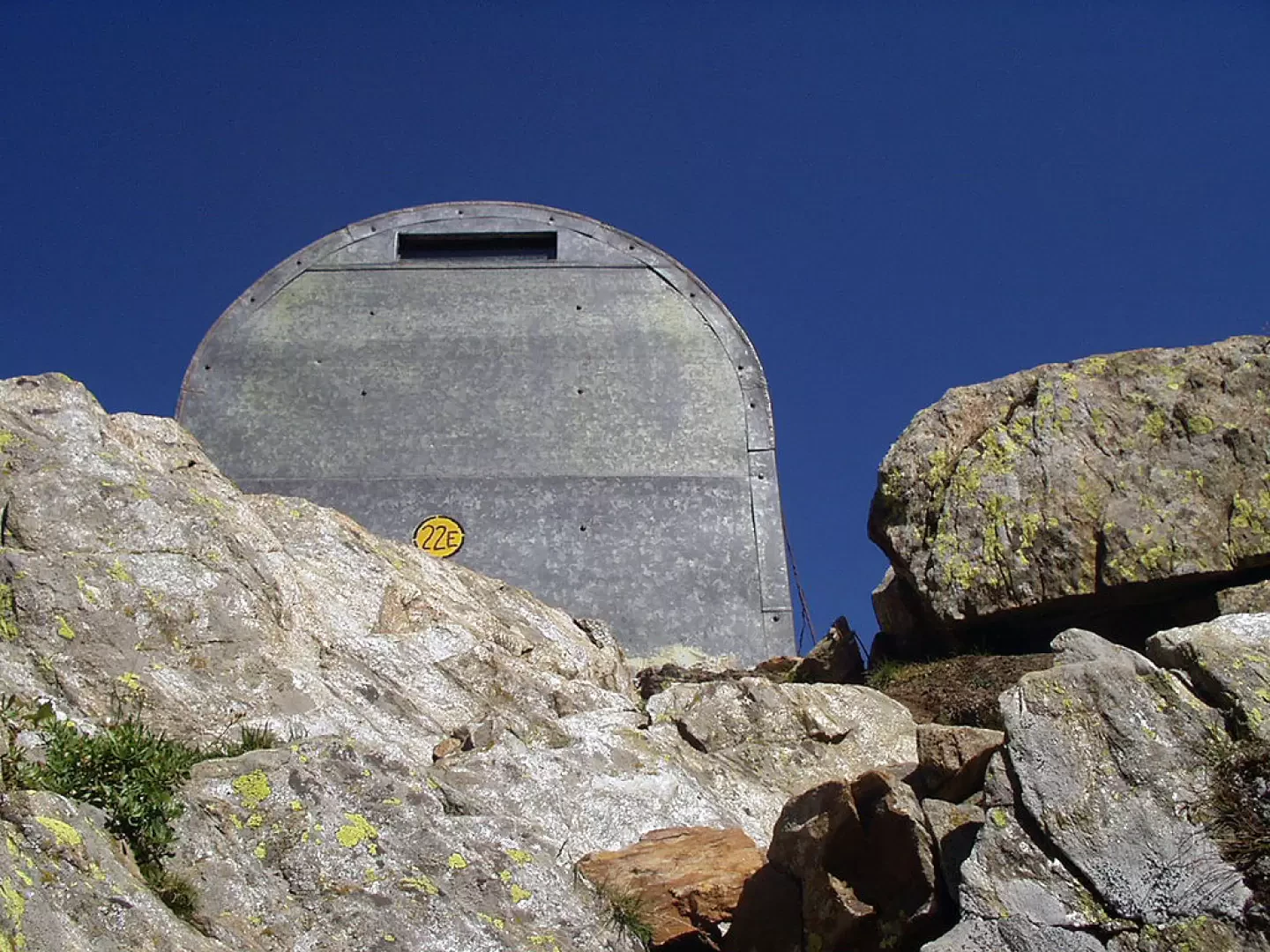
Initially with a moderate incline, enter the forest, cross a few landslides and continue on the path, with a few stepped sections, until reaching an extensive landslide of large boulders, followed by a couple of wooden bridges, right next to a waterfall coming down from the Herbetetet valley (1995m, 1h30'). Proceeding under a vertical rock face for about 15-20 minutes along other stepped sections, we reach the junction with the signpost (22G) for the Leonessa Bivouac. Coming out of the wood, at the next fork you leave the signpost for the Pol and Gerard Grappein Bivouac, keep to the left and cross the Valnontey stream on a couple of footbridges. The most strenuous part of the itinerary now begins. The trail leads to the turnoff for the "Traversata Alpe Money", marker , climbs a small gully of stones and leads to the next fork for the Bivacco Borghi (2225m, 2h20'), marker .
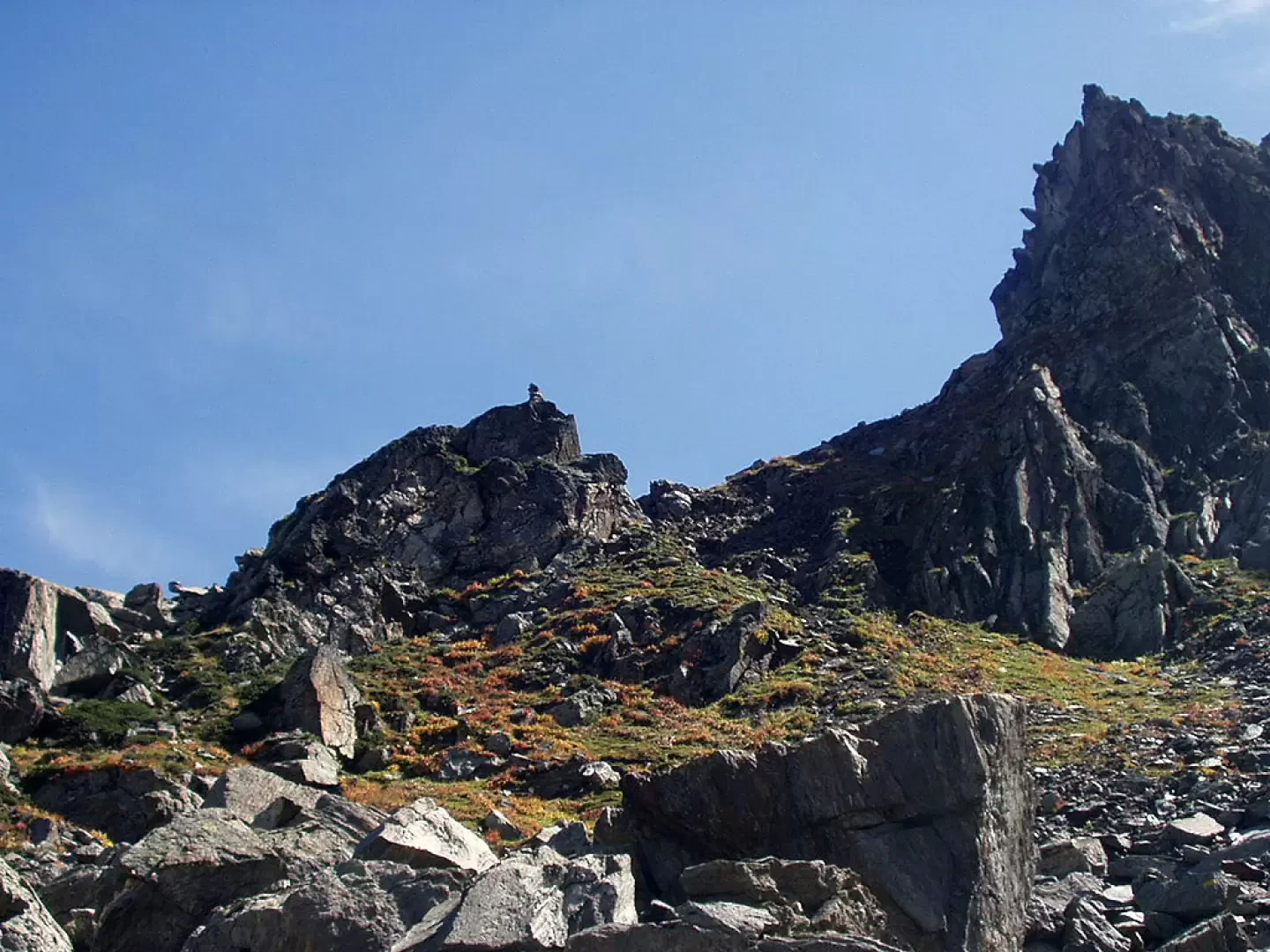
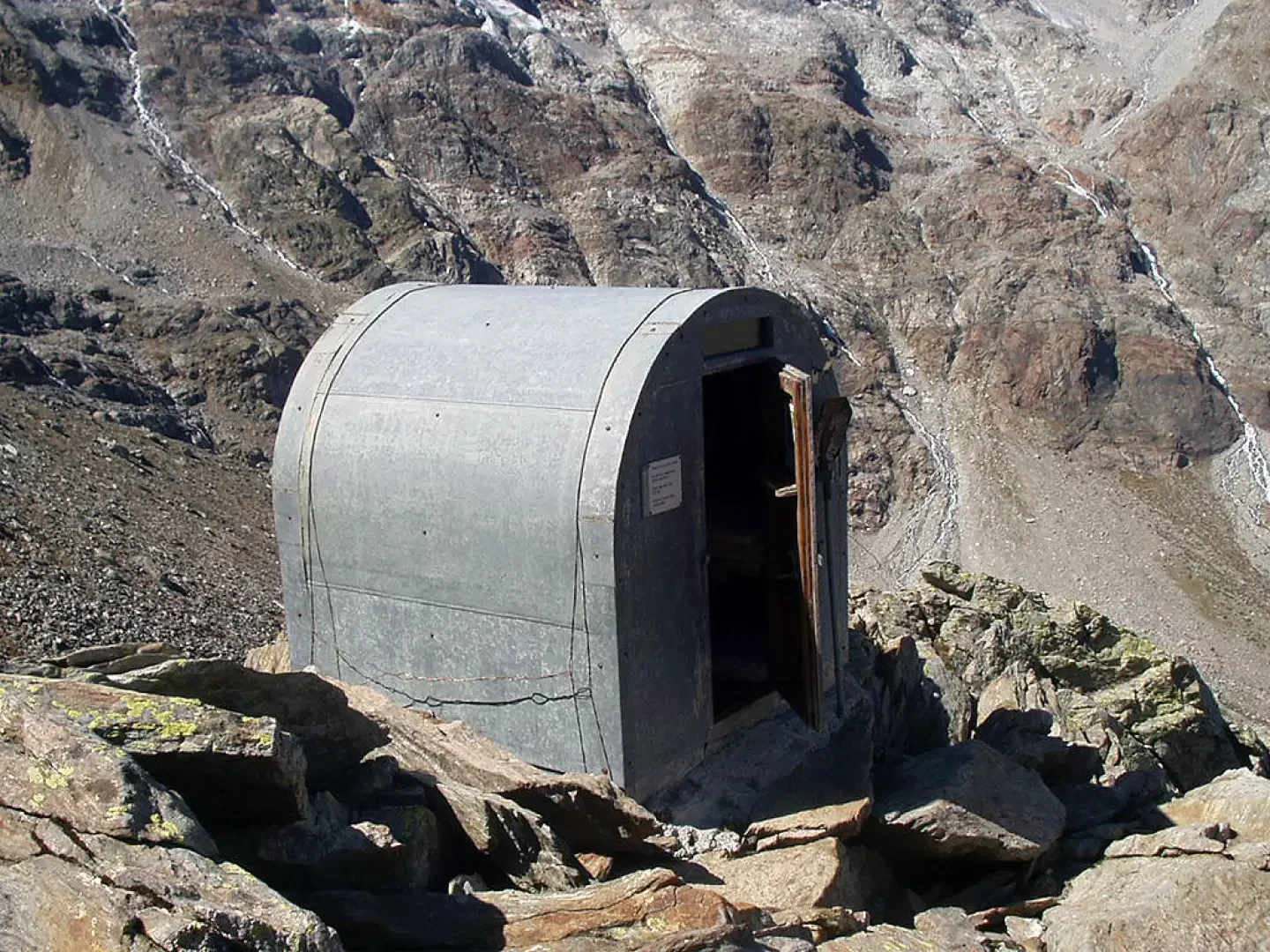
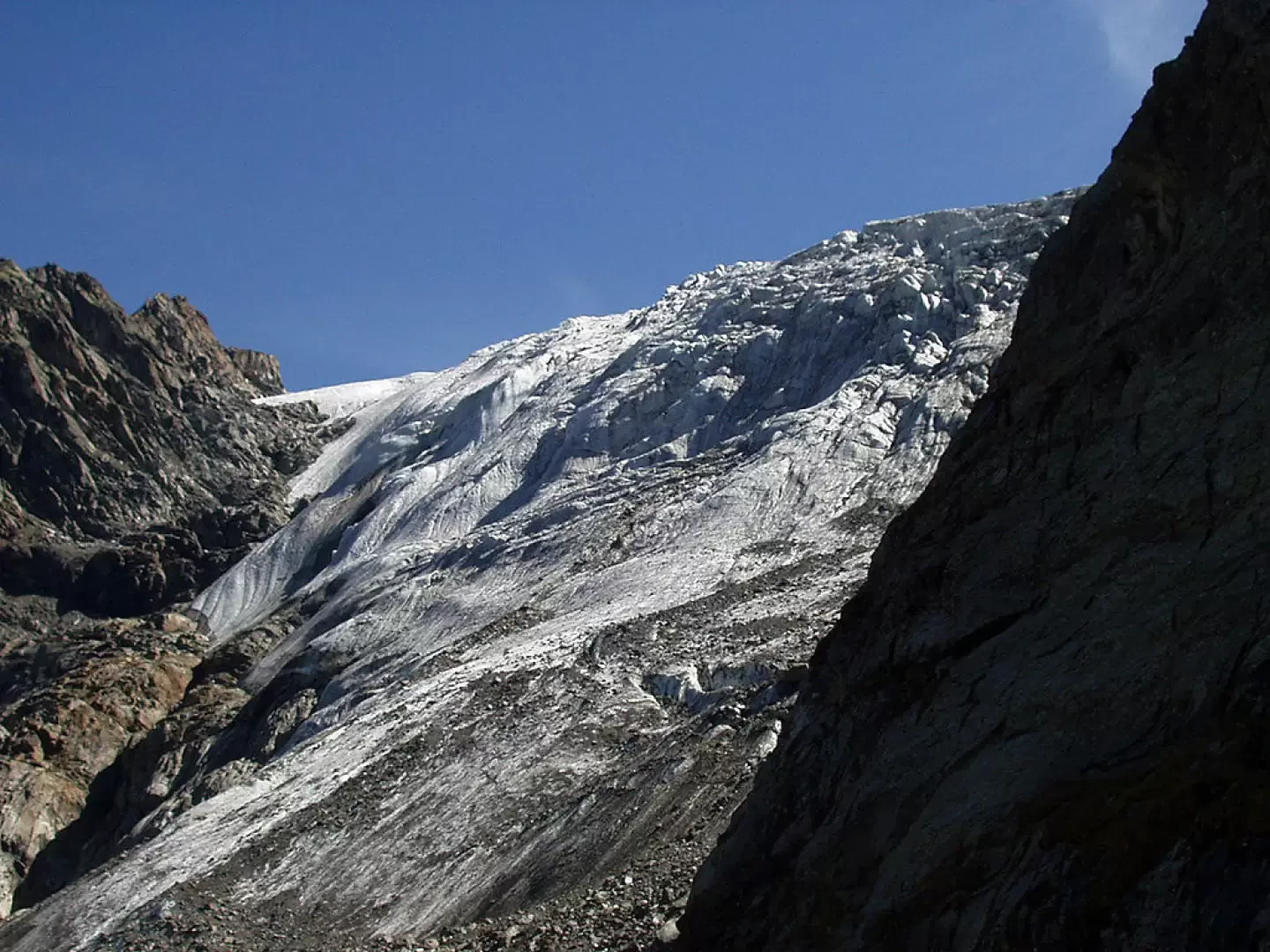
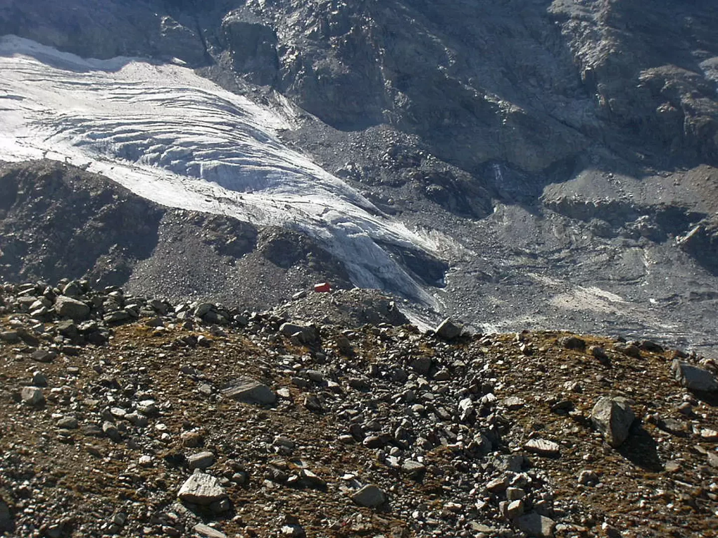
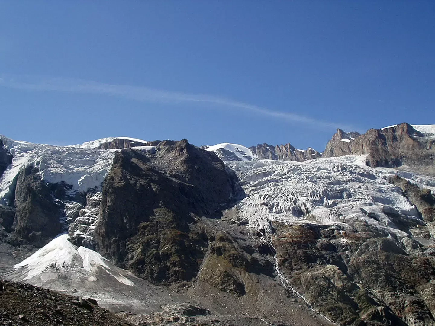
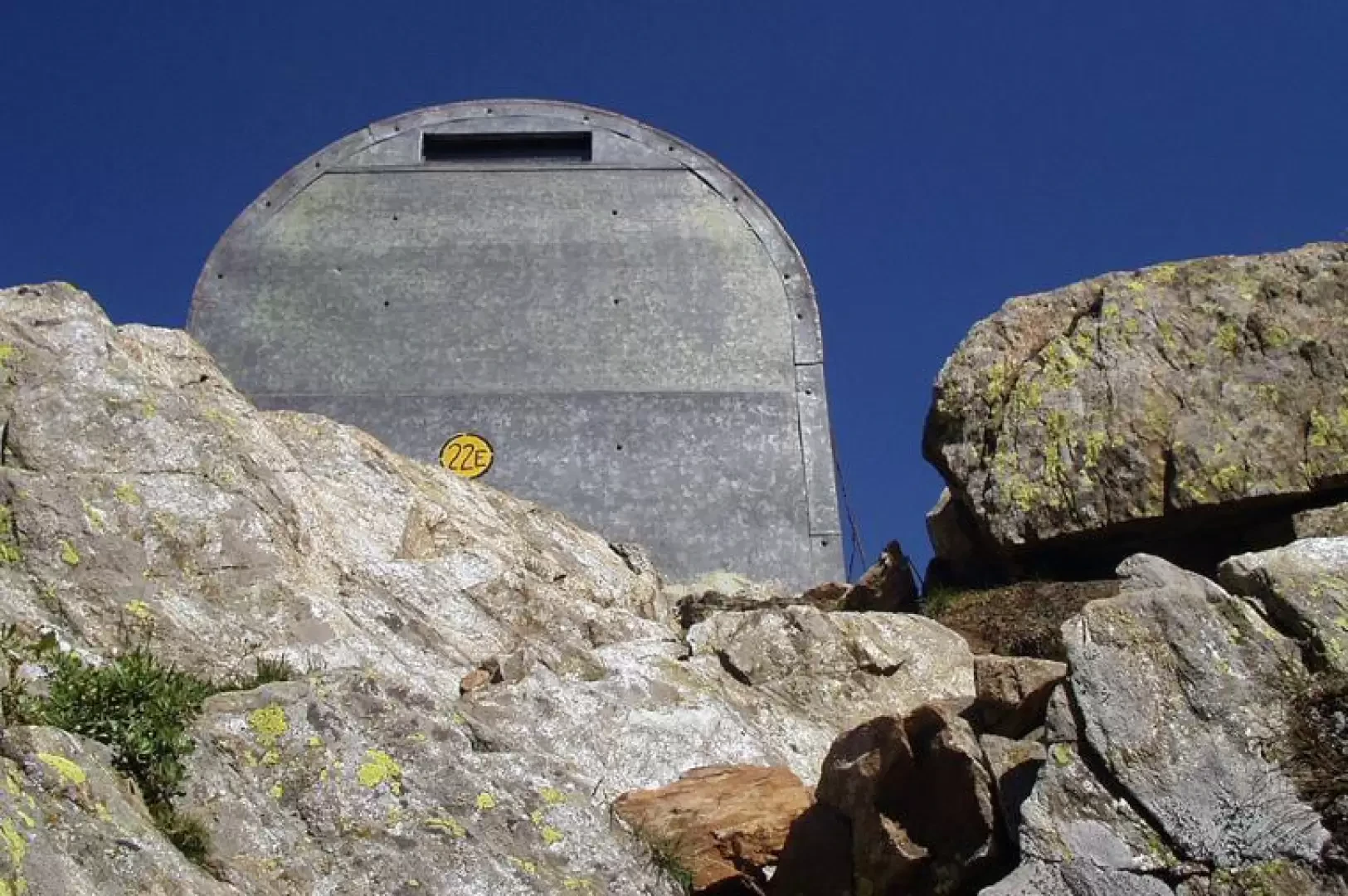
With great views, on the right, towards the "Ghiacciaio della Tribolazione" you follow the trail sign that climbs, with another small gully of stones, directly up the crest of a grassy ridge, you catch a glimpse on the left of a beautiful waterfall formed by the stream that descends from the "Ghiacciaio del Money" and you reach, after a few stretches on large blocks, a small plateau. One last stretch on a steep scree slope and you reach the Bivacco Martinotti pass (2588m, 3h20'), marked by a large cairn a few metres away.The descent follows the same route: descend to the junction for the Bivacco Borghi (2225m, 0h40'), go down to the Herbetetet waterfall (1995m, 1h20'), go along the orographic right bank to Pont des Erfaulets (1830m, 1h45') and on a comfortable path followed by a dirt track to Vermiana (1729m, 2h15') and then to the Valnontey car park (1666m, 2h45').
Galleria fotografica