Becca dei Quattro Denti, from Valgrisenche

Edited by:
Giancarlo Beretta
Updated at: 03/09/2024
Introduction
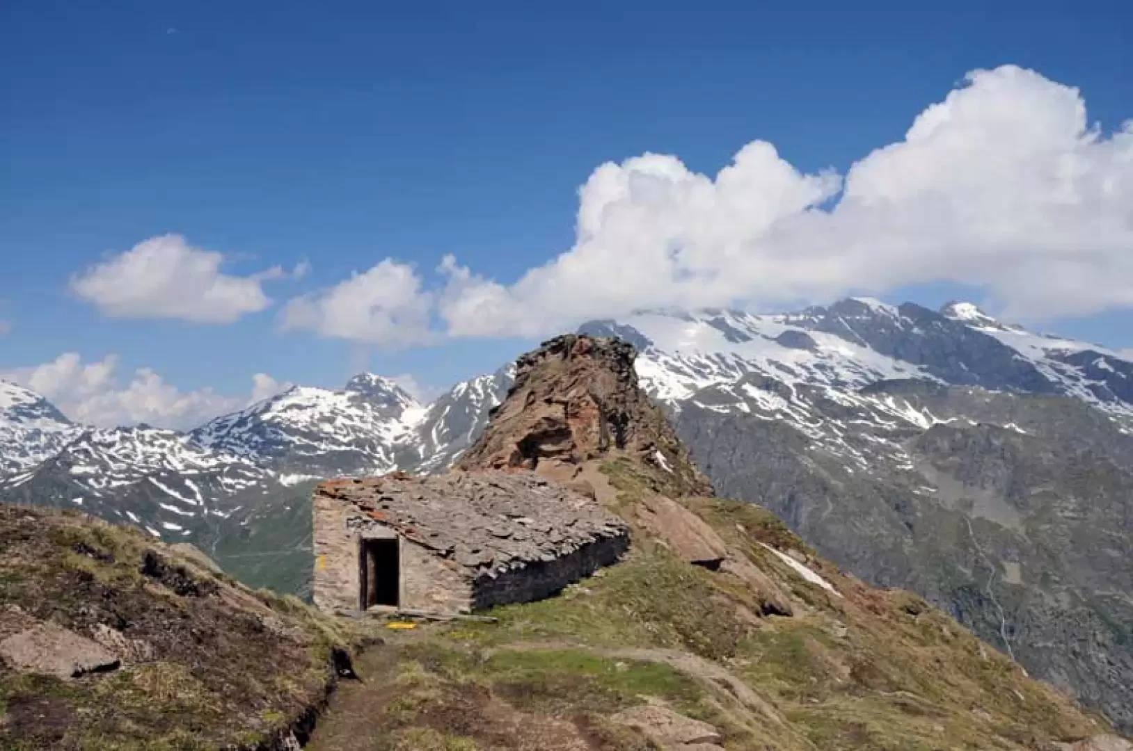
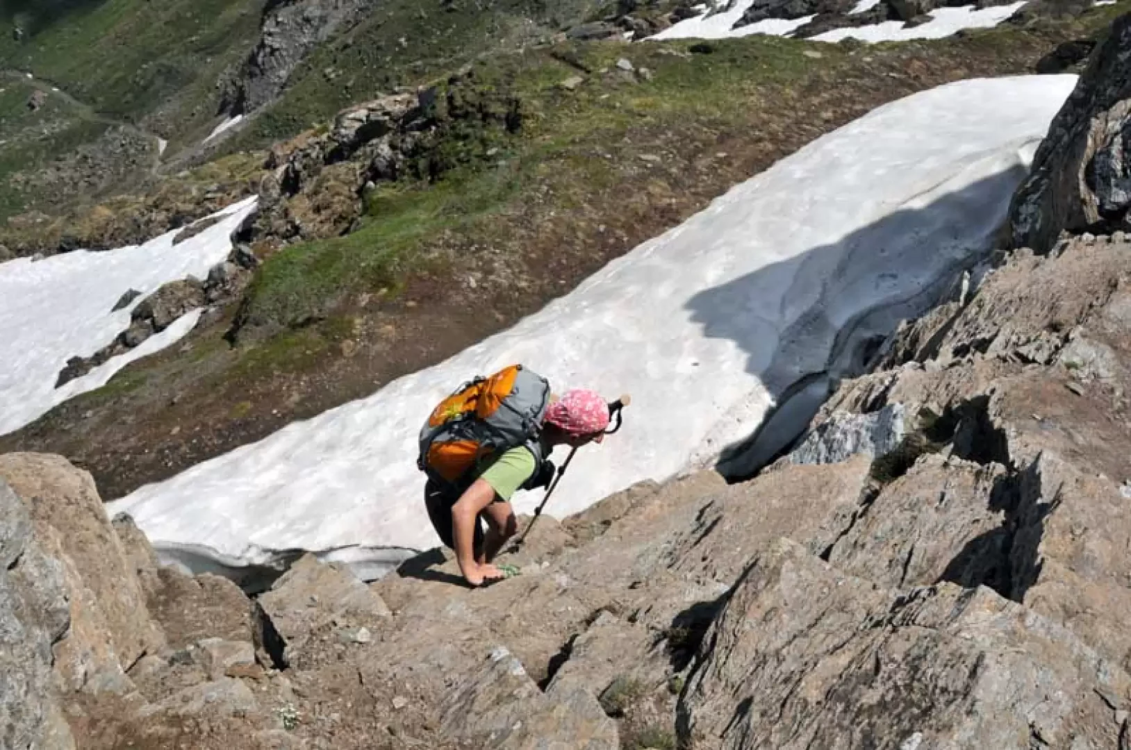
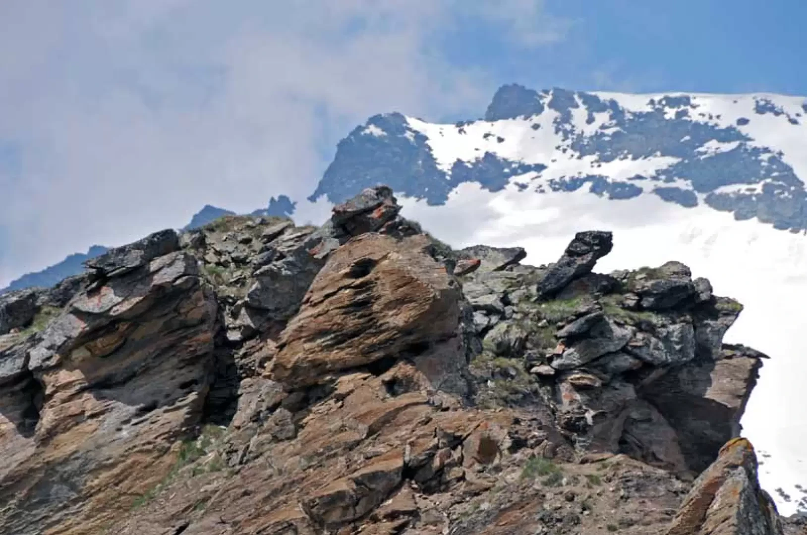
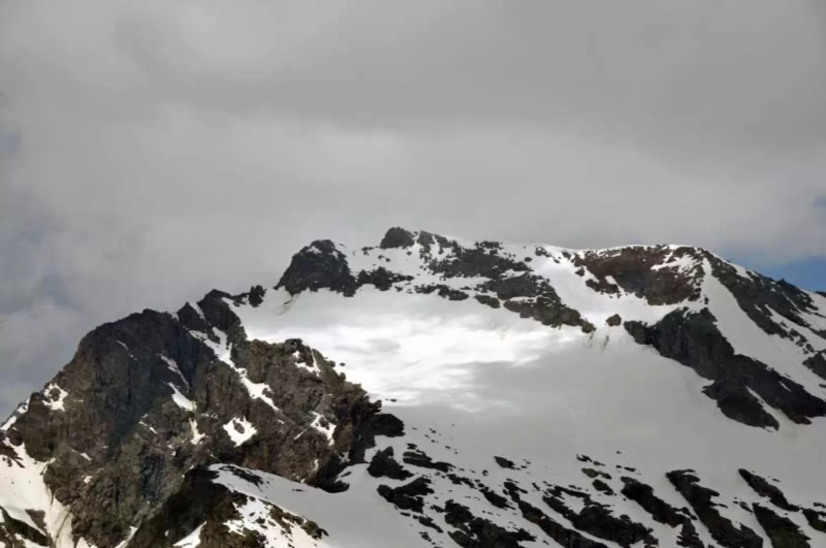
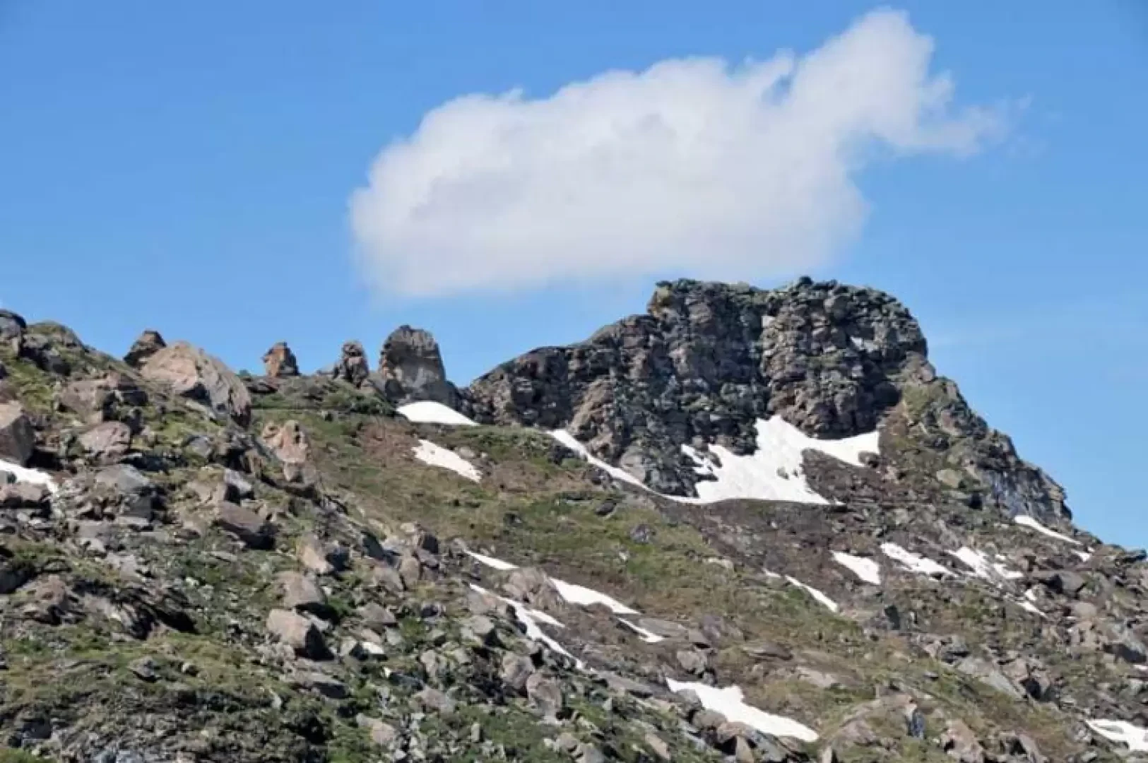
The Becca dei Quattro Denti is the last elevation of a ridge that branches off to the north-west from Punta Feluma and is characterised by the presence of four rocky 'teeth' at the col just before the summit. The ascent to this peak is also combined with the ascent of the Testafochi bivouac, which is located a few dozen metres above it on the ridge. The only technical difficulty is the short but exposed ascent from the col to the summit, where it is necessary to help yourself with your hands; for the rest, care must be taken in the lower parts of the route where the thick vegetation sometimes covers the path, especially on the descent where there are a few stone cairns. The excursion is a ring-route and crosses two valleys: the first, uphill, is wild and little frequented, while the second is wider, with a few alpine pastures and the farmstead that serves them; on the descent, if you are unable to locate the track at an altitude of 2313 m, you can return with the path of the Alta Via 2, which starts just above, and reaches the second water intake and from here return along the uphill route. The panorama, closed towards the west by the spurs of the Punta Feluma, is instead exceptional on the mountain chain that from the lower Valgrisenche rises up to the Ormelune, with the Rutor massif in front of it.
Description
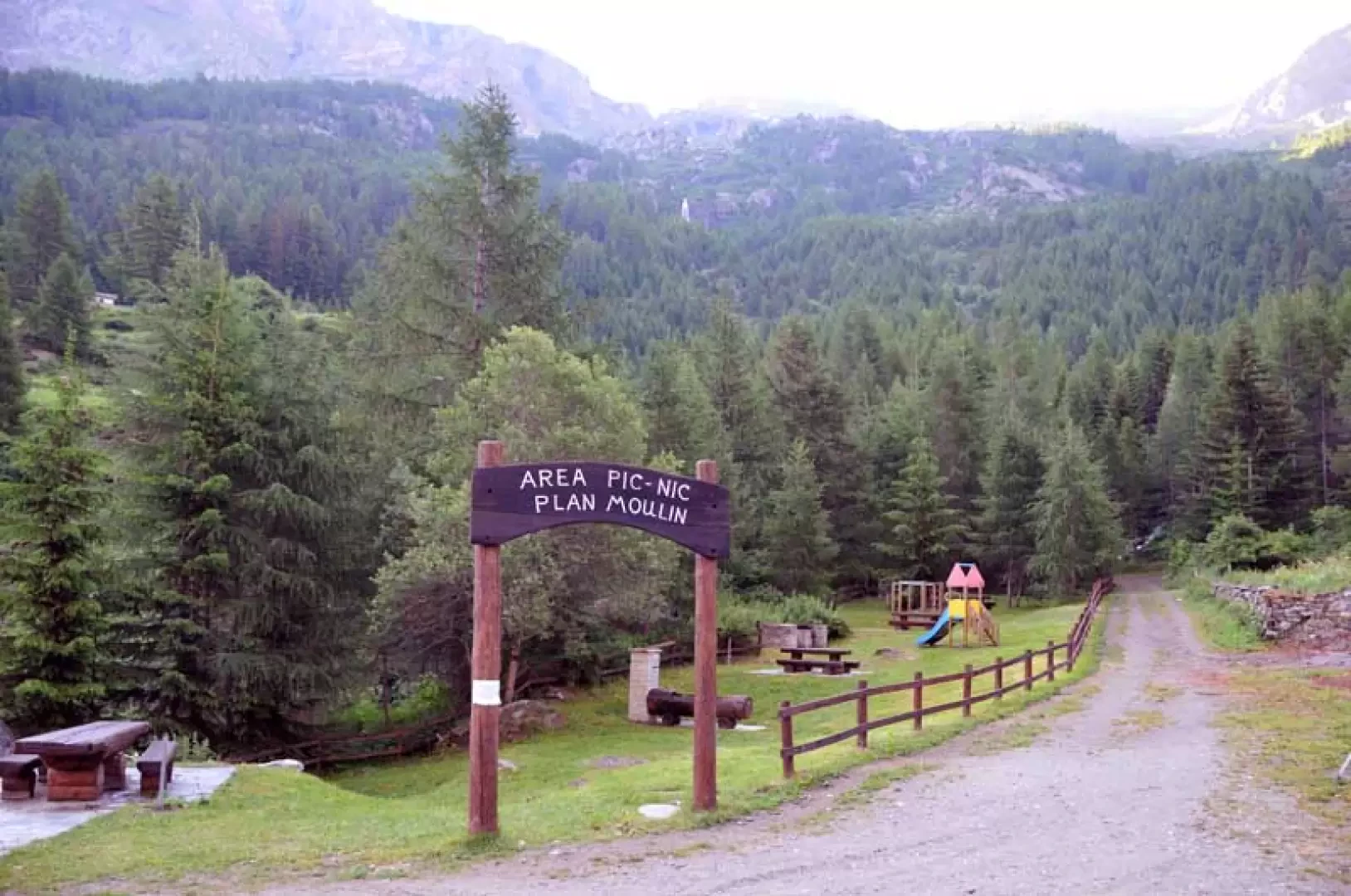
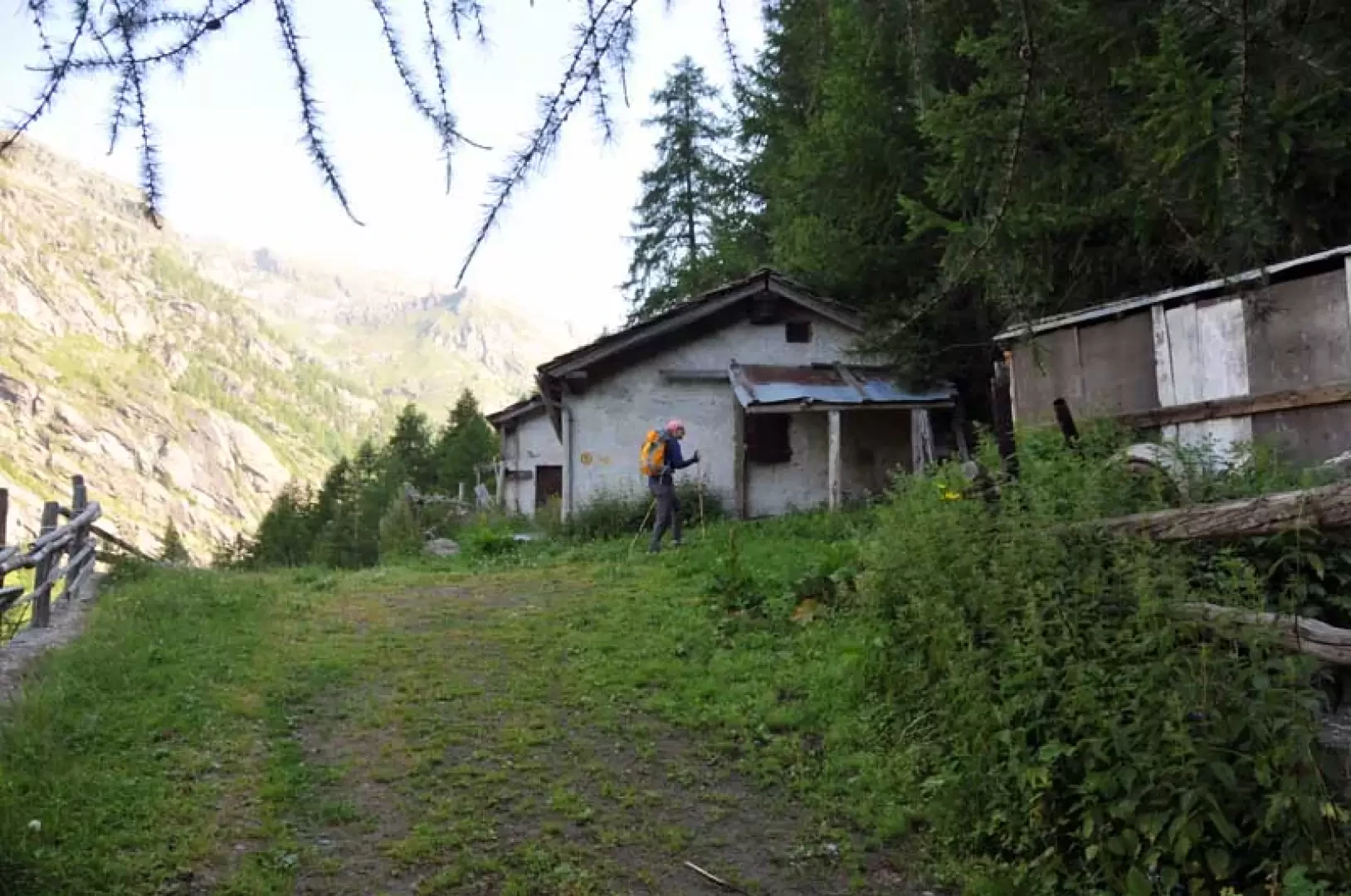
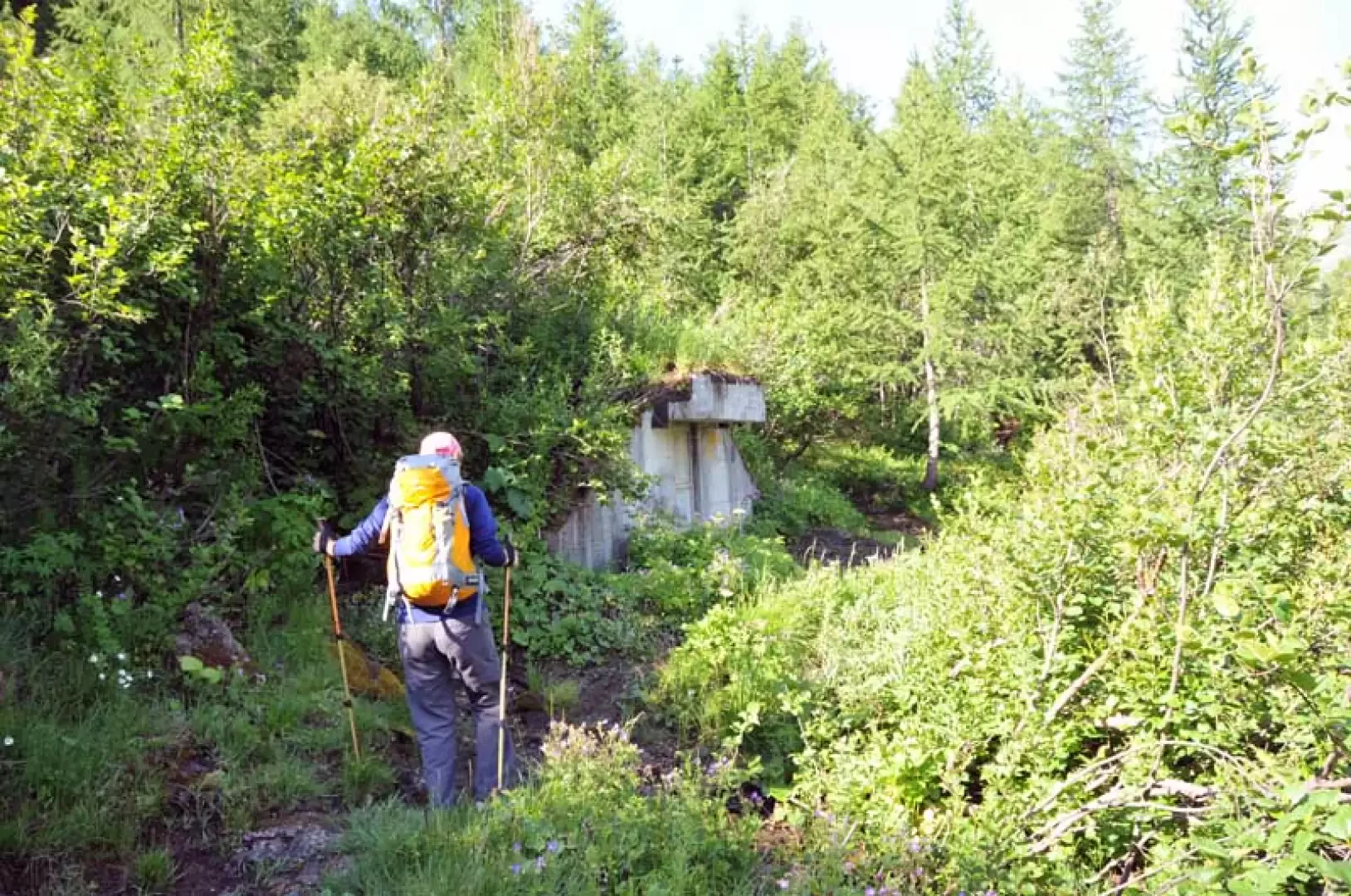
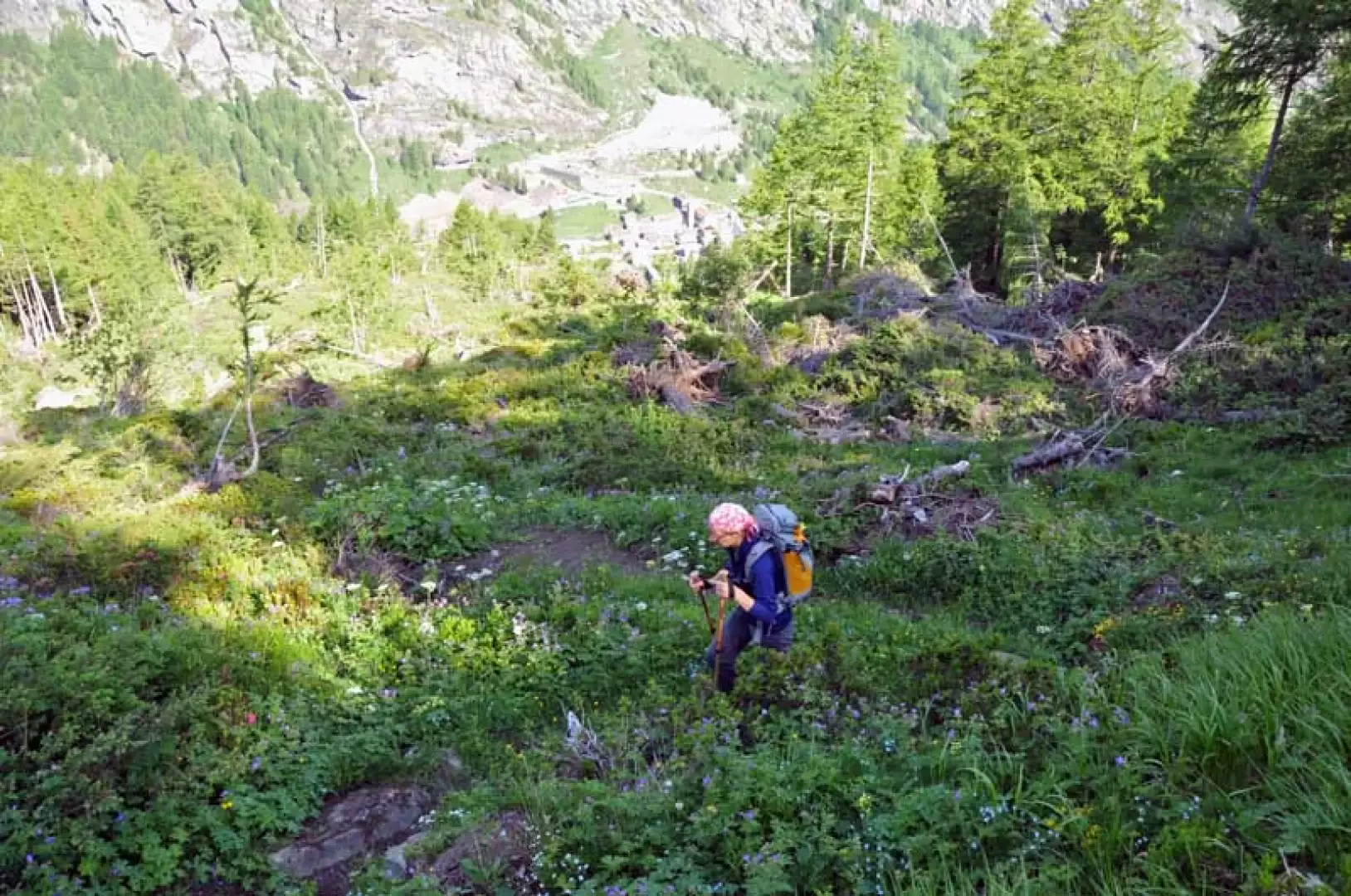
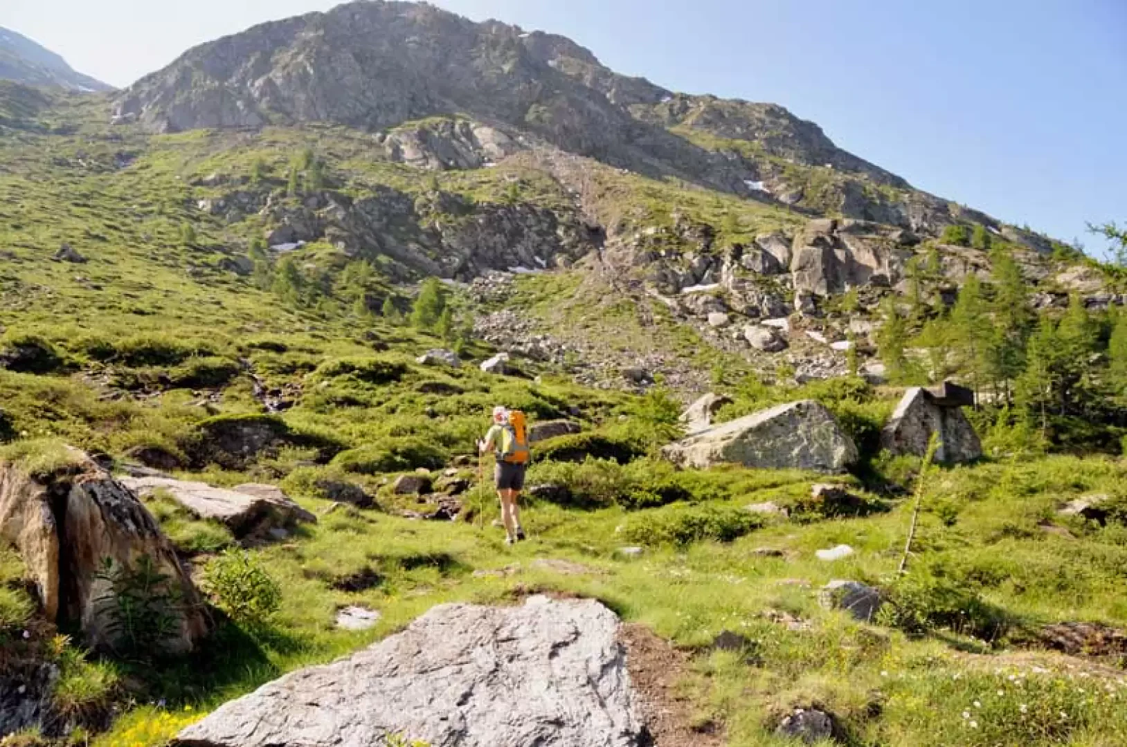
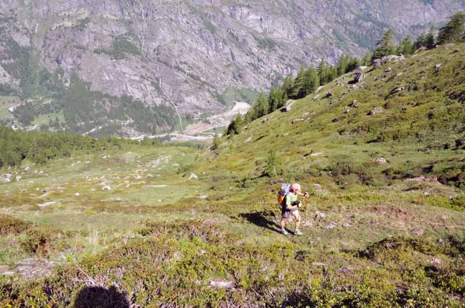
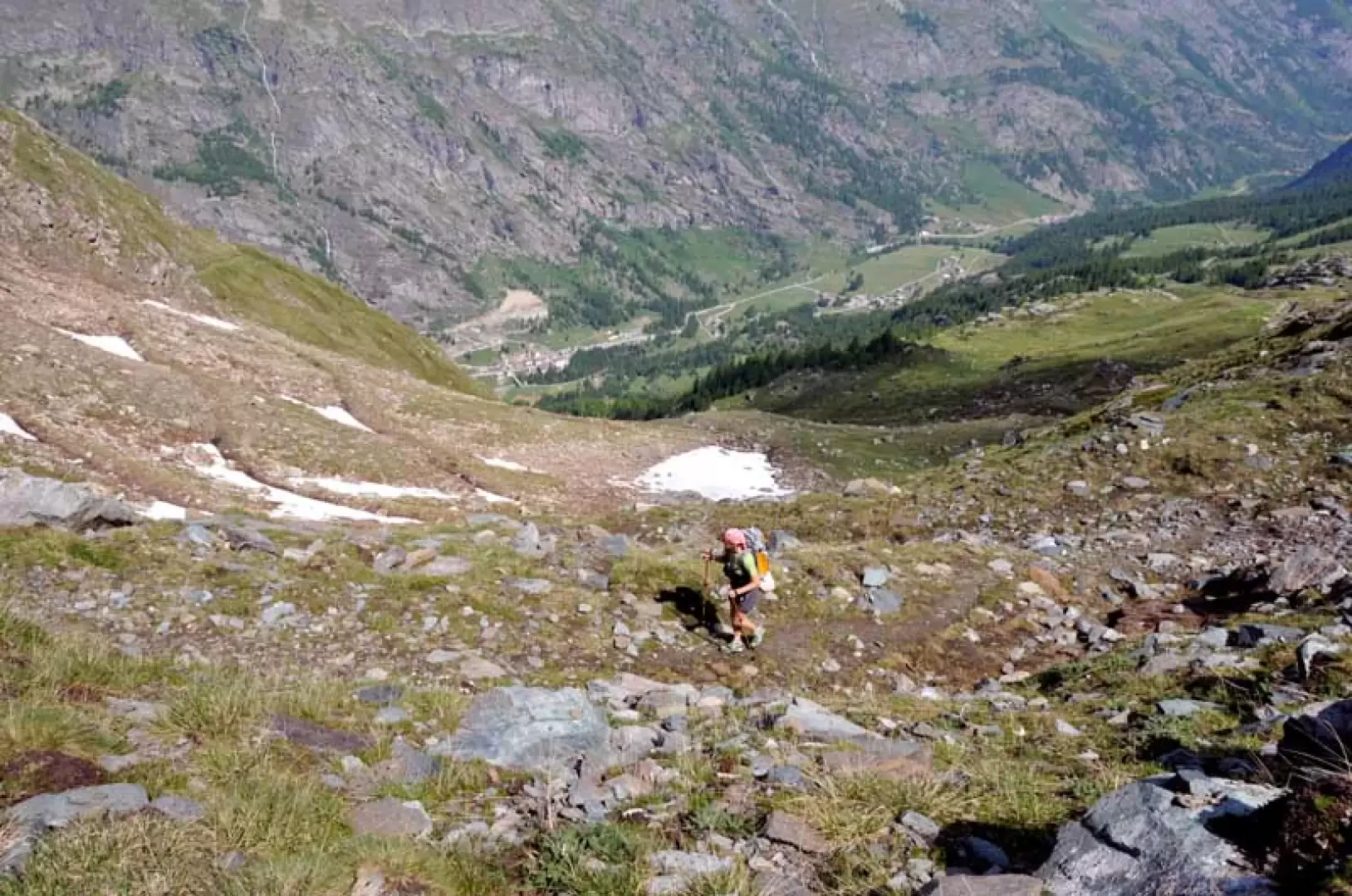
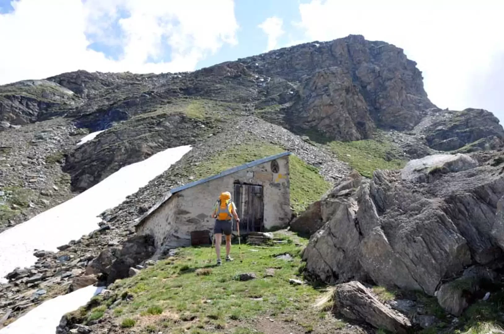
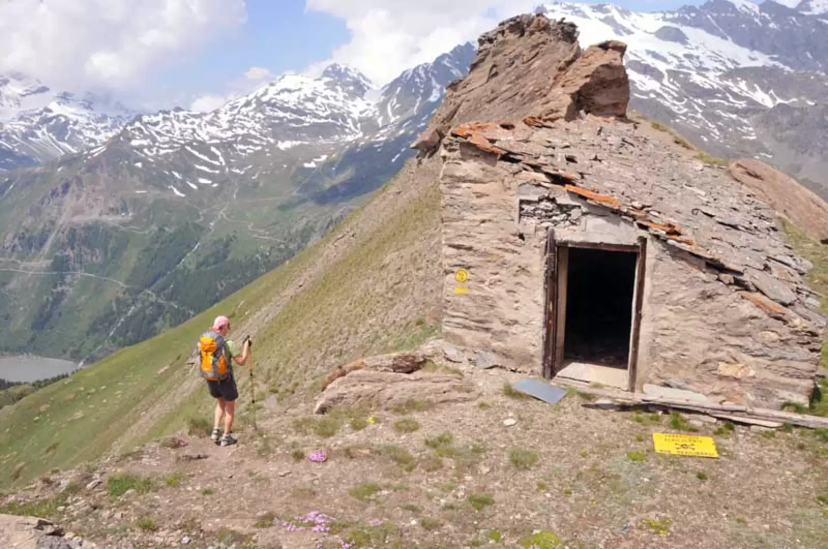
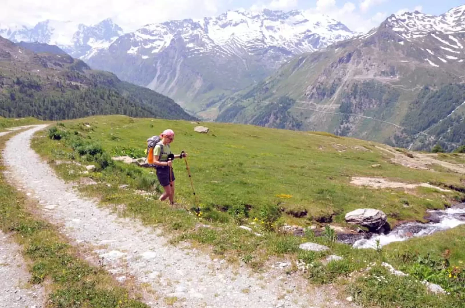
From the picnic area, take the dirt track on the right that rises with a few hairpin bends to the Joux hut (1735 m), which you pass on the right following the sign on its wall. The path rises at a good gradient through dense woodland, passing by a ruin and then heading southwards through dense vegetation and passing by a water intake (1916 m); in this section, several streams are crossed and the path is sometimes covered by low vegetation. Continuing the ascent, one arrives at more open spaces where the forest begins to become more sparse and one crosses a grassy gully where avalanches usually descend, leaving the trees down; having reached the end of the gully, one crosses the path of the Alta Via 2, which arrives from the left and continues to the right towards another water intake and at this point one must, ignoring this path, ascend directly along a track that climbs the entire length of a wide grassy gully. Even in this section, the track sometimes seems to disappear among the low vegetation but, intuitively and with the help of a few yellow markers, one climbs back up the wide expanse, zigzagging along it; the path now turns into a wide track, perhaps an old mule track, and moving to the right, it comes to lap the rocky ridge that descends from the summit, the destination of this excursion. Now the path continues with wide hairpin bends that, at the beginning of the season, in the presence of some snowfields, can be cut, always aiming at where the valley narrows in its upper part and then moving to the right and ascending the last stony stretches to reach the col where there are four rock "teeth" and where there is also an old ruin (2634 m). Continue to the side of the ruin on the right and arrive where there are stepped rocks that lead to a small ridge, which you follow, arriving shortly at the small peak where there is a small stone cairn; a few dozen metres below the peak there is a cross that dominates the village of Valgrisenche from a grassy promontory. Returning to the ruin, continue along the elementary ridge along a path that runs almost along the edge and shortly arrive at the Testafochi bivouac (2,700 m), which dominates the upper Valgrisenche, being situated on a panoramic watershed that descends from an anticima of Punta Feluma and where there is a plaque commemorating the passage of John Paul II and a high-relief with an effigy of the Madonna. For the return journey, reach the ruins below the peak again and descend to the left, following the evident path that rapidly loses height towards the valley below until it crosses (2398 m) the farm track that runs along it; continue as far as the alpine pastureland of Catin below (2332 m), below which, still on the road, there is a ruin a little further on, from which a track (2313 m) starts off on the right at a stream, which is not very visible but is marked by a low stone cairn. One heads towards an evident rock topped by a small ruined wall and continues to the right, descending through a narrow gully full of rhododendrons: in this section, one must pay close attention to the direction of the track, which tends to disappear among the dense vegetation, helped by a few rare stone cairns. On the descent, after having passed a couple of small streams, you arrive at the only old yellow marker (2137 m) bearing a faded number 18, after which the track descends more decisively with narrow hairpin bends and arrives at a crossroads (2054 m) with the path coming from the main town. Follow it until it touches the tarmac road and continue until the next crossroads with the road, which you only walk along for a few metres and then take the path again, which enters the forest and soon arrives near the sports area. You now shortly reach the main town and turn right over the bridge leading to the picnic area, the starting point of the hike. Photo gallery
Galleria fotografica