Becca de Viou, from Blavy

Edited by:
Massimo Martini
Updated at: 30/06/2025
Access
Leave the A5 motorway at the Aosta Est exit. Continue on the ss26 as far as the entrance to Aosta and then as far as the Arch of Augustus: just before the Roman construction you will come to a traffic light and turn right. Follow the road in the direction of Saint-Christophe and, after passing through a subway, continue to the right. From here begins the long stretch of road that takes us through the villages of Theuvex and Sorreley. Just before another village (Crétallaz), the road turns left (follow to Blavy). We continue on the narrow road and after passing Parléaz we finally reach the pretty village of Blavy, with its beautiful little chapel, the starting point of our itinerary.
.Introduction
Interesting outing to a very scenic peak above Aosta. This excursion can also be completed with an ascent to the adjacent Mont Mary and the closure of the ring-route around the Becca di Viou itself.
Description
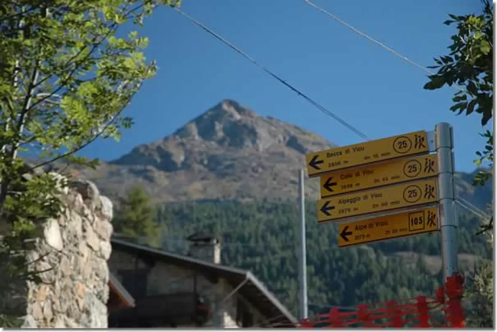
Leaving the car in the large car park near the characteristic Blavy chapel (1471m), we climb up a small tarmac road for a few hundred metres until we come to a signpost that tells us to turn right. We take a path that crosses a group of houses and, after encountering another fountain, reaches an agricultural road after a few minutes: we turn right and begin to climb it. As you follow the road, you will first come across a round irrigation pool and then, on the left, the start of the path proper (ignore the road that descends to the right towards Parléaz).
Follow the path up through the fir forest and after about ten minutes, you will cross the farm road for the first time, which leads to the Alpe di Viou and, after passing a building used as an aqueduct, continue along the road on your left, ignoring a gravel road on the right. After a couple of intersections with the farm road, take the path again on the left that enters the forest. We ascend the mule track, which at first steeply takes us up a section of the ridge and then tends to the right at a lower gradient, passing below a scree slope. After a few hairpin bends and a last diagonal stretch, after 1h00' you reach the farm road again: follow it for about fifty metres and you join the path again, which crosses the pastures and in 10 minutes reaches the Viou Alp (2078m, 1h25'): from up here you can already enjoy a splendid panorama of Aosta and the Grivola.
Leaving the alpine pasture, on the left of the longest building we meet the yellow arrows, we go up the pastures above going to the right until we reach a small ridge; we follow it for a few tens of metres and then turn left towards the Tsa de Viou (2202m, 1h45'): note a very characteristic fountain.
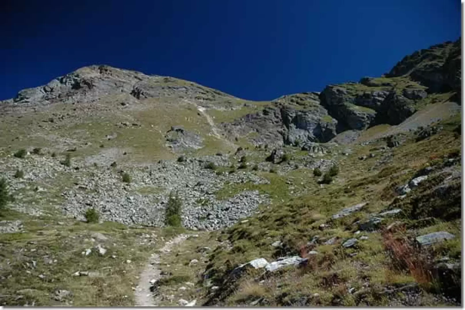
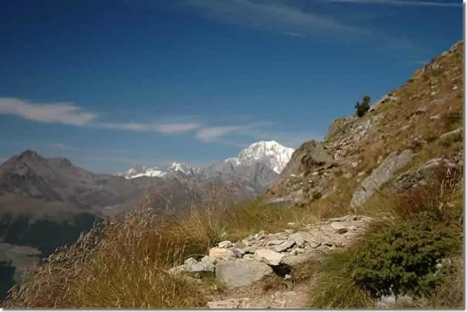
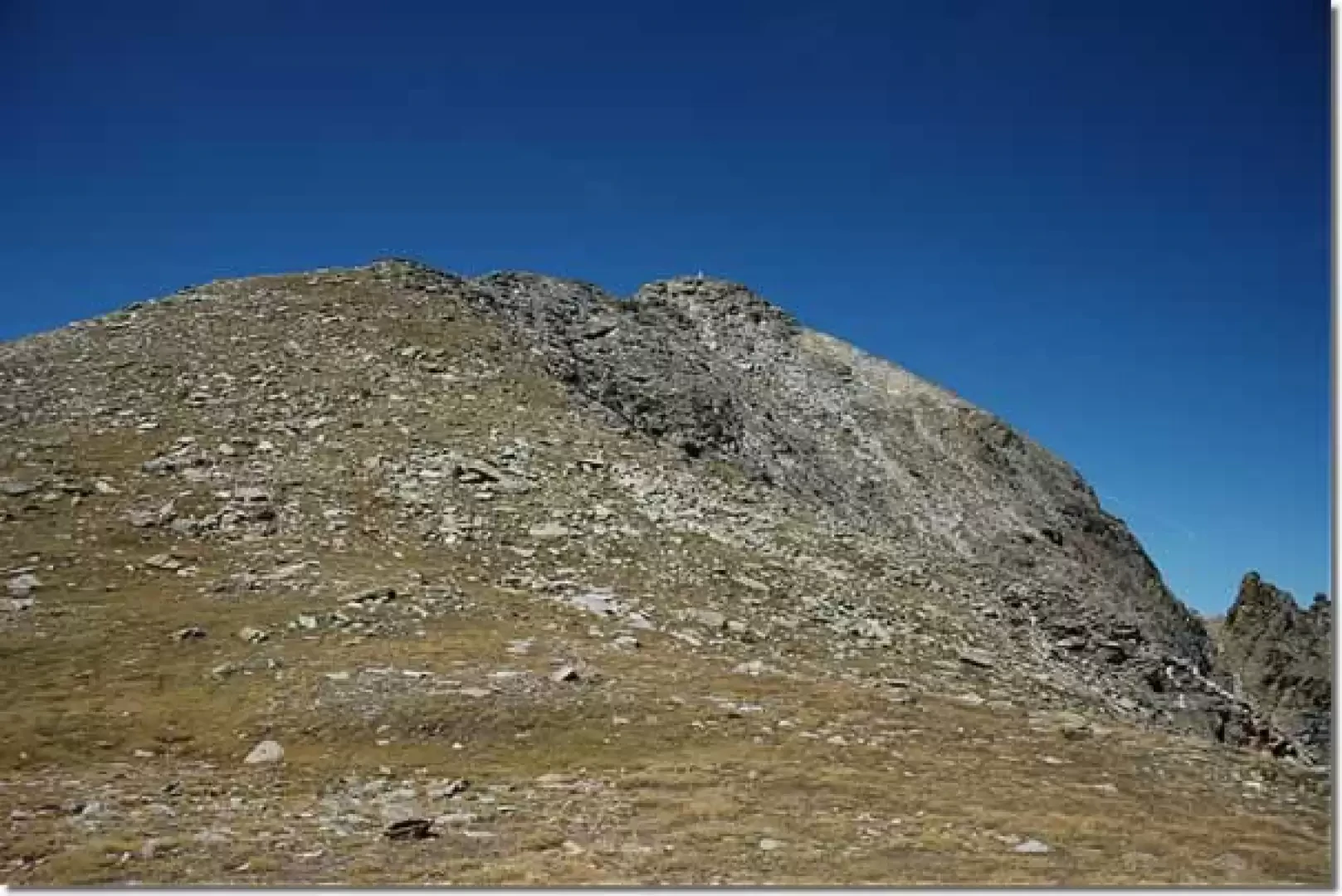
We now head in the direction of the Becca, which is now clearly visible above us, following the path that, without an excessive incline, crosses the pastures among patches of rhododendron (Rhododendron ferrugineum) and bilberry until we reach the pass. From here, the path changes its gradient decisively, crosses a debris drainage and climbs up the south-west ridge of the Becca while slowly opening up splendid views of the distant Mont Blanc. With a series of hairpin bends, we gain height until we reach a gully, which we cross comfortably; from here the trail climbs steeply again to the right and then declines near the rounded summit of the Col de Viou (2698m, 2h55').
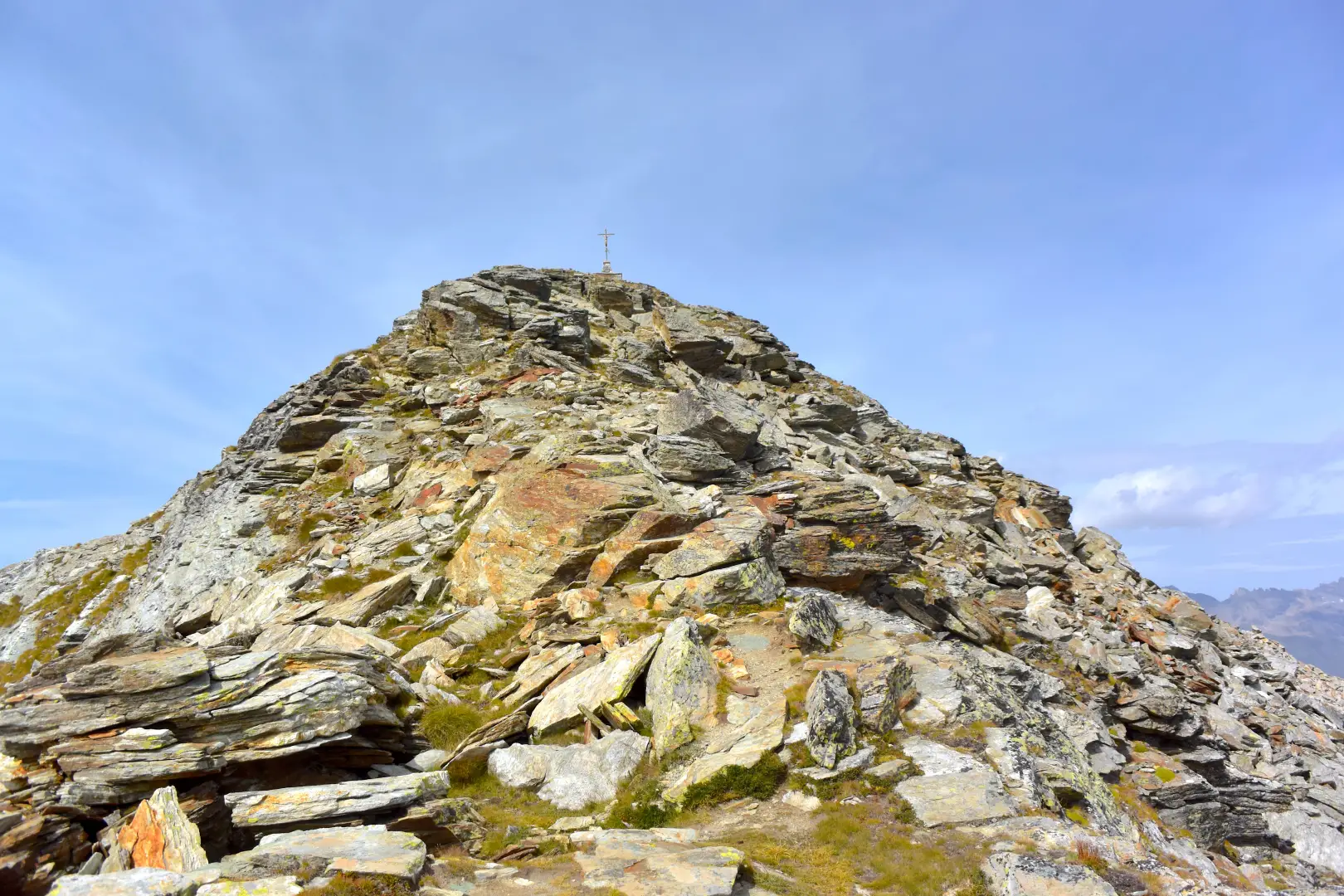
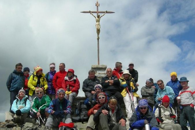
From the col, go up a track along the wide south "crest" of the Becca di Viou: leaving the Bivacco Penne Nere (2730m) on the right, go up a sparse pastureland at the end of which you cross a short stretch of broken rocks. The summit is now in the vicinity, the path bypasses a few small rocks and reaches the peak marked by a metal cross (2856m, 3h00').
The view from up here is incomparable: given its central position, practically all the mountains of the central-western Aosta Valley can be seen.
The return trip is along the same route as the outward journey.
Galleria fotografica
We have been there

Edited by:
Silvia Quaglino
Becca di Viou
premesso che la difficoltà maggiore si incontra ad arrivare sino a blavy. ( è la 4° volta che vado sulla becca ma la stradina stretta che porta a blavy non invoglia di certo). inoltre la località blavy è segnalata solo a partire dall'ultimo bivio importante, prima occorre seguire le indicazioni per "la montage". sentiero ottimamente segnato e buono. un po' acquoso sotto la penultima baita ( l'ultima ancora utilizzata). attenzione alle capre al colle di viou, che se non vengono allontanate, tendono a seguire. (cartello del padrone che invita a mandarle via). ottima giornata, metereologicamente parlando. accompagnato mio marito ( che un incidente ha bloccato mentre si allenava per l'UTMB) per vedere se la situazione inizia a migliorare.... di animali proprio pochi, un piccolo cervo, un'aquila e neanche una marmotta.
Edited by:
Massimo Martini
Becca di Viou
La bella giornata di sole ha permesso lo svolgimento della gita secondo il programma. La partenza è avvenuta da Blavy (1471m). Seguendo il sentiero (segnavia 105) si è arrivati , attraverso un bellissimo bosco di pini e abeti, all'Alpe di Viou (2062m) poi alla Tsa de Viou (2202m) e poi arrivo al Colle (2698m). A una cinquantina di metri si vede sulla destra il pianoro che ospita il Bivacco Penne Nere. La vetta è ormai vicina; ancora qualche piccola roccetta ed eccola contraddistinta da una croce in metallo a quota 2.856m con una vista magnifica a 360° . Non si è raggiunto il Mont Mary causa la presenza di ancora parecchia neve. Il rientro è avvenuto sullo stesso itinerario dell’andata.
Partecipanti: 32.
Edited by:
Massimo Martini