Bec de Nannaz, from Mandriou

Edited by:
fabio_olmo
Updated at: 26/06/2025
Access
Leaving the motorway at the Verrès exit, enter the roundabout and take the second exit. Proceed in the direction of the town centre and, after 300m, turn left onto the regional road for Val d'Ayas. Follow the regional road for 22.1 kilometres, passing through the villages of Challand-Saint-Victor and Challand-Saint-Anselme, Brusson, Vollon and Extrapieraz until you come to a crossroads for Antagnod in the hamlet of Corbet. Turn left and follow the regional road to Antagnod, passing the villages of Lignod and Antagnod. After about 4 kilometres you'll come to the turnoff for Barmasc, ignore the left turn and continue along the municipal road for 1.3 kilometres until you come to the turnoff for Mandriou. Turn left and drive up Route de Mandriou for a further 1.6 kilometres until you reach the free car park 🅿️ facing the village. In case of heavy traffic, turn back and park along the road, taking care not to get in the way.
[0h44'] - [28.6km]
How to get there with GMaps
How to get there with Apple Maps
The directions given here were verified at the time of the route survey. Before setting off, it is advisable to ensure that no substantial changes have occurred on the route to the starting point. We therefore recommend the use of the satellite navigation apps provided by Google or Apple for up-to-date and detailed directions.
Introduction
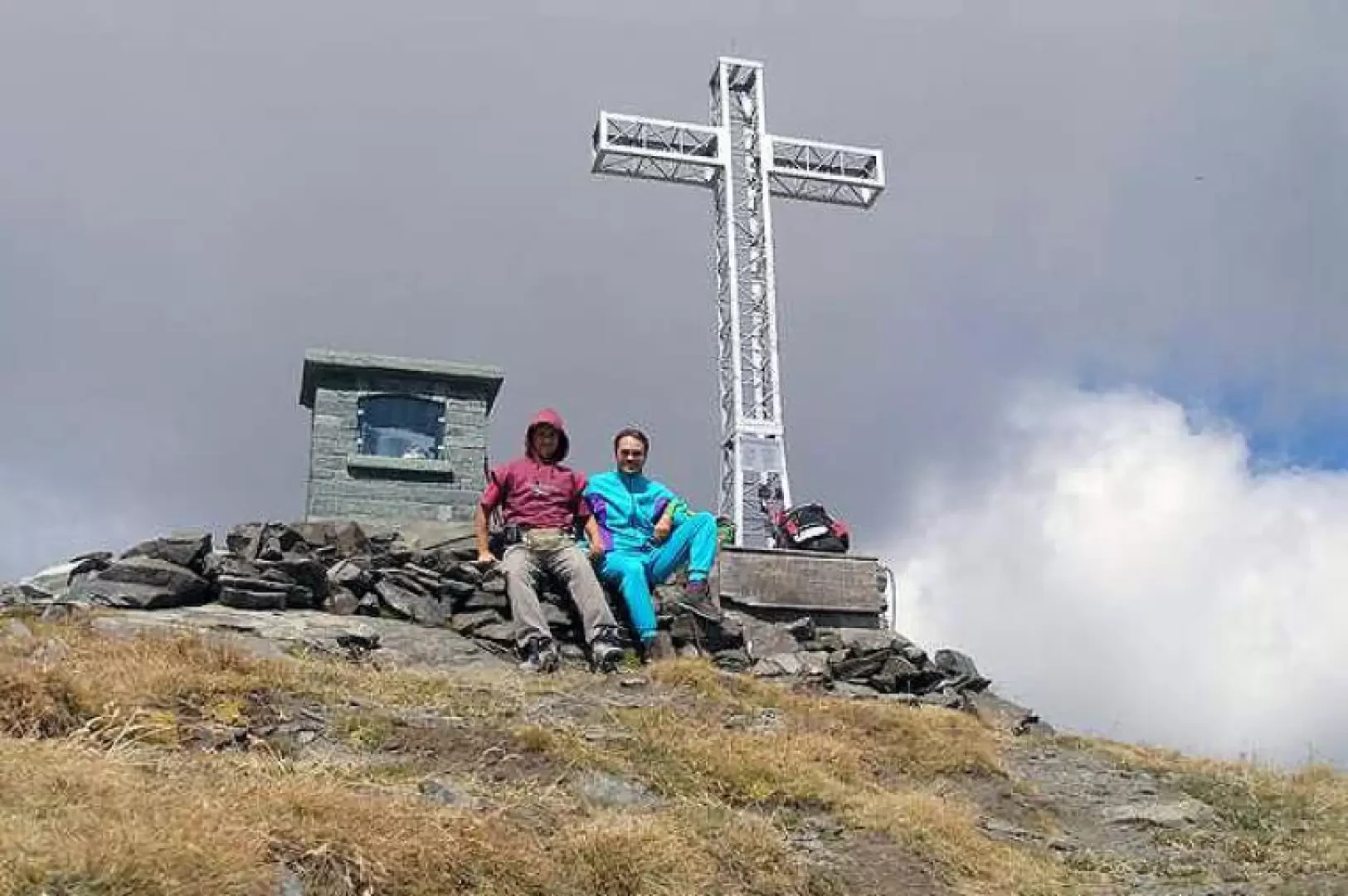
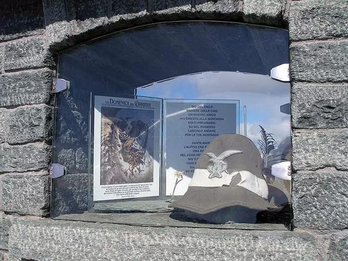
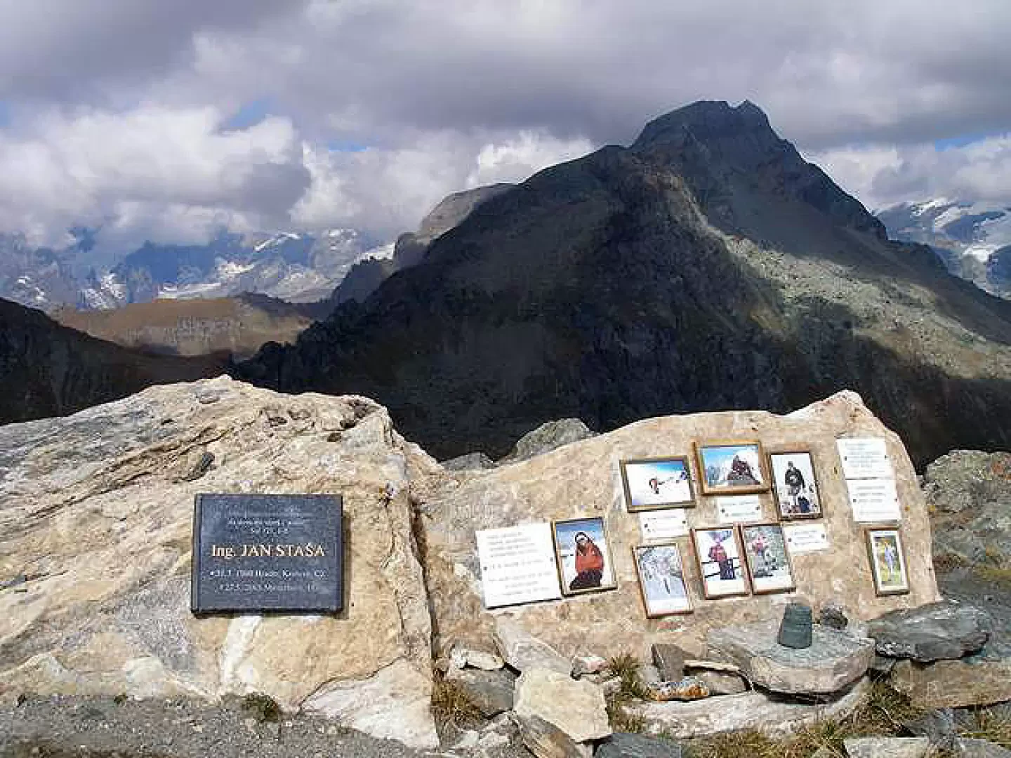
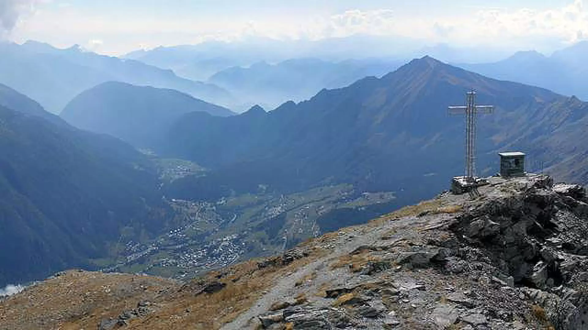
The Bec de Nannaz or Falconetta (so called because of the numerous falcons on its summit) is one of the classics of the beautiful Ayas Valley. On 14 August each year, a mass is celebrated on the summit in memory of the mountain's victims, some of whom are commemorated with plaques placed on rocks.
Description
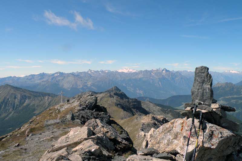
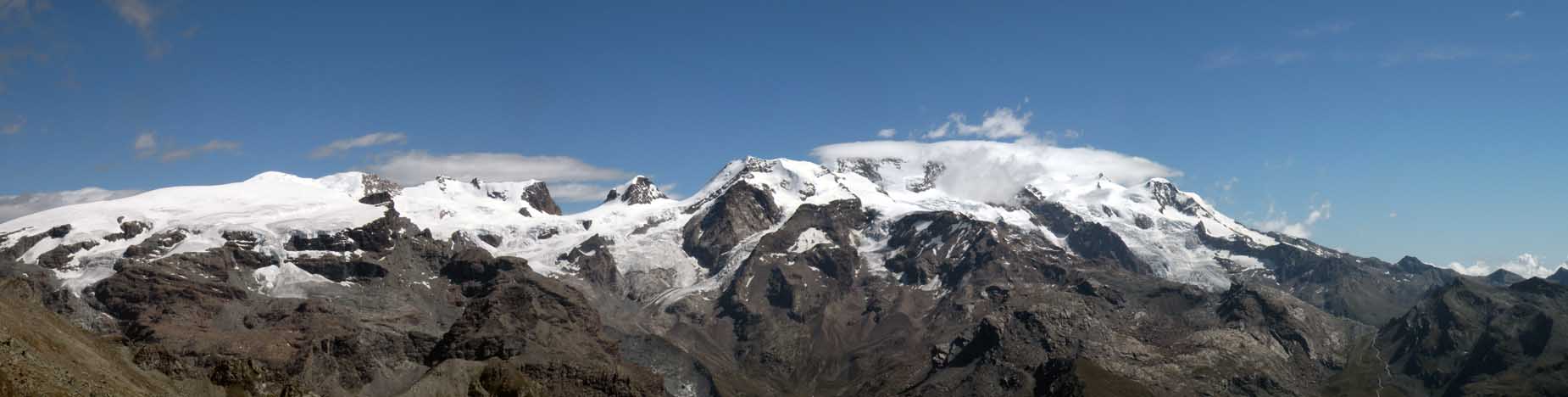
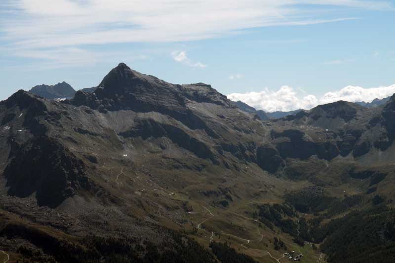
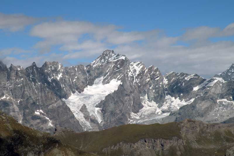
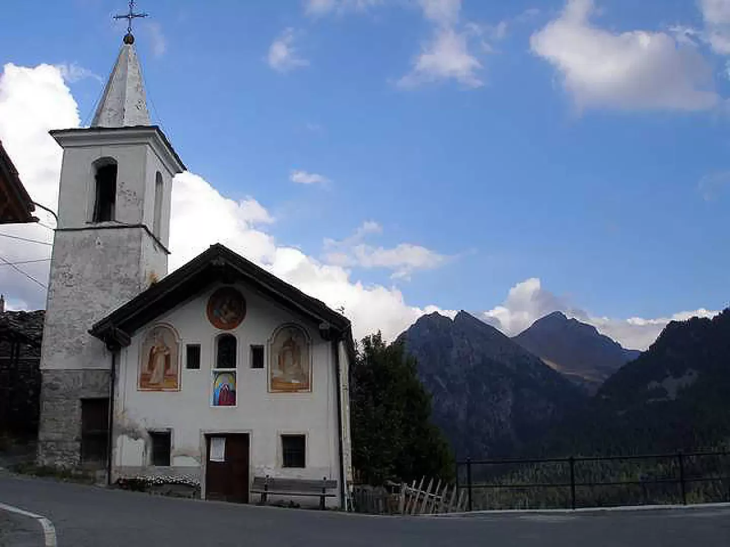
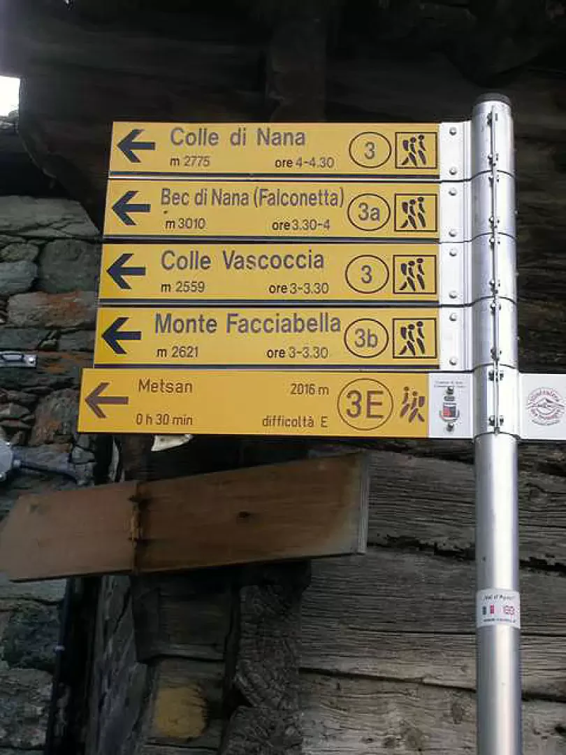
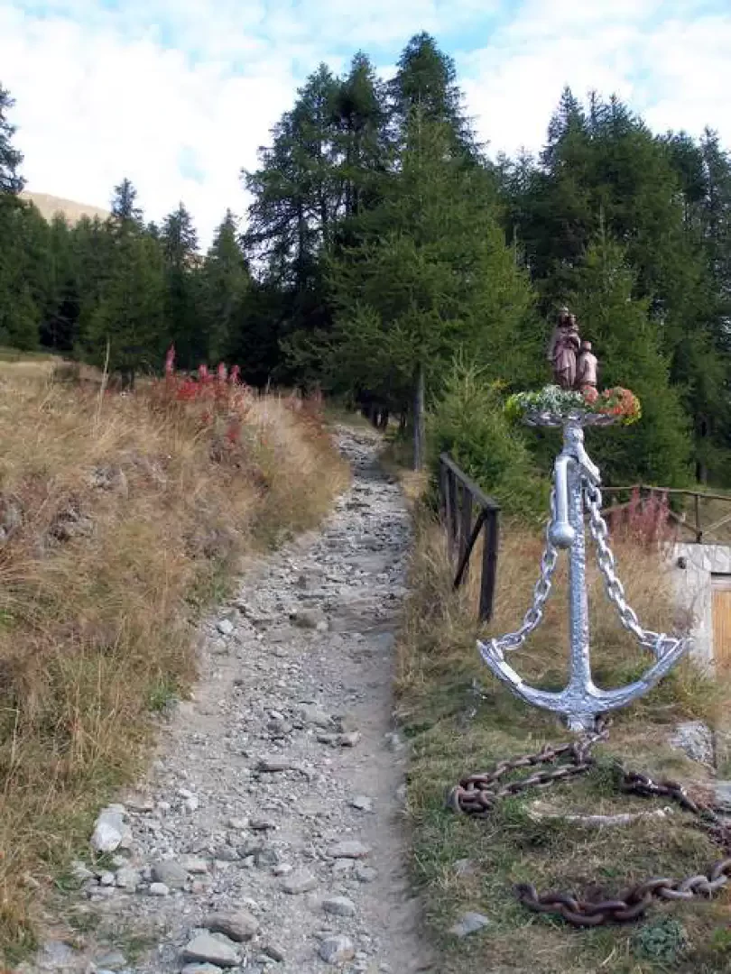
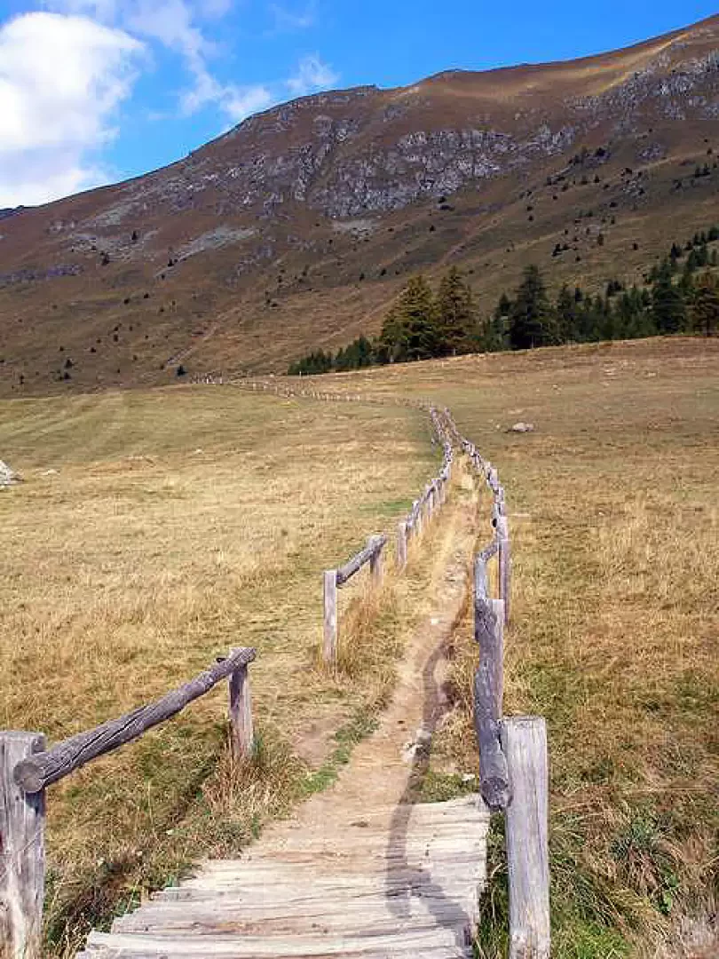
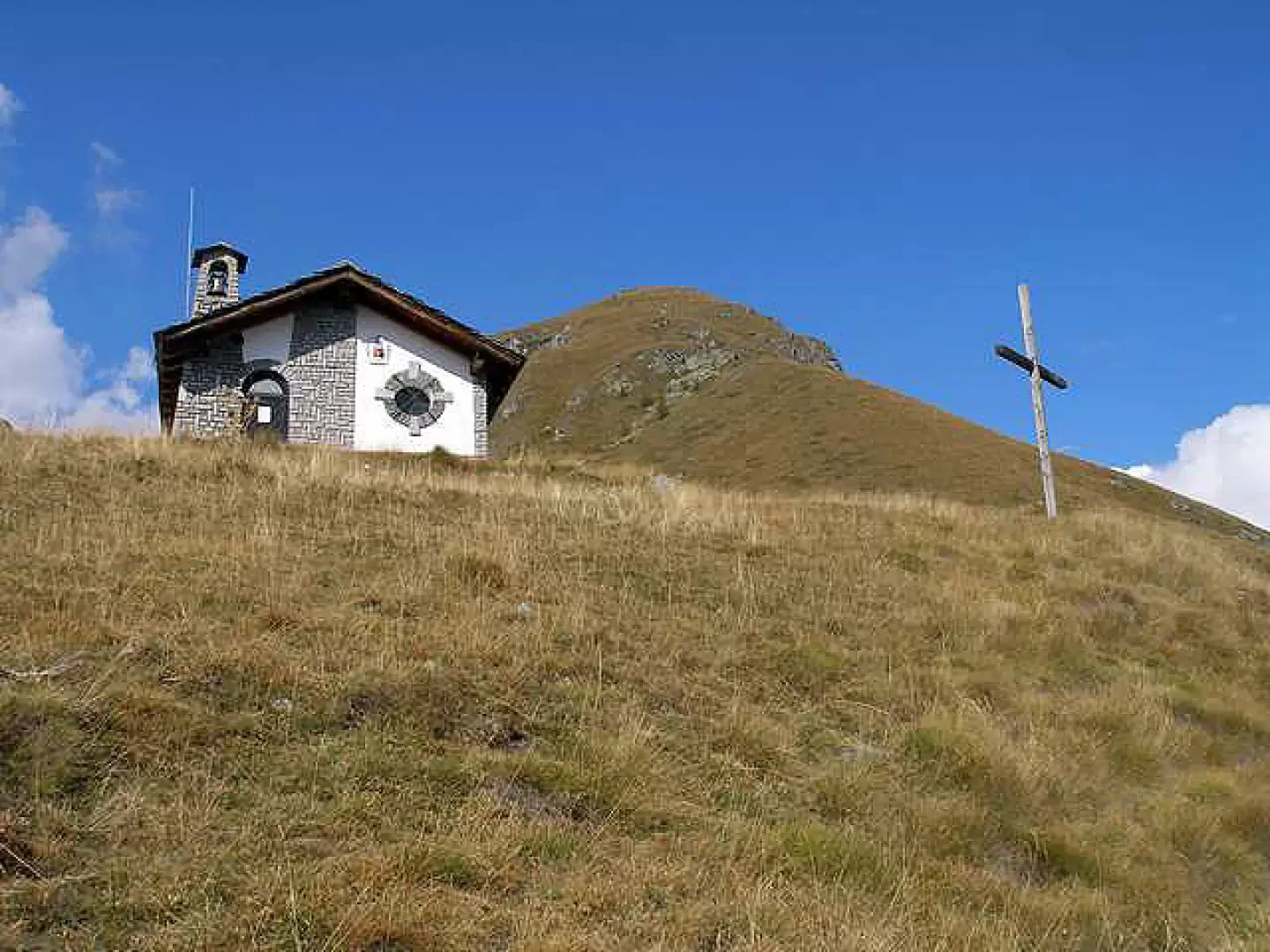
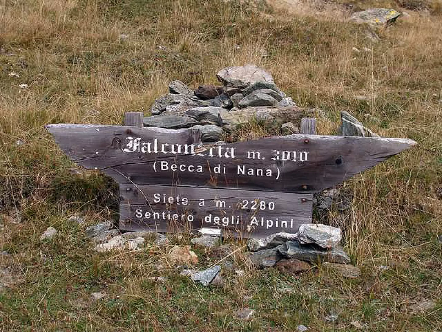
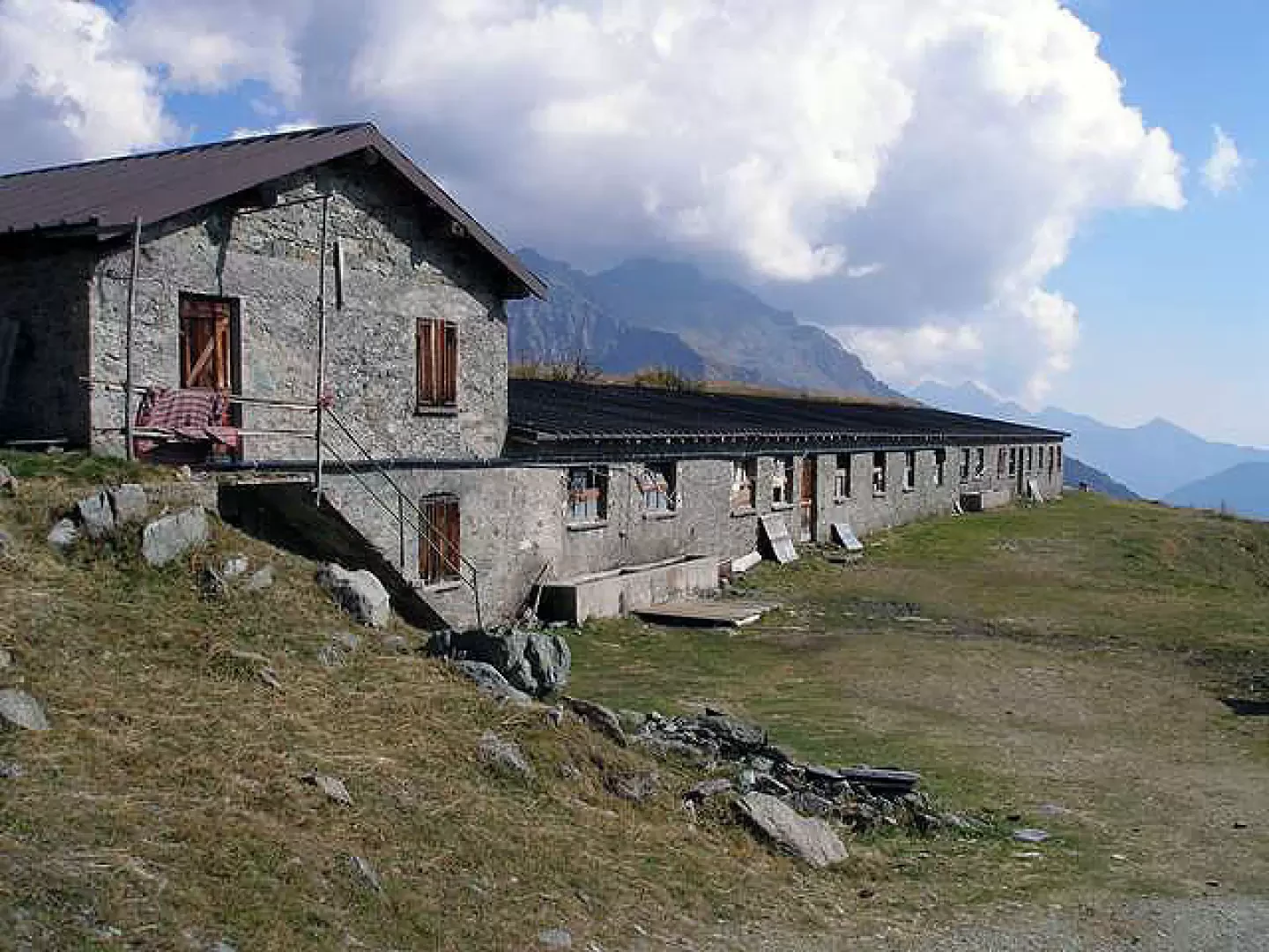
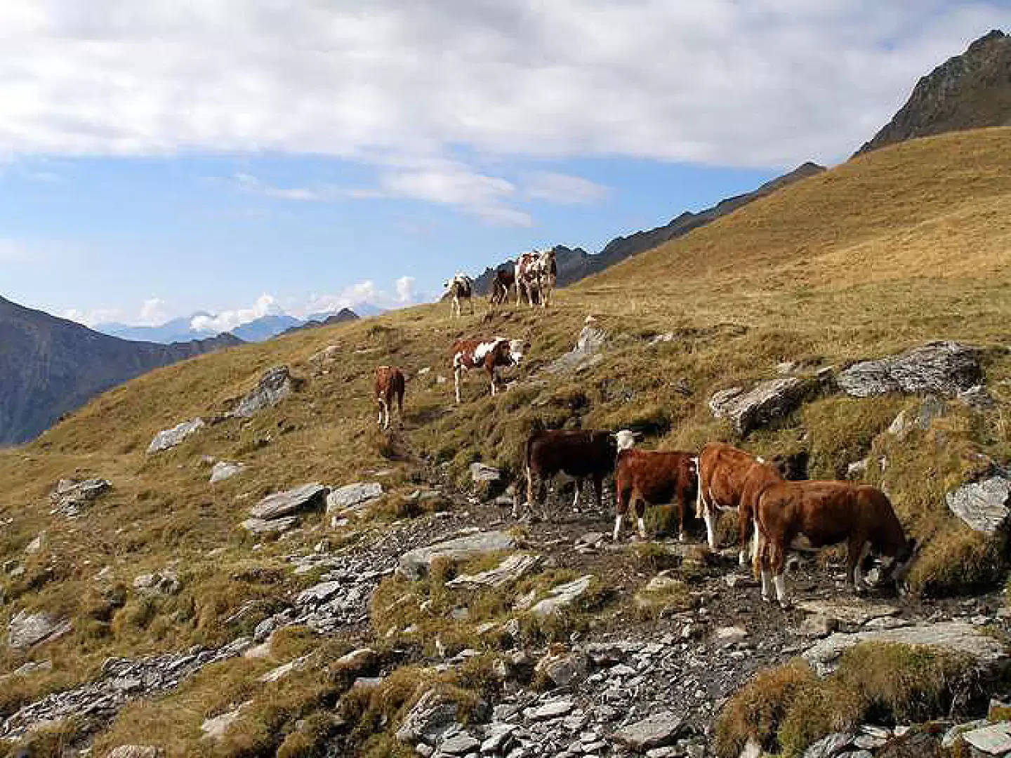
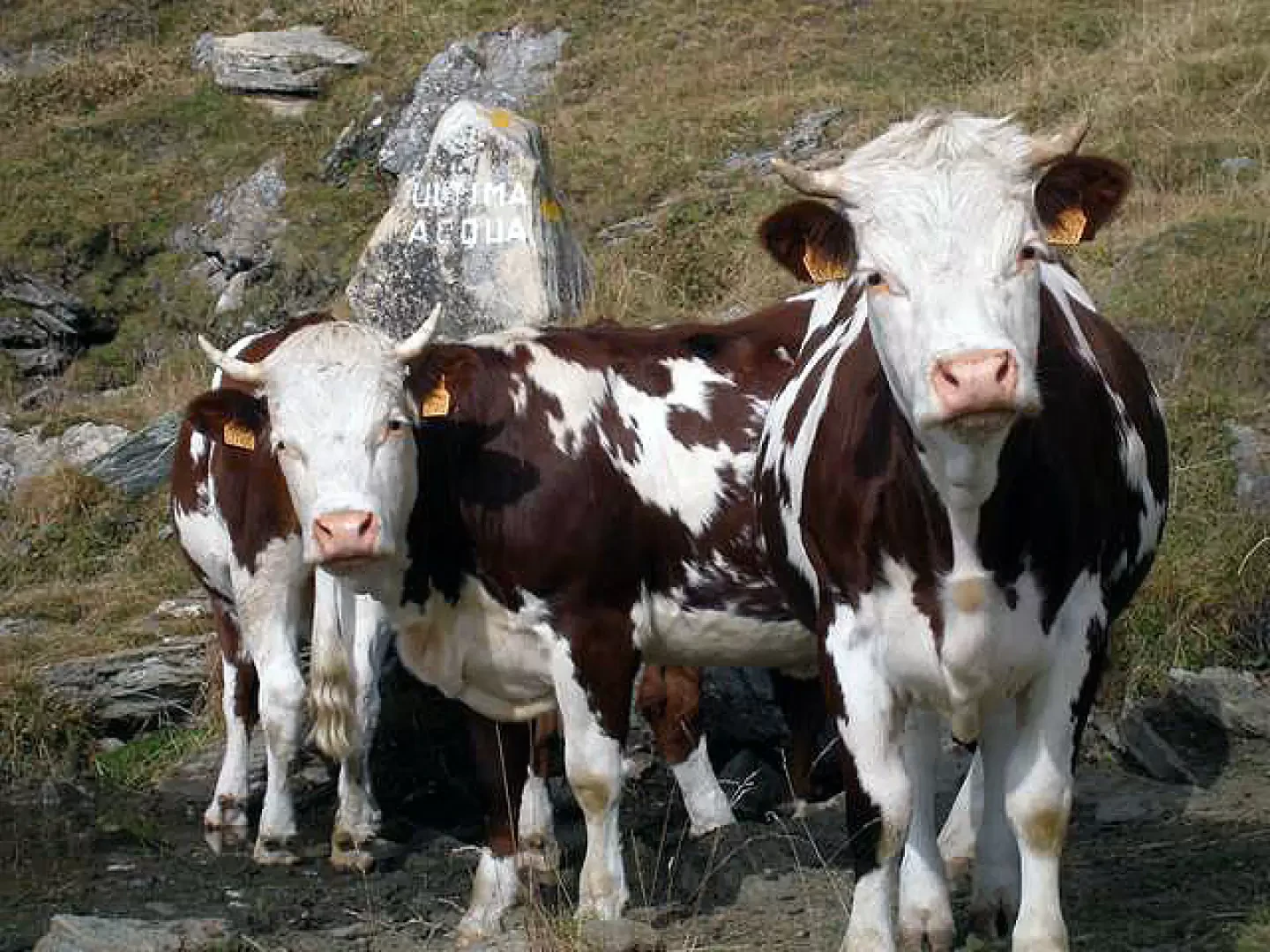
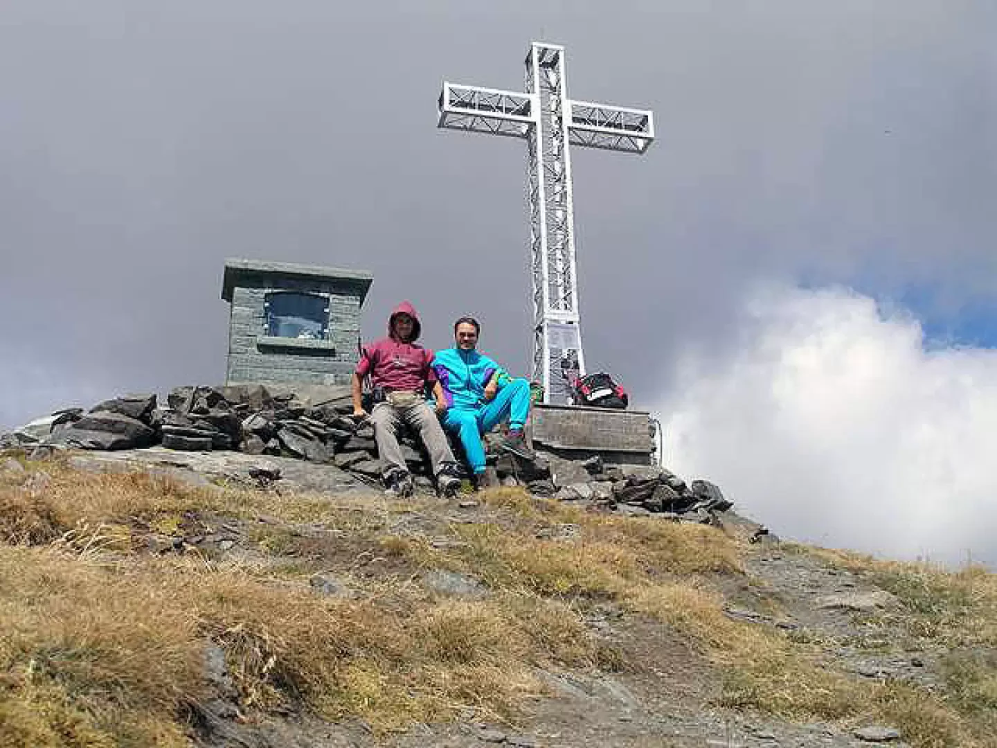
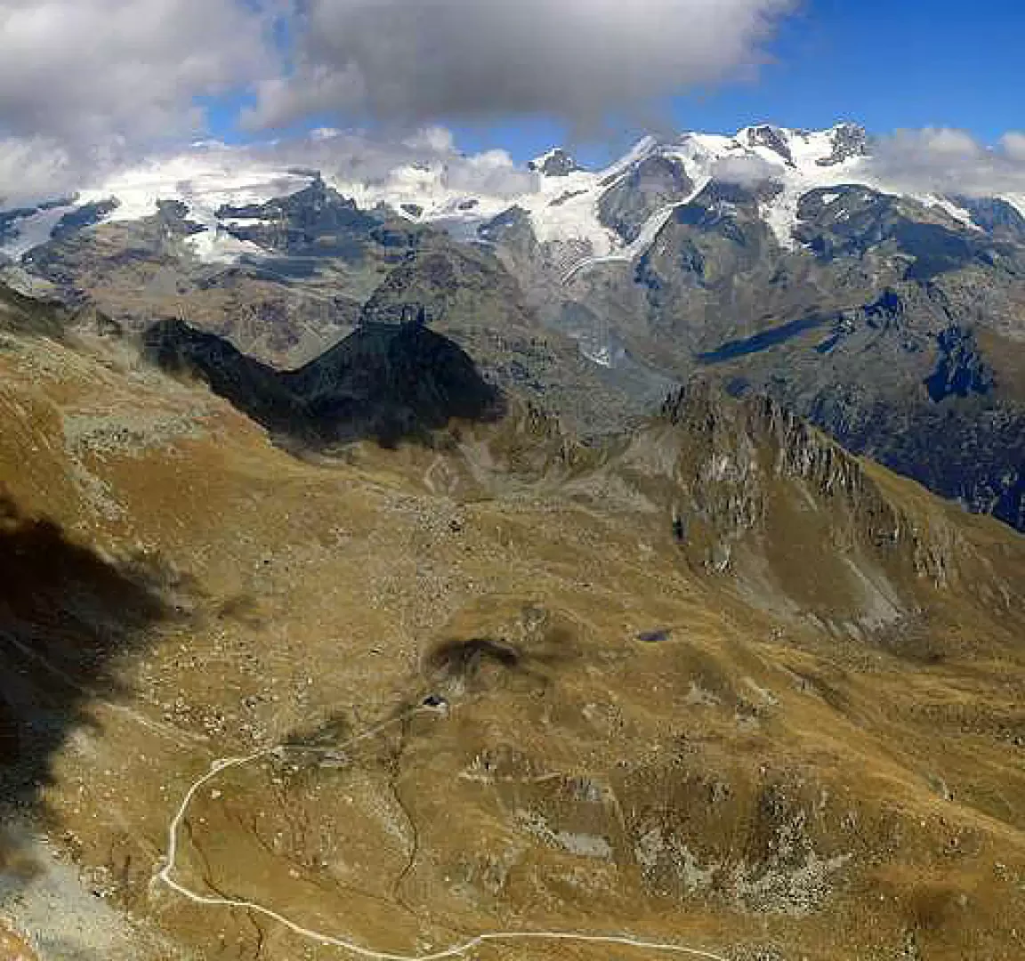
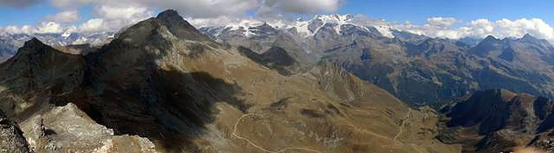
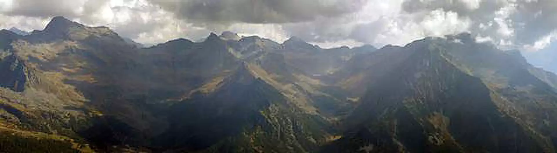
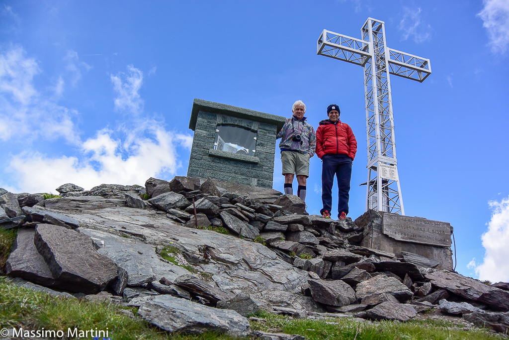
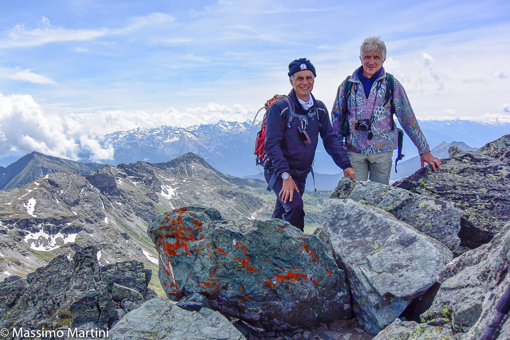
Parking the car on the lay-by in front of the church, take the path immediately to the left of the church, following the signs. The short stretch leads past the entrance to Ca' Zena (a piece of Liguria at 1800m) and take the path alongside the anchor. After crossing the little wood and a path between two fences, you reach Alpe Metsan. After passing its picnic area, head left towards the recently consecrated Sarteur chapel. Pass it on the left and you will come to the signpost for the Sentiero degli Alpini, which leads to Alpe Vascotchaz. Caution should be exercised here, as the path is not clear and the signposts may lead you to continue following path (3) leading to the Vascotchaz pass. Instead, take path (3) heading sharply to the left halfway up the slope through meadows increasingly teeming with cows, which leave large 'obstacles' on the ground to be carefully avoided. We arrive at the entrance to Plan Pera, where an ironic message invites us to take water at the last spring, which is also 'well defended'. From here, the peak is clearly visible and following the path, which is in any case well marked, we begin to climb more decisively and steadily until we reach below the actual peak, which goes around the scree and continues on the Valtournenche side. In my opinion, it would not be so exaggerated to have a head protection in this short section that passes just below the buttress of the peak, just in case. After making the final effort, we arrive at the narrow but long and level summit, where the classic cross leads us to an altar with an Alpine hat inside and a page from Domenica del Corriere describing the tragic death of 18 Alpini who fell with their Jeep from a cliff on the Gavia Pass in 1954. The panorama is certainly one of the most beautiful, to the north the small and Grande Tournalin, the nearby Becca Trécare united with the Colle di Nana, the Rosa chain and below us the Grand Tournalin Refuge with the road that climbs into the Nannaz valley from Saint-Jacques. To the east the Testa Grigia, Corno Bussola and company, to the south the Val d'Ayas with the Zerbion dominating and to the west the Valtournenche and on a clear day the Bianco.
The return is along the same path although there would be the possibility of descending via the Colle di Nannaz - Vallone di Nana or via the Colle Vascoccia, solutions that are certainly more difficult and lacking in signposts.
Galleria fotografica


We have been there

Edited by:
Massimo Martini
Bec de Nannaz
Report della gita
Informazioni generali
Condizioni via o sentiero:
Pericolo Oggettivo:
Tratti esposti:
Rischio valanghe:
Affollamento:
Condizioni meteo
Cielo:
Temperatura:
Condizioni neve:
Condizioni ghiacciaio:
Avvistamenti
Fauna:
Flora:
Galleria fotografica

Edited by:
Giancarlo Beretta
Becca di Nana (Falconetta)