Barma Sou Frit, from Albard de Donnas

Edited by:
Massimo Martini
Updated at: 01/05/2025
Introduction
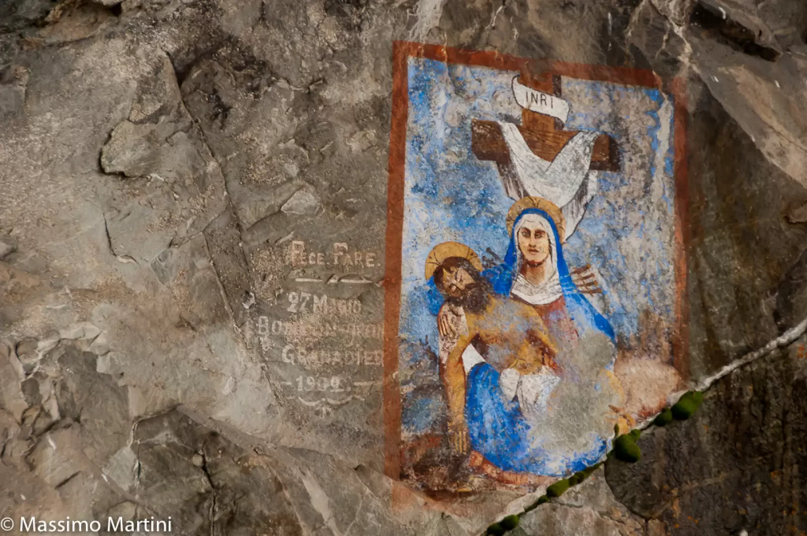
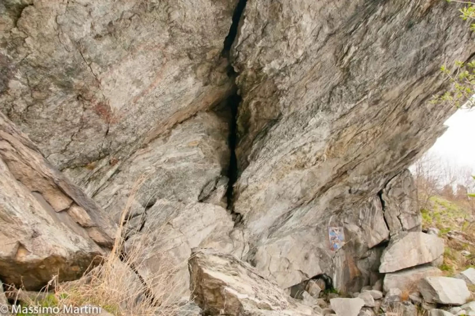
Barma Sou Frit is a natural shelter with some frescoes located at the foot of Croix Corma. Up until a few years ago, the place was not easily accessible, so it has built up an aura of mystery over time... thanks to a recent renovation of the path, it is now accessible from both Verale and the Jas. In this report, a circular route is proposed: please note that there are some slightly exposed sections of the path and there is a section equipped with a steel cable to overcome a rocky slab.
Description
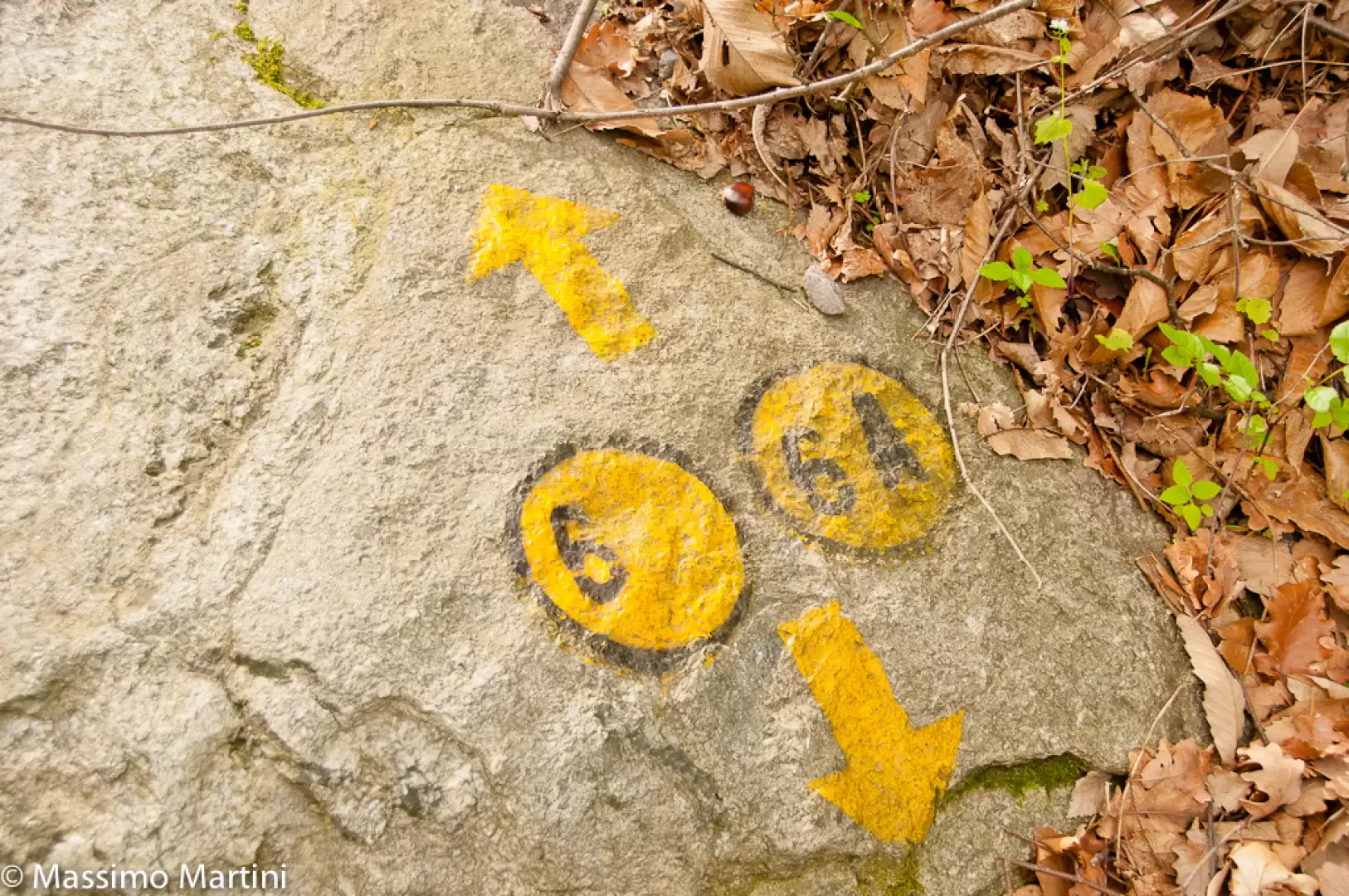
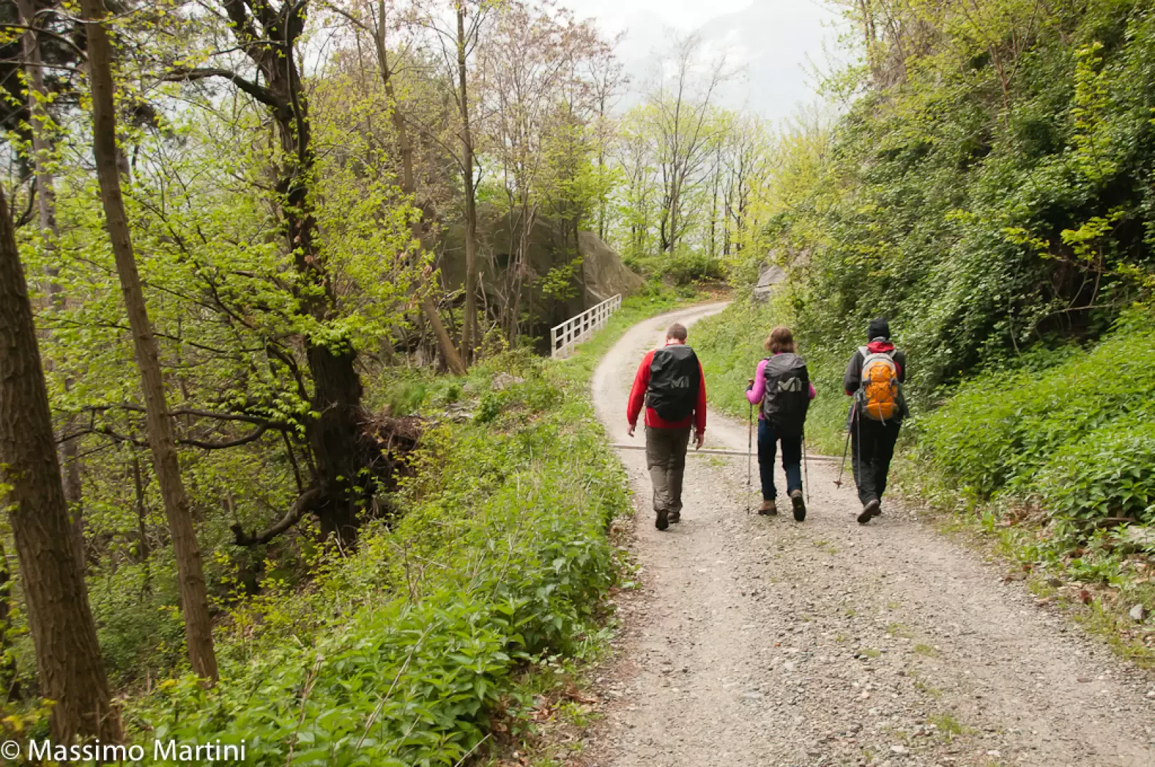
Leaving the car behind, proceed along the dirt road that enters the forest in a south-easterly direction. After a few minutes' walk, you reach a first hairpin bend to the left and retrace almost the same path until you reach the next hairpin bend to the right: just beyond this, you will come to a marker signposting the entrance to the mule track to Fenêtre de Cou (724m, 0h20') on the left.
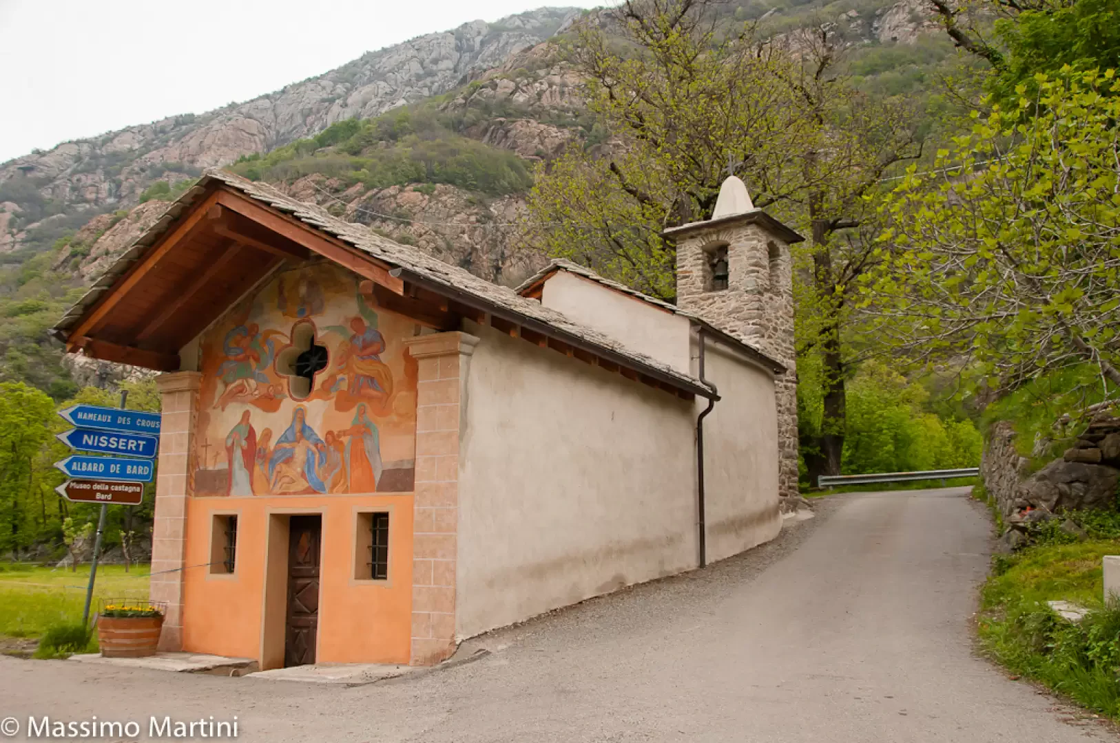
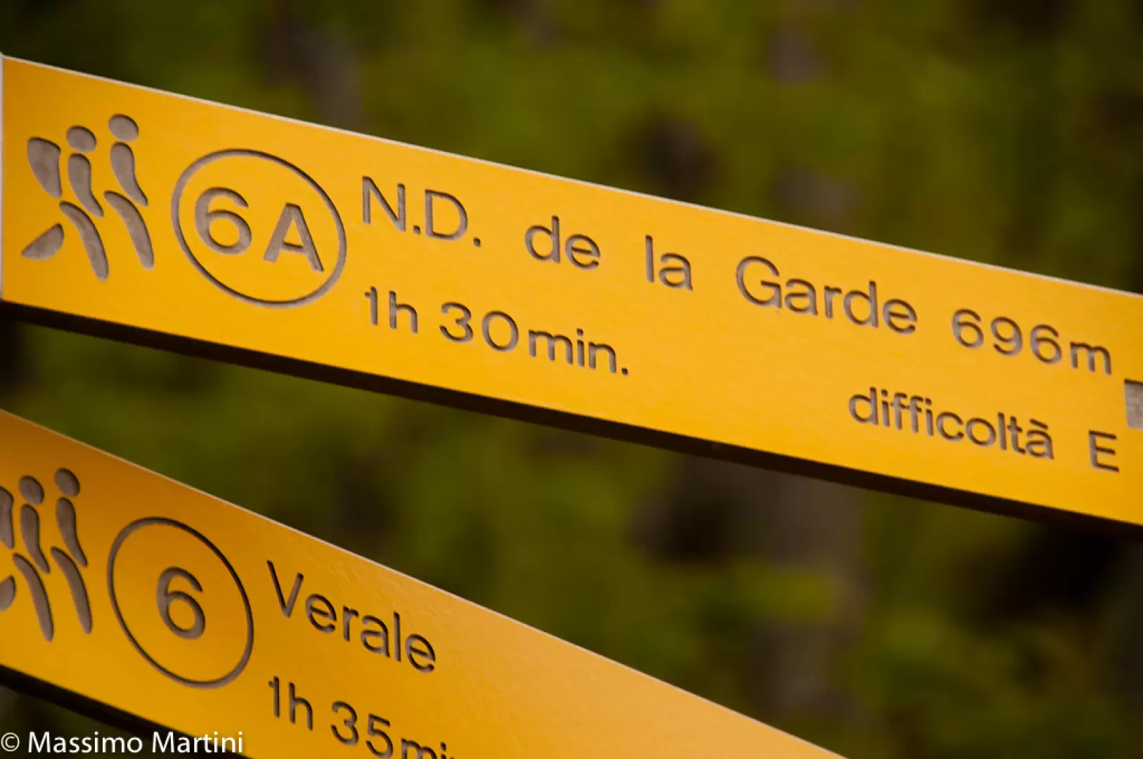
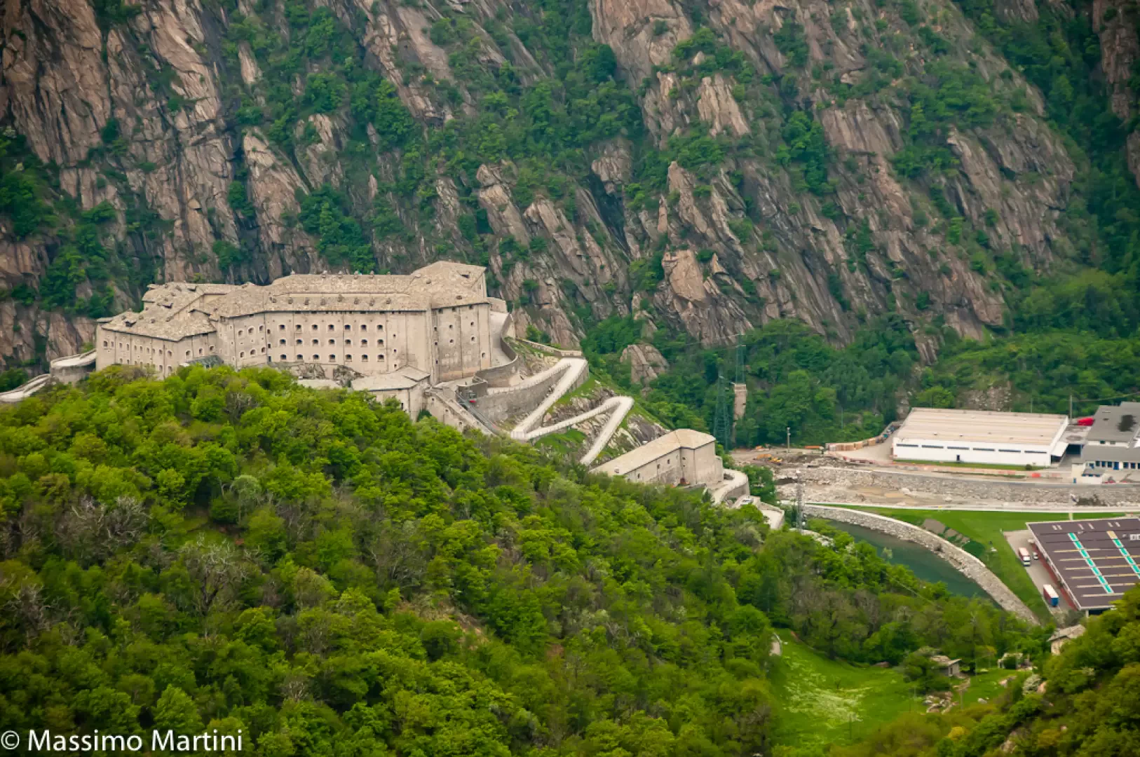
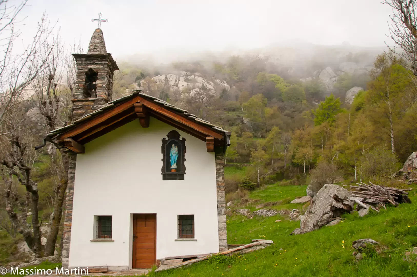
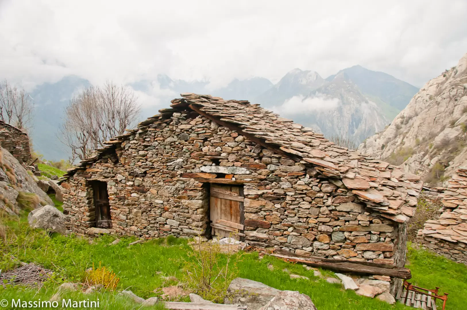
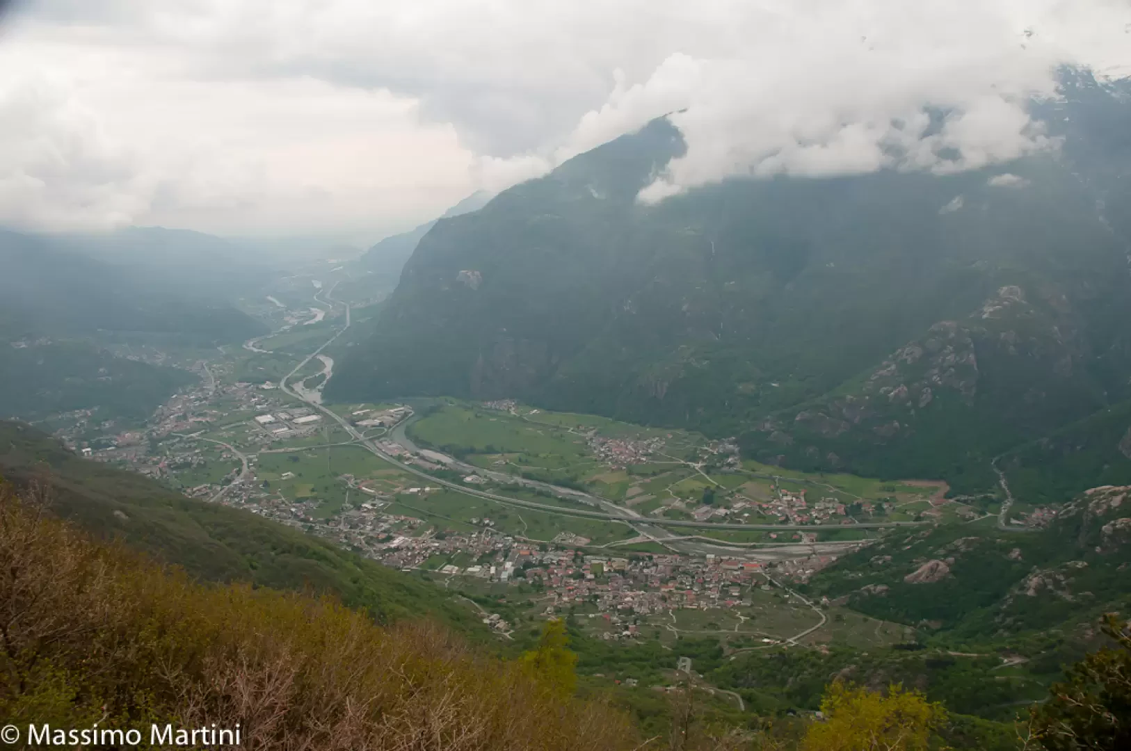
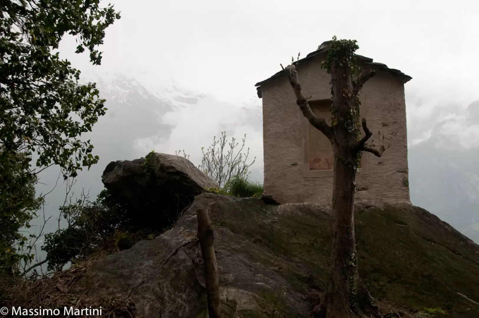
Go up the steep mule track, which soon flattens out slightly near a characteristic votive shrine. Continue through the beautiful chestnut forest until reaching the ruins of Fobe (817m, 0h35'). A couple of bends take you above the abandoned village and continue uphill through the forest, always on the obvious mule track. The route varies in gradient, with more sustained stretches and others less so. You reach a series of hairpin bends supported by stone walls and wooden railings and continue until you reach the path leading up from Bard (969m, 0h50'). Turn right, proceeding along the edge of an overhanging rock that limits the path to a hairpin bend to the left, which soon leads to a panoramic section with a remarkable view of the Fortress of Bard below. After another hairpin bend to the right, the path re-enters the wood, left briefly on the panoramic stretch, until a new turn to the left that precedes a flat and panoramic stretch. The destination is not far away, and you start climbing again, making a wide bend to the right and entering the hollow before Verale. The wide rocky panettone of the Tête de Cou appears before your eyes. With an even slope, one leaves the last wooded thickets and enters the pastures that precede the village. The mule track now becomes paved and makes a photogenic bend to the right until reaching the small chapel of Verale (1230m, 1h40'). A little further on, the turnoff for the Fenêtre de Cou (1235m) branches off to the left. Neglect the turnoff and proceed towards the cottages following the direction of Barma Sou Frit. In a few minutes, you will then reach Verale (1243m, 1h45'), a pleasant village with a small bread oven.
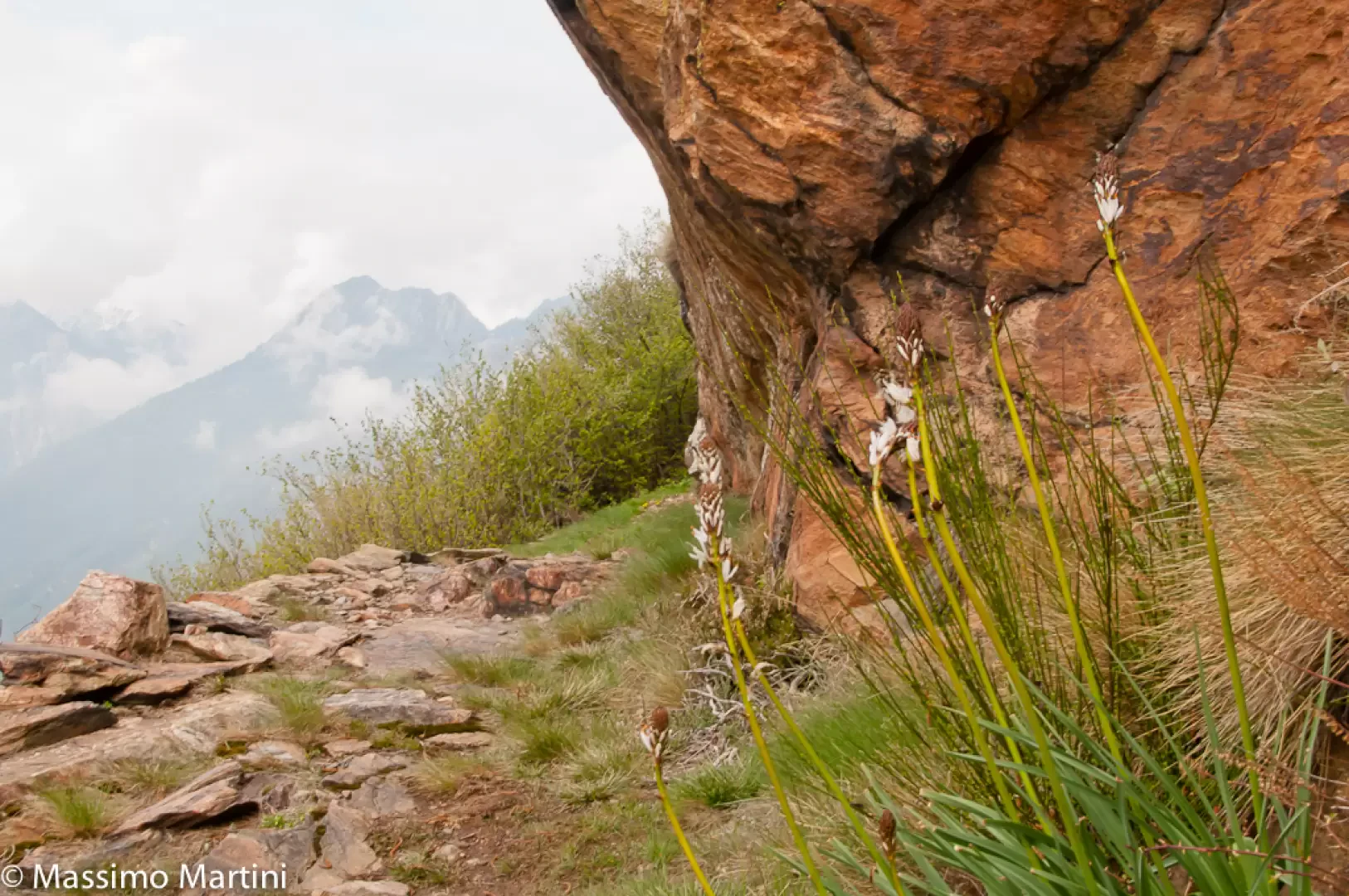
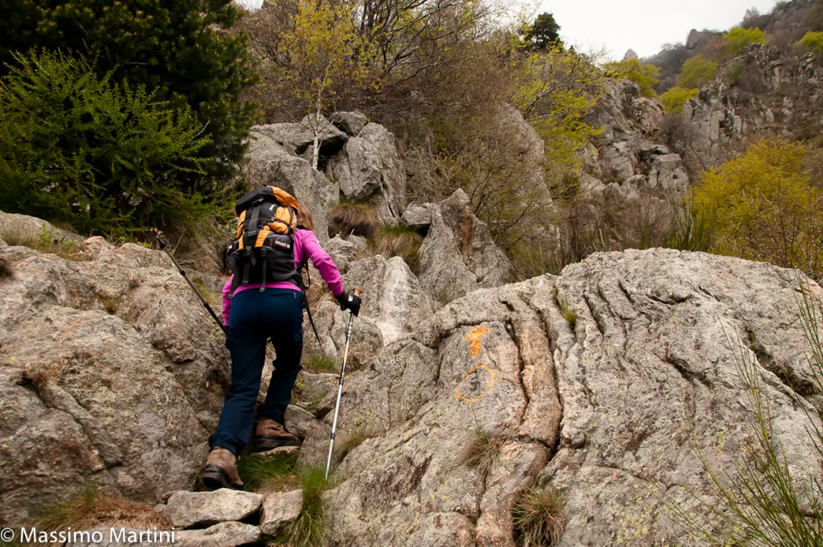
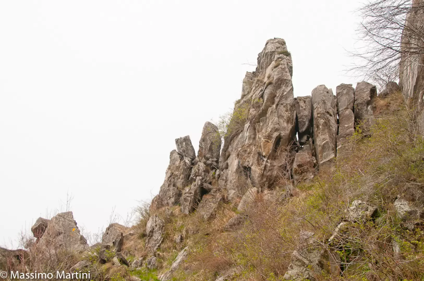
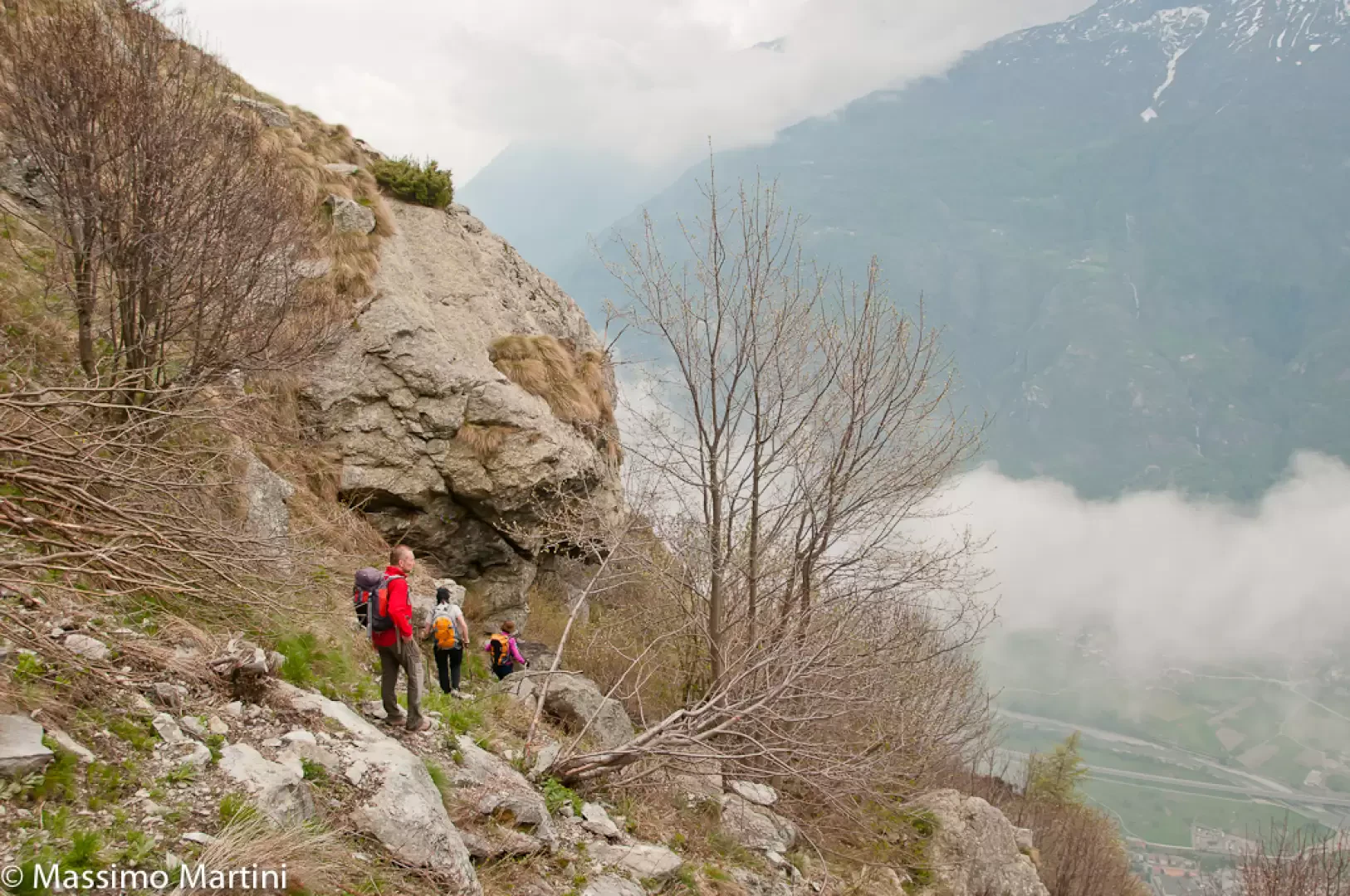
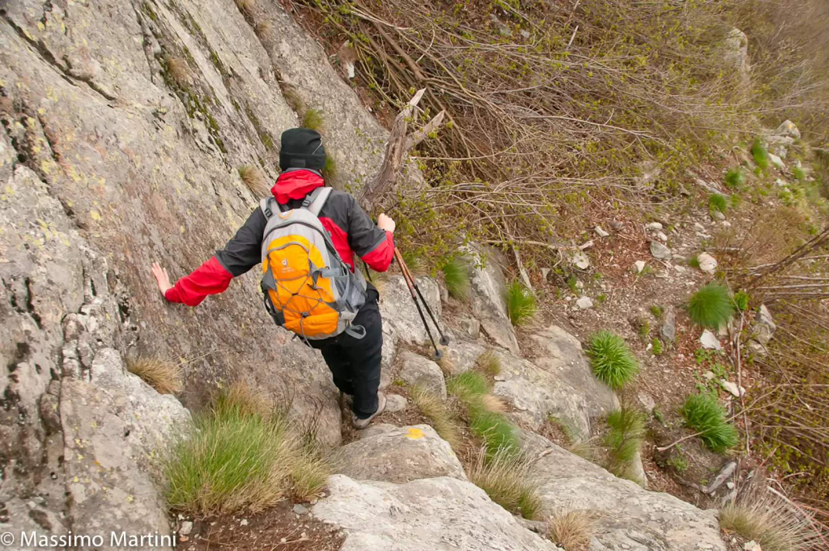
Continue in a south-easterly direction out of the village. After a short uphill stretch on the mule track bordered by dry stone walls, the trail comes to the top to continue halfway up the hillside with pleasant views of the Donnas plain. The route undergoes a few short ups and downs on the wide and slightly exposed path in the presence of high rock walls. After a short turn to the left, descend an impluvium and then climb up a small valley with a steep climb. After the ascent, continue along an undulating stretch close to the rocks and then leave them, entering a grassy slope with low vegetation. Descend for a short stretch and then continue up and down, crossing some scree and a few small rocky slabs before starting the descent proper, which quickly leads to Barma Sou Frit (1448m, 3h00').
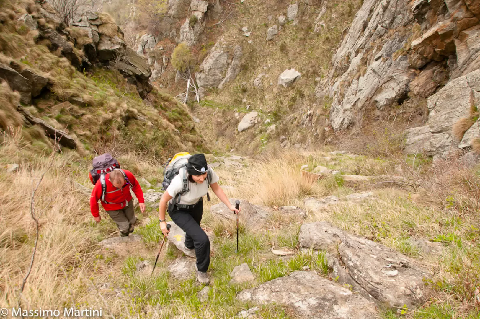
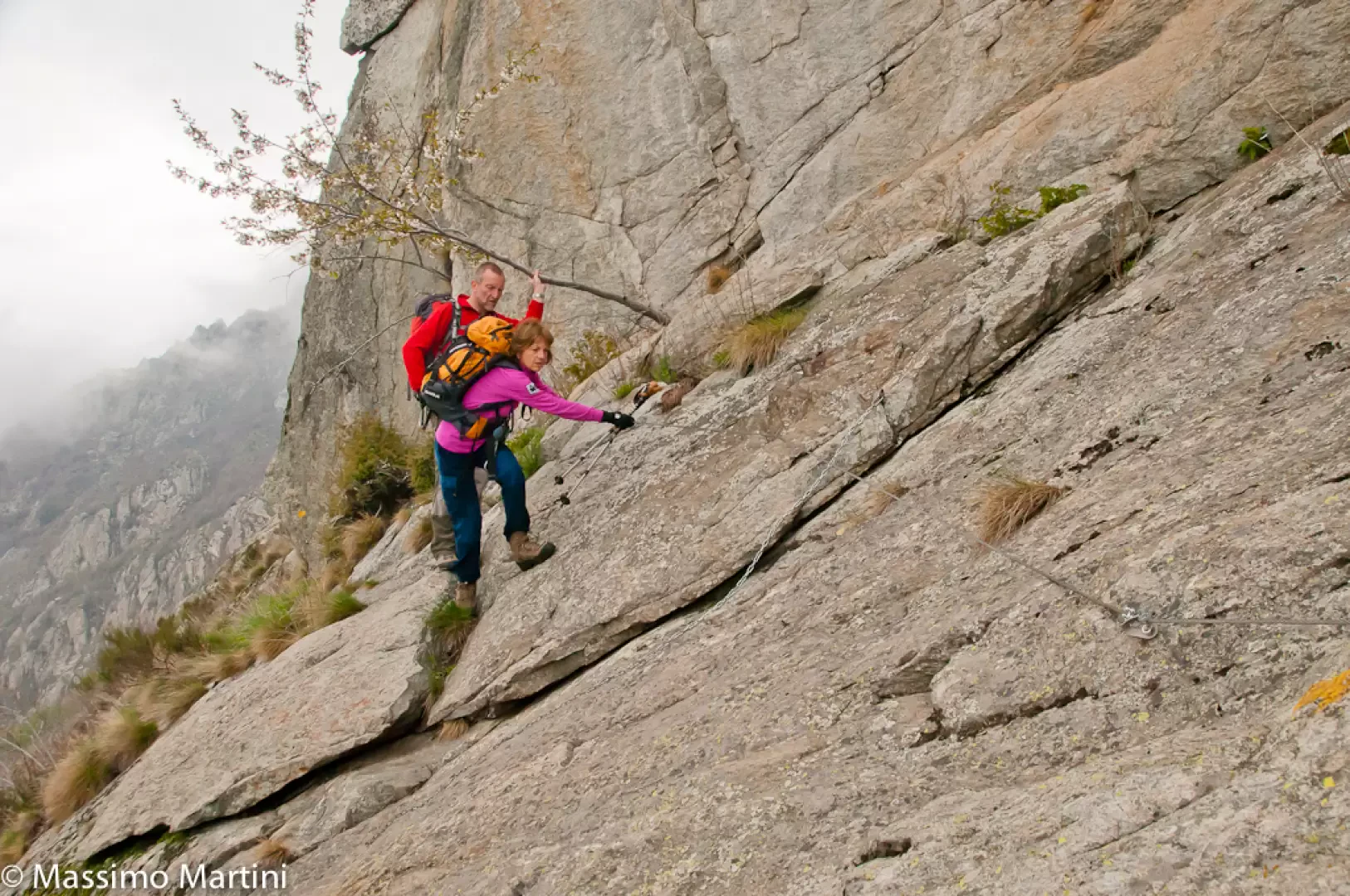
Continue the descent on a stretch of path that is not too comfortable but quickly loses altitude before reaching the most difficult part of the itinerary: a rocky slab to be overcome with a short equipped section.
Once the difficulty has been overcome, continue the descent through the forest until reaching the group of cottages at Jas damon (1343m, 3h30').
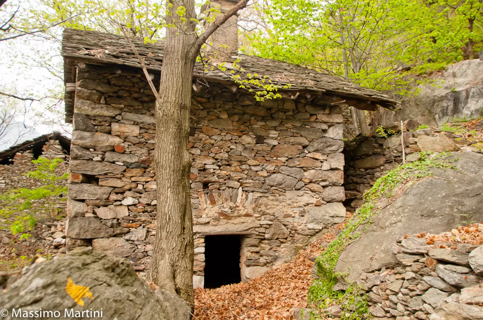
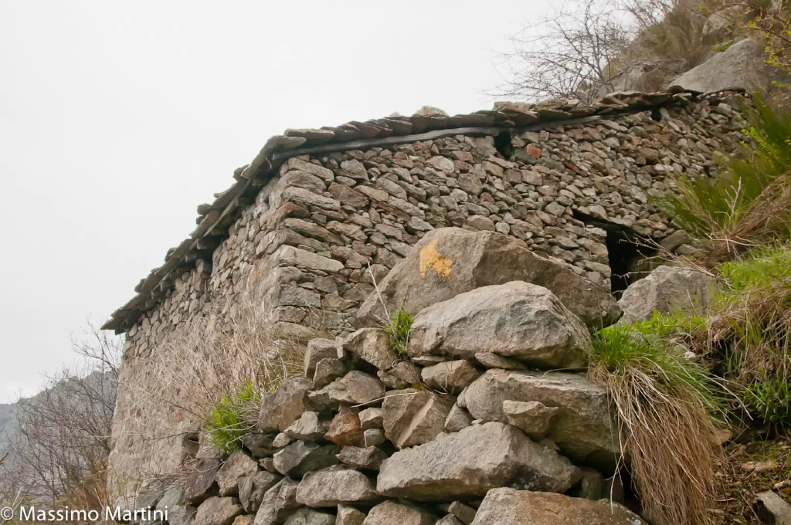
Retrace your steps to the crossroads, a few dozen metres before the village, and now continue downhill through the beautiful chestnut forest. The descent is on the mule track, which is often laden with foliage but is always evident. In a short time, we reach the village of Pera Gemaz (985m, 4h00'), an authentic "ghost town" where we can appreciate the buildings and the pretty votive shrine. Continue the descent along the mule track until it joins the farm track (794m, 4h20'): turn right and follow the track until you reach the crossroads for Verale and, a little further on, the starting point of the itinerary.
Galleria fotografica