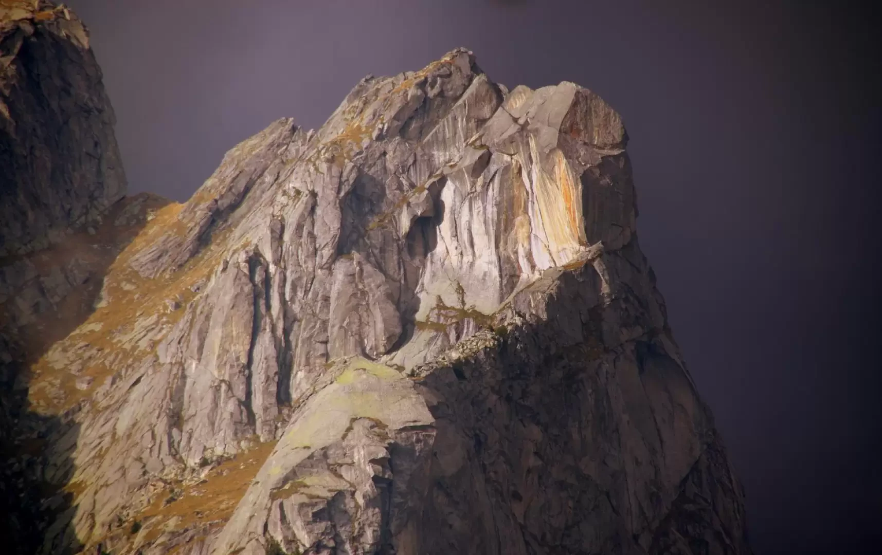
Arcanzòlo, from San Martino Valmasino

Edited by:
Marco Bonati
Updated at: 30/11/2024
Introduction
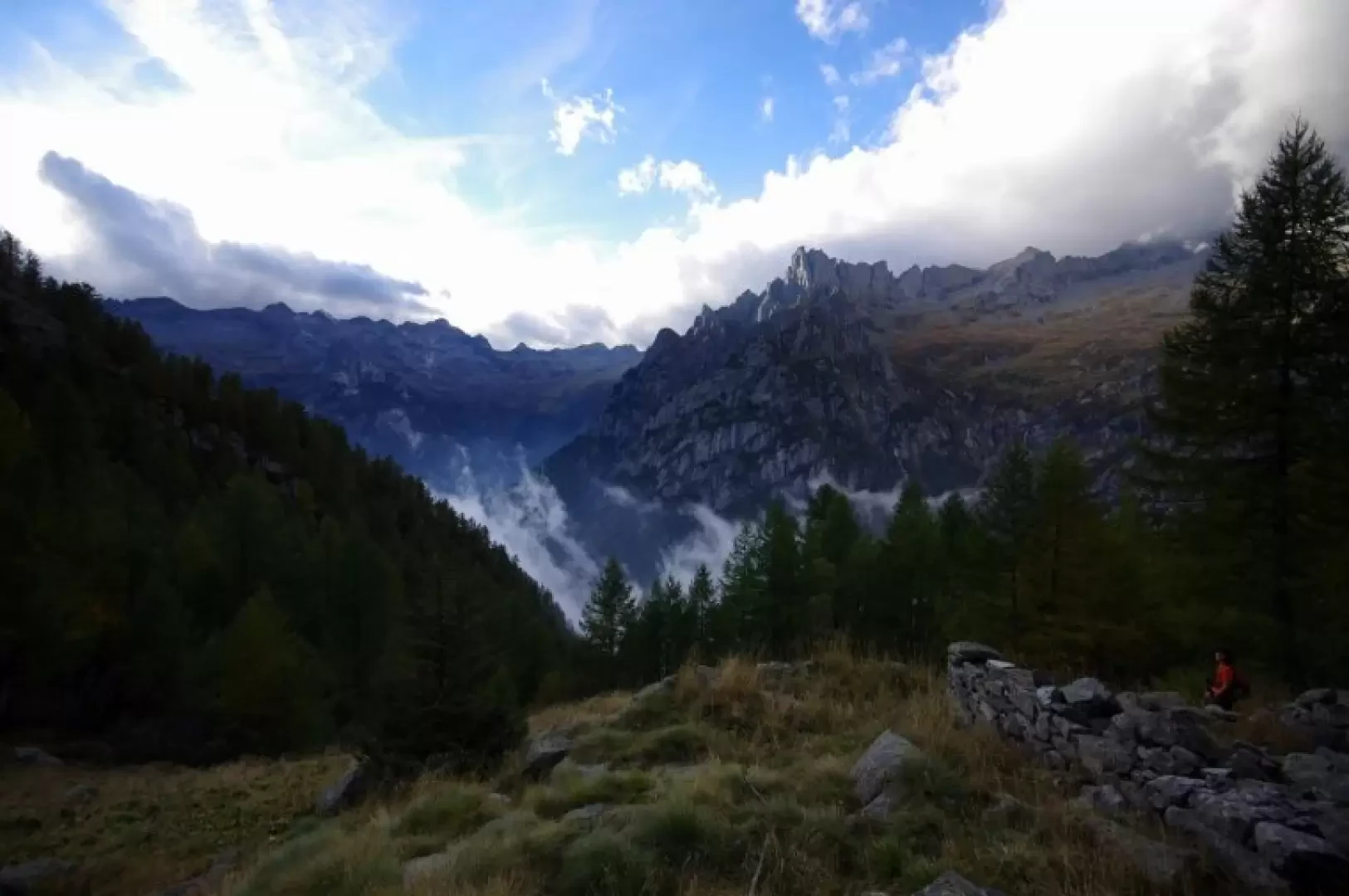
A completely unknown excursion to an alpine pastureland that has been abandoned for decades and whose only hut is now reduced to ruins. The real interest of the excursion is the spectacular route, much of it artificially constructed in ledges, steps and sections carved into the rock. The aerial view over the Val di Mello below and towards the structures surrounding the "Precipice of the Asteroids" is also magnificent.
NOTE: It is very difficult to trace the start of the trail. For this excursion, three cairns were placed and a special incision made in the trunk of a tree.
Description
From San Martino Valmasino (912m) you climb up and follow the Val di Mello forest track; at a widening you cross the stream over the ENEL bridge-canal and find yourself, on the other bank, crossing a little path. Turn left and - with ups and downs - go up the valley: after passing a water intake (near a second bridge) and crossing a small pebbly shore of an often dry stream, you must be very careful. The signs in paint suddenly turn right, abandoning the old track that continued along the main stream and tends to disappear into the grass: at the right-hand edge of the small meadow where you are standing, you should notice the first cairn and the incision in the bark of an ash tree (A for Arcanzòlo and directional arrow). From this meadow, a second meadow is reached uphill (two cairns) and from its upper right-hand corner a good path leads into the broadleaf forest. The path is very steep and climbs in serpentines until it leads into an area of sheer walls and rocky slabs ('piode'). From here, one begins to follow the ancient mule track for loading cattle: regular steps creep into a gully or run along its bank; where necessary, the track is supported by high dry-stone walls, or it is dug into a ledge in the inside of the wall, or else it rests the paving on the 'piode', anchoring it with large iron pegs. After about 600 metres of difference in altitude, the ascent decreases and - with a confusing stretch through the grass - the path reaches a clearing with a hut 1613m; follow the red arrow on the wall facing to the right (ignore, on the other wall, the arrow facing uphill) and re-enter the forest. A not very steep ascent among the larch trees soon leads to a splendid grassy pulpit overlooking Val di Mello; the continuation is to the right, zigzagging through dense woodland to then come out in the old clearing - now besieged by bushes and young trees - of Alpe Arcanzòlo 1770m. All that remains of the only hut are the perimeter stones and the privileged observation position on the Cima di Cavalcorto spire in front.
Return along the outward route.
Galleria fotografica