Alpe Gerlo, from Campo Tartano

Edited by:
Marco Bonati
Updated at: 04/12/2025
Access
From Milan to Morbegno along state roads 36 and 38; continue on the state road as far as the viaduct over the Tartano: at the next junction, turn right towards Tartano: go up the mountainside with long hairpin bends (12) and reach Campo; continue and, after the viaduct over the Val Vicima, find parking in a small picnic area on the right or in one of the numerous open spaces nearby.
Introduction
A pleasant hike that leads to visit some vast alpine pastures on the sunny side of the Val Tartano. We walk along connecting paths at high altitudes, which in places retain the characteristics of the old active frequentation: paving stones, steps, protective handrails in the valley. Nowadays, only Alpe Torrenzuolo, where dairy products are sold, remains loaded in the summer. Some sections of the path have now disappeared into the grass, with the need to proceed 'by instinct'.
Description
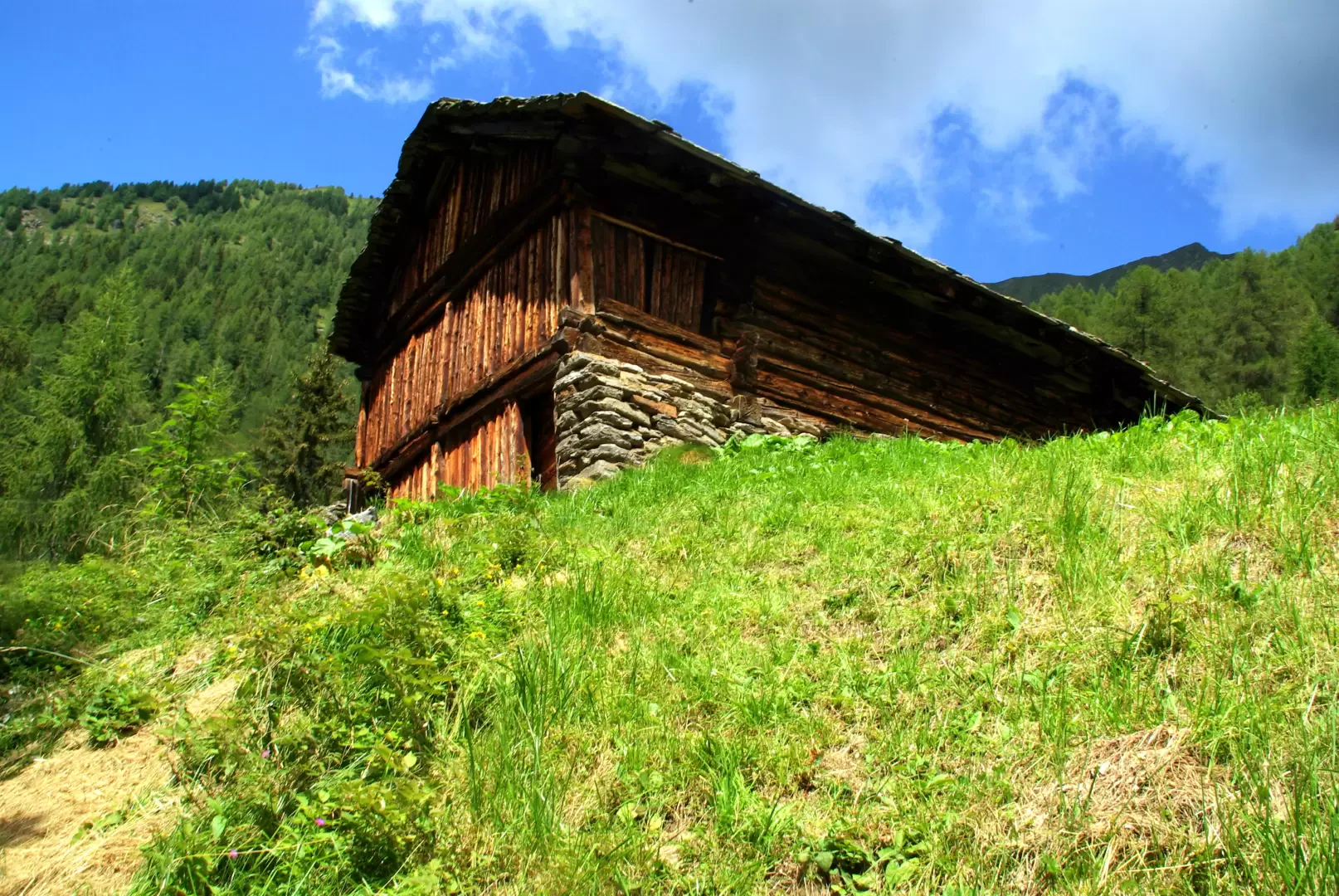
From the car park on the provincial road about 1200 m, immediately climb (signposted) a steep mule-track in the mixed beech and fir forest; a series of hairpin bends allows you to reach Dossàla 1333 m, a clearing reclaimed from the forest with what remains of a few huts (note the typical interlocking log barns - "carden" - unique in the Orobie Valtellinesi area and distinctly Walser in character). Continue up the summit of a broad beech-covered ridge to the edge of a vast meadow ridge. Follow it to the left along a drystone wall until it joins a more evident path coming from the neighbouring Val Vicima. Follow it to the right and enter the vast meadows of Barghet 1627 m. The track disappears into the high grass: it is necessary to climb from hut to hut all the way up the alp until the last ruin at the edge of the wood. From the right (Alpe Vicima) comes a good path to follow to the right: a long, slightly uphill traverse among the larches (numerous voluminous ant-hills) leads to a clearing with an abandoned hut ("Cur d'Aser" 1846 m). Continue on the level track, ignoring some recent signs going up the slope: you enter a damp little valley that precedes the pastures of Alpe Torrenzuolo 1794 m. Near the highest hut, a good track reappears that heads towards a recently restored hut: without reaching it, you spot a small track that goes into Val Lunga on the level. Proceed up and down the hillside for a long time to the vast pastures of Alpe Gerlo 1887 m, a characteristic nucleus of six huts arranged in two parallel rows. Here the path disappears into the grass. A gap in a dry stone wall must be spotted, down a little to the left: here a track reappears, leading to a new extension of meadows, which must be steeply descended to a splendid old hut ("Baita Caurìil") 1735 m. At the edge of the nearby forest, the trail rejoins the path: long hairpin bends lead to the bottom of a damp little valley ("Val de la Fracia"). After the ford, the track fades into the really intrusive grasses, but by now you are in sight of the bottom of the Val Lunga valley, with its carriage road joining the various hamlets. When you reach the tarmac road, without any alternative, you reach Tartano 1210 m and from here, along the provincial road - in a few hundred metres - the car park at the start.
General Information
Path:
Signposts:-
Type of route:circular
Objective hazard: danger
Exposure to sunlight: north-west