Aiguille d'Artanavaz, from Planaval via Rantin
Access
Lasciare l'autostrada al casello e, dopo 500 metri, uscire dallo svincolo immettendosi a destra sulla strada regionale per la valle di Cogne. Dopo 450 metri, alla rotonda, prendere la seconda uscita entrando sulla strada statale , da seguire per 18,4 chilometri, attraversando i paesi di Saint-Pierre, Villeneuve, Arvier, Avise e Derby, fino a raggiungere una rotonda. Prendere la prima uscita ed imboccare Via Corrado Gex, seguendo le indicazioni per il centro di La Salle. Dopo 350 metri, svoltare a sinistra su Via dei Romani e, poco dopo, alla biforcazione, girare a destra su Via Col Serena, seguendo le indicazioni per Chaffieron. Proseguire lungo la strada comunale, superando i villaggi di Chaffieron, Chateau, Vilarisson, Remondey, Cheverel e Morge, fino a raggiungere, dopo circa 9,3 chilometri, il villaggio di Planaval. Arrivati davanti alla Baita Jolie Bergère, scendere per una stradina asfaltata fino al ponticello sul Torrent Grand Eau, superare il ponte e svoltare a destra per risalire un breve tratto di strada sterrata. Poco dopo, si troverà un piccolo spiazzo erboso adibito a parcheggio 🅿️ nei pressi del torrente.
[0h38'] - [30,6km]
Come arrivarci con GMaps
Come arrivarci con Apple Maps
Le indicazioni fornite sono state verificate con attenzione alla data di rilevamento dell'itinerario. Tuttavia, si consiglia vivamente di controllare eventuali variazioni intervenute successivamente, soprattutto riguardo al percorso di accesso al punto di partenza. Prima di intraprendere il viaggio, è opportuno consultare strumenti di navigazione aggiornati per ottenere indicazioni stradali precise e attuali. Raccomandiamo l'utilizzo di app per la navigazione satellitare, come Google Maps o Apple Maps, per garantire la massima accuratezza e sicurezza del tragitto.
Introduction
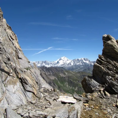
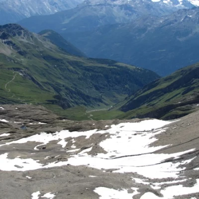
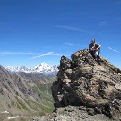
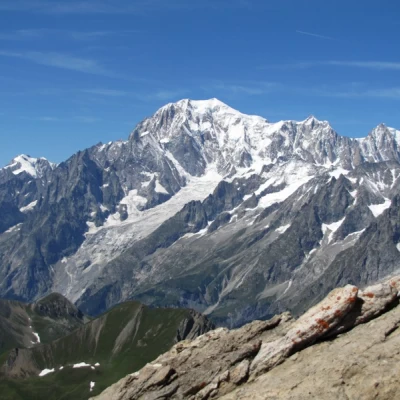
Final destination with an extraordinary view: almost within reach are Mont Blanc and the Grandes Jorasses, while the horizon stretches from Combin to the Matterhorn, via Monte Rosa and the Gran Paradiso massif, with the Ciarforon and the mountains of the valleys to the south.
Description
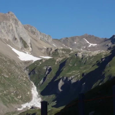
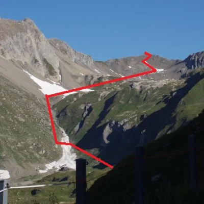
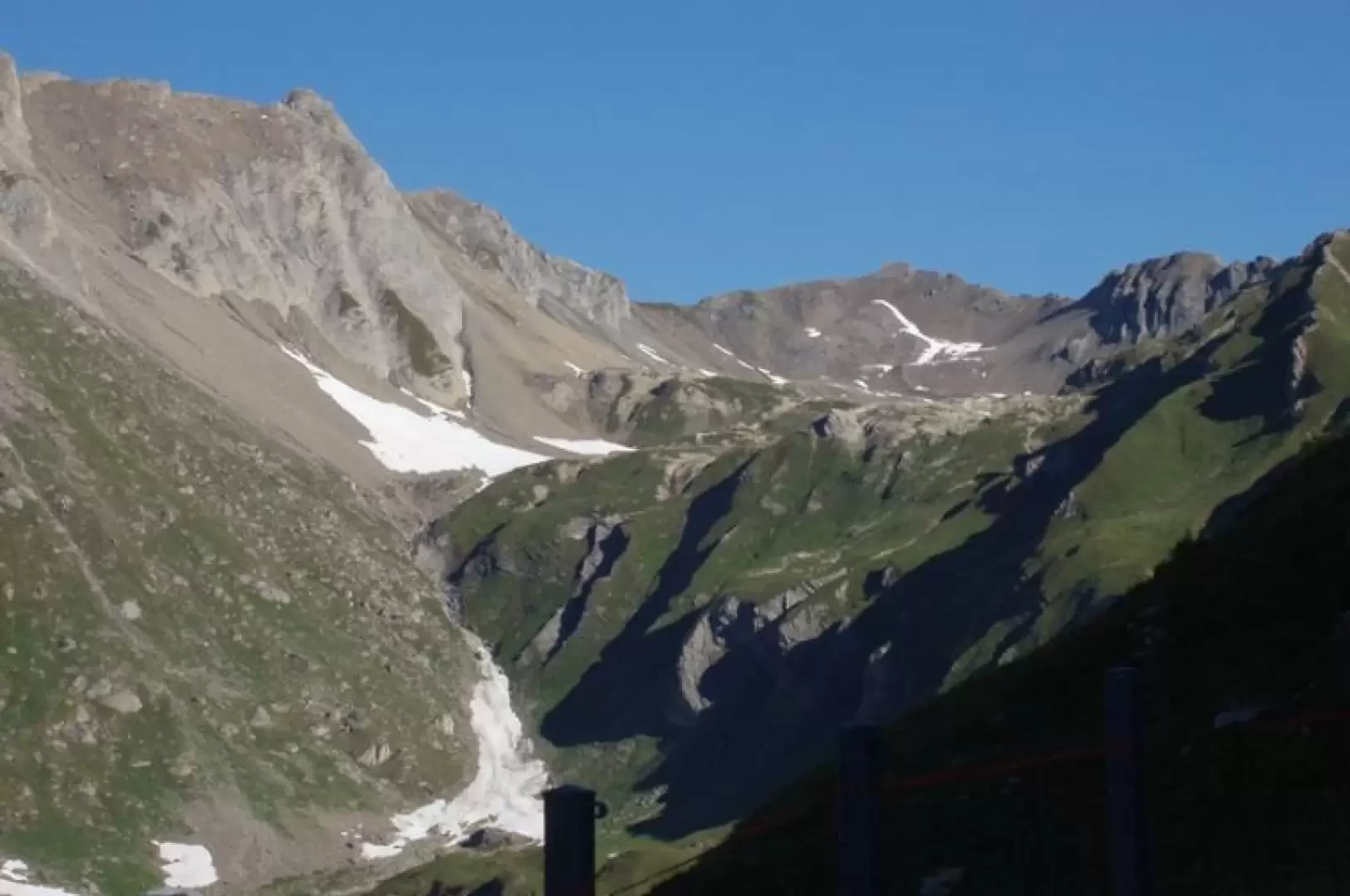
From Planaval you can reach Capanna Bonalè (an alpine hut) either by taking the road (longer, but more comfortable) that passes through Rantin or by taking the path at the bottom of the valley that leads over a steep valley.
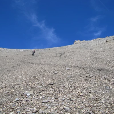
From the alpine hut, follow the tracks and cairns that lead to a grassy slope on the right and a scree slope on the left.
Leave the grassy slope and as soon as possible pass over the scree slope where you will find the cairns leading to the upper comba.
Continue northwards over grassy bumps from the last of which you can see the remaining path.
Further down on the right is the Bonalè lake.
Continue towards the summit, following the cairns that lead to a ridge on which the tracks are more evident, until the very clear track (which can be seen from afar) that shortly leads to the airy summit.
Just a stone's throw from Mont Blanc and the Grandes Jorasses, the view sweeps from Combin, to Velan, to the Matterhorn, to Rosa.
To the south, the north of Gran Paradiso, the Ciarforon and the mountains of the southern valleys.
Attend for four to five hours.
