Val Fabiolo: eastern tour

Access
From Milan to Ardenno (SO) along the state roads and ; shortly after the railway station, on the right with a level crossing, take the straight road that crosses the Adda and arrives in Sirta (a hamlet of the municipality of Fòrcola). Walk up the narrow streets of the village until you find a car park near the church and town hall.
How to get there with GMaps
How to get there with Apple Maps
Introduction
The excursion, mentioned in the similar "Val Fabiolo - western tour" (see) is little known to non-local tourists. Here, too, the interest is naturalistic and ethnographic, with passage through less isolated and more 'rich' centres, with old frescoed churches and multi-storeyed houses. Unfortunately, all that is described and visible of the Val Fabiolo valley floor has been gone since July 2008: the flood removed the shoreline woods, the centuries-old mule track and three of the four bridges. Passing through is not difficult: you just have to juggle between the stones and uprooted trunks; just watch out for the still active landslides on the slopes. It is curious to note a detail: among the thousands of cubic metres of debris moved by the flood of the torrent along the entire valley, not a single stone appears angular: they are all pebbles - from a few centimetres to a little over a metre - all probably blunted over the centuries by similar floods.
Description
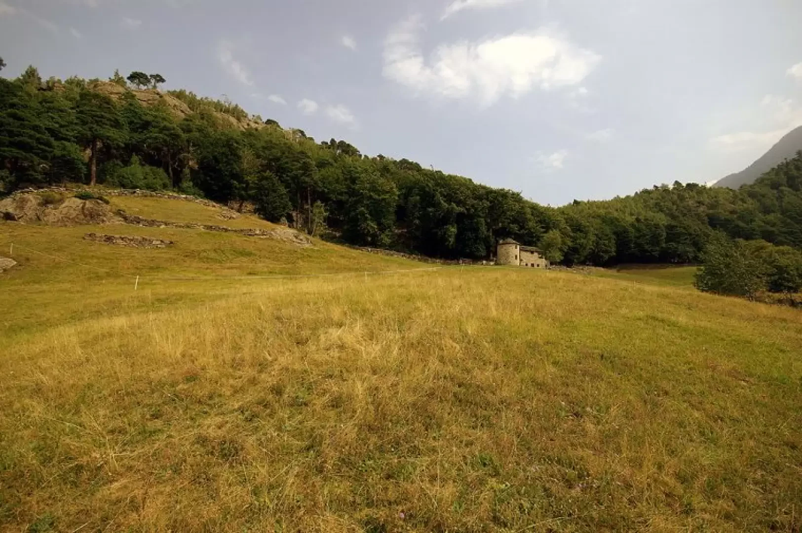
0h00' From the church, along the slope next to the Latteria Sociale, one goes to take - to the right - the Val Fabiolo mule track; one climbs the rather steep wooded bank, also taking advantage of ledges and steps specially carved into the rock. Chapels ('cincet') and small tabernacles hidden in rocky niches testify to a centuries-old passage that was never easy. After gaining height, a short descent takes us around a spur and into the valley proper. When the path reaches the level of the torrent, we begin to see the alluvial disaster: the beautiful mule track comes to a sharp halt and it becomes necessary to look for the passage between the stones. One continues in this manner for over an hour, and the experienced eye of the place can barely recognise the places where the bridges, the fork to Alfaedo and the fork to Sostìla used to rest. Then, where the valley is narrower, we pass to the left into a wood spared by the waters and look for a path that branches off upstream, initially returning towards the direction from which we came. After crossing a few palaeo-landslides, we begin to climb very steeply on an ancient path often carved into the rock and protected in the valley. Note the abundant presence of mistletoe in the foliage of the numerous unapproachable Scots pines on the overhang. We soon reach the meadows of Motta (La muta) 934m with its few huts. From here the path, which becomes marked with paint, climbs further and, on dry and sunny terrain, reaches a rocky ridge in view of the Valtellina; following the few traces among the rocky outcrops, the environment changes completely and we find ourselves in a green and grassy basin surrounded by a dry stone wall with a curious cylindrical hut in the middle: Prà Bramusòi 1089m. We continue uphill for a few minutes and find ourselves walking along a corridor between two heights, which takes us to the Valtellina side. The descent is very uncomfortable and must be undertaken with the utmost care: one proceeds among the now completely mossy boulders of ancient landslides, sometimes with exposure on sheer cliffs. We soon reach the restored huts of Ronco ("Runch") 894m and a path overgrown with vegetation leads towards the visible village of Alfaedo 803m. It is interesting to walk through the narrow alleyways until we reach the parish church and the adjoining 17th-century chapel, both dedicated to St Gotthard. Retracing our steps, beside the gora of a mill that no longer exists, we lose altitude on a beautiful cobbled mule track lined with dry stone walls ("risc"), passing the few huts of Foppa ("Fopa") 692m and, after a recently felled chestnut grove, the houses of Livisolo ("Livisöol") 461m. The trail returns to the side of Val Fabiolo and with narrow rocky hairpin bends goes alongside the "Caurga" rock climbing gym (a historic place for Valtellina climbing in the early 1970s, but still current and popular). In a few steps, you are back at the Sirta, in front of the Latteria Sociale and the car park. It is possible to combine the two hikes into a single tour for a duration of around 6 hours.
General information
Type of route: circular
Recommended period:April, May, June, July, August, September, October, November
Sun exposure:North