Verrayes

Edited by:
Maurizio Bergamini
Introduction
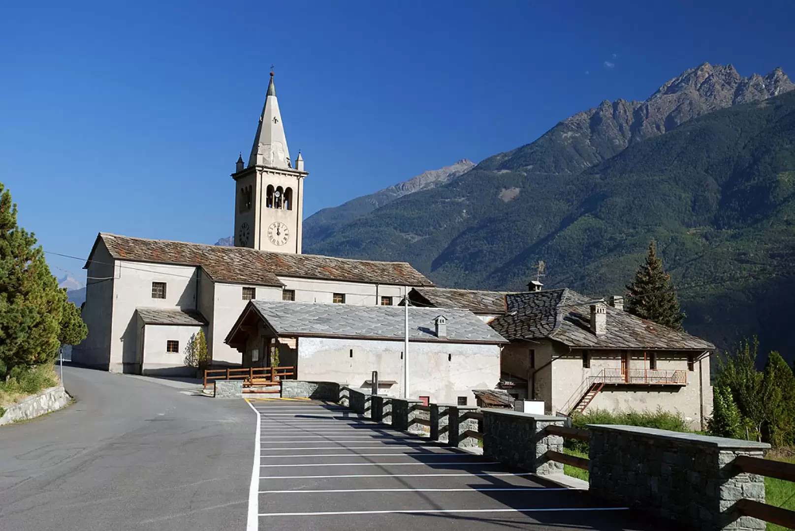
A mid-mountain municipality, located a few kilometres east of Aosta and extending over an altitude difference of 1973 m from the valley floor.Description
It has been known as a mining centre since the Copper Age, and several mines were dug in ancient times to extract this metal. But the main economic resource always remained agriculture, favoured by the privileged exposure to the sun of the left bank of the Dora Baltea river. It is only in more recent years that a few small industrial activities have developed along State Road 26, which runs through the municipal territory at the bottom of the valley.
Information
Area: 22.36 sq km
Altitude: 1017m
Maximum elevation: Becca d'Aver (2469m)
Number of inhabitants: 1347
Name in dialect:
Inhabitant name: verrayons
Patron Saint:
Website: www.comune.verrayes.ao.en
Webcam:
Neighbouring municipalities: Bambave, Fénis, Nus,Saint-Denis, Torgnon
Villages and hamlets: Aver, Charrère, Chérésoulaz, Chérolinaz, Chesseillé, Cort, Crétaz, Diémoz, Dorinaz, Frayé, Grand-Ville, Gros-Ollian, Grossaix, Grumey, Guet, Heré, Hers, Lauzon, Marseiller, Mont-de-Join, Moulin, Oley, Ollières, Payé, Petit-Ollian, Pignane, Pissine, Plan-d'Arey, Plan-de-Vesan, Plan-de-Verrayes, Rapy, Vencorère, Vevoz, Vieille, Voisinal, Vrignier
Alpeggi: