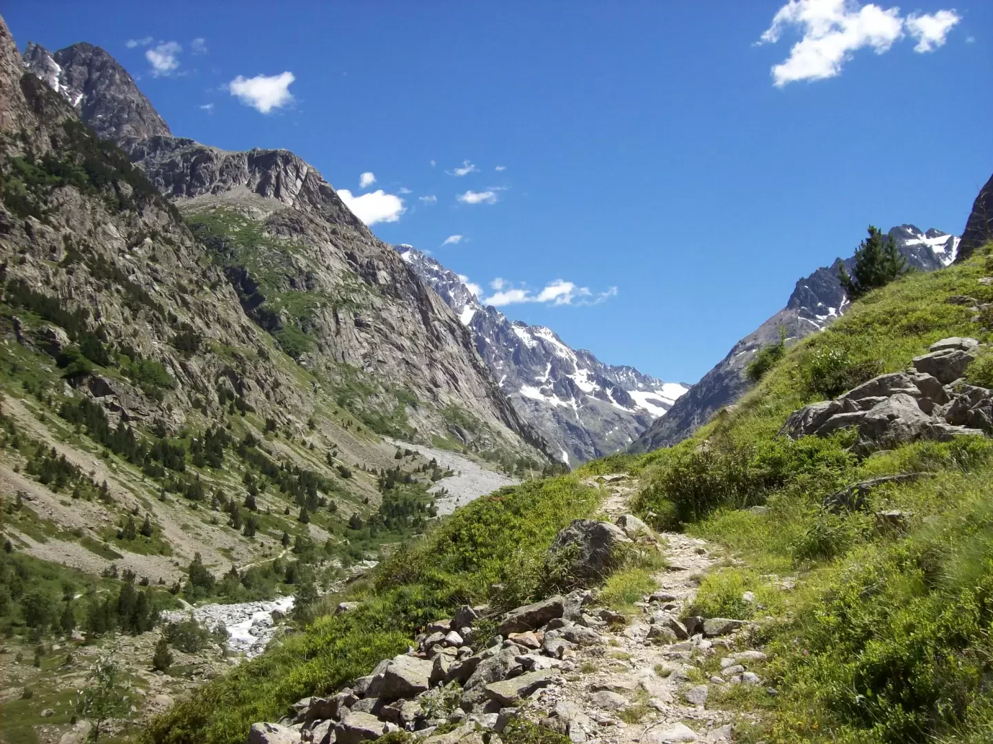
Écrins Park

Introduction
Description
Information
Year founded: 1973
Area: 918 sq km
Maximum elevation: Barre des Écrins (4101m)
Municipalities concerned: Ancelle, Aspres-lès-Corps, Bénévent-et-Charbillac, Besse-en-Oisans, Buissard, Chabottes, Champcella, Champoléon, Chantelouve, Châteauroux-les-Alpes, Chauffayer, Clavans-en-Haut-Oisans, Crots, Embrun, Entraigues, Freissinières, L'Argentière-la-Bessée, La Chapelle-en-Valgaudémar, La Grave, La Motte-en-Champsaur, Lavaldens, Le Bourg-d'Oisans, Le Monêtier-les-Bains, Le Périer, Les Costes, Les Infournas, Les Vigneaux, Mizoën, Mont-de-Lans, Orcières, Oris-en-Rattier, Ornon, Oulles, Pelvoux, Prunières, Puy-Saint-Vincent, Puy-Saint-Eusèbe, Puy-Sanières, Réallon, Réotier, Saint-Apollinaire, Saint-Bonnet-en-Champsaur, Saint-Christophe-en-Oisans, Saint-Clément-sur-Durance, Saint-Eusèbe-en-Champsaur, Saint-Firmin, Saint-Jacques-en-Valgodemard, Saint-Jean-Saint-Nicolas, Saint-Julien-en-Champsaur, Saint-Léger-les-Mélèzes, Saint-Maurice-en-Valgodemard, Saint-Michel-de-Chaillol, Savines-le-Lac, Valbonnais, Valjouffrey, Vallouise, Vénosc, Villar-d'Arêne, Villard-Notre-Dame, Villard-Reymond, Villar-Loubière
Institutional site: www.ecrins-parcnational.fr
Contacts: