La Magdeleine

Access
Leave the motorway junction at Châtillon, turn left and continue for about 300 metres until you come to a roundabout: take the third exit and continue straight on Via Emile Chanoux. Go through the historic centre of Châtillon for about 600 metres and then turn slightly right onto Via Menabreaz to follow for 450 metres until you reach the characteristic roundabout with the "Matterhorn" inside. Take the second exit and take the Valtournenche road, following it for about 7.6km to Antey-Saint-André where you turn right onto for La Magdeleine. Climb up the regional road for 7.5km until you reach the main town of Brengon. Before the church, there is a covered car park on the right 🅿️ where you can leave your car.
[0h26'] - [16.3km]
How to get there with GMaps
How to get there with Apple Maps
The directions provided were carefully checked on the date the route was taken. However, it is highly recommended to check for any changes that may have occurred since then, especially regarding the route to the starting point. Before embarking on your journey, it is advisable to consult up-to-date navigation tools for accurate and up-to-date directions. We recommend the use of satellite navigation apps, such as Google Maps or Apple Maps, to ensure the most accurate and safe routing.
Introduction
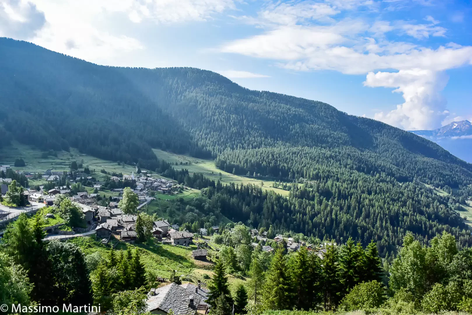
La Magdeleine is the smallest commune in Valtournenche and among the least populated in the Aosta Valley. Situated on the left-hand side of the Marmore stream, it overlooks Torgnon and offers a mountain environment characterised by a tranquillity that attracts those seeking a break from the hectic pace of modern life.
Description
The history of La Magdeleine is closely linked to that of the neighbouring village of Antey. For centuries, in fact, La Magdeleine was a hamlet of it, until the religious separation in 1789 with the creation of an independent parish, followed by the civil division in 1798. Its distance from the main town of Antey was one of the main reasons for its autonomy, which allowed the village to develop its own local identity.
Remaining mainly an agricultural commune, La Magdeleine maintains a close connection with its rural traditions, while opening up to tourism in a discreet manner. Its proximity to the valley floor also favours the commuting of some of its inhabitants, who choose to contribute to local life without giving in to the phenomenon of mountain depopulation.
Surrounded by forests and green pastures, this Alpine village, at an altitude of around 1,640 metres, is a place where the beauty of the landscape blends with the charm of the old wooden and stone dwellings, representative of Valle d'Aosta architecture. Local traditions are still very much alive: the community preserves artisanal knowledge and crafts, such as the production of high-quality cheese and meat, offering visitors authentic and genuine products.
In recent years, tourism has gained in importance, attracting those who wish to immerse themselves in Alpine culture and enjoy an authentic experience far from the big tourist destinations. In the surrounding area, hiking trails are numerous and suitable for various levels of experience; among these are the Ru routes, ancient irrigation canals that cross forests and meadows and offer scenic routes. The Ru of La Magdeleine, well preserved, are historical testimonies of the mountain community's ingenuity in managing water resources.
In the village, you can admire some chapels and community ovens, still used today at local events. Another characteristic feature are the mills, some of which are still in operation, once fundamental to community life and now of both historical and tourist interest. In winter, La Magdeleine becomes a small oasis for snow activities, with a ski resort suitable for families and beginners, and snowshoeing trails through landscapes immersed in the silence of nature.
La Magdeleine is an ideal place for those seeking tranquillity and a deep contact with nature and the simplicity of Alpine life, far from the distractions of modernity.
Information
Area: 8.94 square km
Altitude: 1,644m
Maximum elevation: Mont Tantané (2734m)
Number of inhabitants: 100 (31.05.23)
Name in dialect: La Madélène
Name in dialect: madeleins - in patois Madélèn (masc. sing. and plur.) / Madélentse
Patron Saint: St. Mary Magdalene (22 July)
Website: www.comune.la-magdeleine.ao.it/it
Webcam: la-magdeleine.panomax.com
Neighbouring towns: Antey-Saint-André, Ayas, Chamois, Châtillon
Points of Interest
- The Chapel of Saints Roch and Sebastian in Messelod
- The Chapel of Our Lady of the Snow in Vieu
- The Parish Church of Saint Mary Magdalene in Brengon