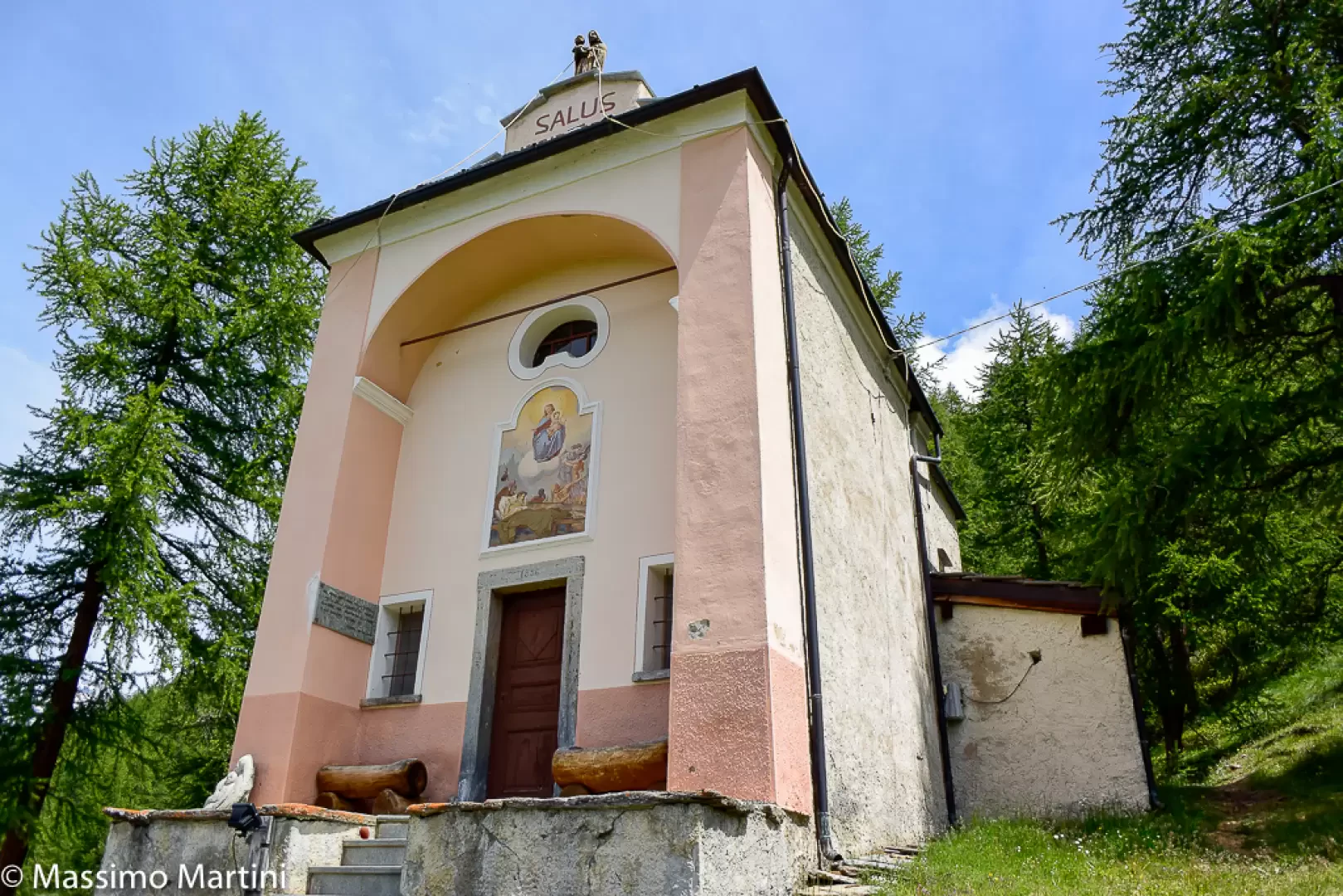
Chapel of Notre-Dame-de-Guérison in Cheneil

Access
From the Châtillon motorway exit, turn left onto Via E. Chanoux. Go past the roundabout, take the third exit and continue through the town centre for about 600 metres, then turn right into Via Menabrea. Follow this road to the roundabout with the 'Matterhorn' in the middle. Continue along the regional road for 18.7 kilometres to Valtournenche, where, towards the end of the town centre, at Hotel des Neiges, turn right and up the municipal road to Cheneil. Follow the road for 6.5 kilometres to the 🅿️ car park at La Barma, the starting point of the hike. The car park is large, but due to the large number of people, it is advisable to arrive early enough on peak days to avoid having to leave your car further down the ascent road. Just beyond the starting point there is a tourist lift, always in operation, which saves 50 metres of ascent.
[0h42'] - [26.9km]
How to get there with GMaps
How to get there with Apple Maps
The directions provided have been carefully checked as of the date the route was taken. However, it is highly recommended to check for any changes that may have occurred since then, especially regarding the route to the starting point. Before embarking on your journey, it is advisable to consult up-to-date navigation tools for accurate and up-to-date directions. We recommend the use of satellite navigation apps, such as Google Maps or Apple Maps, to guarantee the most accurate and safe route.
The chapel can only be reached on foot.