Champdepraz

Edited by:
Maurizio Bergamini
Introduction
A valley bottom municipality in the lower Valle d'Aosta, located on the orographic right of the Dora Baltea river. The place name itself is a reminder of its agricultural vocation, although for long centuries the apparently more profitable land, i.e. that of the flat part, was subject to flooding.Description
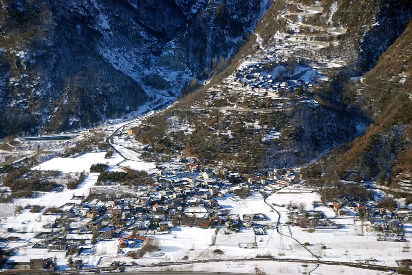
Municipality at the bottom of the valley, in the lower Valle d'Aosta, located on the orographic right of the Dora Baltea river. The place name itself is a reminder of its agricultural vocation, although for long centuries the apparently more profitable land, i.e. that of the flat part, was subject to flooding. Better fortune was had by the numerous iron and copper mines that from the 17th century were also exploited by foreign companies, with benefits for the employment of the residents, but with serious detriment to environmental health. The definitive closure of all mining activity dates back to 1957. Today, agricultural activity has been joined by industrial activity, thanks to the establishment of a number of entrepreneurial activities, some of considerable size.
Since 1989, the Mont Avic Regional Nature Park has been established in the municipality, thanks to the collaboration of Fiat, which has ceded the management of a vast uninhabited area of great naturalistic interest in a high mountain environment to the Autonomous Region of Valle d'Aosta.
A valley bottom municipality in the lower Valle d'Aosta, located on the orographic right of the Dora Baltea. The place name itself is a reminder of its agricultural vocation, although for long centuries the apparently more profitable land, i.e. that on the flat side, was subject to flooding. Better fortune was had by the numerous iron and copper mines that from the 17th century were also exploited by foreign companies, with benefits for the employment of the residents, but with serious detriment to environmental health. The definitive closure of all mining activity dates back to 1957. Currently, agricultural activity has been joined by industrial activity, thanks to the establishment of a number of entrepreneurial activities, some of considerable size. Since 1989, the Mont Avic Regional Nature Park has been established in the municipality, thanks to the collaboration of Fiat, which has given the Autonomous Region of Valle d'Aosta the management of a vast uninhabited area of great naturalistic interest in a high mountain environment.
Information
Information sheet
Area: 48.49 sq km
Altitude: 523m
Maximum elevation: Mont Avic (3006m)
Number of inhabitants:
Name in dialect:
Inhabitants name:
Patron Saint: Saint-François de Sales (24 January)
Internet site:
Webcam:
Neighbouring municipalities: Chambave, Champorcher, Châtillon, Fénis, Issogne, Montjovet, Pontey, Verrès
Villages and hamlets: Barbustel, Bianzet, Boden, Capiron, Capoluogo, Chantonet, Covarey, Crestaz, Cugnon, Dialley, Fabbrica, Fussy, Gettaz des Allamands, Hérin, La Veulla, Le Sale, Losson, Viering
Alpeggiations:
Champdepraz: the proposed reports
- relationship-map
- Mountaineering
- Mountaineering
- Icefalls
- Rambling
- Mountain biking
- Snowshoeing
- Ski Mountaineering
- Trekking
- Via Ferrata
Community
The territory
Other information about the municipality
What to do in Champdepraz
External links
- www.montavic.it