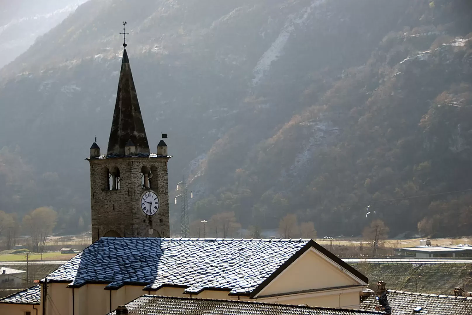
Chambave

Introduction
A hilly municipality, located a few kilometres west of Châtillon, along the route of what was once the Roman road of the Gauls, with the main town on the left side of the Dora Baltea, but with the territory also extending to the other side of the valley.Description
Maybe it was already inhabited in prehistoric times due to some iron deposits and then by the Salassi and the Romans. Certainly, the village took on considerable importance in the Middle Ages, when it was in fact the capital of the seigniory of Cly, whose castle, now in the territory of Saint-Denis, can still be seen, albeit rather shabby. The seigniory itself was rather coveted and passed from family to family until 1843.
The prevailing activity was always farming, although recurring floods did not encourage it. Viticulture has always been the leading sector: the Muscat of Chambave is already mentioned in documents dating back to the 14th century. Even today, this activity is particularly renowned and the winegrowers, united in an association, produce and market highly sought-after DOC wines
Information
Area: 21.38 sq km
Altitude: 486m
Maximum elevation: Mont Avic (3006m)
Number of inhabitants: 947
Name in dialect: Tsambava
Inhabitants name: Chambosards - Tsambosar, Tambosarde
Patron Saint: Saint-Laurent (10 August)
Internet site: www.comune.chambave.ao.it
Webcam: nd
Neighbouring communes: Champdepraz, Fénis, Pontey, Saint-Denis, Verrayes
Villages and hamlets: Arlier, Ayer, Cesseya, Champagne, Champlan, Chandianaz, Clapey, Cret, Croux, Golliaz, Grenellaz, Guichet, Jovençanaz, La Meyaz, La Plantaz, La Poya, Les Fosses, Margnier, Montcharrey, Moulin, Ollières, Parleaz, Perret, Perrod, Pillionet, Plan du Pont, Prati, Praz, Promassaz, Septumian, Tercy, Thuy, Vallery
Alpeggi: