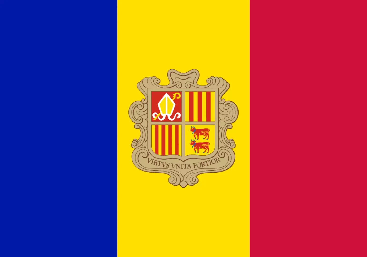
Andorra

Access
Andorra, nestled between France and Spain, is only accessible by land, as it has no airport or railway stations of its own. Travellers can choose between several ways to reach the main locations in the Principality.
The nearest international airports are Barcelona-El Prat (about 200 km), Toulouse-Blagnac (about 195 km) and Girona-Costa Brava (about 260 km). From these airports, there are direct bus services connecting the airport cities to Andorra la Vella, with travel times ranging between 3 and 4 hours.
For those who prefer the train, the nearest railway stations are L'Hospitalet-près-l'Andorre in France and Puigcerdà in Spain. From L'Hospitalet-près-l'Andorre, located about 10 km from the Andorran border, daily buses run to Andorra la Vella in about two hours.
Similarly, bus connections are available from Puigcerdà via La Seu d'Urgell.
For those travelling by car, Andorra is served by a well-developed road network. The main access roads are the CG-1, which connects the country to Spain via La Seu d'Urgell, and the CG-2, which leads to France via the Tunnel d'Envalira, located at an altitude of 2,409 metres. Within the Andorran territory, roads are generally well maintained, but it is advisable to pay attention to weather conditions, especially in winter, when snow and ice can affect the road network.
In summary, although Andorra does not have its own airport or railway infrastructure, it is easily accessible thanks to nearby airports and railway stations in France and Spain, as well as an efficient road network connecting the main locations in the Principality.
Introduction
Andorra, a small principality nestled between France and Spain, is a microstate rich in history, culture and natural beauty. With an area of only 468 km², it is the sixth smallest state in Europe and is home to approximately 85,000 inhabitants. Founded in 1278, Andorra is governed by a unique co-presidential system, with sovereignty shared between the President of the French Republic and the Bishop of Urgell. This mountainous territory is distinguished by its spectacular mountains, rich cultural tradition and prosperous economy based on tourism and the financial sector.
Description
Andorra is located in the heart of the Eastern Pyrenees, a mountain range that defines its geographical and landscape character. The territory is predominantly mountainous, with peaks reaching almost 3,000 metres, such as Coma Pedrosa (2,942 m), the highest point in the principality. The landscape is marked by deep valleys, waterways such as the Valira River, and glacial lakes, known locally as estany. The climate varies between alpine and continental, with snowy winters and cool summers, making Andorra an ideal destination for lovers of nature and outdoor sports.
The history of Andorra dates back to 805, when Charlemagne, according to tradition, granted autonomy to the Andorrans in exchange for their alliance against the Moors. In 1278, a paréage agreement established shared government between the Count of Foix and the Bishop of Urgell, a system that evolved into the modern coprincipality. Its strategic location made Andorra a smuggling point during the European wars, but also a place of peace and neutrality. With the adoption of a democratic constitution in 1993, Andorra modernised its political system, consolidating itself as a prosperous and independent state.
Andorra's economy is mainly based on tourism, which accounts for about 80% of GDP. Ski resorts, such as Grandvalira and Vallnord, attract millions of visitors each year. The principality is also known for its free port status, which has stimulated trade and made banking a mainstay of the economy. Despite its limited agricultural territory, sheep breeding and cigar production are traditional activities that are still practised.
Andorra boasts a rich cultural heritage, celebrated in festivals such as the Diada de Meritxell, dedicated to the patron saint, and in traditional events such as craft markets. The local cuisine reflects Catalan and French influences, with typical dishes such as coca and recipes based on meat and mountain cheeses. Traditional handicrafts, particularly woodworking and textiles, are an integral part of the Andorran identity.
Andorra offers numerous hiking trails and spectacular viewpoints. Among them, the Madriu-Perafita-Claror Valley, a UNESCO World Heritage Site, stands out for its unspoilt beauty and ecological importance. Mountain refuges, such as those in the Grau Roig area, offer accommodation for hikers. In winter, the Grandvalira and Vallnord ski slopes attract enthusiasts from all over the world, while in summer, hiking and mountain biking are popular activities.
The Madriu-Perafita-Claror Valley is Andorra's best-known natural park, protected by UNESCO for its cultural and natural significance. Other natural areas provide habitats for unique species of flora and fauna, making the principality a valuable place for the preservation of the mountain ecosystem.
Romanesque churches such as Sant Joan de Caselles and Sant Esteve stand out among the cultural heritage. The Casa de la Vall, a former parliament, tells the country's institutional history. The Madriu-Perafita-Claror valley is an extraordinary example of the symbiosis between man and nature, which is included in the UNESCO list. Historical monuments, museums and archaeological sites complete the cultural offer, attracting visitors interested in history and art.
Andorra is therefore a destination that combines natural beauty, fascinating history and a varied tourist offer, ideal for those seeking an immersive and experience-rich holiday.
Information
Capital: Andorra la Vella
Area: 468 sq km
Minimum elevation: 840m
Maximum elevation: 2,942m - Coma Pedrosa
Number of inhabitants: 84.458 (as of 2014)
Official name: Principat d'Andorra
Inhabitants name:Andorrans
Regions: list - on the map
Provinces: list - on the map
Bordering countries: France, Spain
Territory
- protected-areas - map
- colli - map
- lakes - map
- vette - map
- shacks - map refuges - map
Cultural Heritage
- Places of Worship
- boroughs castles
- bridges
- towers