Sergio Enrico

Wrote 32 reports, for a total distance of 0,00m up and a total elevation gain of 30,43Km and 184 hours of walking
Edited by:
Sergio Enrico
Mont Valaisan
Tour with several ups and downs to be made when the Petit St Bernard road is open.
BS
0.00 Km
900 m
Edited by:
Sergio Enrico
Mont Bieteron, from the car park at Fenillettaz
Short but very pleasant excursion.
MS
0.00 Km
779 m
Edited by:
Sergio Enrico
Punta Palasina, from the Fenillettaz car park
Beautiful winter trip on very sunny slopes suitable for skiing.
BS
0.00 Km
967 m
Edited by:
Sergio Enrico
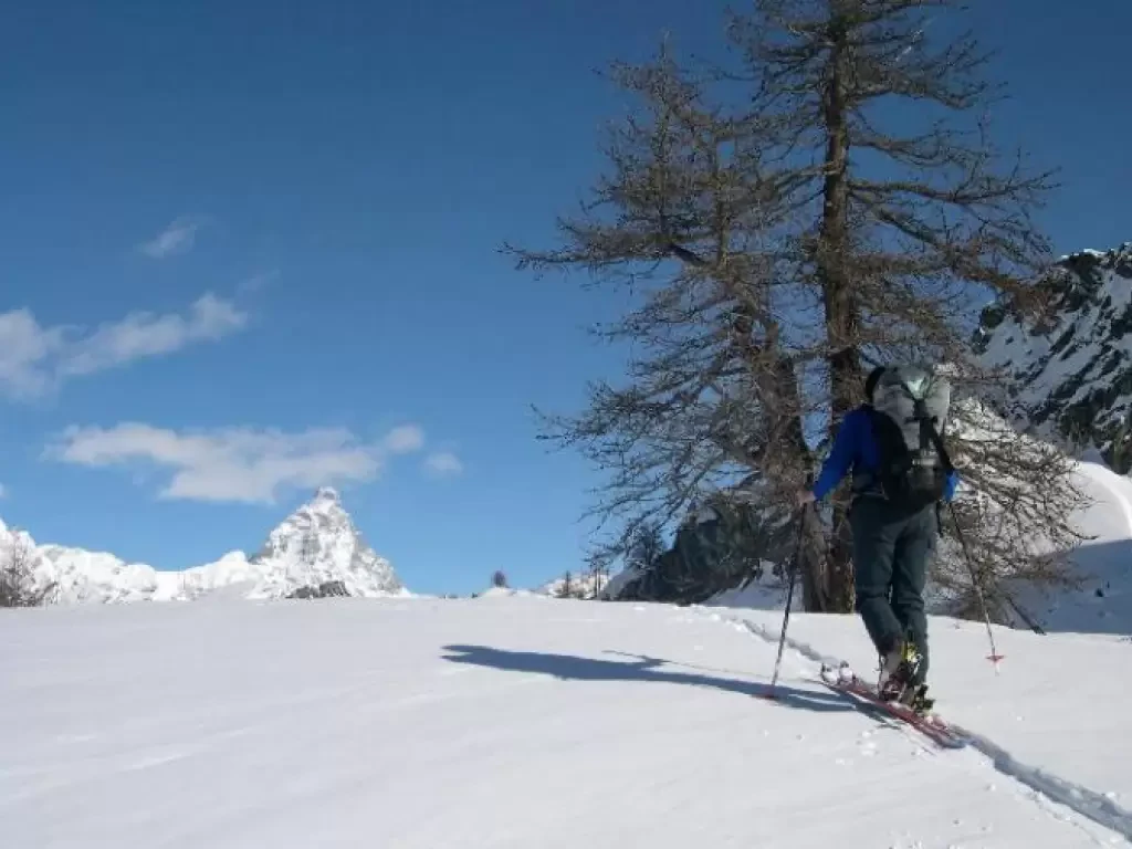
Punta Valnera, from the car park at Fenillettaz
A very popular winter route. The last section of the col requires well-balanced snow..
BS
0.00 Km
873 m
Edited by:
Sergio Enrico
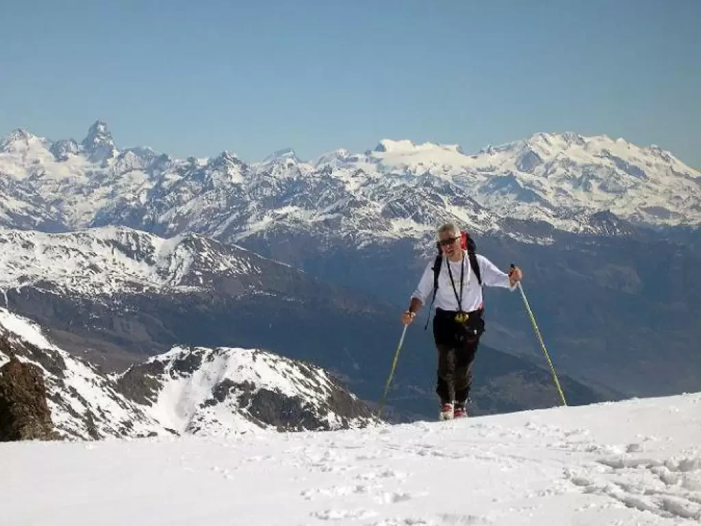
Fenêtre d'Ersaz, from Etirol
Itinerary on wide, sunny slopes. From the pass the view of the Matterhorn is stupendous. ⚠️ The last steep section to...
MS
0.00 Km
692 m
Edited by:
Sergio Enrico
Col Planaval, from Planaval
Very beautiful tour, although the first part must be done carrying skis on your back. The sunny exposure recommends an...
BS
0.00 Km
1360 m
Edited by:
Sergio Enrico
Cima di Marmontana, from Pillaz
Complex route that alternates between steep sections and flat areas, made for those who prefer landscape to skiing. It should...
BS
0.00 Km
1120 m
Edited by:
Sergio Enrico
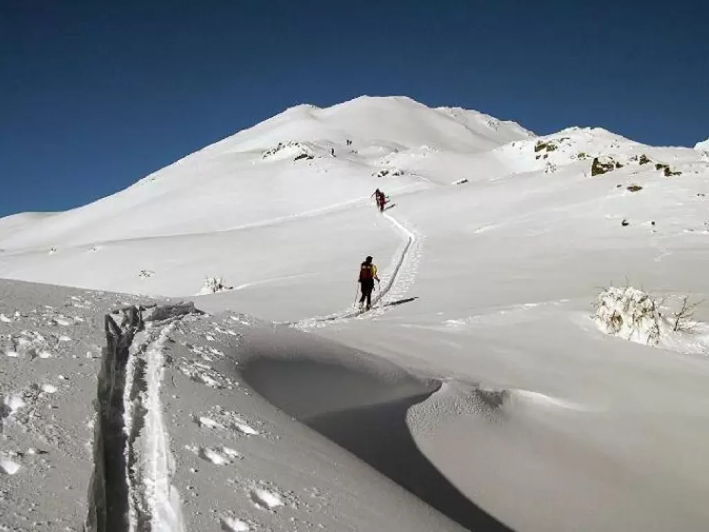
Punta Leretta, from Coumarial
This winter trip is ideal for beginning ski mountaineering because it takes place over meadows and through sparse forests with...
MS
0.00 Km
637 m
Edited by:
Sergio Enrico
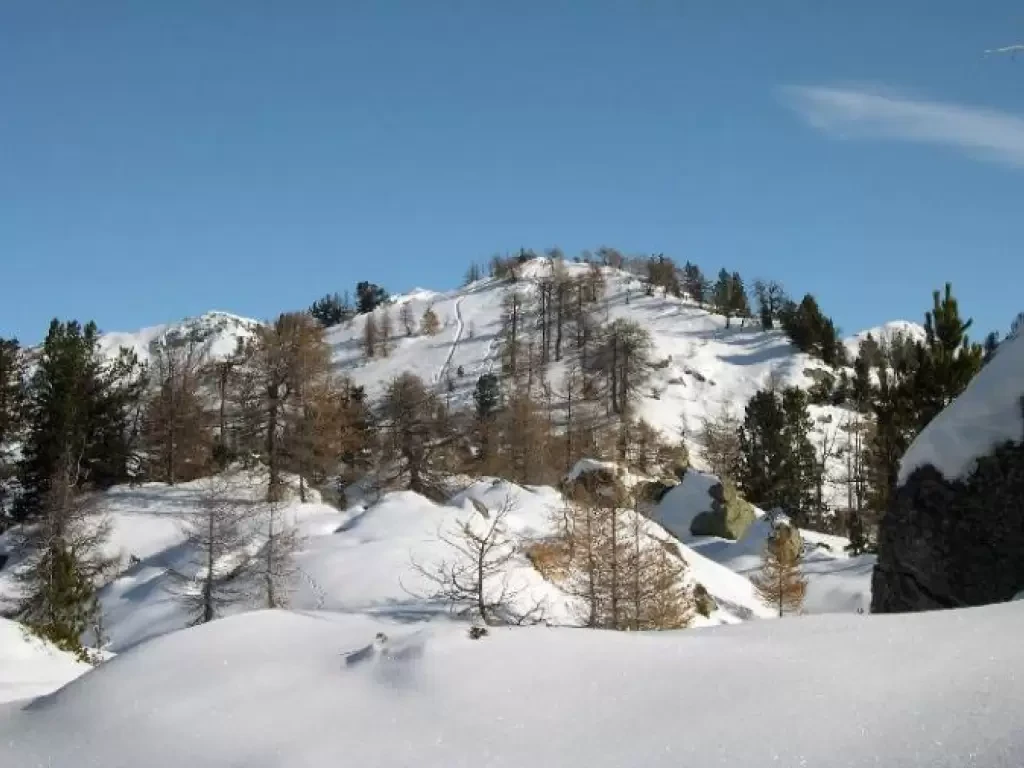
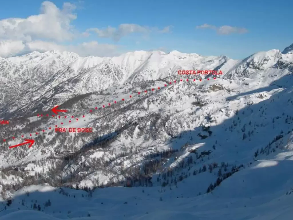
Costa Portola, from Sassa
A very varied circular route that begins between terraces, then follows a stretch of road, larch forests and beautiful clearings....
BS
0.00 Km
780 m
Edited by:
Sergio Enrico
Mont Paglietta, from Prailles
Short but very beautiful hike through a sparse larch forest to be done in powder snow. It is possible, if...
MS
0.00 Km
922 m
Edited by:
Sergio Enrico
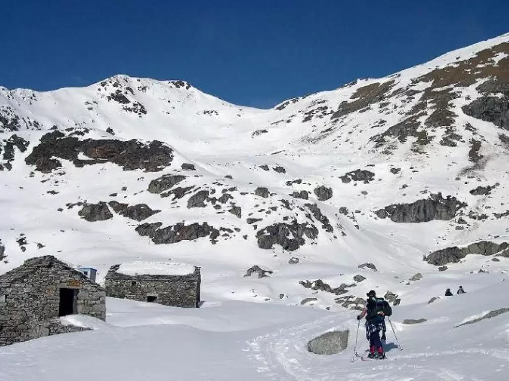
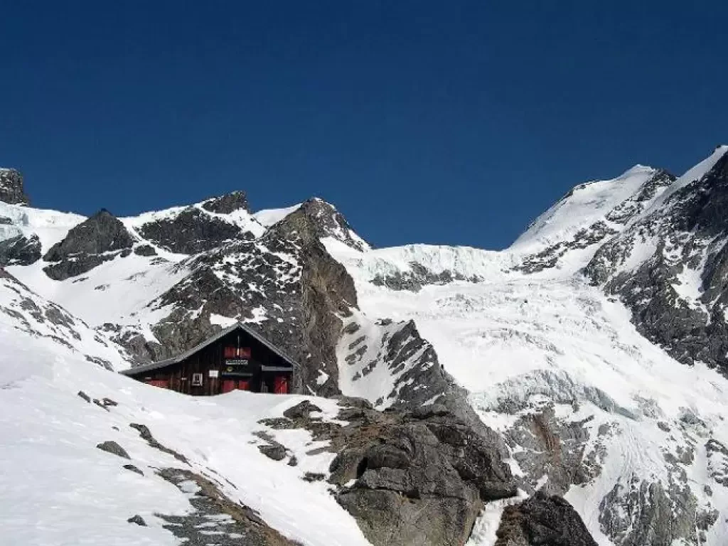
Mezzalama Refuge, from the Frachey car park
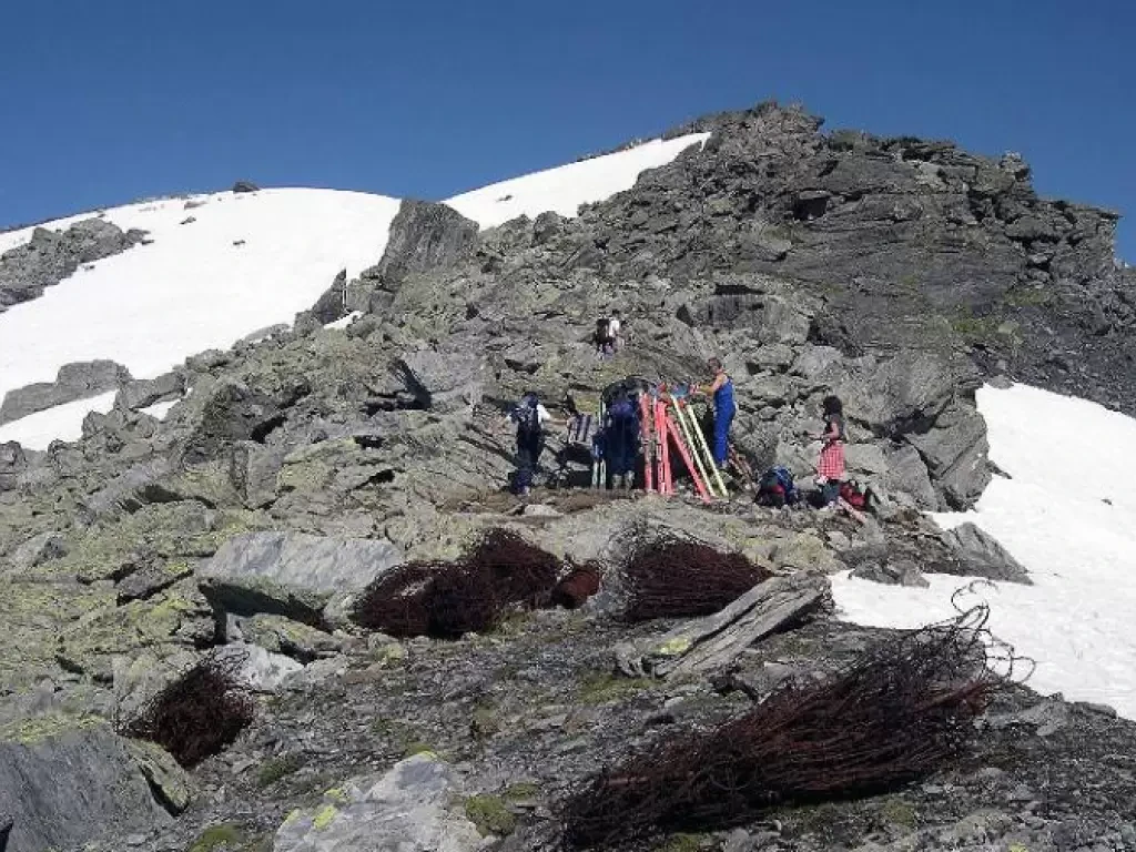
Little-used route that enters the centre of the Monte Rosa chain. The environment and the descent by a parallel route...
BS
0.00 Km
1314 m