Wrote 7 reports, for a total distance of 4,13Km up and a total elevation gain of 4,06Km and 59 hours of walking
Active filters:
User: 3110
Showing 8 results
with active filters
Loading...
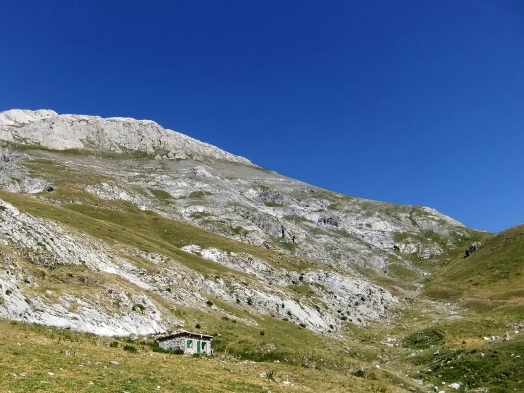
Cima delle Saline, from lower Carnino
The Cima delle Saline (2,612 m) dominates the upper Tanaro Valley with its characteristic limestone outline, on the border between...
10.83 Km
1236 m
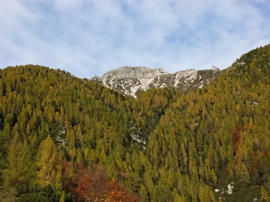
Cima dell'Asnas, from Bocchetto Sessera
The hike, with a total height difference of 1050 metres and classified as 'E' difficulty, has an estimated duration of...
0.00 Km
m
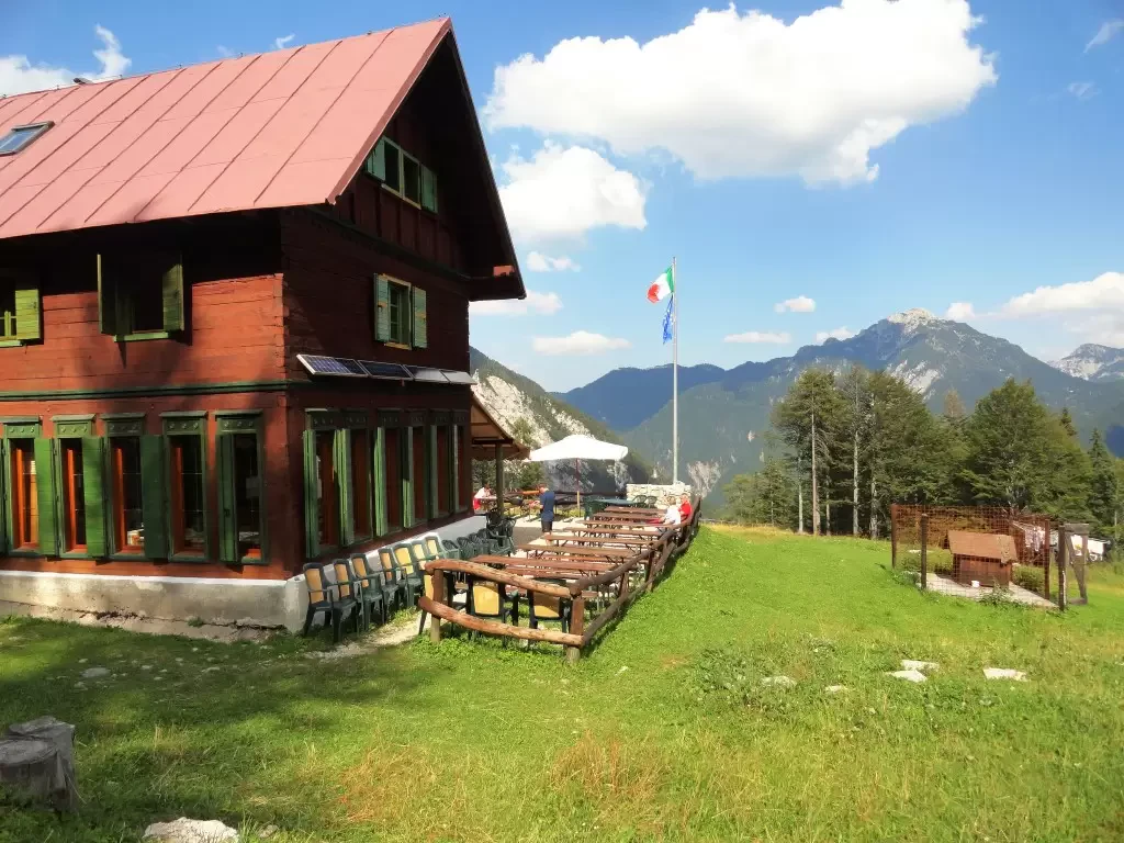
Cima dell'Angiolino, from Balmella
A fascinating hike that winds its way through characteristic alpine pastures, affording sweeping views of the picturesque Locana valley. The...
13.47 Km
1228 m
Mares Peak
l percorso attraversa ambienti variegati, passando da boschi misti a prati aperti e crinali panoramici. Lungo il tragitto, si possono...
T2
0.00 Km
0 m
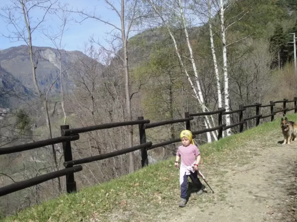
Ru de Lies
Municipality Antey-Saint-André
Itinerary:
Tourist information office square - Lies hamlet and return
Walking time
about one and a half hours...
T1
0.00 Km
0 m


