Ivano Ruffoni

Wrote 103 reports, for a total distance of 33,99Km up and a total elevation gain of 75,50Km and 624 hours of walking
Edited by:
Ivano Ruffoni
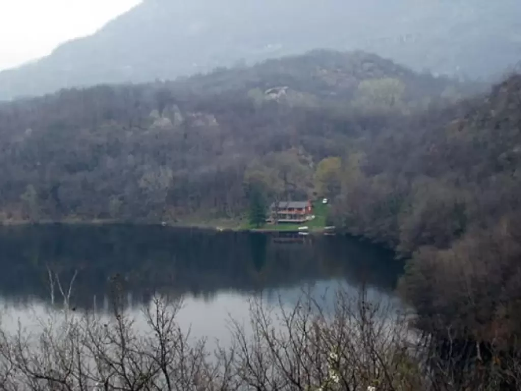
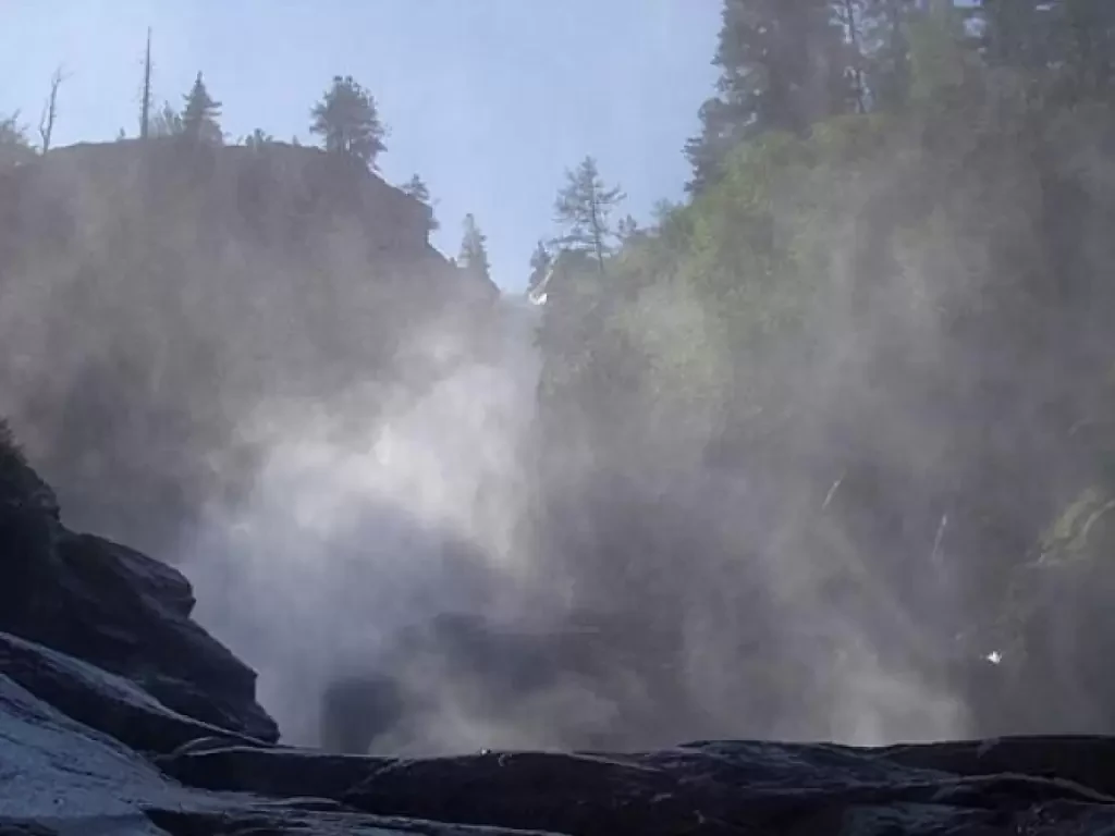
Rutor Falls
The Rutor torrent, fed by the many small lakes at the north-west end of the Rutor Glacier, Italy's sixth largest...
T2
0.00 Km
393 m
Edited by:
Ivano Ruffoni
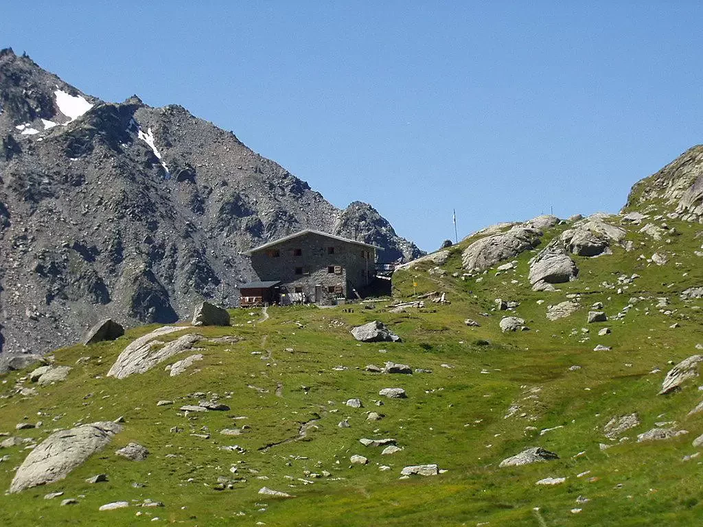
Deffeyes Refuge, from La Joux
The proposed itinerary is probably the most popular in the La Thuile valley: it climbs up near the main Rutor...
T2
12.00 Km
891 m
Edited by:
Ivano Ruffoni
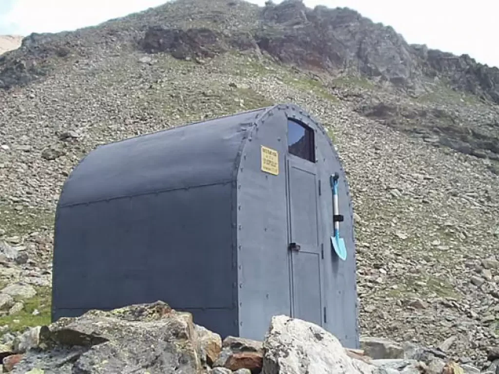
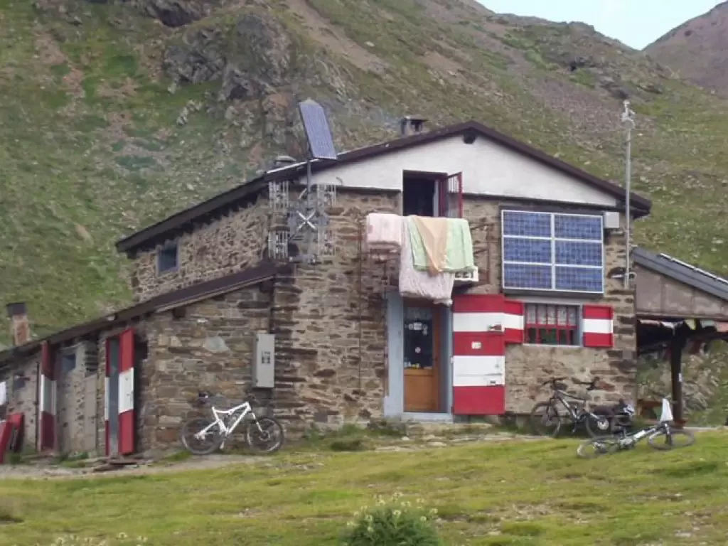
Nebbia Bivouac, from Gimillan
The Franco Nebbia bivouac, located on a debris terrace below Col and Lake Garin, was inaugurated in July 2005. The...
T2
12.00 Km
927 m
Edited by:
Ivano Ruffoni
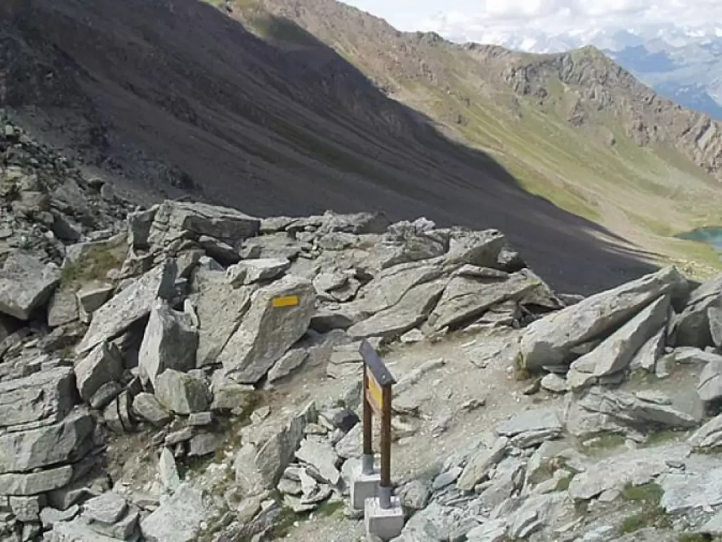
Col Garin, from Gimillan
The Franco Nebbia bivouac, located on a debris terrace below Col and Lake Garin, was inaugurated in July 2005. The...
T2
13.00 Km
1048 m
Edited by:
Ivano Ruffoni
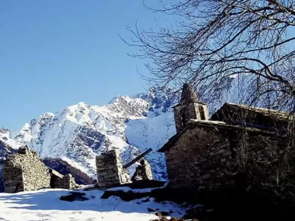
Nivolastro
A short walk through the woods leads to the now uninhabited hamlet of Nivolastro. During the itinerary, one crosses several...
T2
3.61 Km
486 m
Edited by:
Ivano Ruffoni
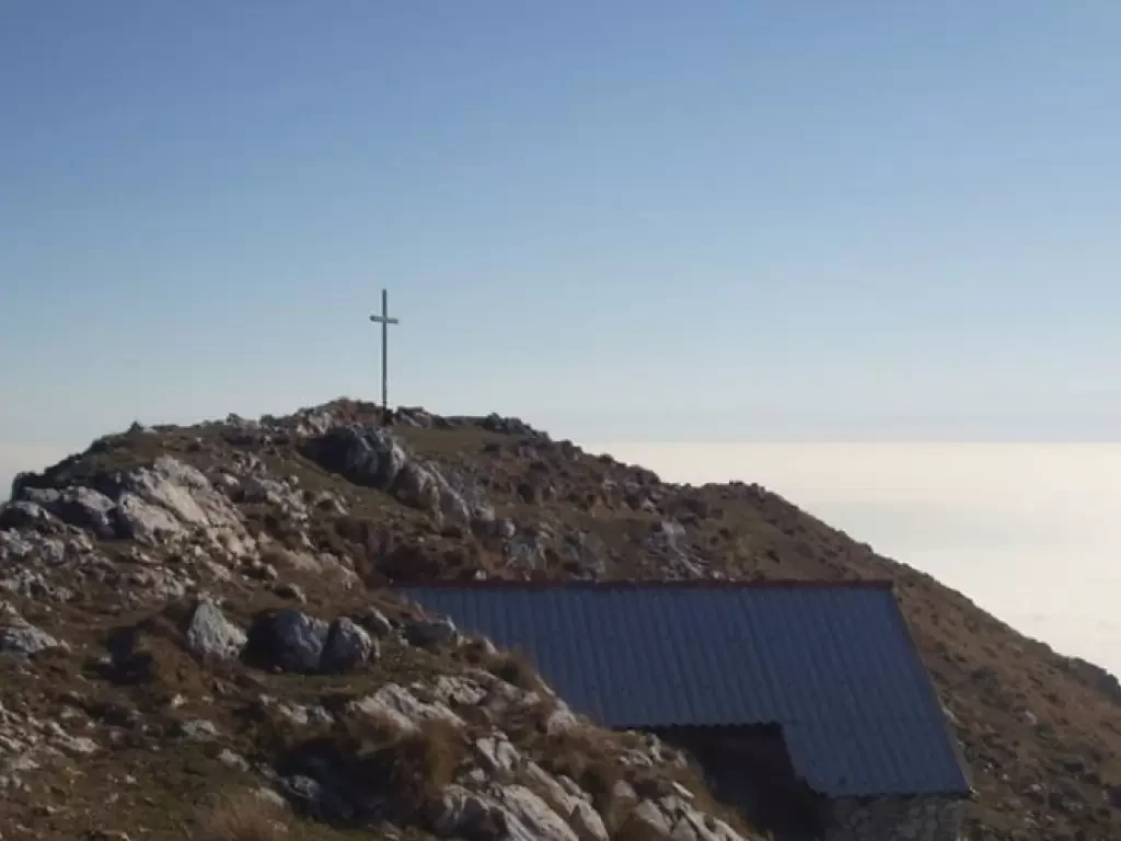
Cima Comer, from Sasso
The Cima Comer is a grassy elevation rich in limestone outcrops to the south of Monte Denervo and separated from...
T2
0.00 Km
750 m
Edited by:
Ivano Ruffoni
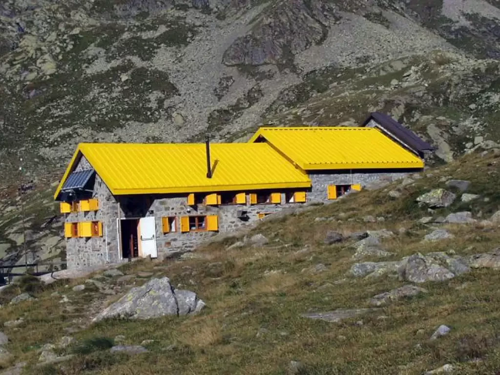
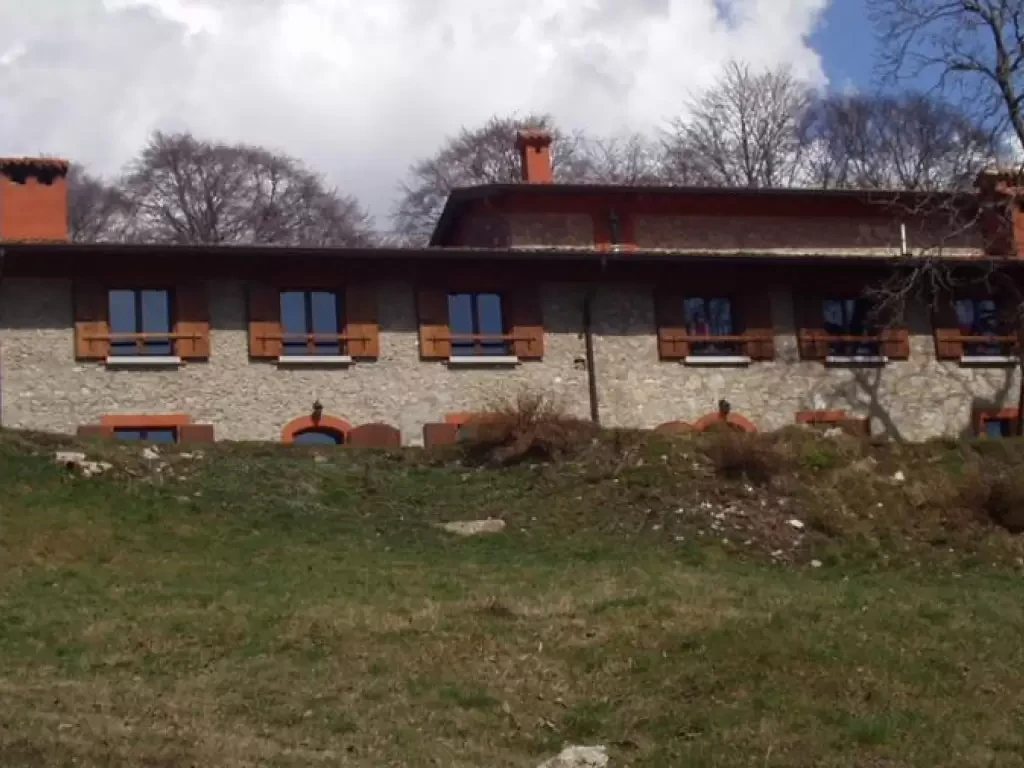
Rifugio Bozzi, from Pra del Rum
The proposed route, which is quite popular, takes place entirely in the Stelvio National Park (Nationalpark Stilfser Joch).
T2
0.00 Km
715 m
Edited by:
Ivano Ruffoni
Monte Pizzoccolo, from Cascina Ortello di Sotto
Mount Pizzocolo, together with the Monte Baldo chain on the Veronese shore, is certainly the mountain that most characterises the...
T3
0.00 Km
899 m
Edited by:
Ivano Ruffoni
Rifugio Campiglio di Cima
Easy and short excursion in the Alto Garda Bresciano Park. The Campiglio di Cima refuge, in local dialect "Campèi de...
T2
0.00 Km
467 m
Edited by:
Ivano Ruffoni
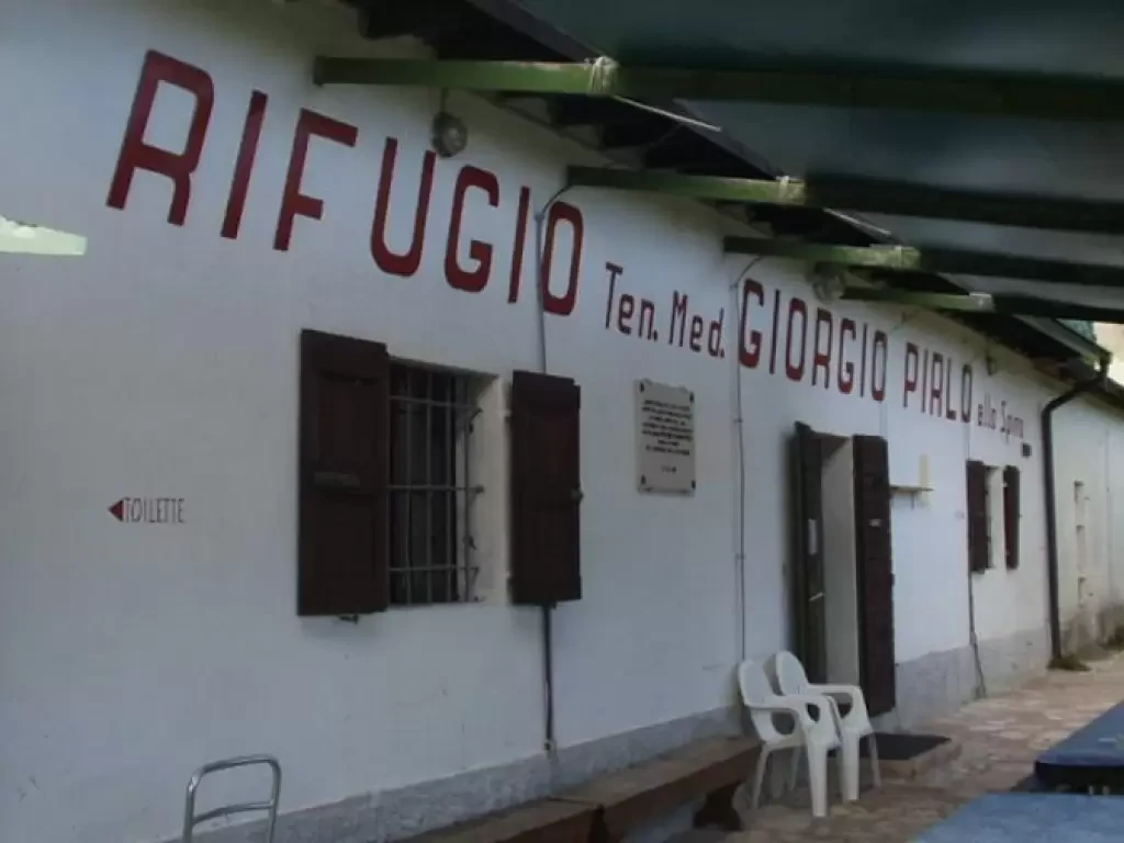
Refuge Pirlo allo Spino, from Palazzo di Archesane
The Rifugio Giorgio Pirlo allo Spino, dedicated to Salodiano Lieutenant Doctor Giorgio Pirlo who died in Greece during World War...
T2
0.00 Km
349 m