Giovanni Mazzolani

Wrote 15 reports, for a total distance of 12,10Km up and a total elevation gain of 9,36Km and 86 hours of walking
Edited by:
Giovanni Mazzolani
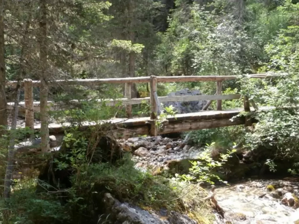
Pioneer Trail - Monte Piano - Tourist Trail, from Lake Landro
The 'Pioneer Path' (Pionierweg), was prepared as a mule track, even before the Great War, by Austrian troops. The trail...
T3
12.00 Km
906 m
Edited by:
Giovanni Mazzolani
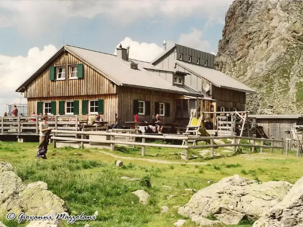
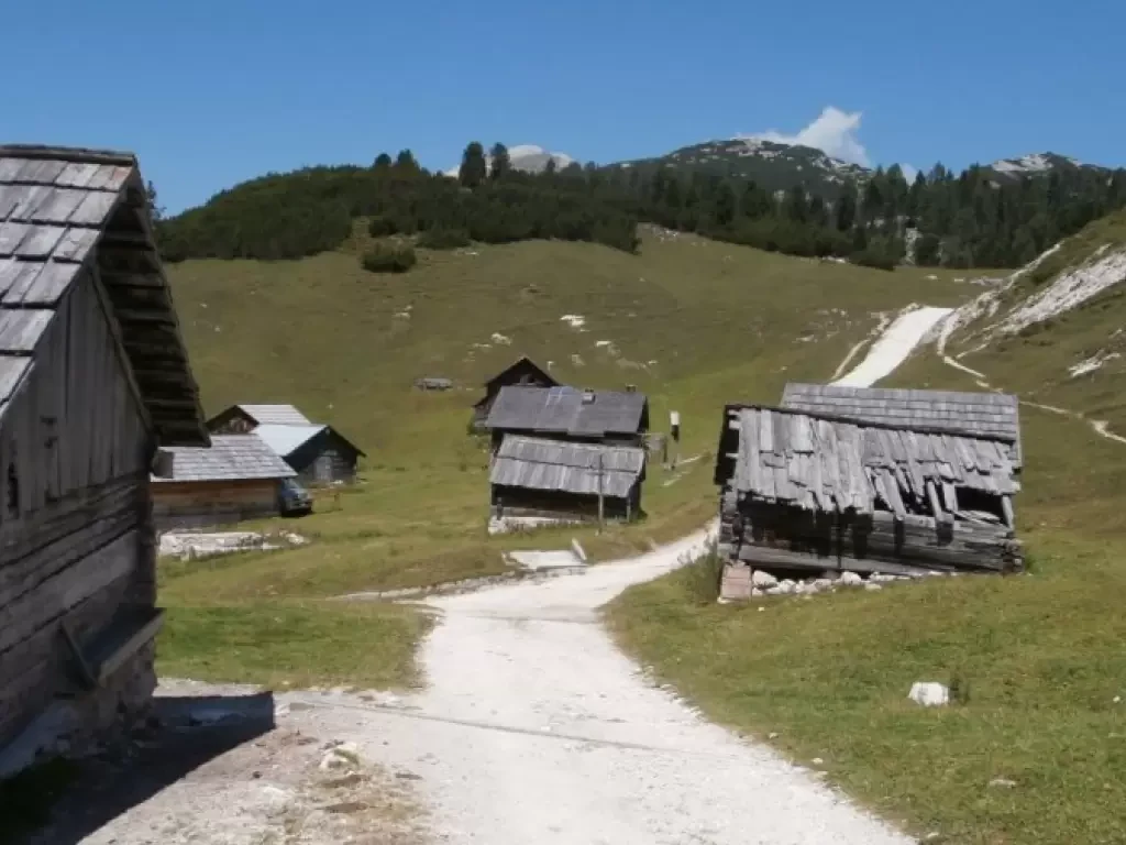
Monte Rudo Height 2175
Approximately opposite the Hotel Tre Cime (Dreizinnenhotel) in Landro (Höhlenstein) is a grassy clearing where you can leave your car,...
0.00 Km
769 m
Edited by:
Giovanni Mazzolani
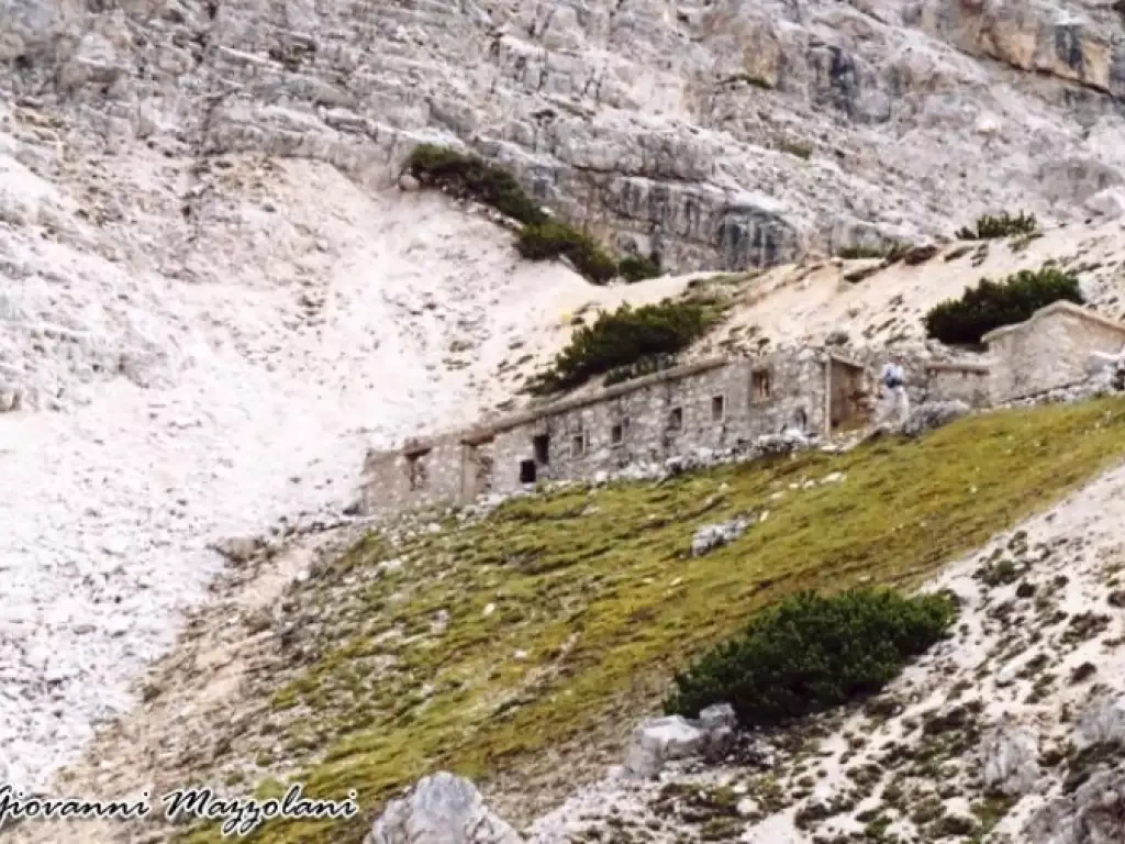
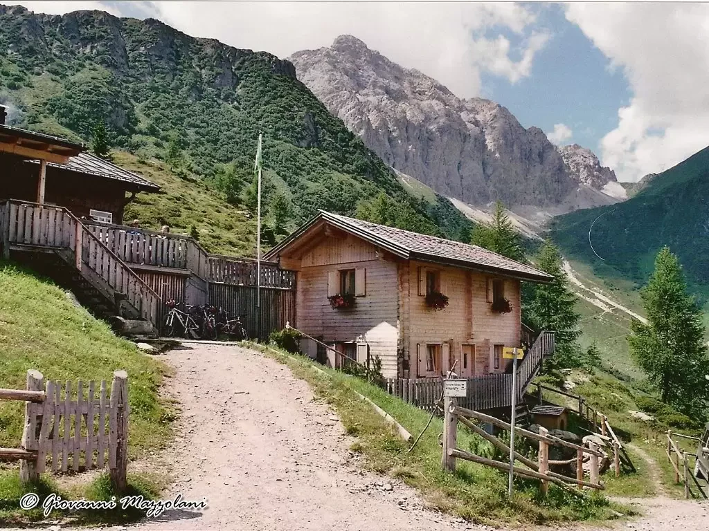
Slataper Bivouac
There are two possible solutions from the car park: 1) Take the chairlift and go up to the 1580 m....
16.00 Km
1405 m
Edited by:
Giovanni Mazzolani
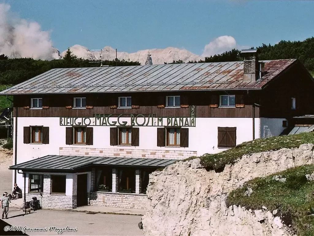
Angelo Bosi Major Refuge at Monte Piana
The partly asphalted military road, now closed to traffic even for cyclists, begins at the shuttle parking area. After a...
10.00 Km
451 m
Edited by:
Giovanni Mazzolani
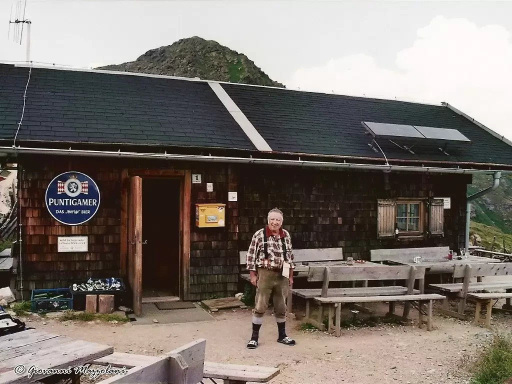
San Marco Refuge
From the chair lift car park, take the cart track (closed to traffic) which ends a few hundred metres after...
7.00 Km
578 m
Edited by:
Giovanni Mazzolani
Rifugio Palmieri on the Croda da Lago, from Pian del Pantan
8.00 Km
338 m
Edited by:
Giovanni Mazzolani
Giussani Refuge
The Tofane were in the First World War the site of bitter fighting. It is worth mentioning the Castelletto where,...
6.00 Km
537 m