Marco Bonati
Wrote 242 reports, for a total distance of 63,77Km up and a total elevation gain of 196,64Km and 1.702 hours of walking
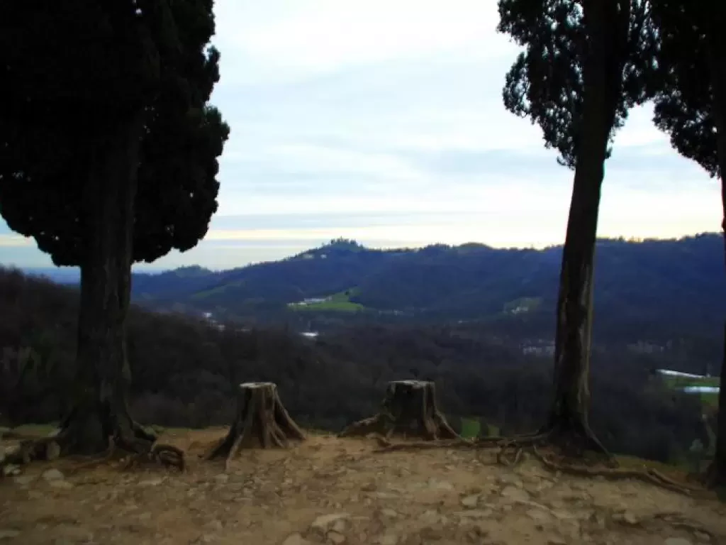
Montevecchia, from Quattrostrade
You are inside the 'Natural Park of Montevecchia and the Curone Valley', among the last hills of Brianza, overlooking the...
T2
0.00 Km
70 m
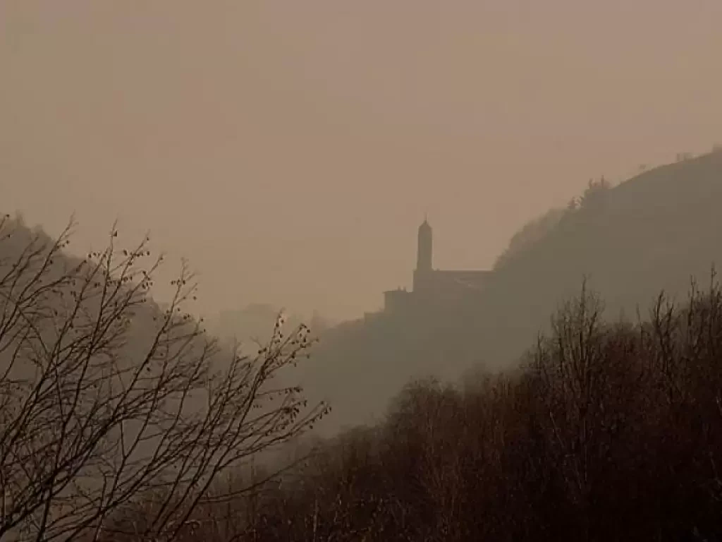
Tour of Val Perlana, from Ossuccio
A very worthwhile, and therefore very popular, excursion, which in an easy loop links three religious buildings well known to...
T2
10.00 Km
600 m
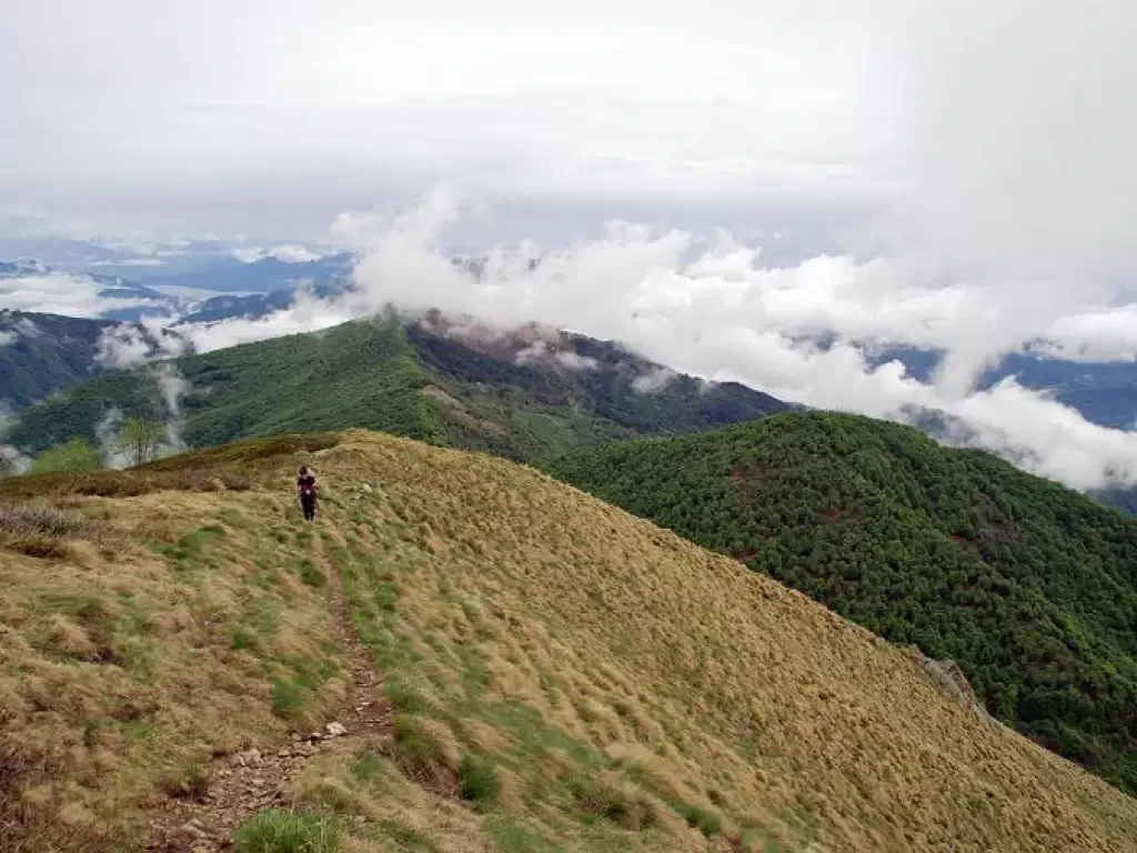
Massa del Turlo, from the Colma della Foglia
Panoramic hike on the ridge between the Strona Valley and the foothills north of Varallo Sesia. It leads to a...
T2
0.00 Km
687 m
Val Fabiolo: giro occidentale
Si tratta di una escursione abbastanza conosciuta, di interesse ambientale ed etnografico, che si svolge su una mulattiera secolare, a...
T2
9.51 Km
1036 m
Forcella di Frasnedo, da Piazzo
Gita ad anello che, nella seconda parte, segue sentieri recentemente risegnalati dall'Azienda Regionale per le Foreste dopo abbandono di anni....
T2
11.06 Km
1062 m
Contrade of Berbenno
A wide tour leading to visit the Rhaetian slope north of Berbenno, areas that are currently uninhabited but bear the...
T2
0.00 Km
166 m
Pizzo Camoghè, from Colla
Classic excursion in Canton Ticino to a peak famous for its open panorama over much of the circle of the...
T2
0.00 Km
1174 m
Lake Lei, from the dam car park
A very simple and non-fatiguing excursion of scenic interest, where the artificial reservoir does not stand out against the backdrop...
T1
0.00 Km
13 m
Soglio and Bondo, from Villa di Chiavenna
Beautiful and simple tour that allows you to visit two ancient and noble villages within walking distance of Italy. The...
T2
0.00 Km
393 m
Pansera Bivouac, from Campo Moro
Great access trip to the highest peaks of the Rhaetian Alps. The route is 40% on fairly quiet glaciers, only...
F
0.00 Km
1556 m
Monte Cristallo, from the Stelvio Pass
Strange excursion. For much of the route you follow the easy slopes of the summer ski lifts, but monotony is...
OSA
0.00 Km
676 m
