All
Hiking
Snowshoeing
Ski-mountaineering
Mountaineering
Via ferrata
Climbing
Mountain bike
Trekking

Edited by:
Massimo Martini
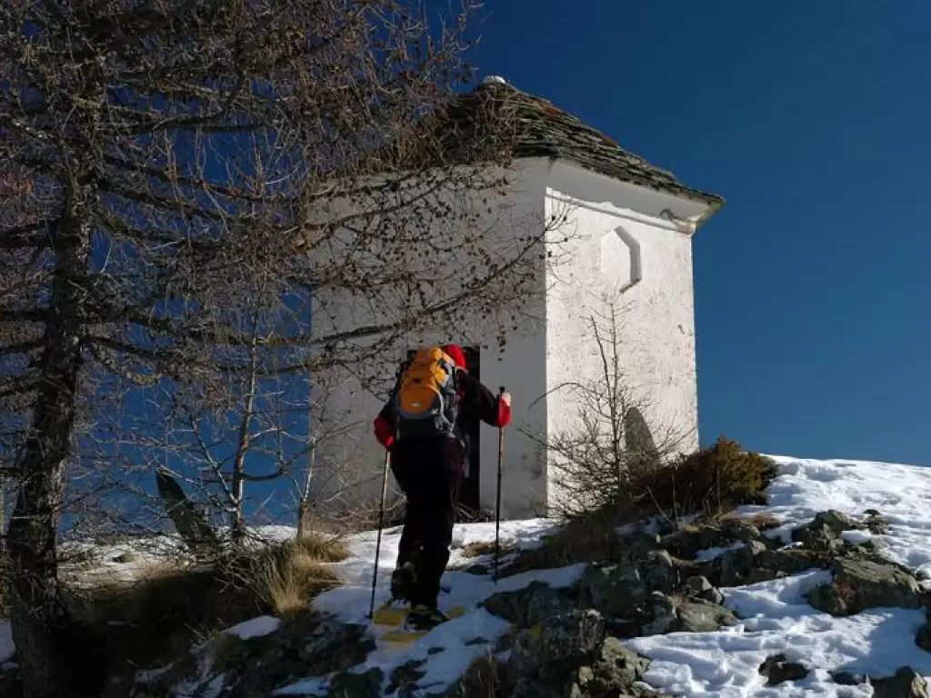
Gilliarey Oratory, from Etirol
Interesting itinerary in the middle Valtournenche. The ascent to the Oratory of Gilliarey allows you to admire splendid views and...
WT2
11.00 Km
576 m
Edited by:
Massimo Martini
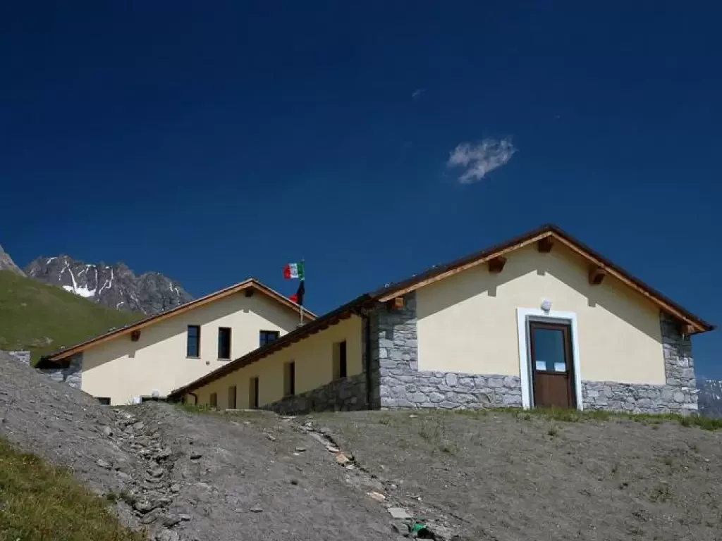
Champillon Refuge, from Les Rey
The Champillon hut, opened in June 2005, is one of those huts of which one can safely say: it was...
T2
11.00 Km
1038 m
Edited by:
Massimo Martini
Pourcil, from Outrefer
A fascinating route that starts from the small village of Outrefer and leads to the discovery of different natural environments....
AD
6.39 Km
681 m
Edited by:
Massimo Martini
Palud, from Sommarèse
Short but interesting trans-communal hike through the beautiful forests descending from the Tête de Comagne. The practically zero altitude difference...
WT1
6.00 Km
81 m

Edited by:
Ivano Ruffoni
Rifugio Noaschetta, from Noasca
Easy itinerary in the Gran Paradiso National Park. The Noaschetta Refuge is located after the rocky bastion that closes, to...
T2
6.36 Km
540 m
Edited by:
Massimo Martini
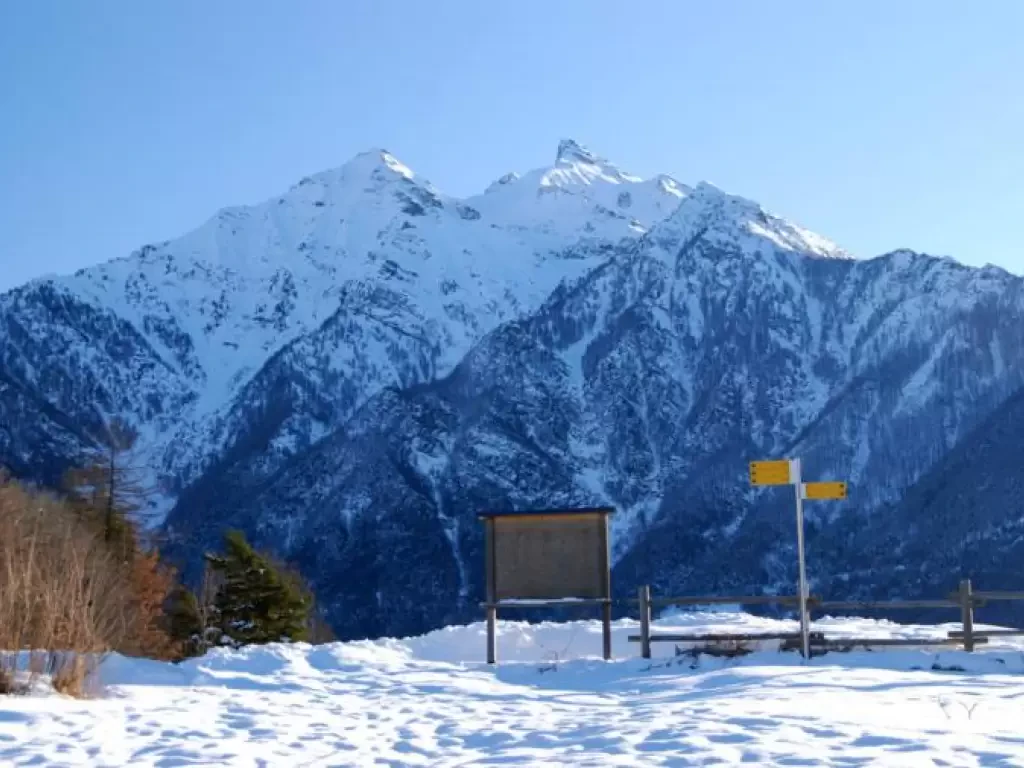
Col d'Arlaz, from Grand Hoel
In particularly snowy winters, some routes become practicable with snowshoes. The itinerary proposed here falls into this category: the altitude,...
WT2
0.00 Km
165 m

Edited by:
Alain Martini
Mouth of Eclou, from the Fenillettaz car park
Walk halfway up the slopes of Mont Bieteron (2763m), climb up the Estoul valley to the lakes of the same...
T2
0.00 Km
913 m
Edited by:
Massimo Martini
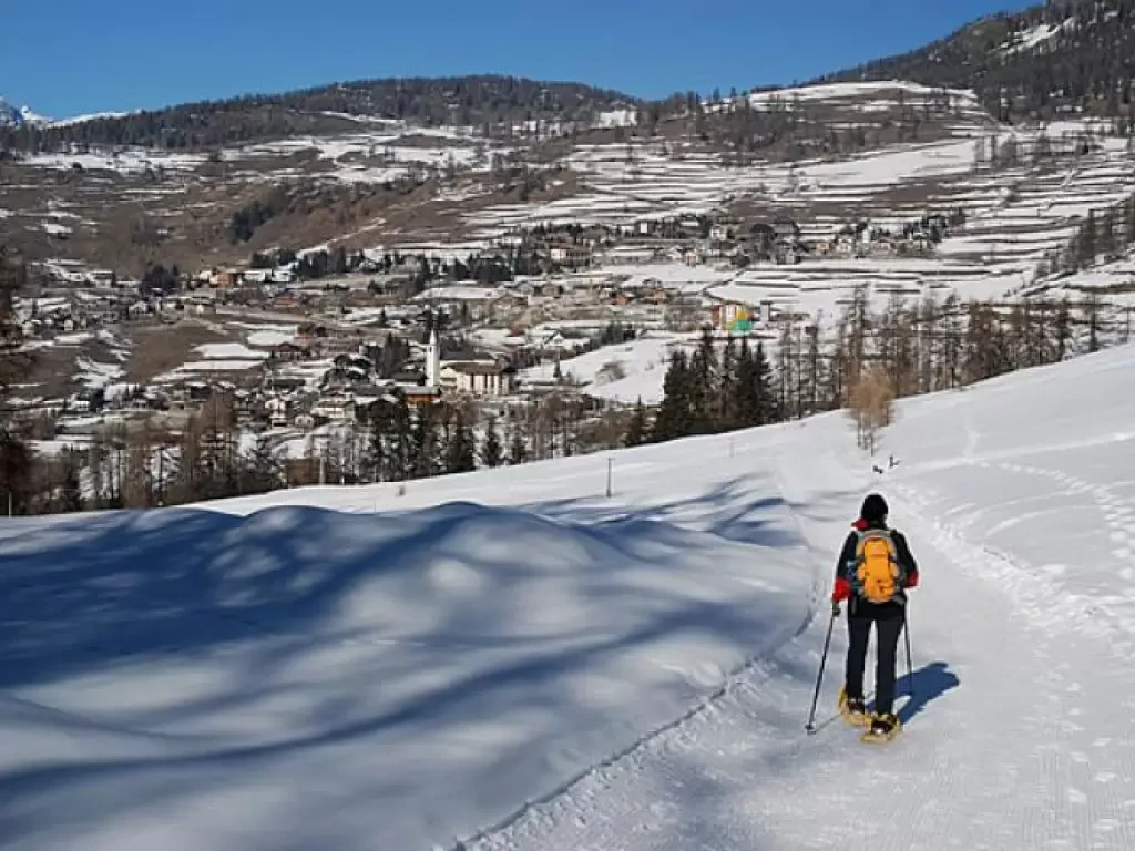
Champlong, from Vieu
One of the most beautiful snowshoe routes in the Aosta Valley. With good snow conditions, this circular route manages to...
WT2
14.00 Km
630 m
Edited by:
Massimo Martini
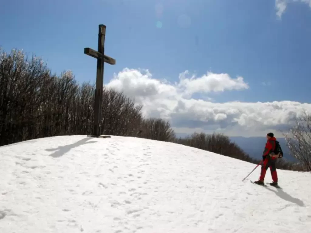
Mount Falterona
Mount Falterona, together with the nearby Mount Falco, represent the two main peaks of the Casentino Forest National Park. The...
WT2
0.00 Km
200 m
Edited by:
Massimo Martini
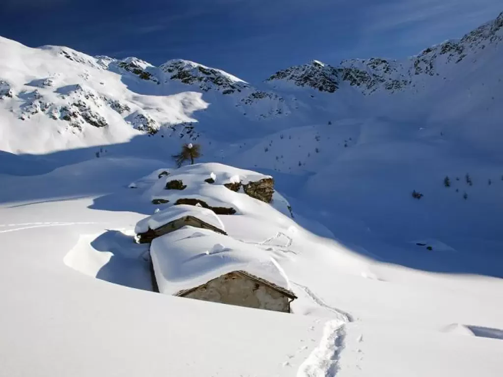
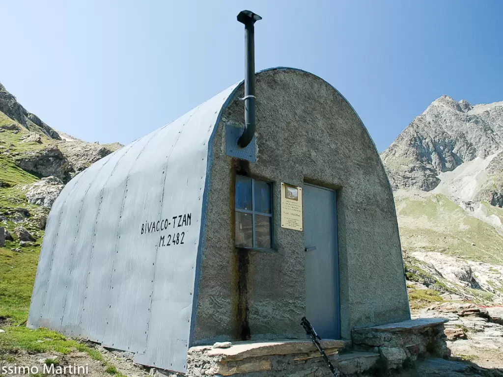
Tsan Bivouac, from Champtorné
A walk that can also be done by bicycle (on the farm road section) and that without much effort will...
T2
0.00 Km
586 m
Edited by:
Massimo Martini
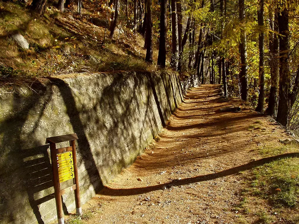
Brengon, from Promiod
Simple walk through the woods of the middle Valtournenche. Short, easy and scenic: a good starting point for taking your...
WT2
5.00 Km
219 m
Edited by:
Massimo Martini
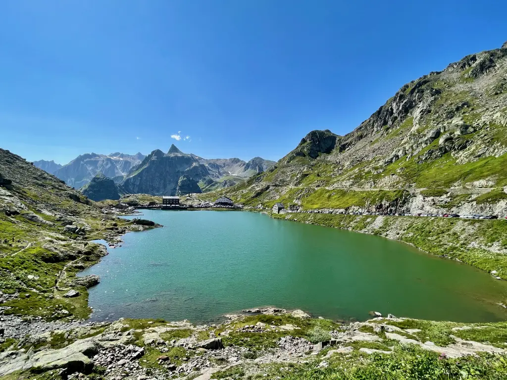
Tour des Col du Grand Saint-Bernard
A pleasant excursion, never monotonous, for good walkers. The panorama is rare and enchanting. We cross 3 hills to complete...
T2
11.69 Km
1000 m